About this sheet
Antique Ethiopia Abyssinia Map Blaeu c.1642 – Nile, Figures, Cartouche
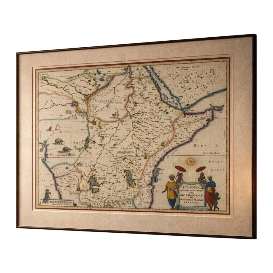
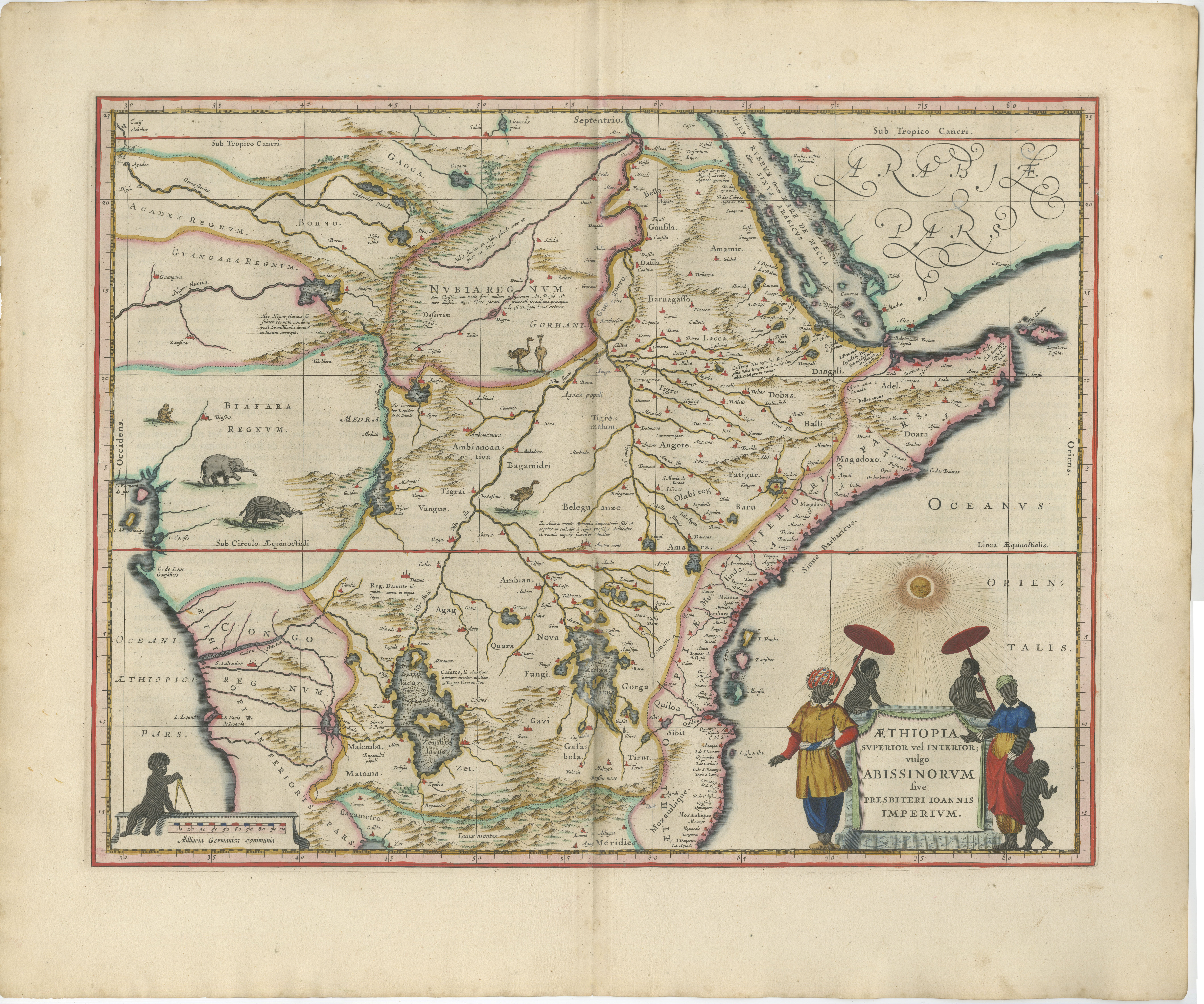
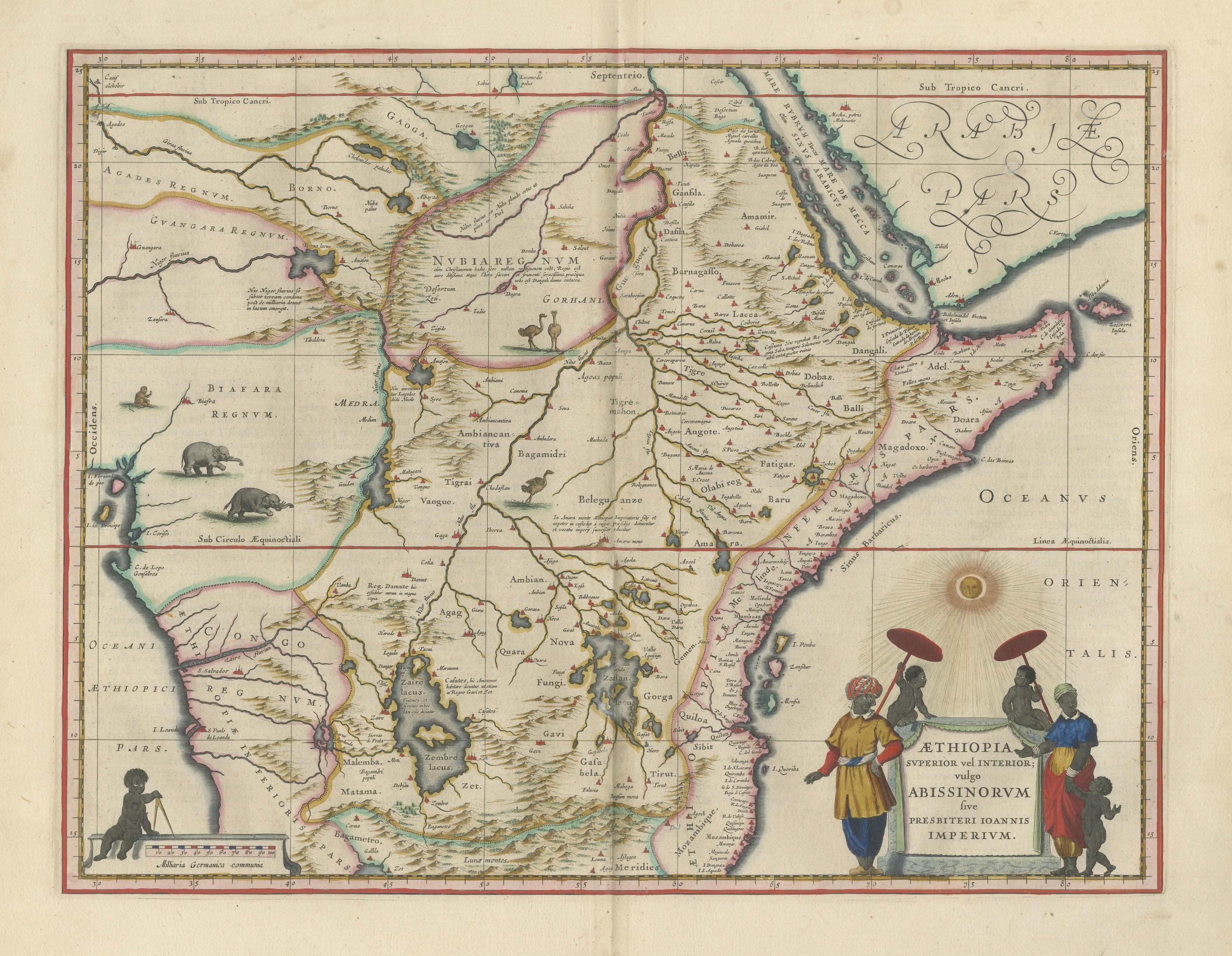
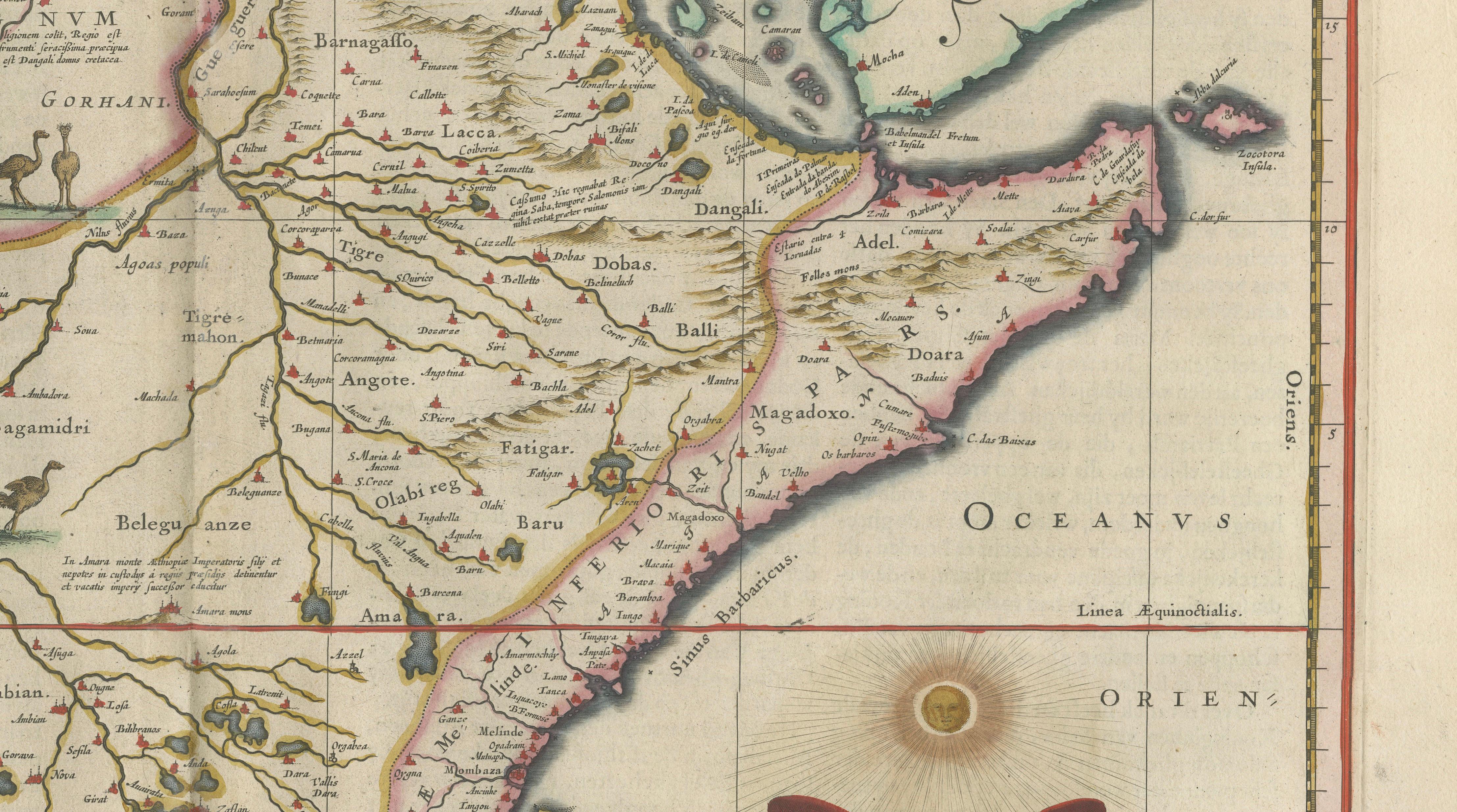
This highly decorative and historically important map of Ethiopia and Abyssinia was engraved by Willem Blaeu, one of the leading cartographers of the Dutch Golden Age, and published in his celebrated Toonneel des Aerdrycx atlas around 1640. Rich in both geographic and artistic detail, the map reflects early European knowledge of the African interior and the legendary Christian kingdom of Prester John.
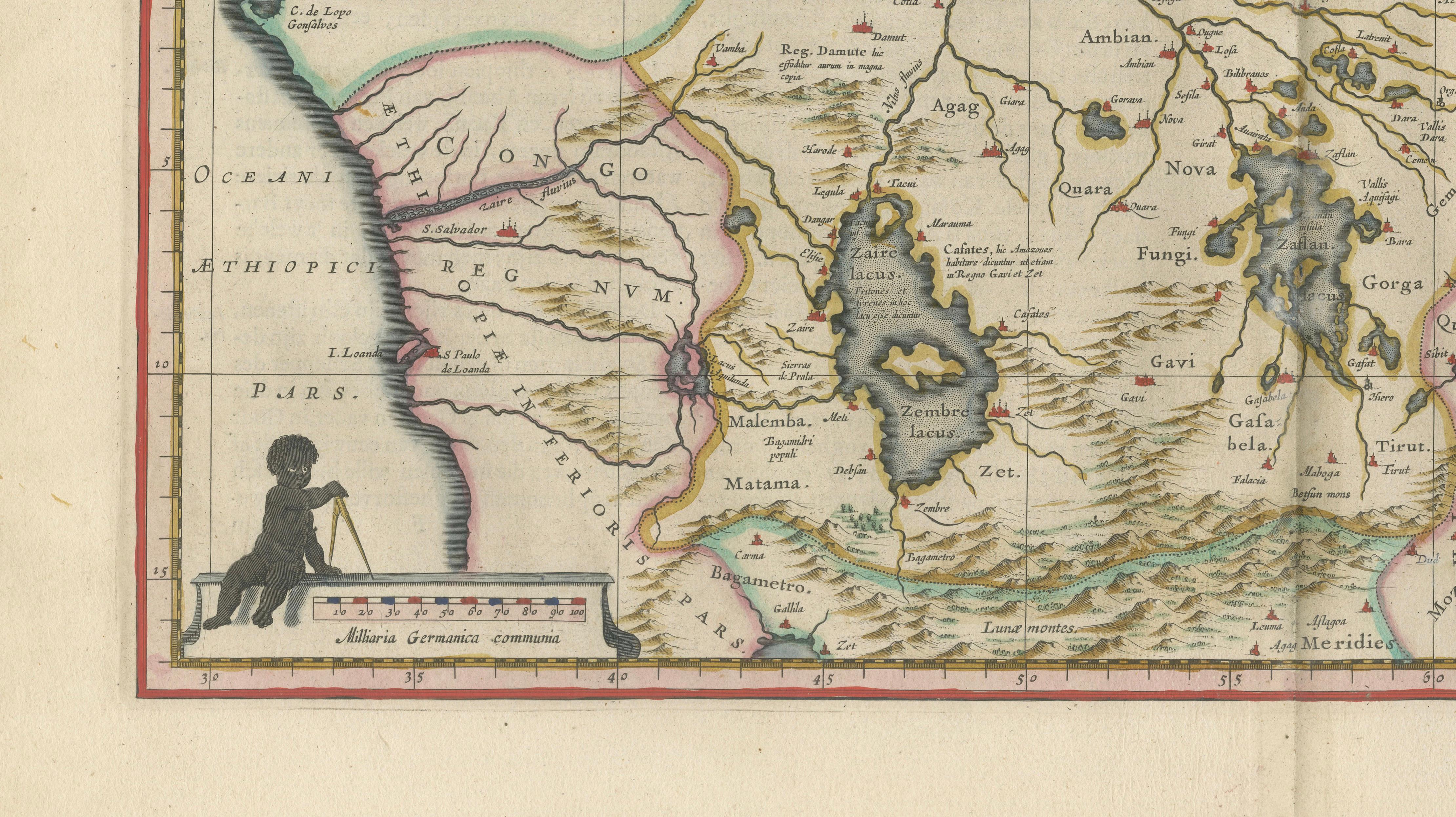
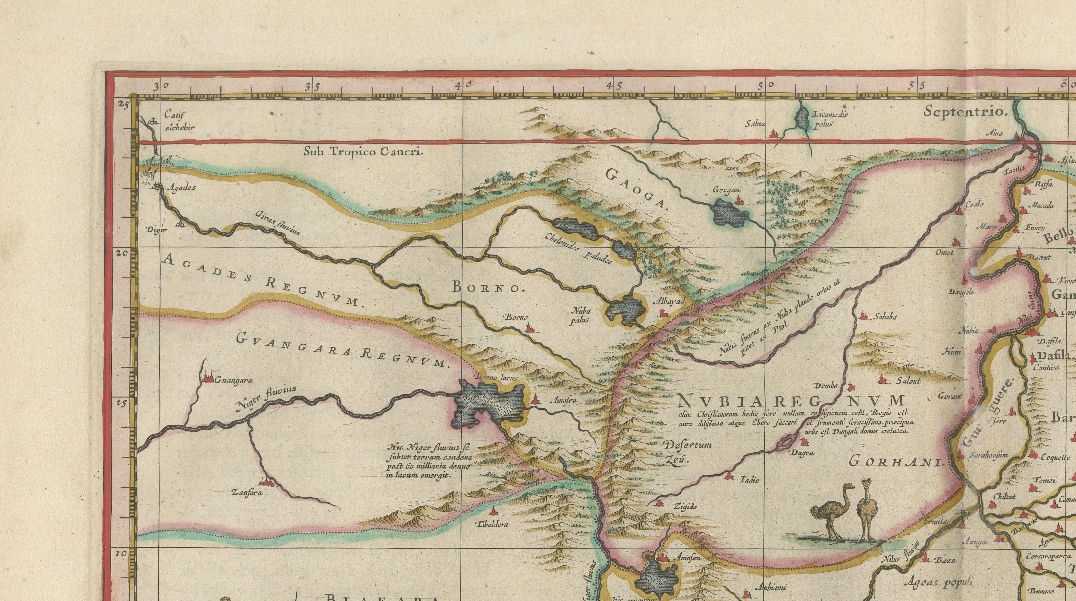
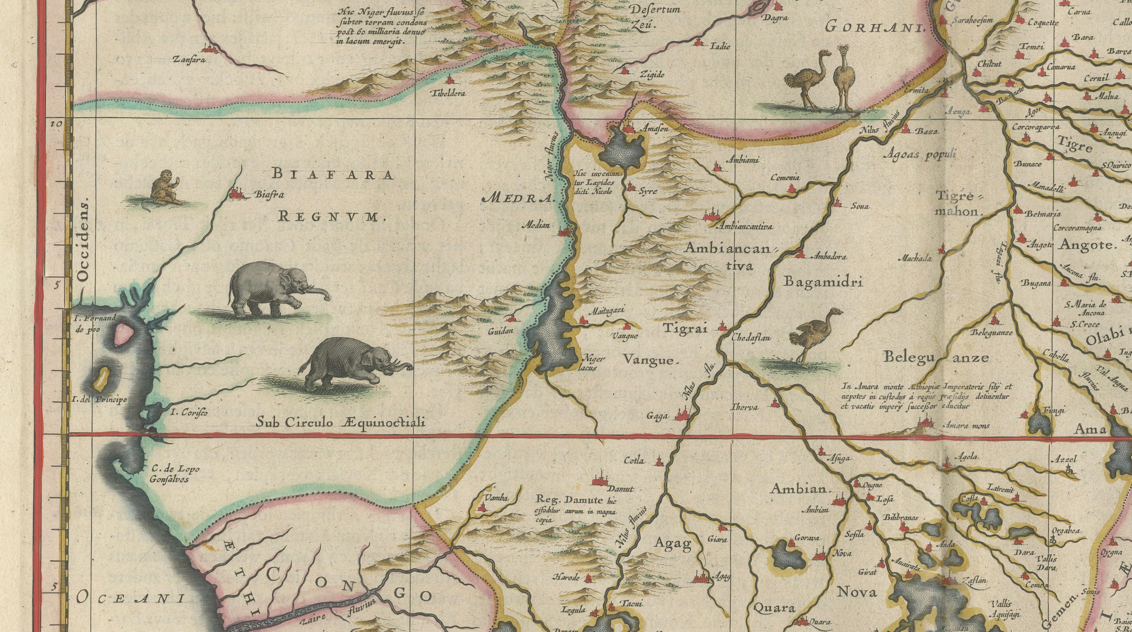
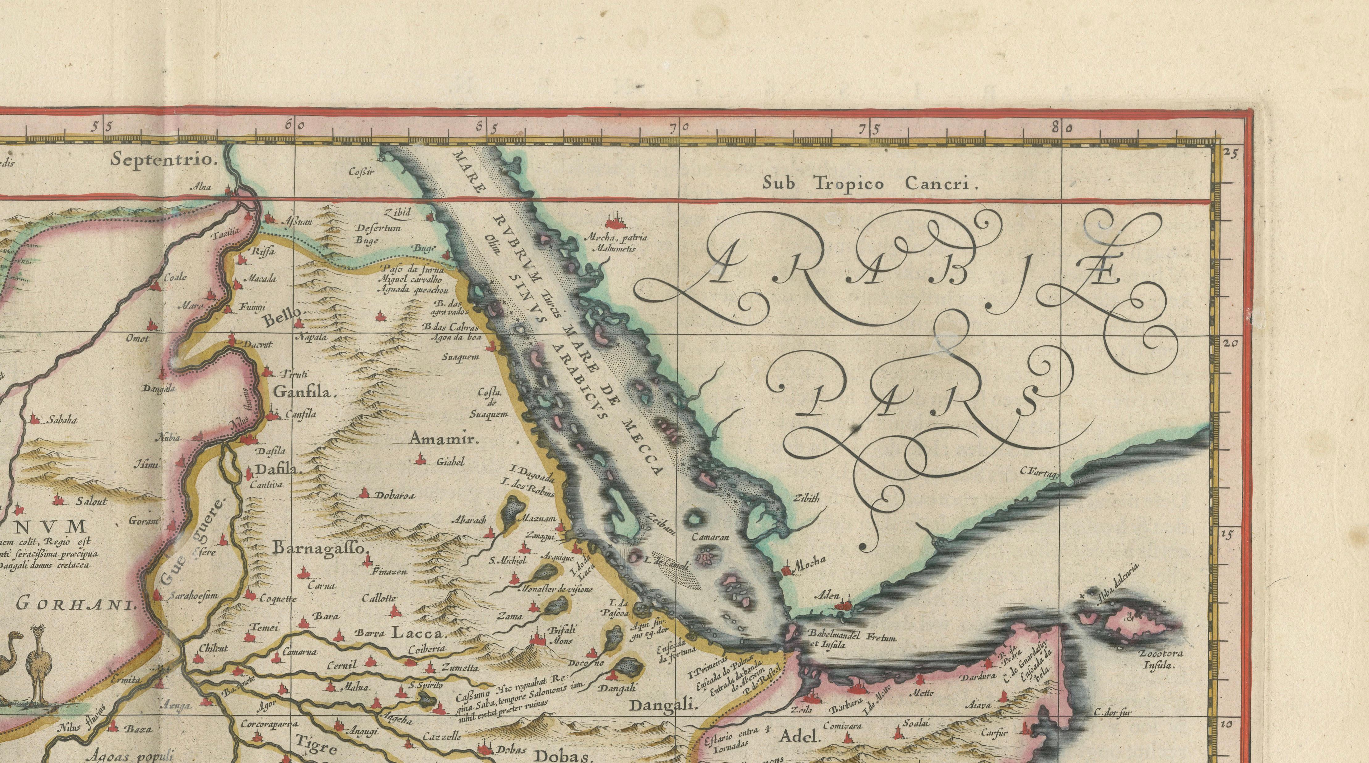
The composition centers on the Upper Nile region and the Horn of Africa, extending from Nubia and the sources of the Nile to the Red Sea and the coastal regions of present-day Somalia. Lakes, rivers, and mountain ranges are carefully delineated, including early interpretations of the Nile’s origins, a subject of great fascination in 17th-century Europe. The map includes numerous place names and regional divisions, offering insight into historical geography and trade routes across Northeast Africa.
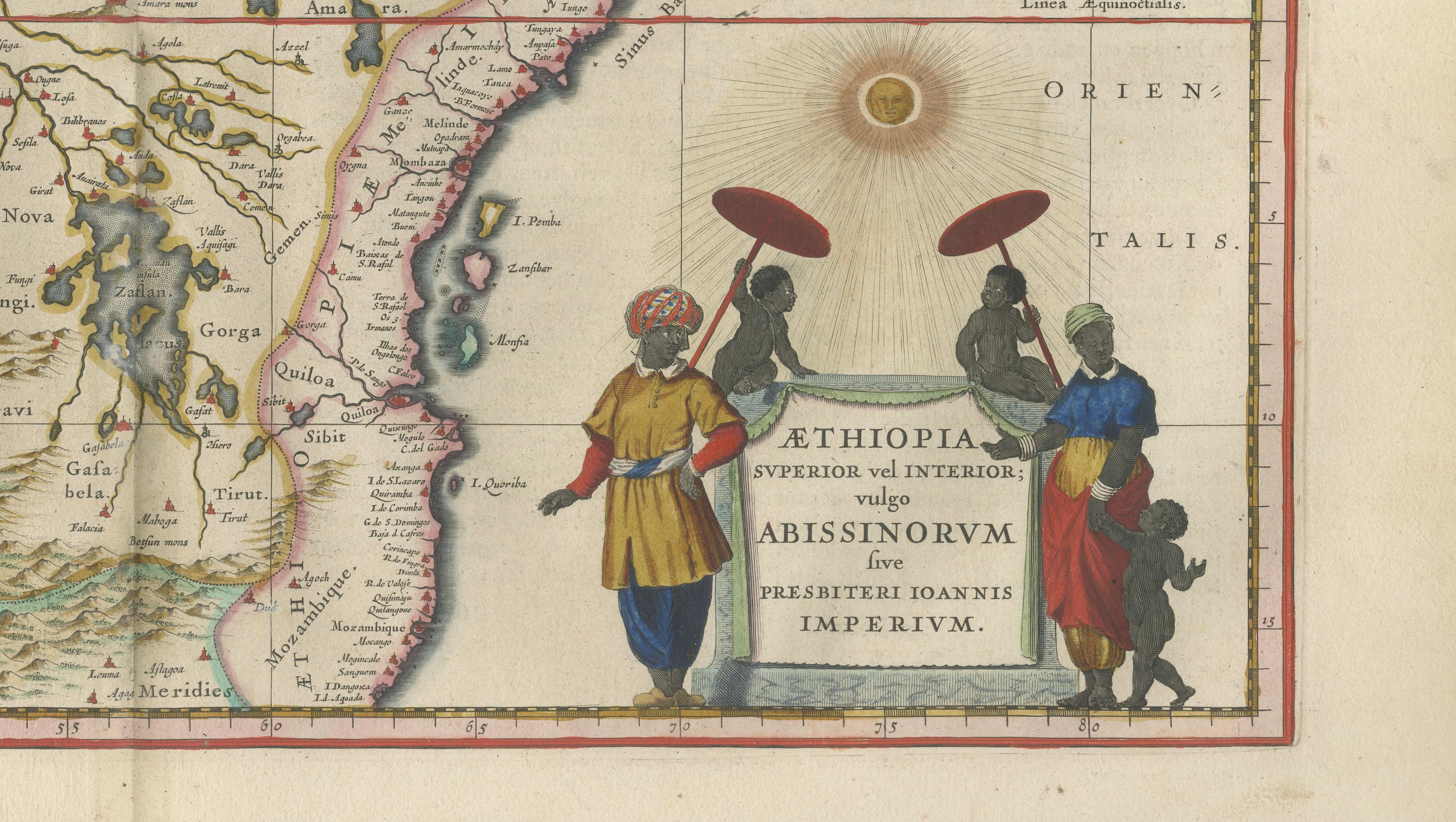
Blaeu enhances the map with lively decorative elements, including animals such as elephants and exotic birds, as well as finely engraved topography. The lower right features an elaborate cartouche depicting local figures beneath a radiant sun, referencing the Kingdom of Abyssinia and the mythic empire of Prester John. Additional ornamental features include a scale cartouche with a seated figure and finely balanced hand coloring that highlights borders and geographic features.
Maps of Abyssinia from Blaeu’s atlas are particularly sought after for their combination of rarity, historical intrigue, and strong decorative appeal. This example stands out for its balanced layout, engaging figural elements, and the enduring fascination with the Nile and early African exploration.
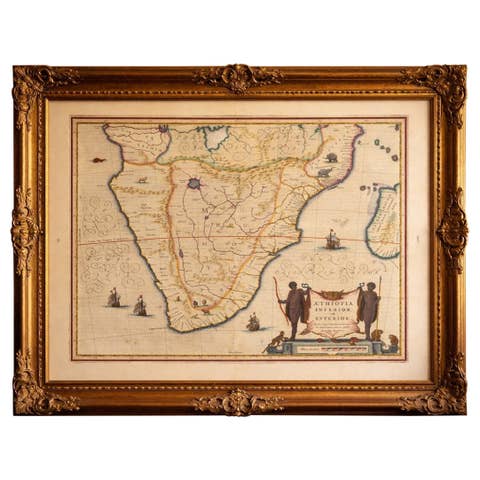
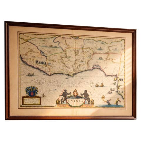
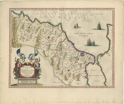
This is an original 17th-century engraving, not a reproduction. All items we offer are authentic period works of art over 100 years old. The map is sold unframed; any framed images are shown for presentation and interior inspiration only.
Condition: Good condition with age-related toning. Original center fold as issued. Light discoloration and minor wear at the edges, consistent with age. Paper remains strong and stable. A well-preserved and attractive impression.
Framing tips: This map displays beautifully in a dark walnut or ebonized frame with a wide ivory mat, allowing the detailed engraving and figural cartouche to stand out. Ideal for a study, library, or refined interior, especially against warm neutral or deep-toned walls.
Keywords: Ethiopia map, Abyssinia map, Prester John map, Nile source map, Upper Nile, Sudan, Nubia, Red Sea map, Horn of Africa, Somalia, Eritrea, Djibouti, Blue Nile, Lake Tana, African interior map, Blaeu Ethiopia, Willem Blaeu map, antique Africa map, Dutch Golden Age cartography, 17th century map, hand colored engraving, Toonneel des Aerdrycx, decorative antique map, historical Africa map, early exploration Africa, exotic animals map, ethnographic Africa
Technique: Copperplate engraving with original hand-coloring
Maker: Willem Blaeu, Amsterdam, c.1642