Antique Maps
841 original sheets
Europe 3023Asia 1110Africa 236America 548Australia & Oceania 159World Maps 111Sea Charts 209Celestial Maps 22
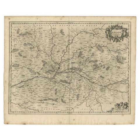
Antique Map of the Region of the Loire Valley by Janssonius, 1657
1657 · £286
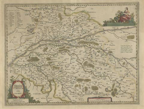
Antique Map of the Region of Touraine in France by Janssonius, 1657
1657 · £383
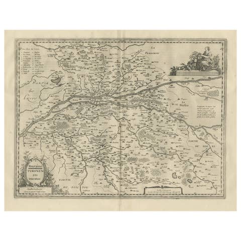
Antique Map of the Region of Touraine, France by Janssonius, 1657
1657 · £491
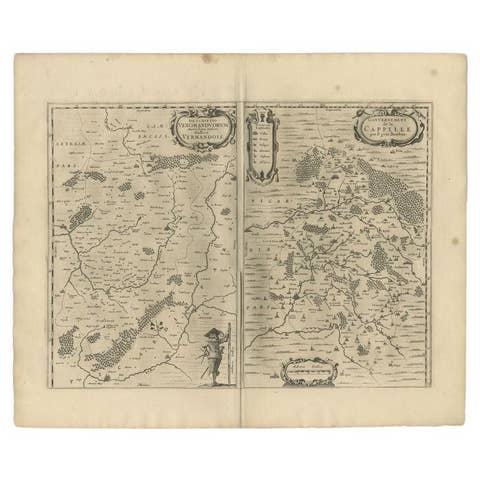
Antique Map of the Region of Vermandois and Cappelle, France by Janssonius, 1657
1657 · £558
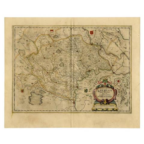
Antique Map of the Region of Zutphen in The Netherlands by Janssonius, 1647
1647 · £458
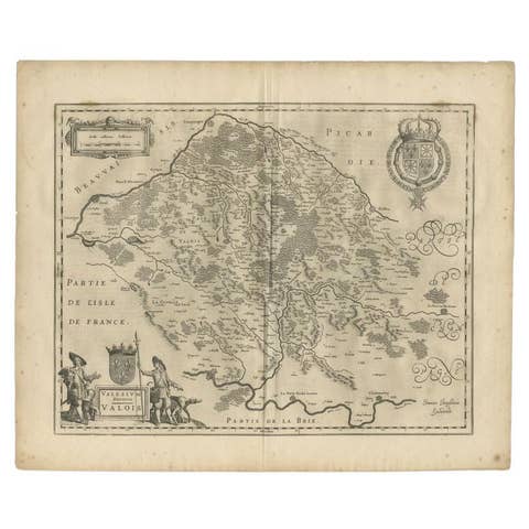
Antique Map of the Seine-et-Marne / Champagne Region by Janssonius, 1657
1657 · £258
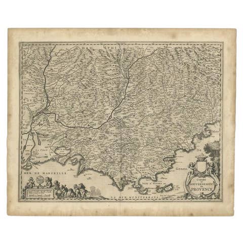
Original Antique Map of the Southern Coast of France by Janssonius, 1657
1657 · £600
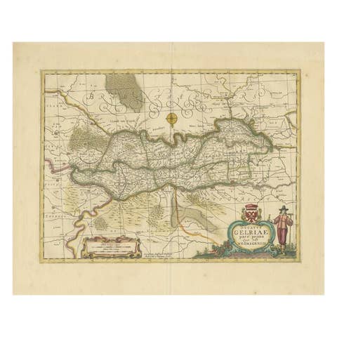
Antique Map of the Region of Zutphen in Overijssel, The Netherlands, 1683
1683 · £608
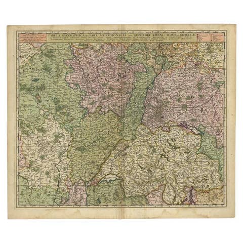
Antique Map of the Rhine and Moselle River Region in Germany and France, c.1680
1680 · £458
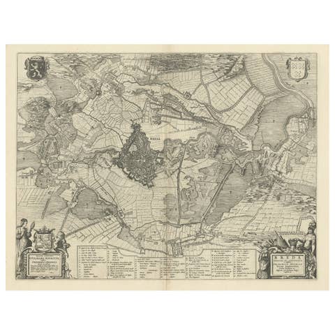
Antique Map of the Siege of Breda, City in the Netherlands by Blaeu, 1649
1649 · £494
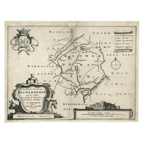
Antique Map of the Region of Rauwerderhem, Friesland, The Netherlands, '1664'
1664 · £183
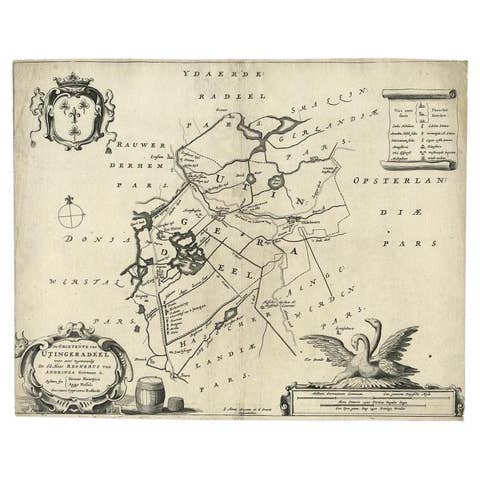
Antique Map of the Region of Utingeradeel in Friesland, The Netherlands, 1664
1664 · £242
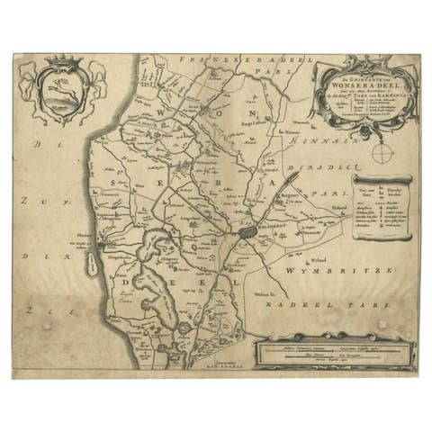
Antique Map of the Region of Wonseradeel by Schotanus, 1664
1664 · £75
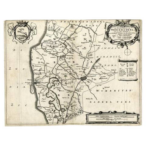
Antique Map of the Region of Wonseradeel, Friesland in the Netherlands, 1664
1664 · £158
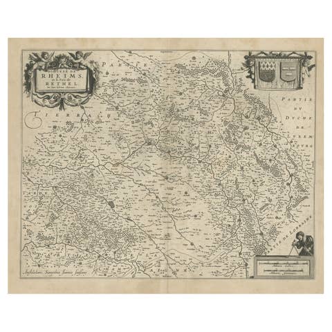
Antique Map of the Rethelois or Rethel Region in France by Janssonius, ca.1650
1650 · £230
Antique Map of the Region of Zevenwouden, Friesland, The Netherlands, 1660
1660 · £217
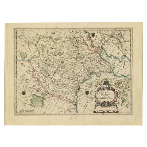
Antique Map of the Region of Zutphen, Netherlands by Janssonius, c.1680
1680 · £375

Antique Map of the Southern Lorraine Region by Mercator, c.1625
1625 · £136
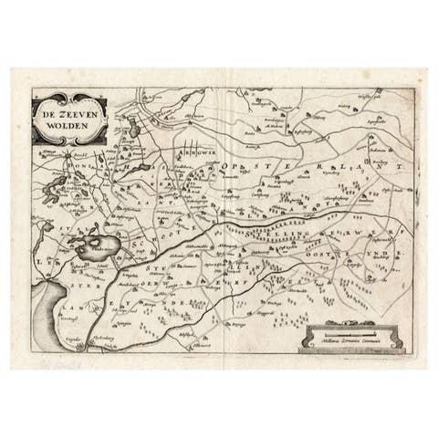
Antique Map of the Region of Zevenwouden in Friesland, The Netherlands, 1635
1635 · £292
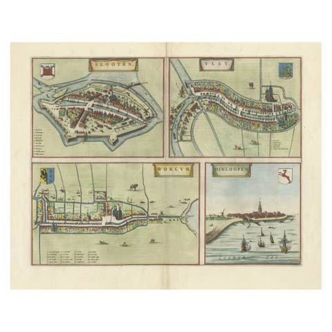
Engravings of the Frisian Cities of Sloten, IJlst, Workum and Hindelopen, c.1650
1650 · £550
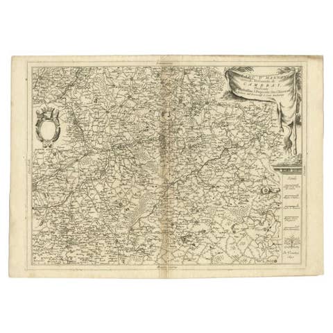
Detailed Antique Map of Western Belgium and Eastern France by Coronelli, 1690
1690 · £323
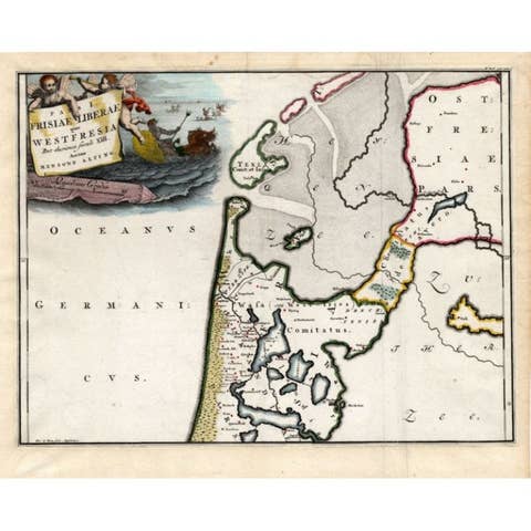
Antique Map of Westfriesland in Ancient Times by Alting, 1697
1697 · £142
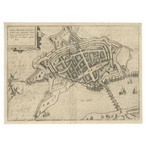
Antique Map of Zaltbommel in the Netherlands, by Guicciardini, 1613
1613 · £280
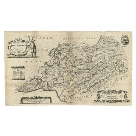
Antique Map of Zevenwouden in Friesland by Schotanus, 1664
1664 · £242
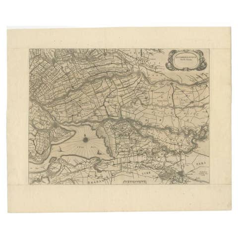
Original Antique Map of Zuid-Holland in the Netherlands by Blaeu, C.1645
1645 · £334
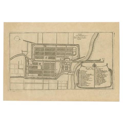
Antique Plan of Batavia in the Dutch East Indies or Indonesia, circa 1695
1695 · £242
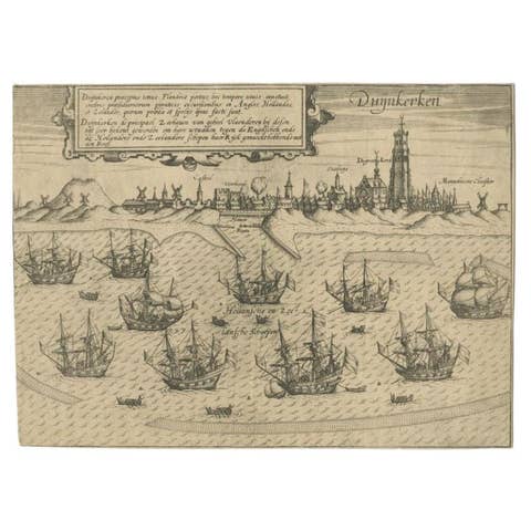
Antique Plan of Duinkerke or Dunkirk in France by Guicciardini, 1612
1612 · £126
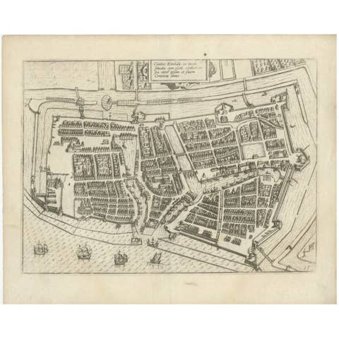
Antique Plan of Emden in Germany by Guicciardini, 1612
1612 · £317
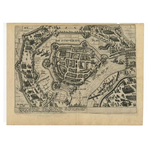
Antique Plan of Grave, The Netherlands, Showing the Siege of Grave in 1602
1602 · £244
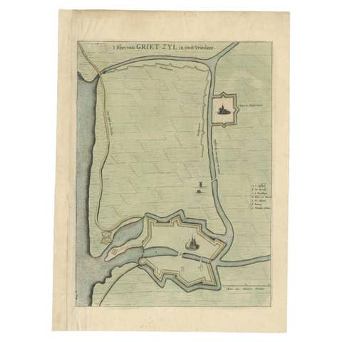
Antique Plan of the Fortress of Greetsiel, Germany, by Blaeu, c.1650
1650 · £275
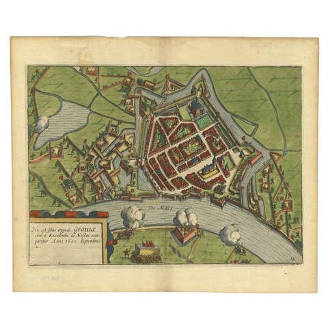
Antique Plan of the Siege of Grave by Guicciardini, c.1608
1608 · £400
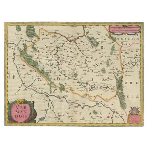
Antique Map of the Vermandois Region 'Picardy' in France by Janssonius, C.1640
1640 · £367
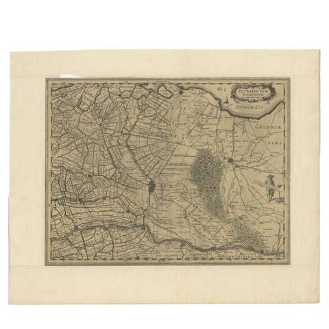
Original Antique Map of Utrecht in the Netherlands by Blaeu, C.1645
1645 · £458

1670 Royal Banquet for Dutch Embassy in China - Antique Engraving by Dapper
1670 · £317
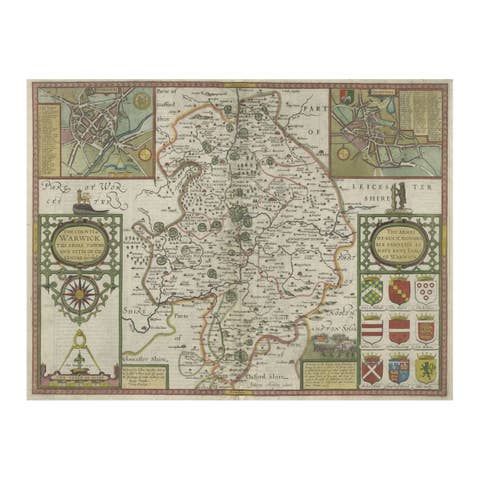
Antique Map of Warwickshire in England by Speed, c.1614
1614 · £633
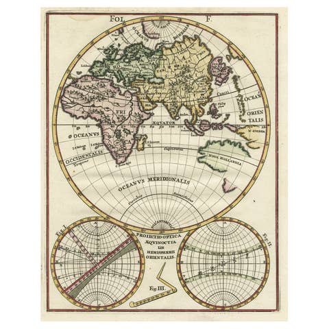
Original Antique Engraving of the Eastern Hemisphere, c.1700
1700 · £766
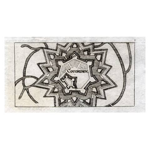
Antique Map of Coevorden in the Netherlands, 1691
1691 · £75
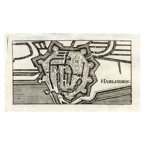
Antique Map of Harlingen, Harbour City in the Netherlands, 1691
1691 · £117
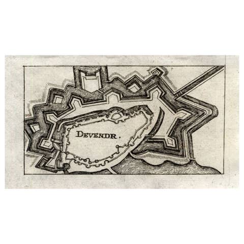
Antique Map of Deventer in the Netherlands, 1691
1691 · £108
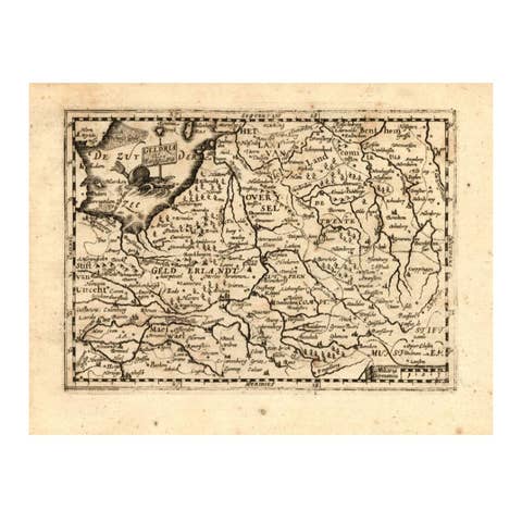
Antique Map of Gelderland and Overijssel by Guicciardini, 1613
1613 · £233
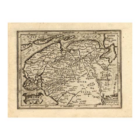
Antique Map of Friesland by Guicciardini, 1613
1613 · £233
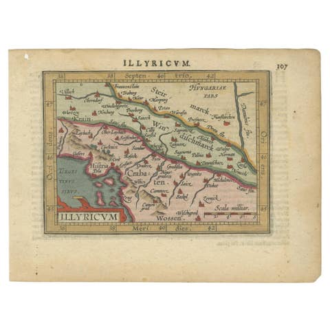
Antique Miniature Map of the Roman Province of Illyricum 'Dalmatia', 1612
1612 · £283
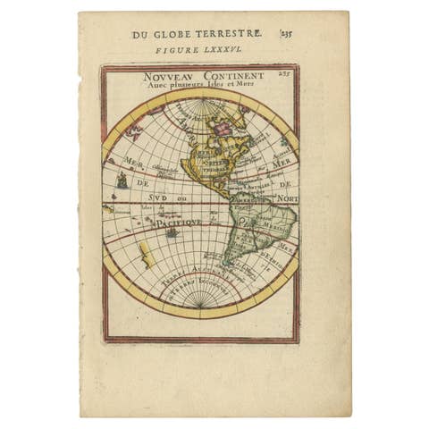
Antique Miniature Map of the Western Hemisphere, California as an Island, c.1683
1683 · £341
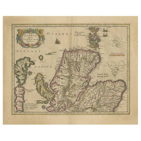
Original Antique Map of the Northern Part of Scotland, circa 1640
1640 · £733

Rare and Early Map of the Seventeen Provinces, Published in circa 1640
1640 · £1,833
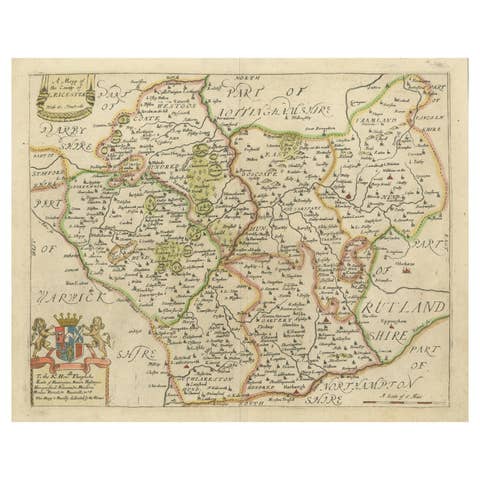
Leicestershire – Antique Map of Leicester by Richard Blome, Britannia 1673
1673 · £367
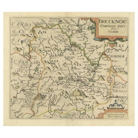
Original Antique Map of Brecknockshire, Wales, circa 1640
1640 · £367
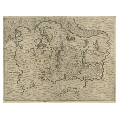
Denbighshire & Flintshire – Antique Map from Drayton’s Poly-Olbion, 1622
1622 · £641