

Maps & PrintsBartele Gallery · Langweer
Home / Antique Maps / Europe / Northern Europe

Northern Europe · 17th century

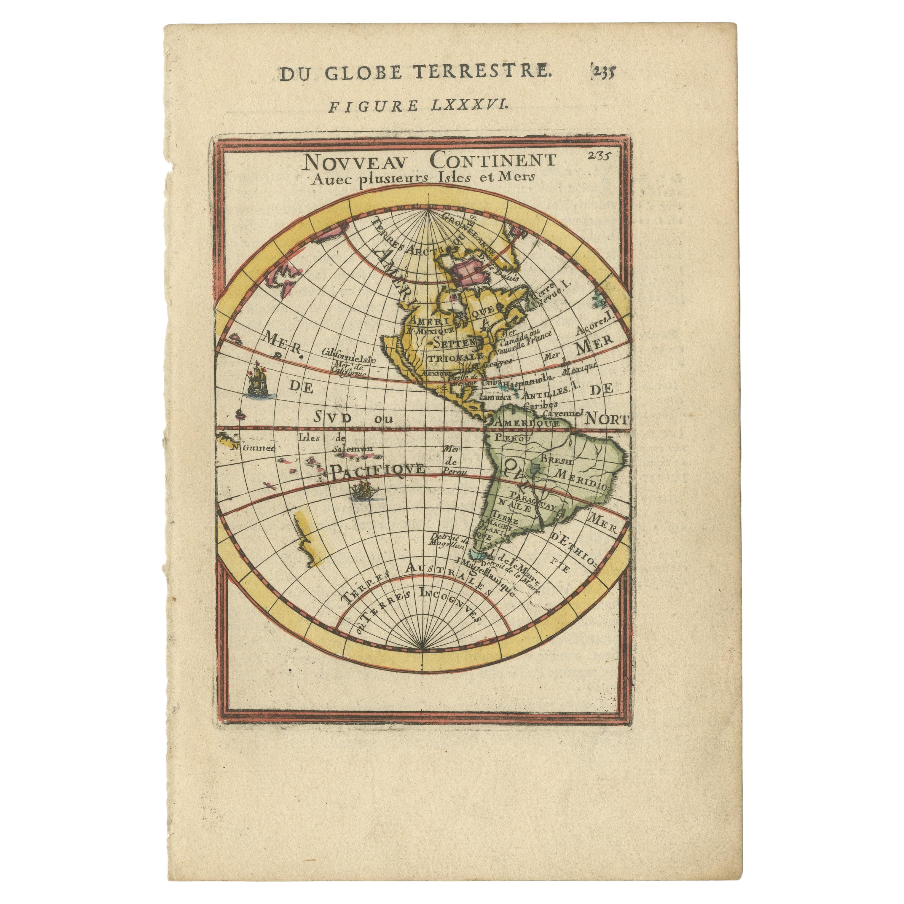
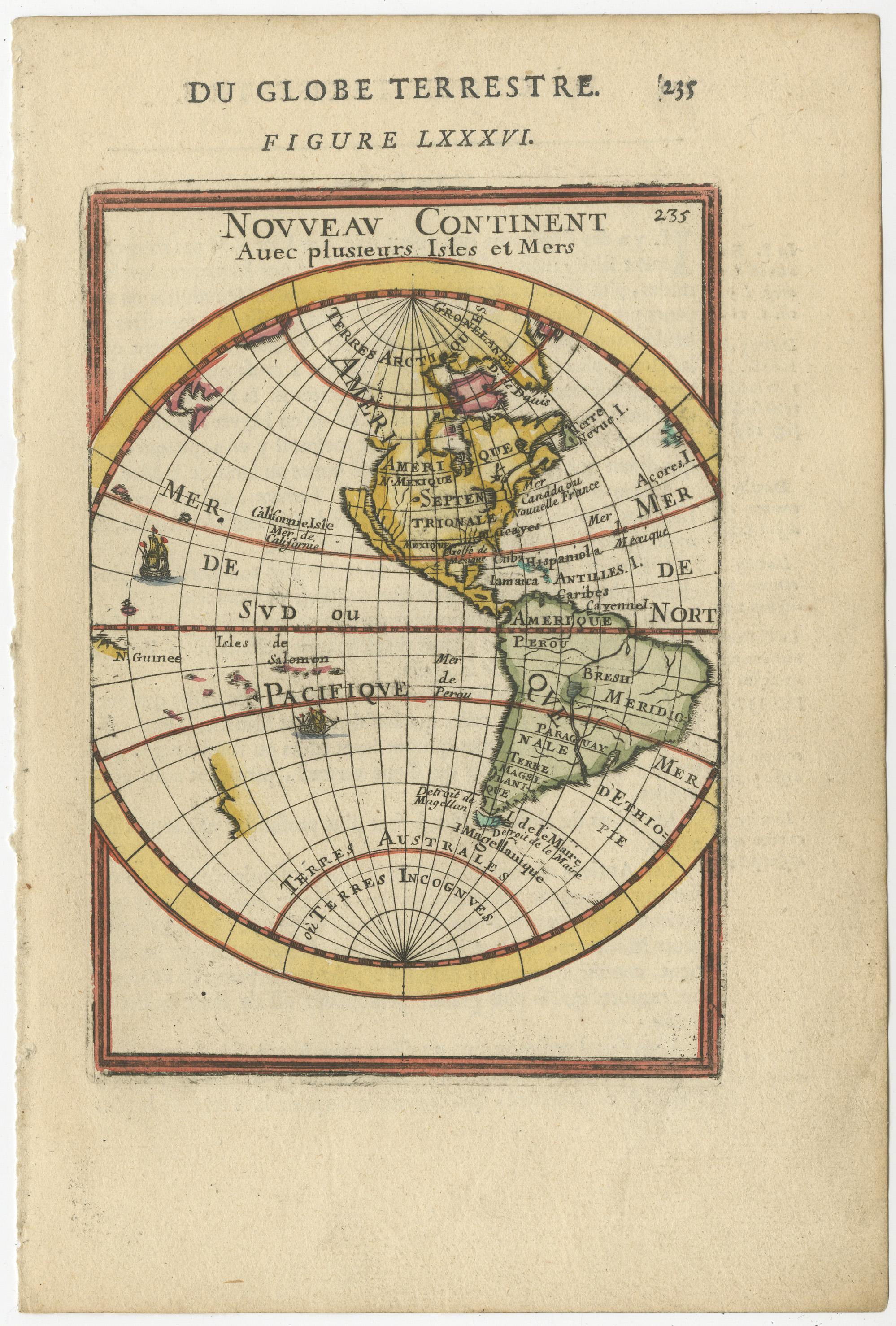
Antique Miniature Map of the Western Hemisphere, California as an Island, c.1683

€ 410

One of a kind: this is the sheet in the photographs. Ships from Langweer, the Netherlands.

Date
1683
Sheet size
21 × 14.2 cm (8.3 × 5.6 in)
Condition
Good
Reference
BG-13219

Condition

Wear consistent with age and use. General age-related toning, minor wear and soiling. French text on verso. Please study image carefully.
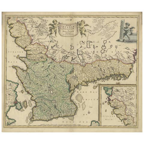
About this sheet

Antique miniature map titled 'Nouveau Continent avec plusieurs Isles et Mers'. Decorative map of the Western Hemisphere, published by Alain Manesson Mallet. The map shows California as an Island, no Northwest Coast of America and an incomplete New Zealand. This map originates from 'Description de l' Univers', published circa 1683.

Alain Mannesson Mallet (1630-1706) was a French mapmaker and engineer who served in the armies of Louis XIV. After rising through the ranks, Mallet was appointed as Inspector of Fortifications, a job which also required mathematical skills and which made him a competent military engineer. Eventually, he joined the court of Louis XIV at Versailles, where he taught math and focused on writing.

More from Northern Europe

Ask about this sheet

Antique Miniature Map of the Western Hemisphere, California as an Island, c.1683
1683 · Ref. BG-13219 · € 410
We reply by email, usually within one working day.