Maps & PrintsBartele Gallery · Langweer
Home / Antique Maps / Europe / Western Europe / United Kingdom & Ireland

United Kingdom & Ireland · 17th century

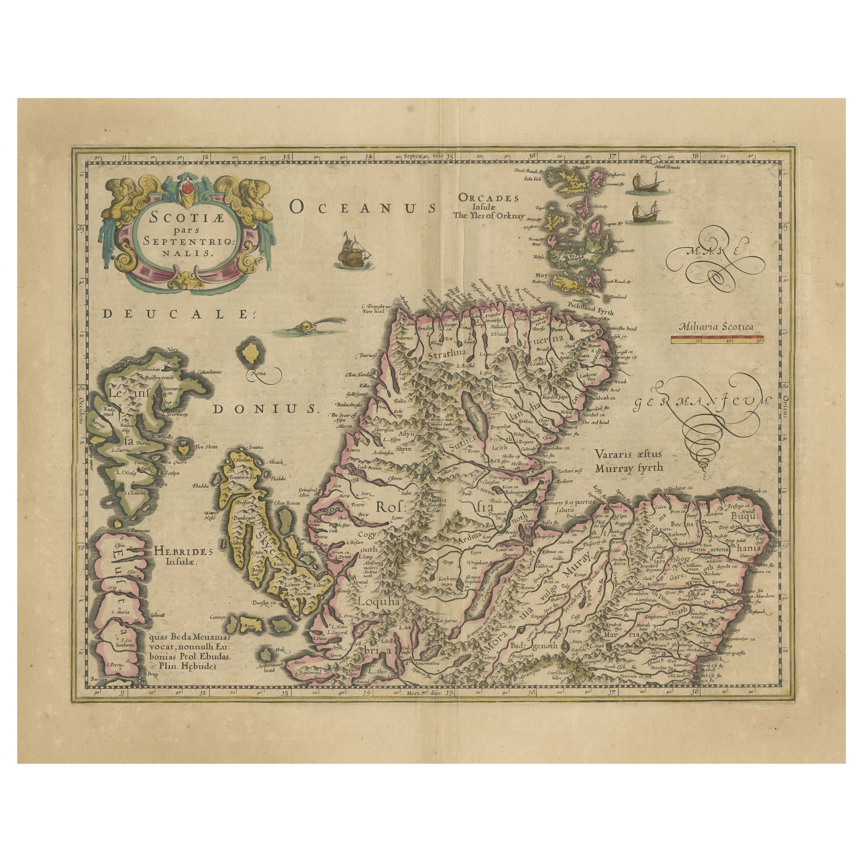

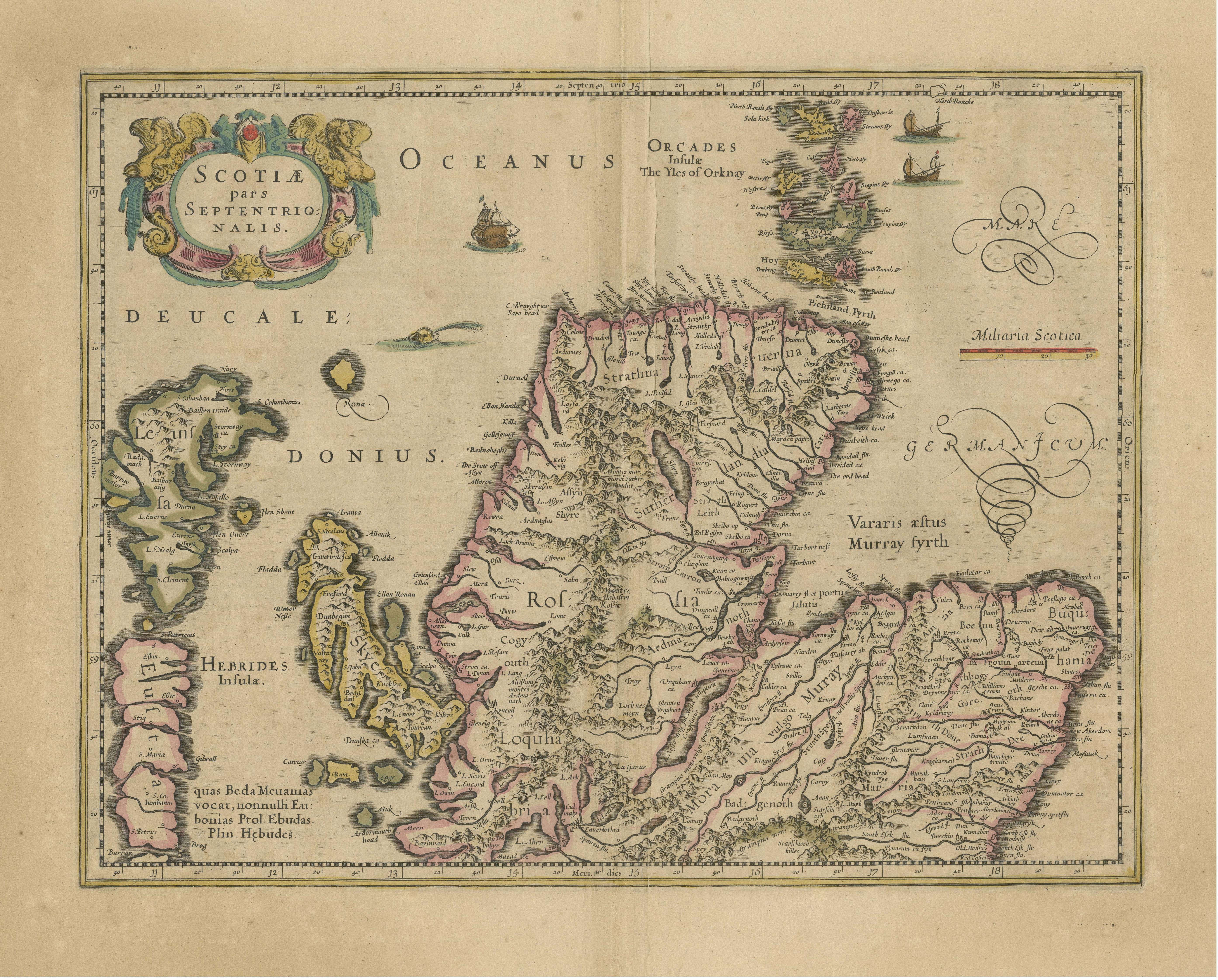
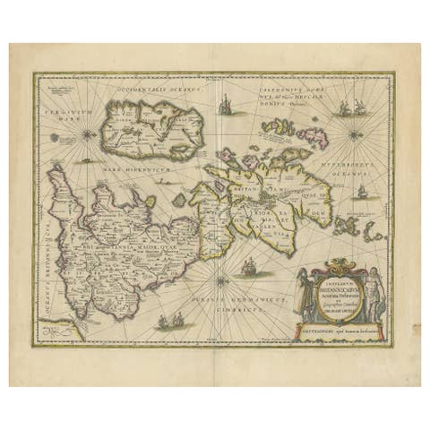
Original Antique Map of the Northern Part of Scotland, circa 1640

€ 880

One of a kind: this is the sheet in the photographs. Ships from Langweer, the Netherlands.

Date
1640
Sheet size
49.5 × 60.8 cm (19.5 × 23.9 in)
Condition
Fair
Reference
BG-13324-11

Condition

Original/contemporary hand coloring. Original folding line, with some additional creasing. Age-related toning, shows wear and soiling. Few tears in margins. French text on verso. Please study image carefully.
About this sheet

The antique map, titled 'Scotiae pars septentrionalis,' depicts the northern part of Scotland. Crafted by Hondius around 1640, this map is a historical treasure showcasing the geographical details of that period. Alongside the cartographic elements, such as land contours and place names, it features embellishments like illustrations of ships sailing the waters and mythical sea monsters, elements that were commonly used in cartography during that era to denote uncharted or dangerous territories.

This antique map not only serves as a navigational aid but also provides a fascinating glimpse into the artistic and imaginative expressions embedded in historical cartography.

More from United Kingdom & Ireland

Ask about this sheet

Original Antique Map of the Northern Part of Scotland, circa 1640
1640 · Ref. BG-13324-11 · € 880
We reply by email, usually within one working day.