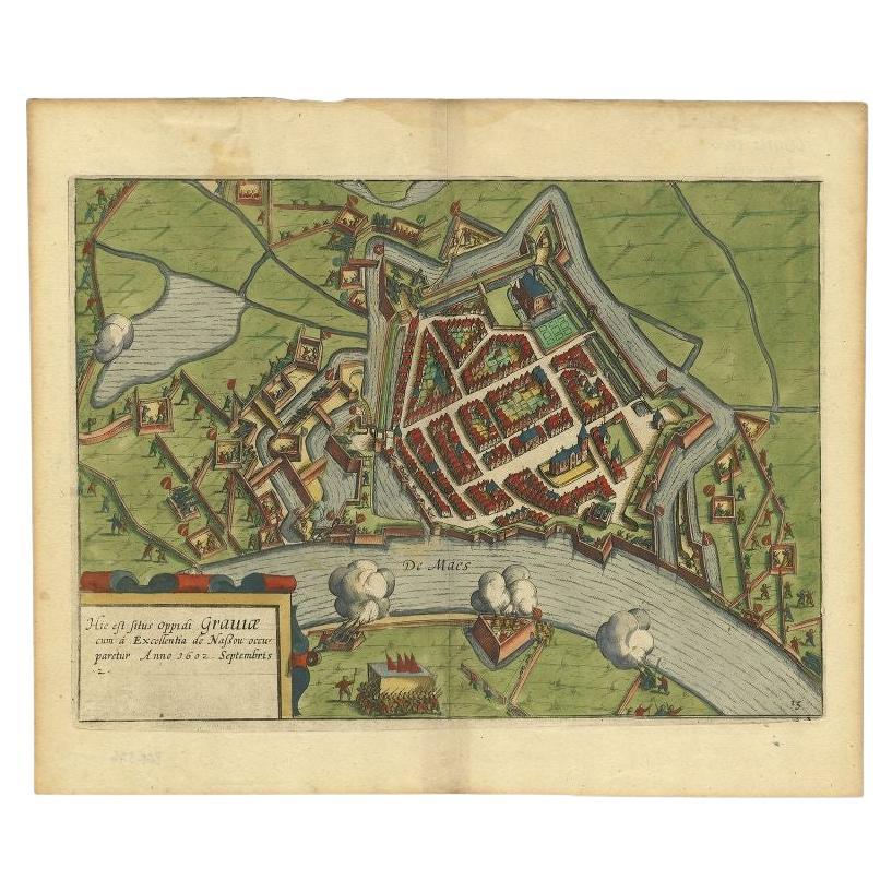
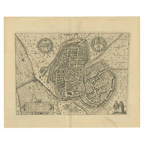
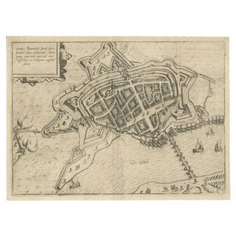
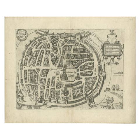
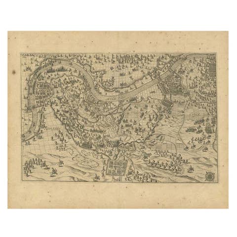
Antique Plan of the Siege of Grave by Guicciardini, c.1608
€ 480
Original antique · The actual sheet photographed · Certificate of authenticity on request · Sold unframed · Worldwide shipping from € 15 (rates)
Date
1608
Sheet size
29.2 × 37.9 cm (11.5 × 14.9 in)
Reference
PC-58903'
What the condition grades mean
Excellent
Bright and clean, with no faults worth mentioning.
Very good
Only light signs of age, such as faint toning.
Good
Normal signs of age for a sheet of this period: toning, some foxing, small marks or neat old repairs.
Fair
Clear faults such as staining, tears or repairs, priced to match.
Every fault we see is written in the condition note, and the whole sheet is shown uncropped in the photos.
Condition
Very good, given age. Some browning but only visible in the margins and on verso. Original middle fold as issued. General age-related toning and/or occasional minor defects from handling. Please review the images for further condition details.
About this sheet
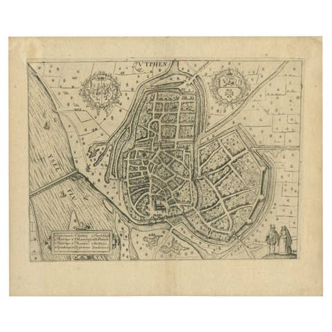
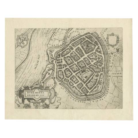
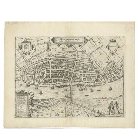
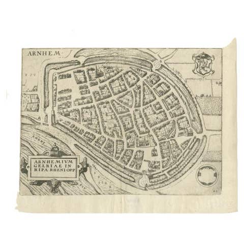
Antique map titled 'Hic est situs oppidi Grauiae (..)'. Bird's eye view plan of Grave, The Netherlands, Holland. Showing the siege of Grave in the year 1602. Source unknown, to be determined.
Artists and Engravers: Lodovico Guicciardini (19 August 1521 – 22 March 1589) was an Italian writer and merchant from Florence who lived primarily in Antwerp from 1542 or earlier. He was the nephew of historian and diplomat Francesco Guicciardini.
Condition: Very good, given age. Some browning but only visible in the margins and on verso. Original middle fold as issued. General age-related toning and/or occasional minor defects from handling. Please study image carefully. Date: c.1608 Overall size: 37.9 x 29.2 cm. Image size: 33.8 x 24.4 cm.
We sell original antique maps to collectors, historians, educators and interior decorators all over the world. Our collection includes a wide range of authentic antique maps from the 16th to the 20th centuries. Buying and collecting antique maps is a tradition that goes back hundreds of years. Antique maps have proved a richly rewarding investment over the past decade, thanks to a growing appreciation of their unique historical appeal. Today the decorative qualities of antique maps are widely recognized by interior designers who appreciate their beauty and design flexibility. Depending on the individual map, presentation, and context, a rare or antique map can be modern, traditional, abstract, figurative, serious or whimsical. We offer a wide range of authentic antique maps for any budget.