About this sheet
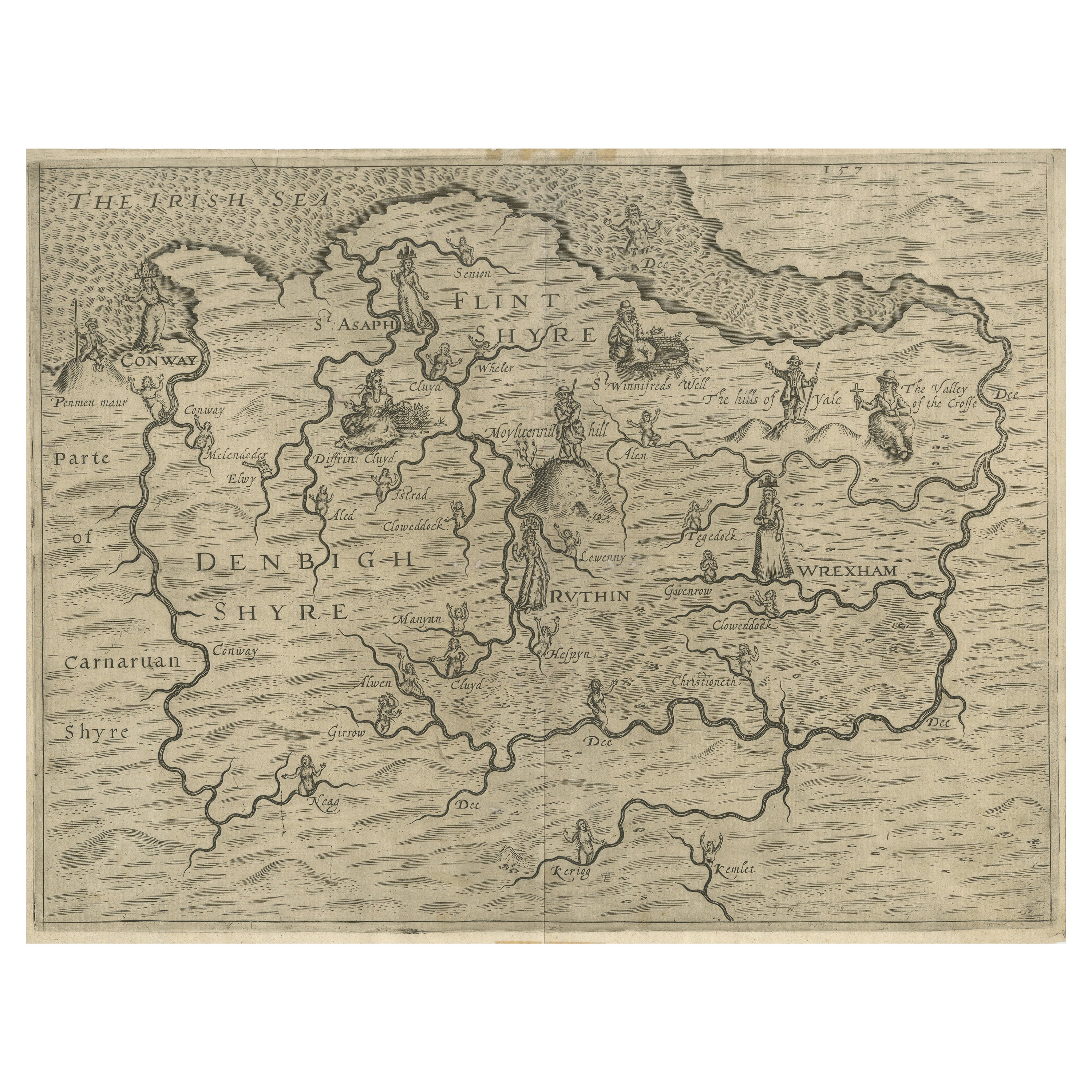
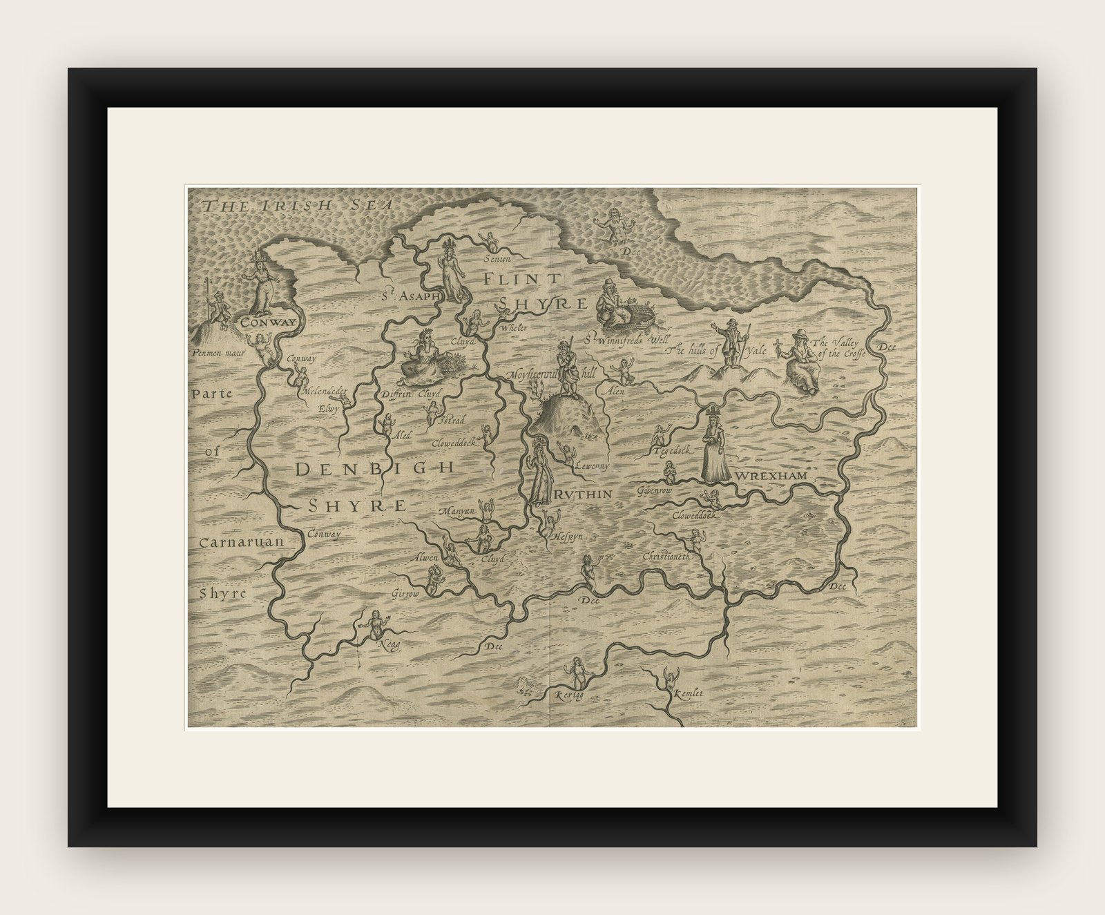
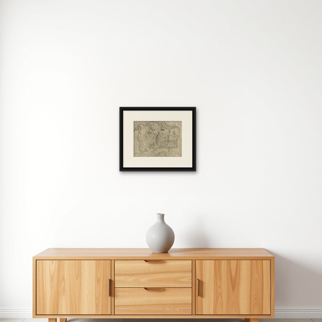
Denbighshire & Flintshire – Antique Map from Drayton’s Poly-Olbion, 1622
This rare and original antique map of Denbighshire and Flintshire in Wales originates from the celebrated Poly-Olbion, an extraordinary topographical poem and atlas composed by the English poet Michael Drayton, first published in 1622. Uniquely blending literature and cartography, Poly-Olbion aimed to describe every region of England and Wales in both poetic and visual form, resulting in one of the most distinctive and artistic mapping projects of the 17th century.
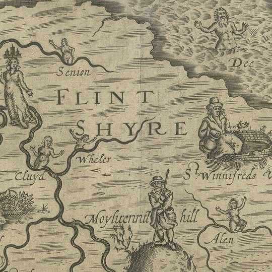
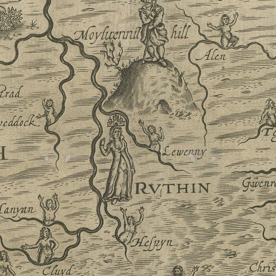
The map shows the two adjacent Welsh counties—Denbighshire and Flintshire—with stylized representations of hills, rivers, forests, and towns. Allegorical figures and natural features such as nymphs, shepherds, and river deities are illustrated across the landscape in imaginative poses, reflecting the poetic tone of Drayton's verses. Each map in the series was engraved by William Hole, who brought a unique artistic sensibility to the depiction of regional identity.
Of particular note is the whimsical aesthetic of the rivers and mountain ranges, which are personified or illustrated with poetic license rather than geographical precision. This creative cartographic approach makes the Poly-Olbion maps as much works of art and literature as they are tools for geographic understanding.
These maps are highly sought-after by collectors for their historical significance, rarity, and the fact that they bridge the worlds of poetry, art, and geography—an ambitious vision of national identity through landscape and myth.
Condition report: Fine impression with strong plate marks. Some minor age-related toning and faint spots in margins; no tears or repairs. Paper remains strong and well-preserved.
Framing tips: A dark wood frame (such as oak or walnut) paired with a deep cream or warm gray mat will enhance the antique tones and complement the engraved lines. Consider a double mat with a thin inner line in green or terracotta to reflect the Welsh landscape.