maps-prints.com
✦
Black Friday Sale
Friday 20 to Monday 30 November: up to 30% off original antique maps and prints
The terms
- Up to 30% off selected original antique maps and prints. Every piece is an original, printed in its own time; none is a reproduction.
- The sale runs from Friday 20 November to Monday 30 November. Sale prices shown here apply from Friday 20 November; until then pieces are sold at their regular price.
- Free FedEx shipping on qualifying orders placed on our own websites: USA, Canada, UK and Europe over $500 / €450; rest of the world over $750 / €675. Smaller orders pay our normal shipping rate.
- Orders placed from 15 to 30 November ship from 1 December, in time for Christmas. Our shipping partner is InXpress.
- Each piece is unique, so the sale is while stock lasts.
Collection:AllAmericanSea chartsMilitaryNatural historyFashionArchitectureBotanicalSacredEast Indies
Sale prices apply from Friday 20 November. Save the pieces you like with the heart and come back on Friday.
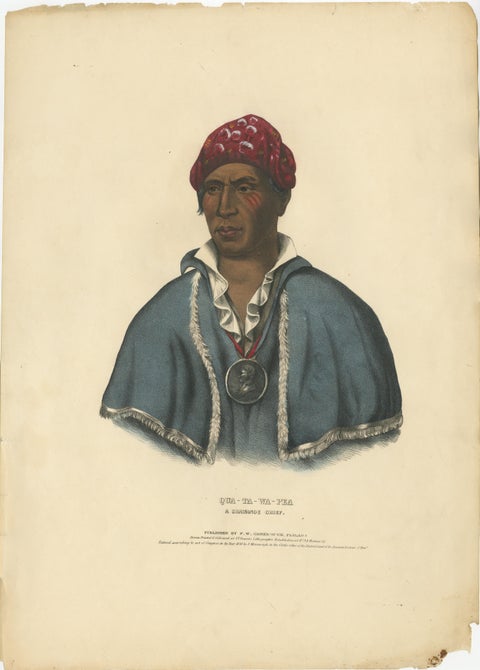 Large Hand-Colored Antique Print of Qua-Ta-Wa-Pea, a Shawnee Chief, circa 1838
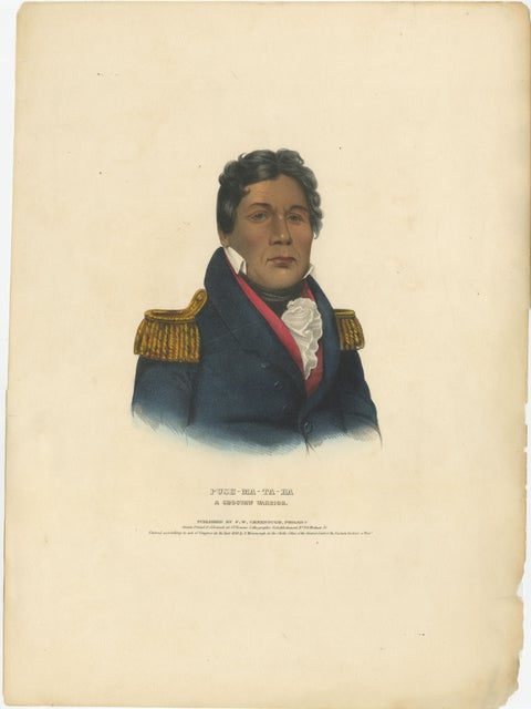 Large Antique Print of Push-Ma-Ta-Ha, a Choctaw Warrior, circa 1838
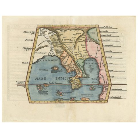 Map of India and Southeast Asia from Ptolemaic Geography – 16th Century Woodcut
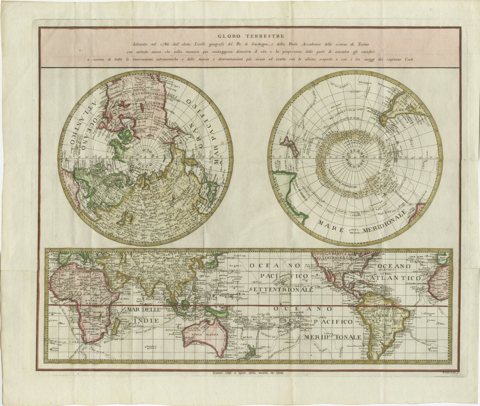 Old World Map Featuring Captain Cook's Exploration Routes and Polar Views, 1787
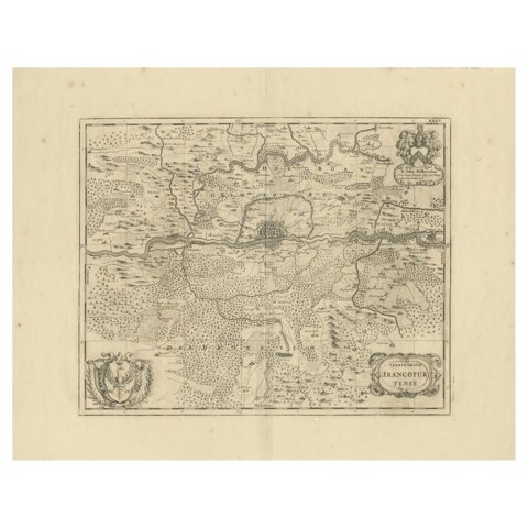 Moses Pitt's 17th-Century Map of Frankfurt, Circa 1690
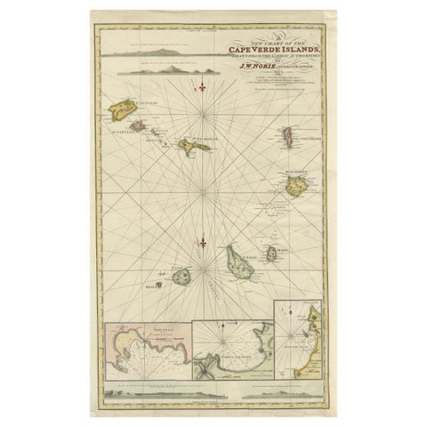 Nautical Chart of Cape Verde Islands by J.W. Norie, 1824 Coastal Map
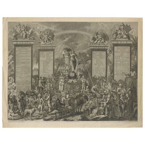 Allegorical Engraving of Four Continents, 1798: Ethnographic Art
 Original 1964 Gouache by Charles Burki – Dramatic Bear Attack Book Cover Art
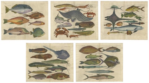 Exotic Fish Prints - Set of Five Hand-Colored Engravings by John Nieuhoff, c1704
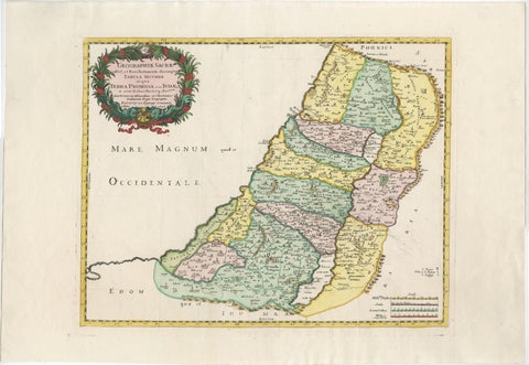 Holy Land Map of the Twelve Tribes of Israel – Sanson, Hand Colored, 1696
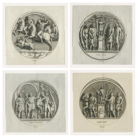 Grand Roman Relief Engravings after Antique Sculpture – Montfaucon 1721
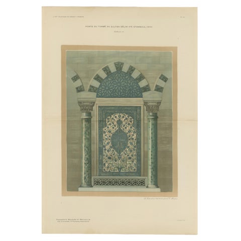 Antique Ottoman Iznik Tile Panel Print, Tomb of Sultan Selim II, Istanbul, 1924
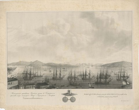 Russian Fleet in the Bosphorus under Vice Admiral Lazarev, circa 1833
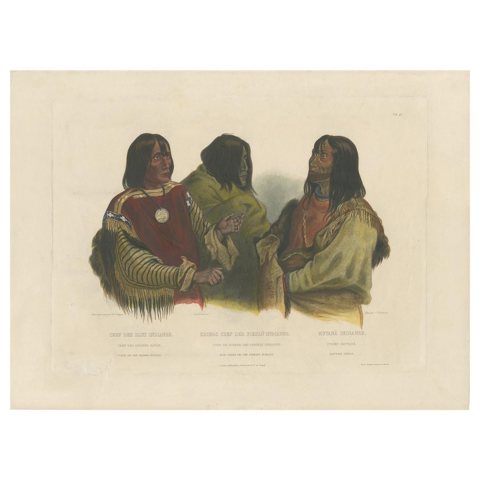 Antique Print of Two Blackfoot Chiefs and a Kutenai Leader Made after Bodmer
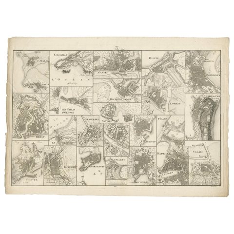 Antique Map of Various Ports in France by Röder 'circa 1800'
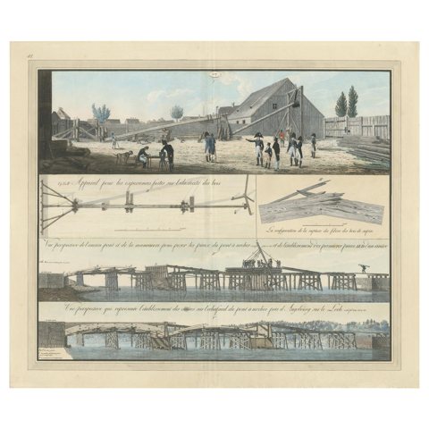 Antique Print of Various Bridge Constructions in the Napoleonic Era 'c.1810'
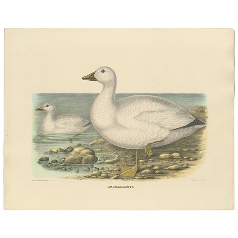 Original Rare Old Bird Print Depicting Cassin's Snow Goose 'Anser Albatus', 1869
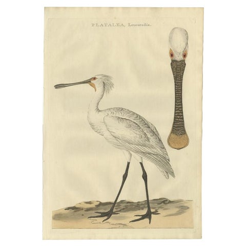 Life-Sized Spoonbill Print – Dutch Ornithology by Sepp and Nozeman, 1789
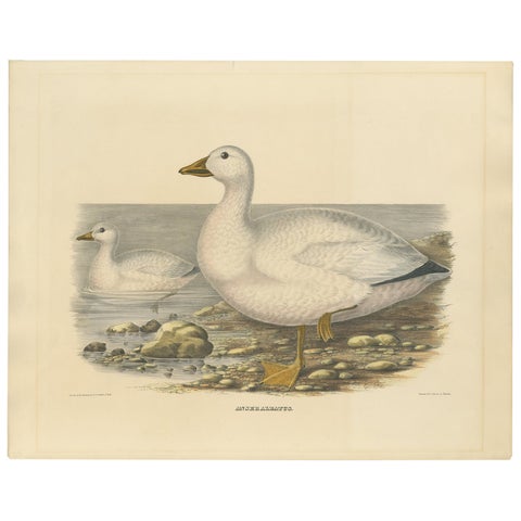 Large Rare Old Bird Print Depicting Cassin's Snow Goose, 1869
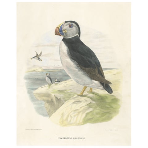 Spectacular Rare Large Antique Bird Print of The Large-Bill Puffin, 1868
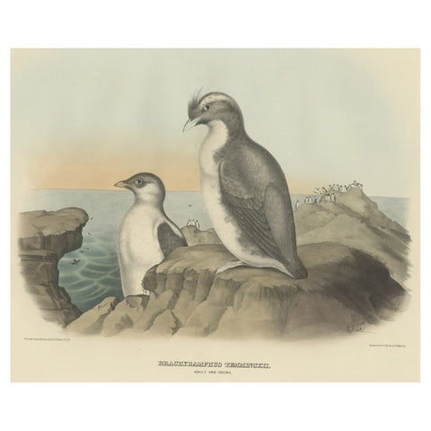 Spectacular Antique Bird Print of an Adult and Young Temminck's Auk, 1869
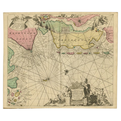 Rare Sea Chart of the East Frisian Islands or Watten and the North Sea, c.1700
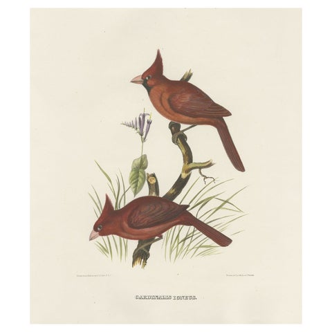 Large Old Hand-Colored Print of Northern Cardinals from Northern America, 1869
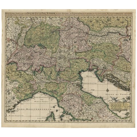 Finely Detailed Map Covering Northern Italy, Austria, Slovenia & Croatia, c.1690
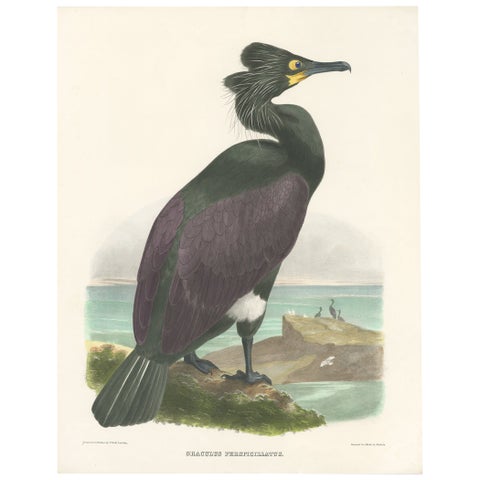 Spectacular Rare Old Original Bird Print of The Spectacled Cormorant, 1868
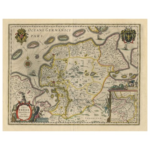 Map of East Friesland, The Netherlands & the Area Emden & Norden, Germany, 1635
 Two Black-Necked Grebes Rare Large Antique Bird Print, 1869
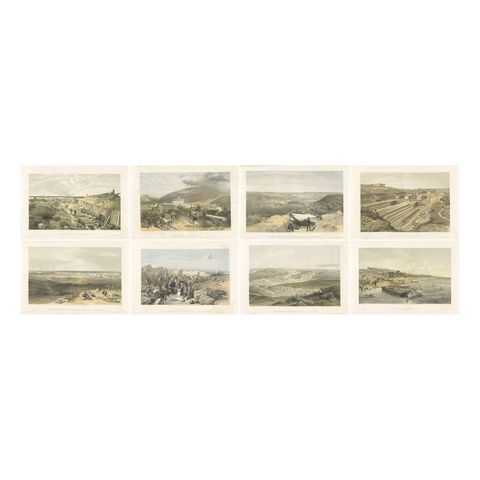 Crimean War Lithograph Collection: Eight Views of Sevastopol Surroundings, 1855
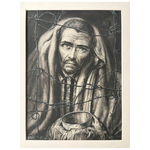 The Prisoner – Original Illustration by Charles Burki, 1965
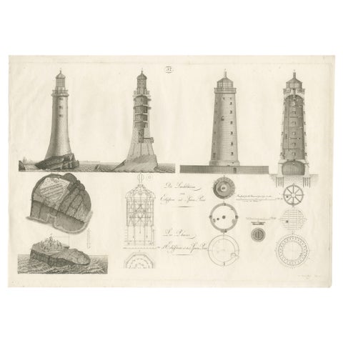 Lighthouse Architecture & Engineering Engravings, Set of 3, c. 1800
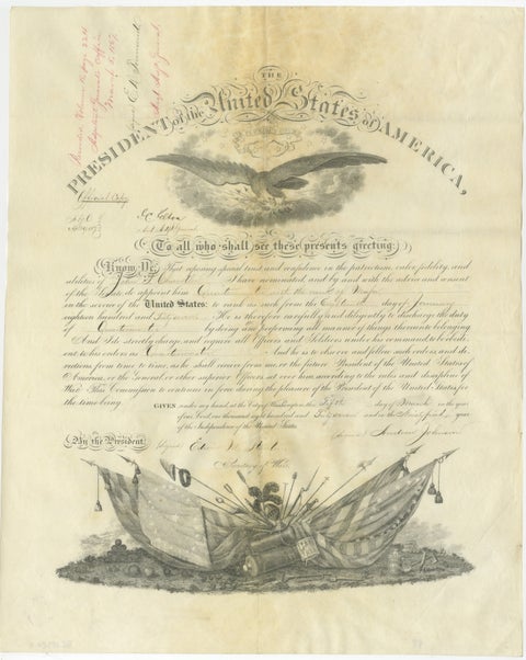 Andrew Johnson Military Commission 1867 – Quartermaster Appointment Civil War
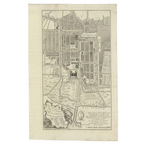 Antique Plan of Batavia, Nowadays Jakarta, Indonesia, 1780
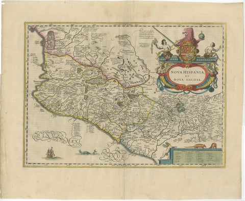 Antique Map of Southern Mexico & New Galicia, Janssonius, Amsterdam c.1650
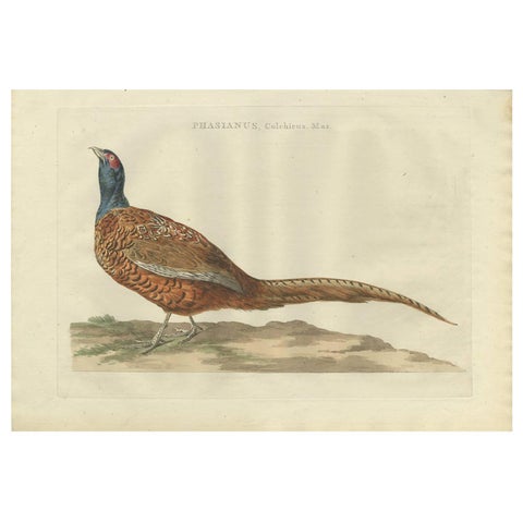 Antique Bird Print of the Common Pheasant 'Male' by Sepp & Nozeman, 1789
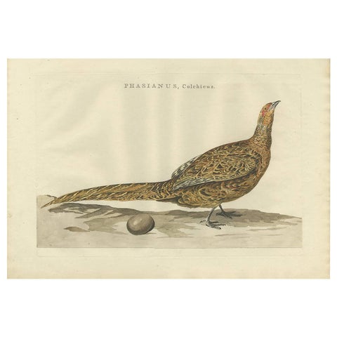 Antique Bird Print of the Common Pheasant by Sepp & Nozeman, 1789
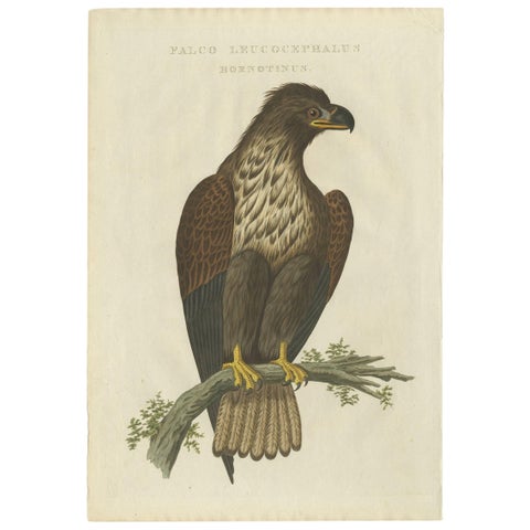 White-Tailed Eagle – Falco Leucocephalus Hornotinus – Antique Bird Print c.1829
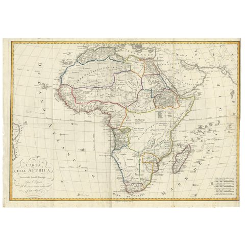 Antique Map of Africa by Bordiga Fratelli 'circa 1818'
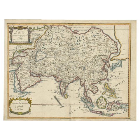 Antique Duval Map of East Asia with China, Japan, Korea and the Great Wall, 1663
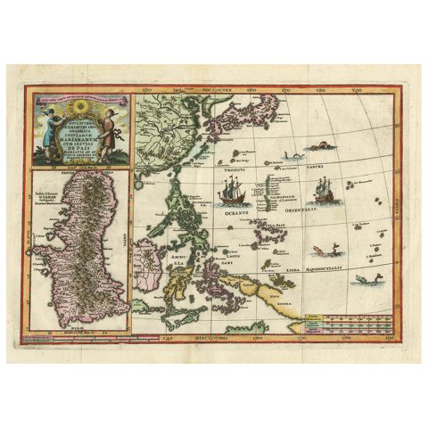 Antique Map of the Philippines and Guam by Scherer, circa 1702
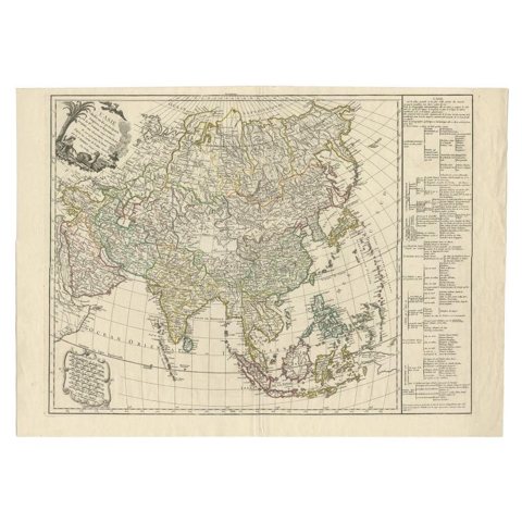 Antique Map of Asia with Additional Country Information, c. 1749
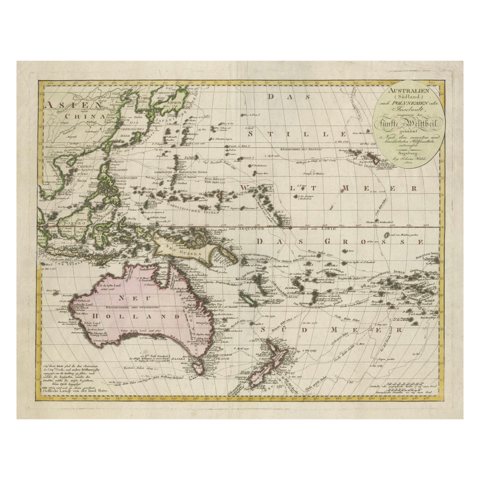 1802 Map of Australasia and the South Pacific - European Exploration Routes
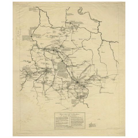 Napoleonic Wars: Germany Allied Military Campaign Map by Ausfeld, 1814
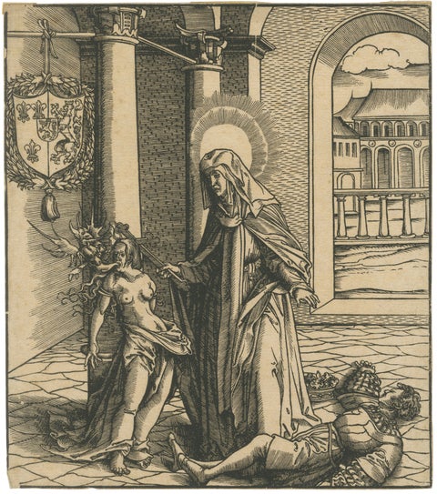 Saint Radegonde Exorcising a Demon – Burgkmair Circle, c.1516 Woodcut
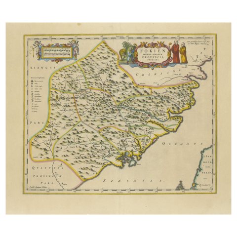 Original 17th-Century Antique Map of Fujian (Fokien) Province, China – by Blaeu
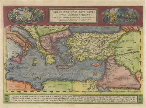 The Travels of Saint Paul, Antique Map by Abraham Ortelius, circa 1590
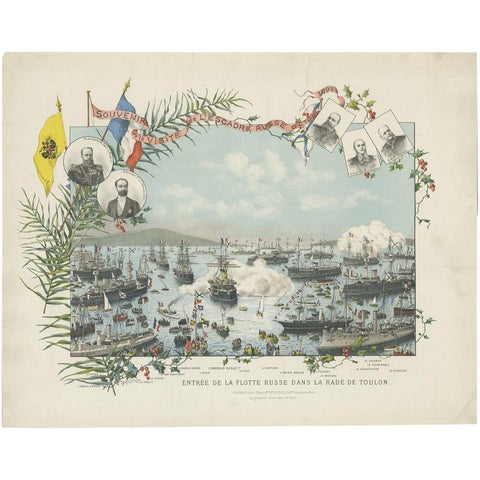 Naval lithograph of Russian fleet arriving in Toulon, France, in 1893
 Print of a Religious Fresco or Decorative Pilaster by Ottoviani, 'circa 1775'
 Vintage Botany Wall Chart of a Cotton Plant and Cotton Cultivation, circa 1960
Sharing the sale? Download the Black Friday banners.