About this sheet
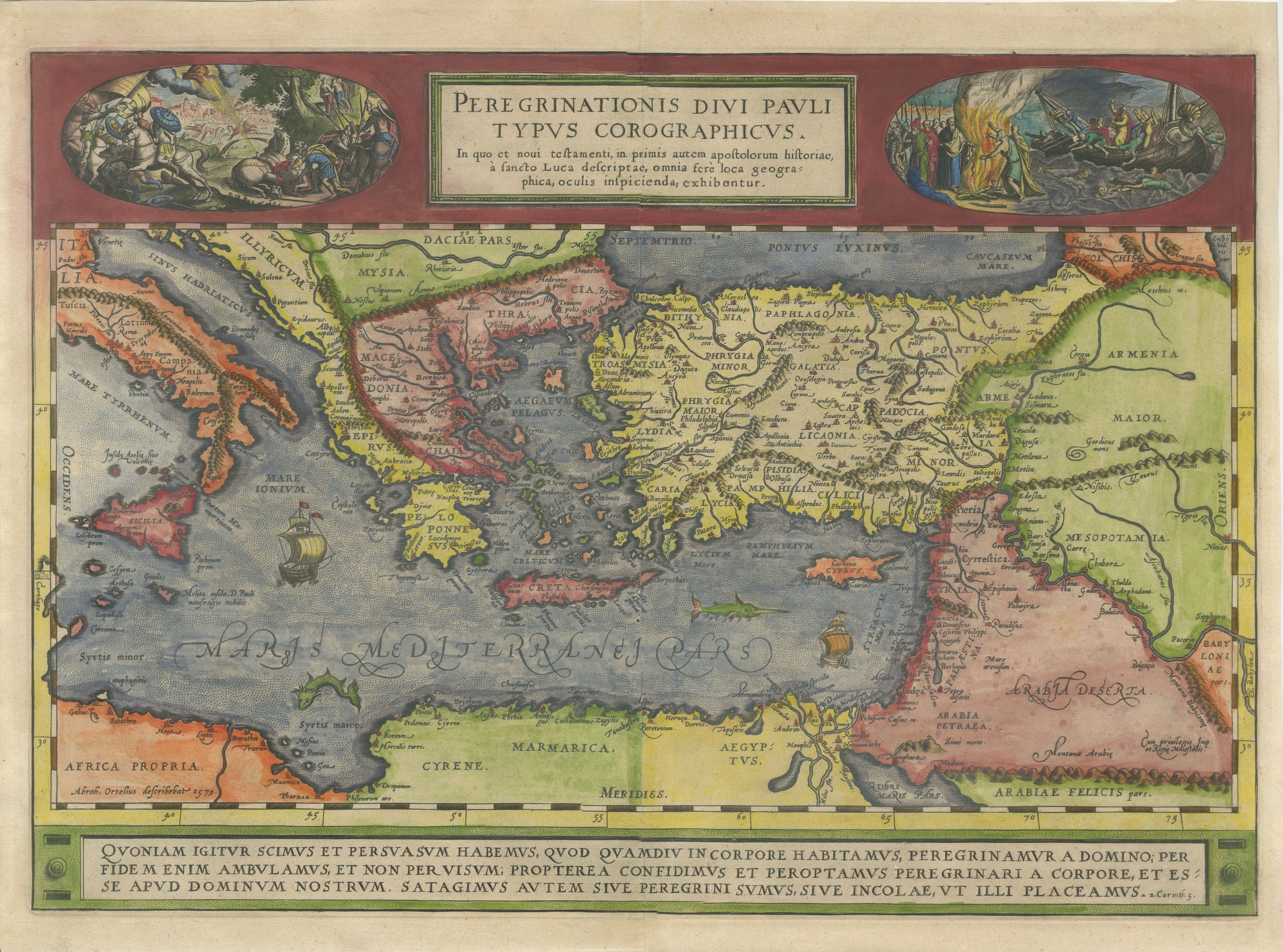
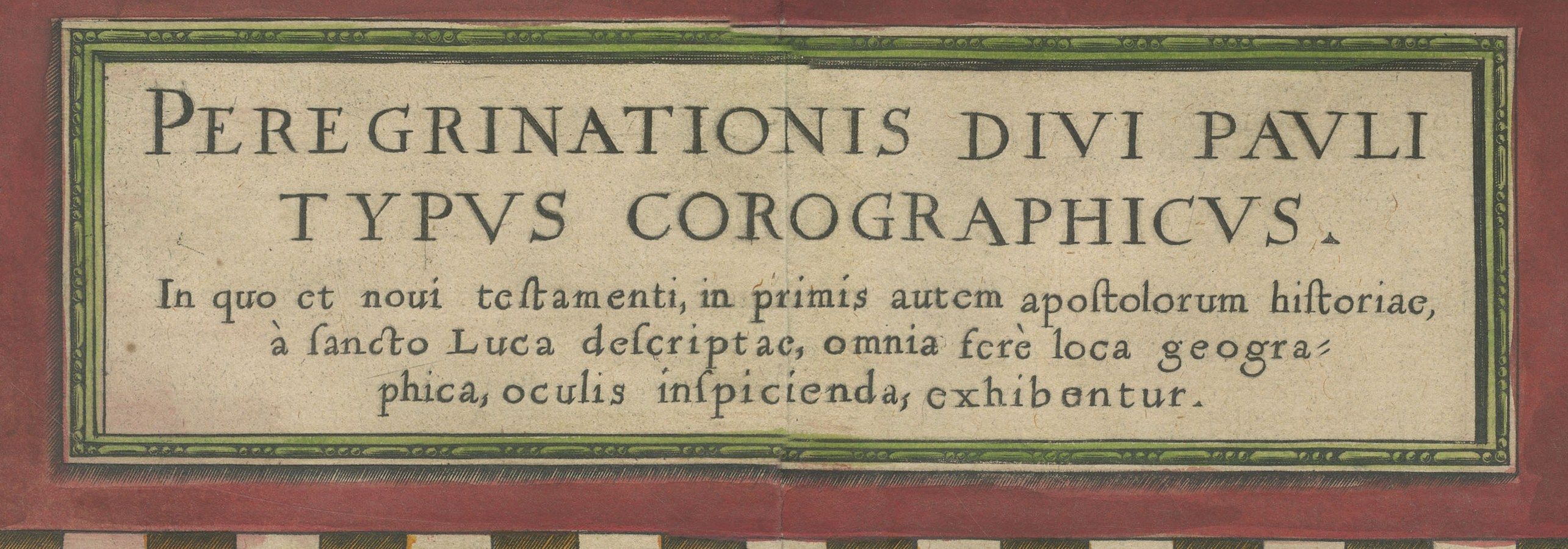
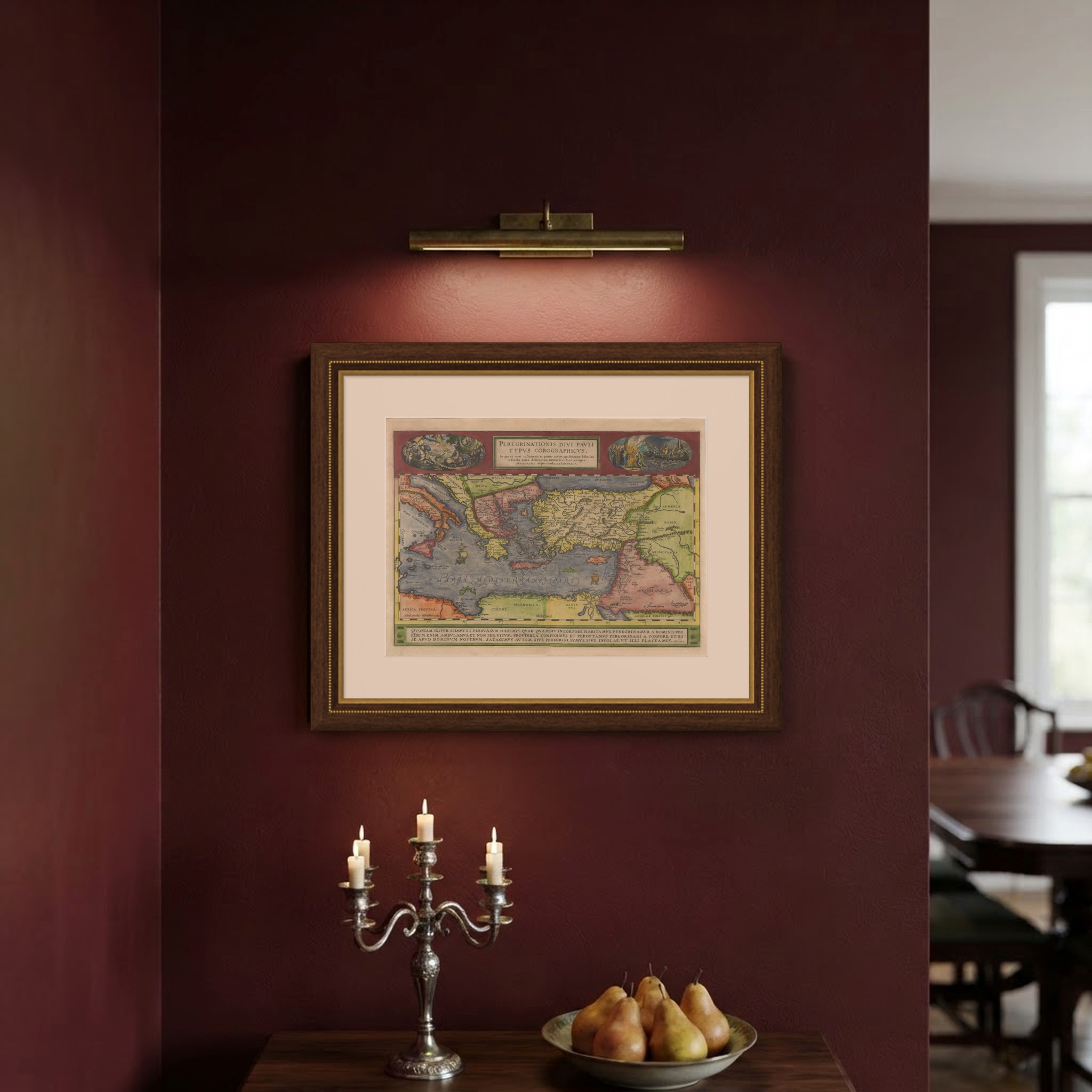
An original antique copper engraved map with original hand color, circa 1590, from a plate dated 1579. The title panel at the top is lettered "PEREGRINATIONIS DIVI PAVLI TYPVS COROGRAPHICVS", chorographic map of the journeys of Saint Paul, followed by "In quo et noui testamenti, in primis autem apostolorum historiae, à sancto Luca descriptae, omnia ferè loca geographica, oculis inspicienda, exhibentur", in which nearly all the places of the New Testament, above all of the Acts of the Apostles written by Saint Luke, are shown to the eye.
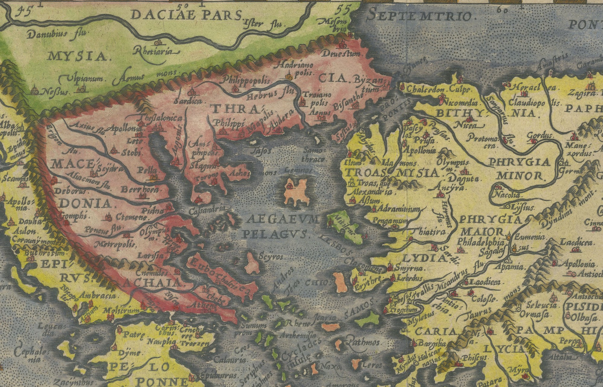
The map runs from Italy and Sicily across Greece, the Aegean and Asia Minor to Armenia, Mesopotamia and Arabia, with Egypt and Cyrene along the lower edge. The provinces are washed in red, yellow, green and blue, and the classical names are given throughout: Macedonia, Thracia, Bithynia, Galatia, Cappadocia, Lycaonia, Cilicia, Syria and Arabia Deserta among them. Ships sail the sea, which is lettered "MARIS MEDITERRANEI PARS", and Malta is marked "Melita insula, D. Pauli naufragio nobilis", the island of Melita, famous for the shipwreck of Saint Paul.
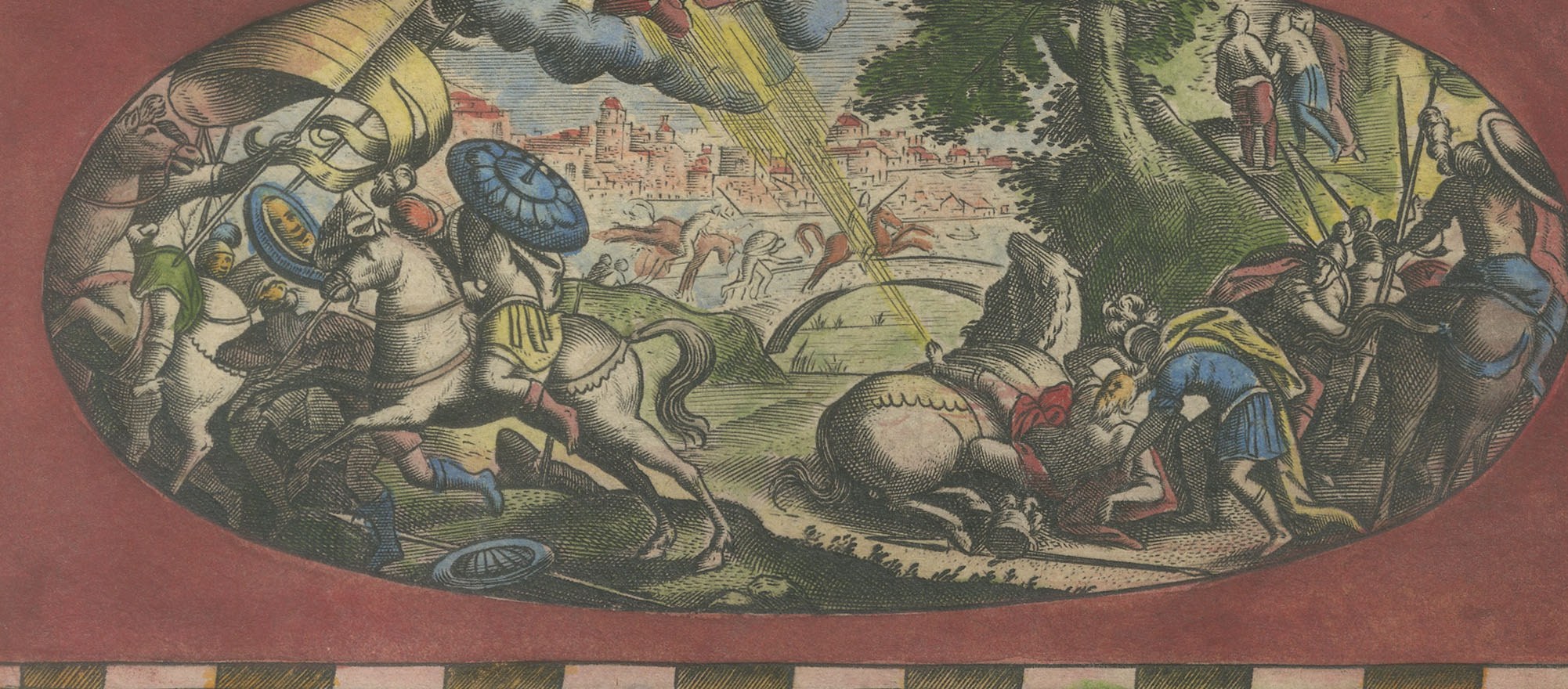
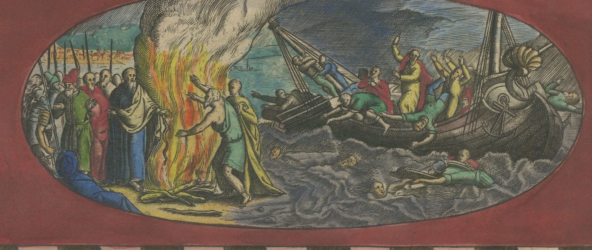
Two oval vignettes flank the title. The left shows the conversion of Saul on the road to Damascus, a rider thrown from his horse under rays of light from the clouds, with the city behind. The right shows the shipwreck on Malta, with Paul beside a great fire on the shore and the wreck and swimmers in the sea. Across the foot runs a panel with the Latin text of 2 Corinthians 5 on living as pilgrims away from the Lord.
Lower left is the credit "Abrah. Ortelius describebat 1579." and lower right "Cum privilegio Imp. et Regię Maiestatis." The map was first published in the Latin Additamentum II of 1579 and belongs to the Parergon, the historical section of the Theatrum Orbis Terrarum (Van den Broecke 181). The plate is dated 1579 and was printed in an edition of the Theatrum from 1579 onward; the edition of this impression is not determined.
Light uneven toning, browner towards the edges. A few small foxing spots in the margin. All four corners complete. Folding line as issued.
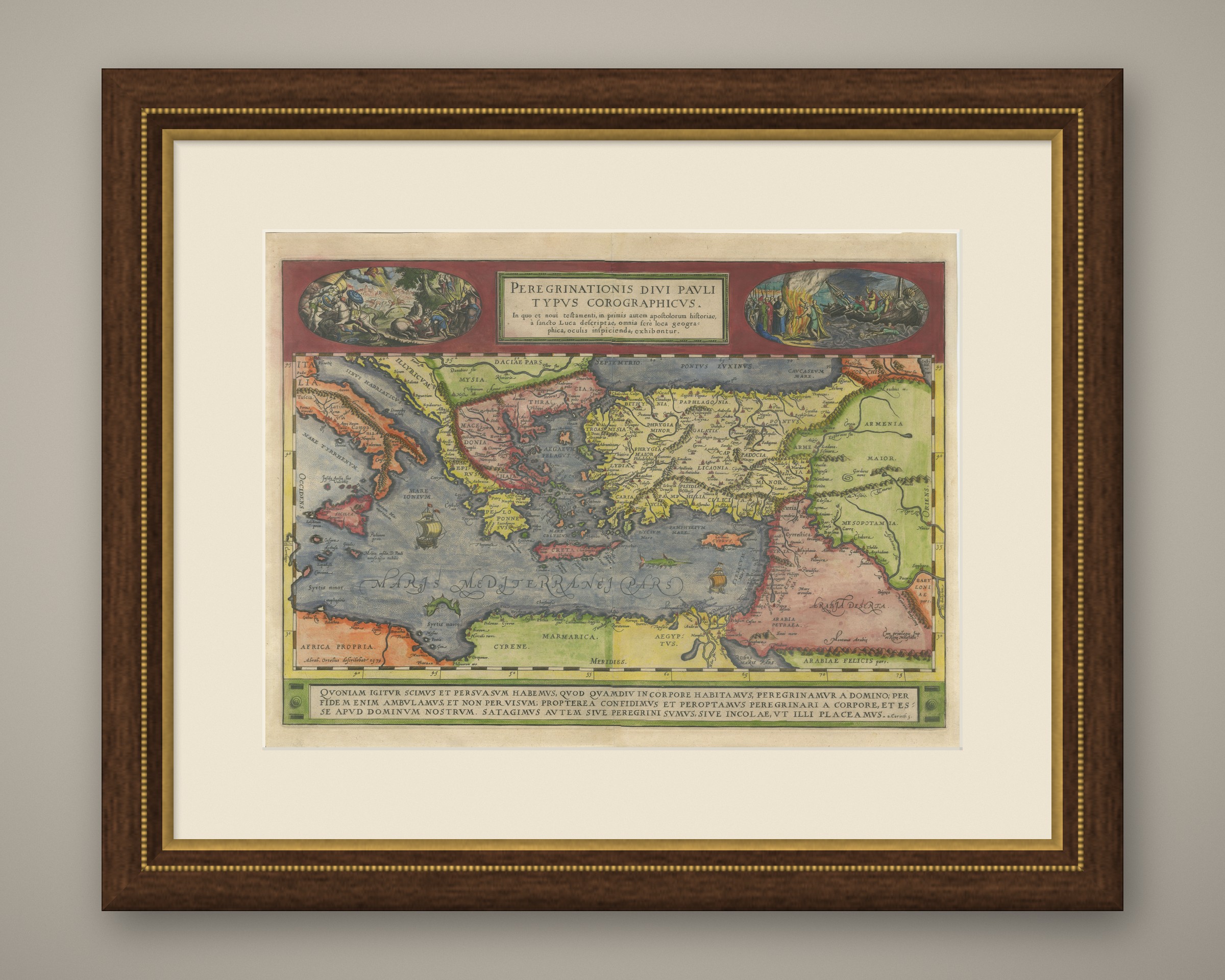
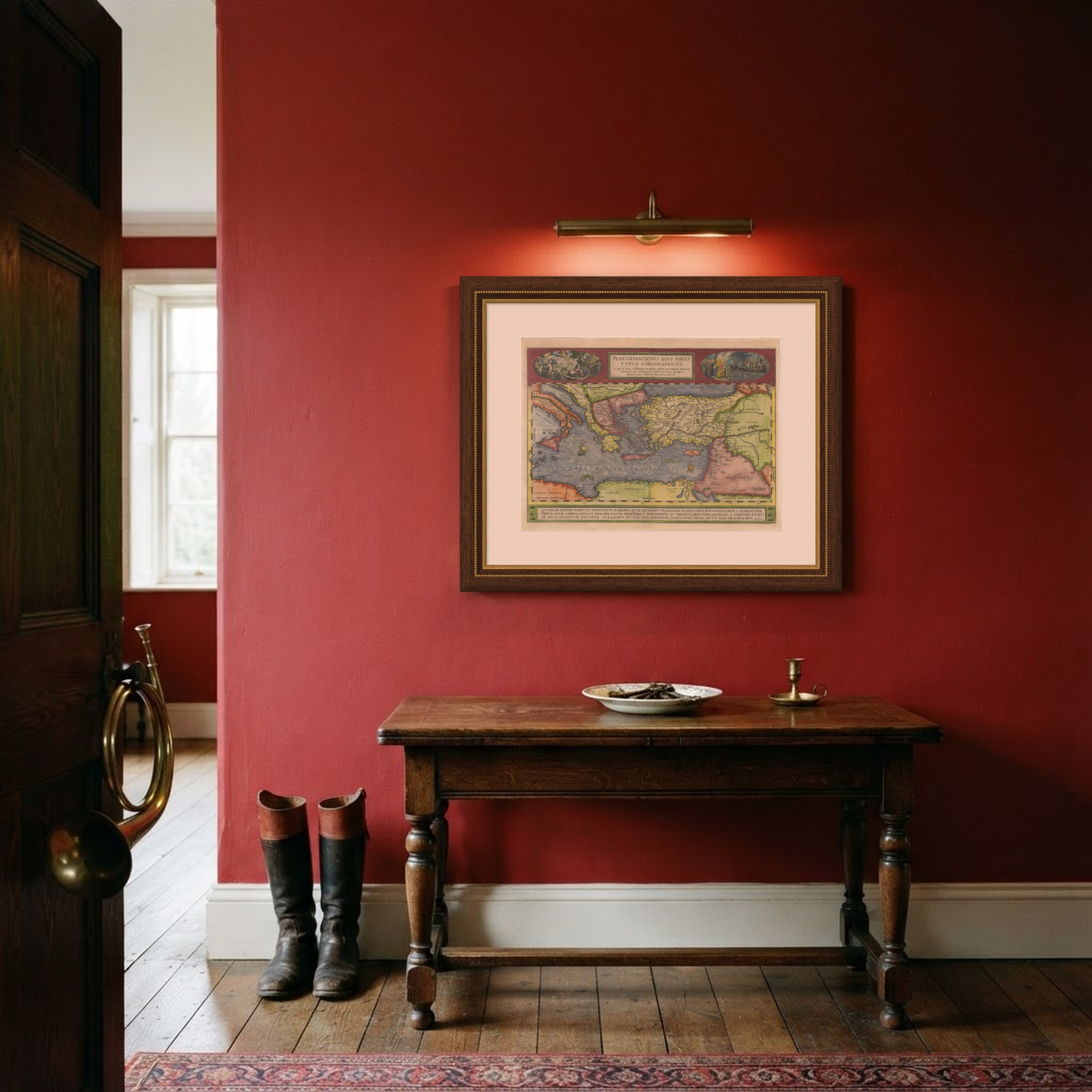
This is an original antique map, not a modern reproduction. This item is sold unframed. Any framed or interior images are shown for presentation and inspiration only, unless the listing explicitly states that the item is sold framed.