Nautical Chart of Cape Verde Islands by J.W. Norie, 1824 Coastal Map
€ 1 900
One of a kind: this is the sheet in the photographs. Ships from Langweer, the Netherlands.
Date
1824
Sheet size
72 × 44.5 cm (28.3 × 17.5 in)
Condition
Good
Reference
BG-13730-1
Condition
Replacements made: Right border has been professionally replaced top to bottom on the platemark line. Good condition for its age. Minor age toning. On the edges some small tears and creases, mostly only touching the plate-mark. Right border has been re-inforced and repaired professionally. Paper
About this sheet
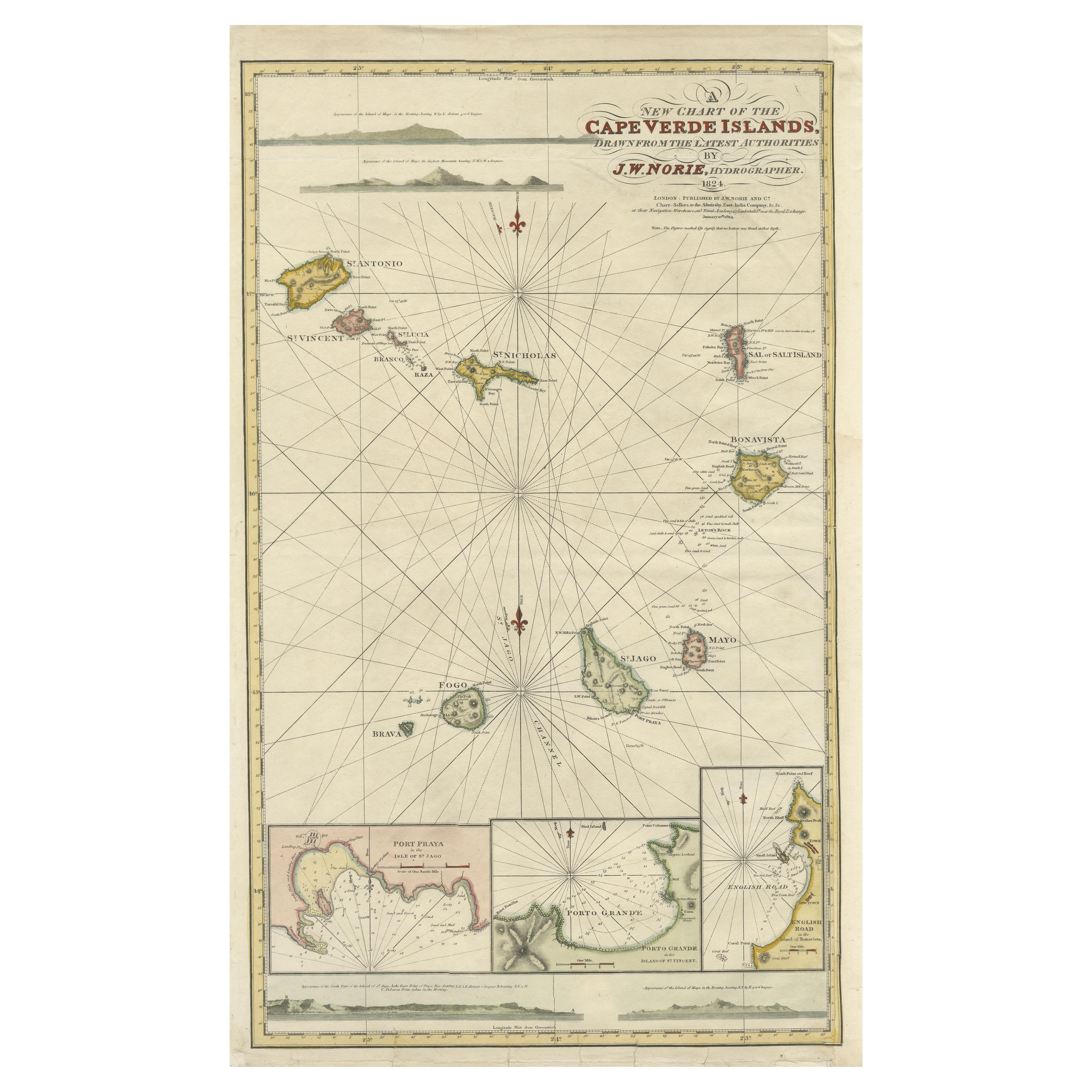
Nautical Chart of Cape Verde Islands by J.W. Norie, 1824 Coastal Map
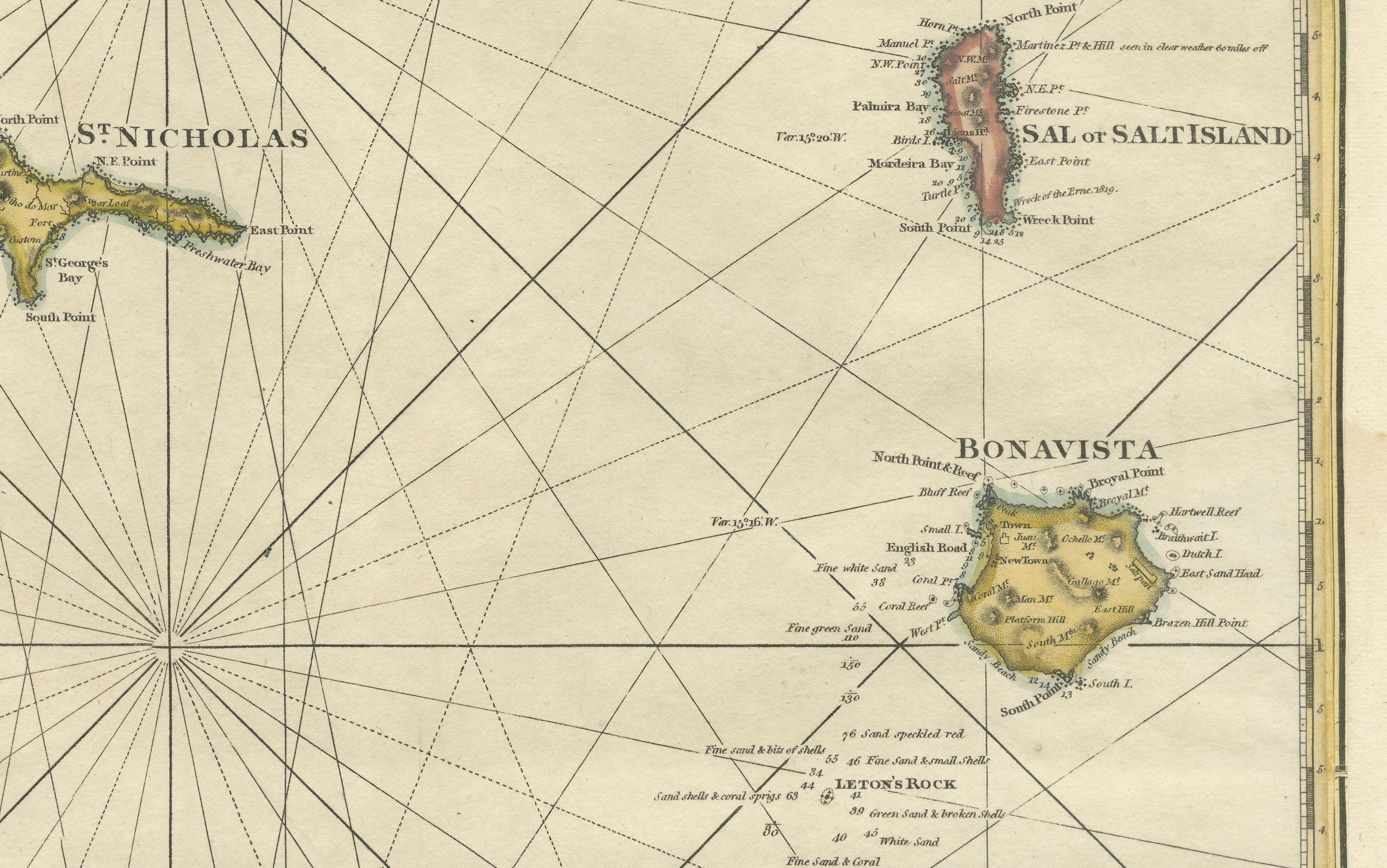
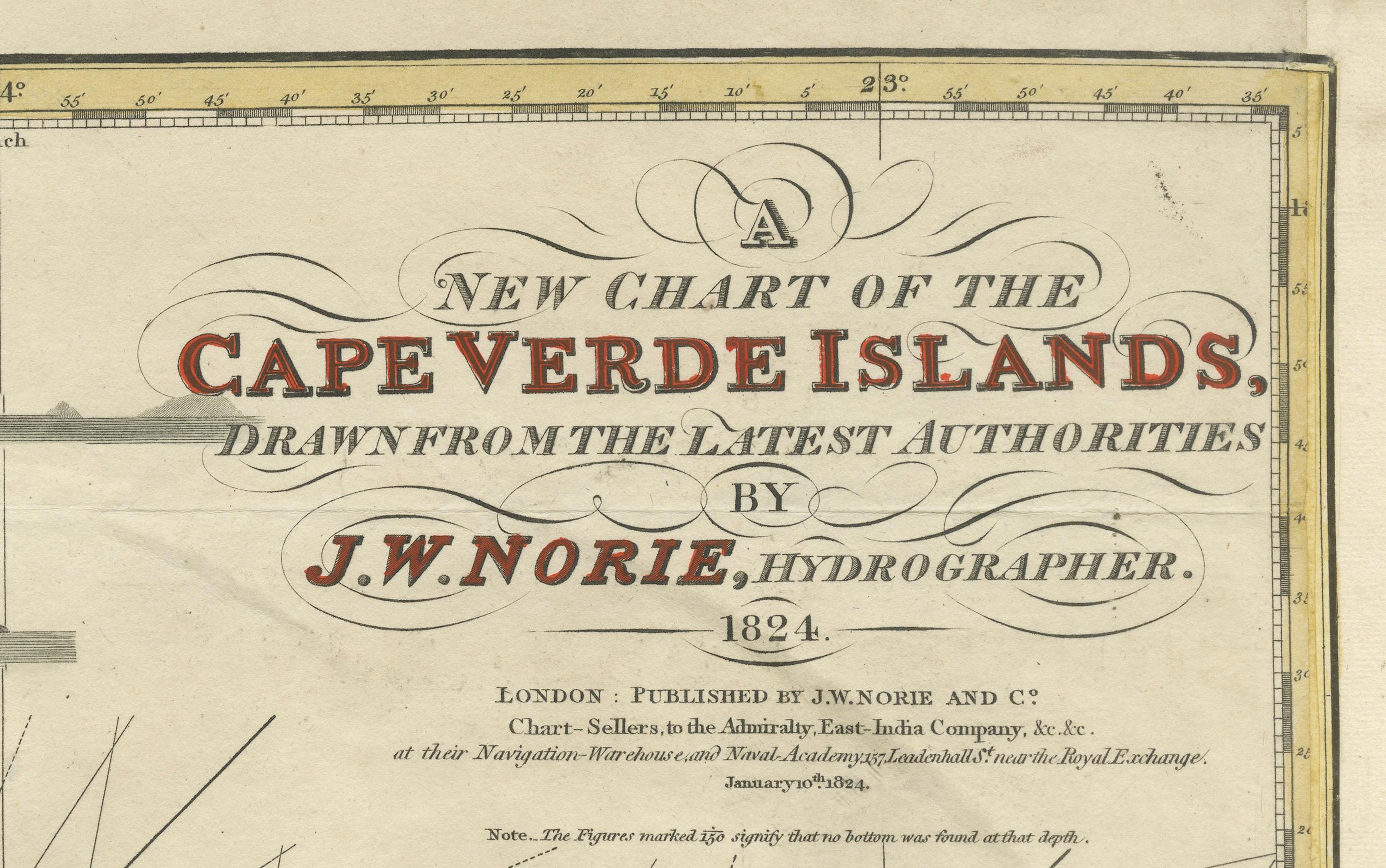
This beautifully engraved nautical chart, titled “A New Chart of the Cape Verde Islands,” was drawn by J.W. Norie and published in 1824 by J.W. Norie and Co., renowned hydrographers based in London. The map presents the Cape Verde archipelago off the west coast of Africa in exquisite detail, compiled from the latest navigational data available at the time. Norie, one of the foremost British cartographers and nautical publishers of the early 19th century, was known for his precise and practical charts used by mariners during the height of British naval power and global trade expansion.
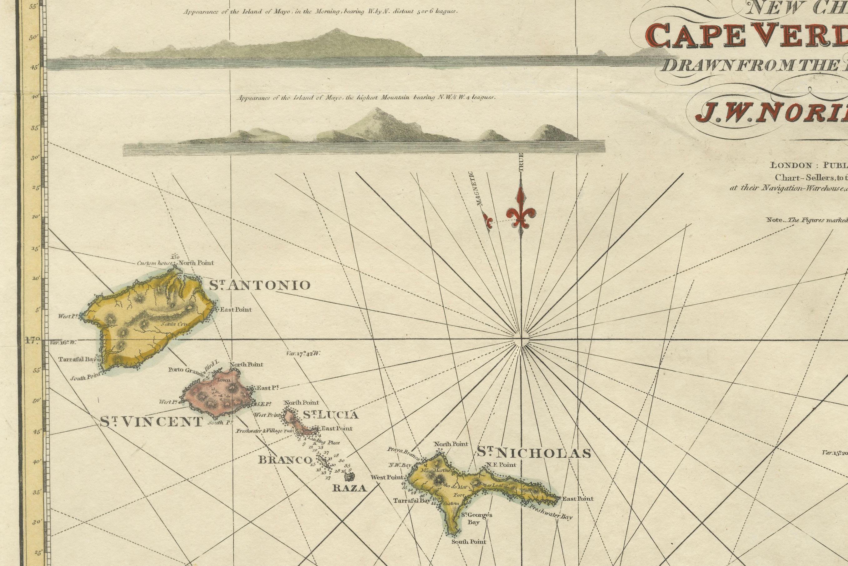
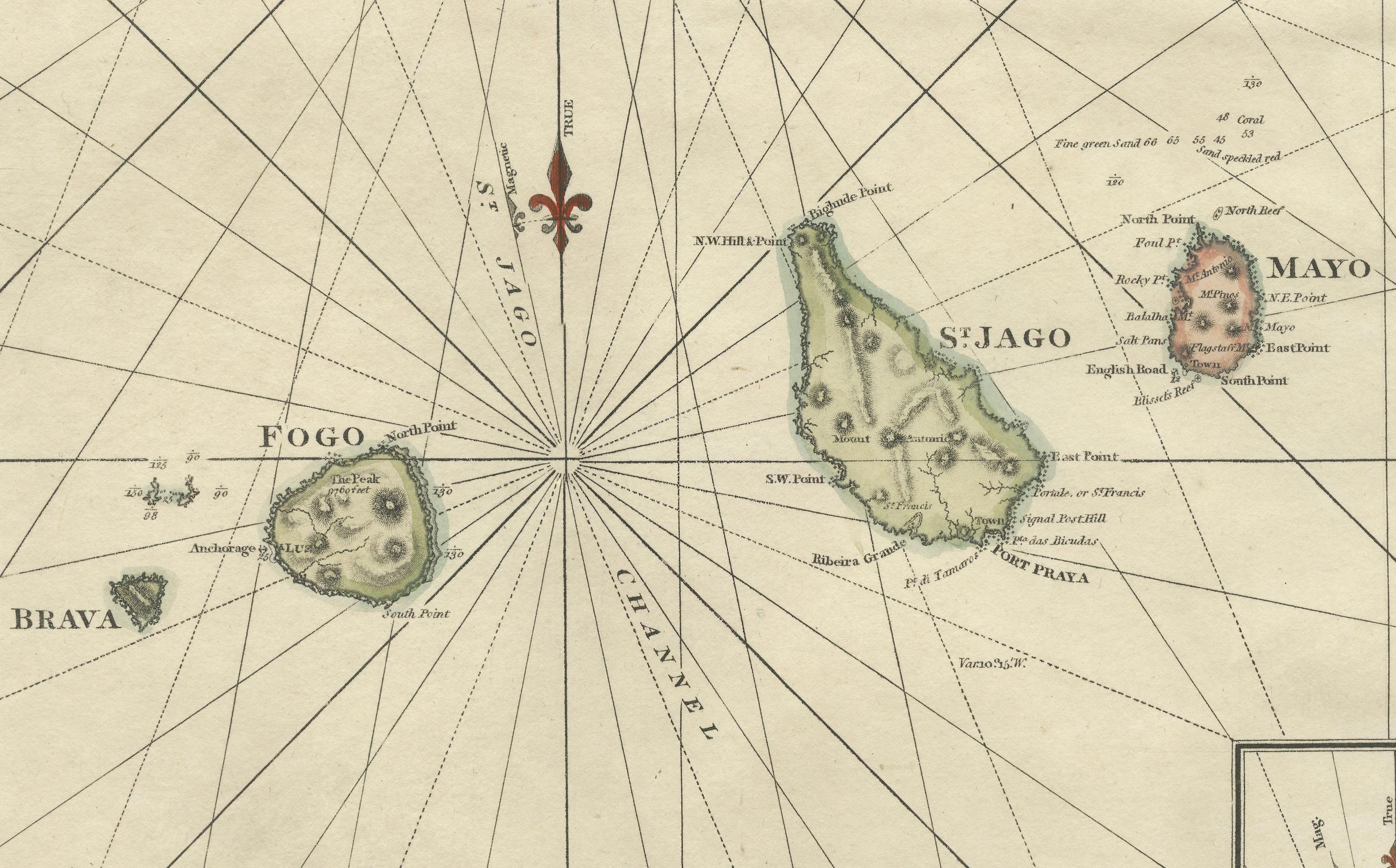
The central focus of the map is the group of islands including St. Antonio, St. Vincent, Brava, Fogo, St. Nicholas, St. Jago, Sal, and Bonavista. Each island is carefully outlined and hand-colored, showing coastal features, safe anchorages, and key towns or ports. Radiating compass lines connect the islands, offering navigational bearings that would have been crucial for 19th-century seafarers.
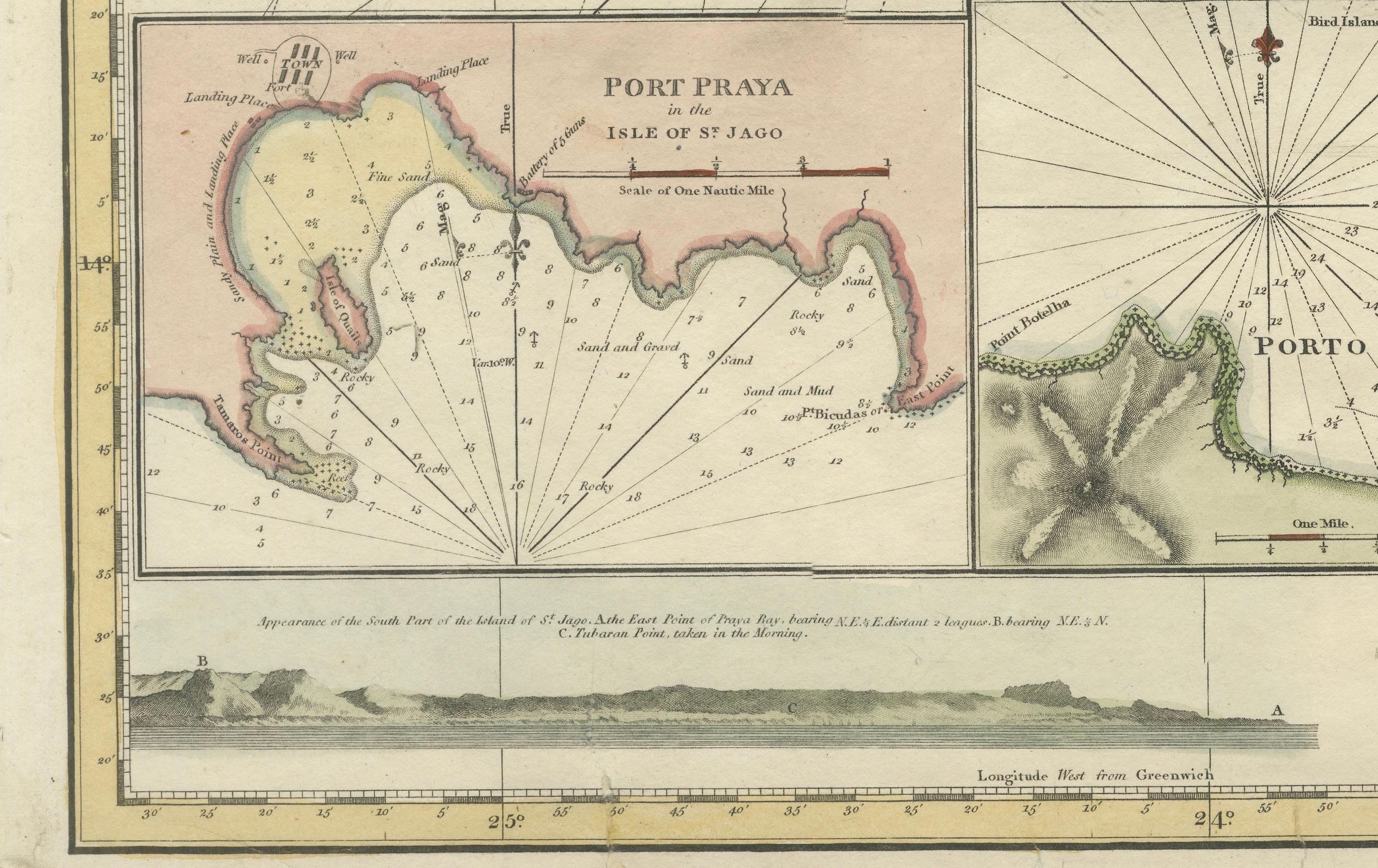
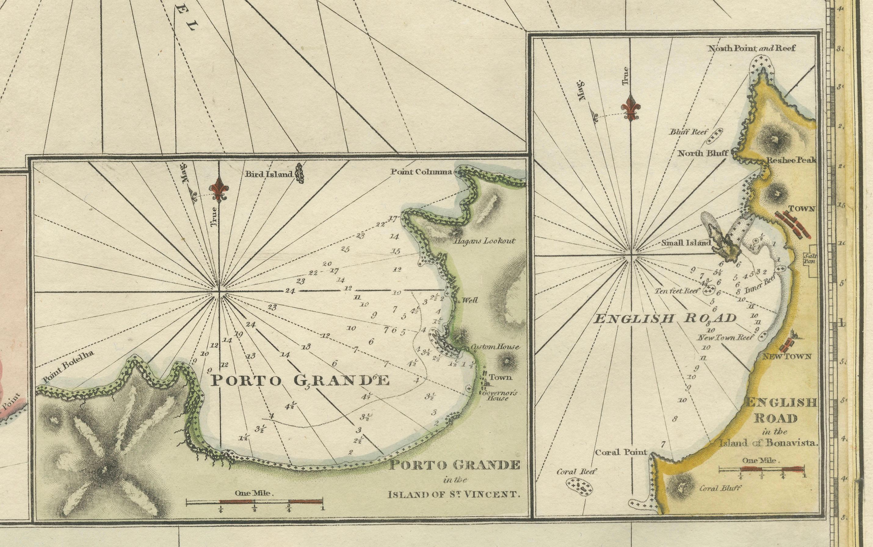
In addition to the main chart, three inset maps provide detailed views of Port Praya (Isle of St. Jago), Porto Grande (Island of St. Vincent), and English Road (Island of Mayo), with soundings and anchoring details noted. The chart also features coastal profile views—silhouettes of the islands as seen from sea—helping mariners recognize landfalls visually.
Printed on fine paper and delicately hand-colored, this chart exemplifies the intersection of utility and artistry in maritime cartography. Norie’s charts were not only tools of navigation but also reflections of geopolitical importance and expanding trade networks during the early 1800s.
Condition Report: Good condition for its age. Minor age toning. On the edges some short tears and creases, mostly only touching the plate-mark. Right border has been re-inforced and repaired professionally. Paper remains strong, and hand coloring is vivid and original.
Tips for Framing: Use a classic black or gold-leaf frame with a light cream or ivory mat to highlight the marine details and fine linework. A larger mat border gives space to appreciate the map’s insets and decorative features. Use UV-protective glass to preserve color.