About this sheet
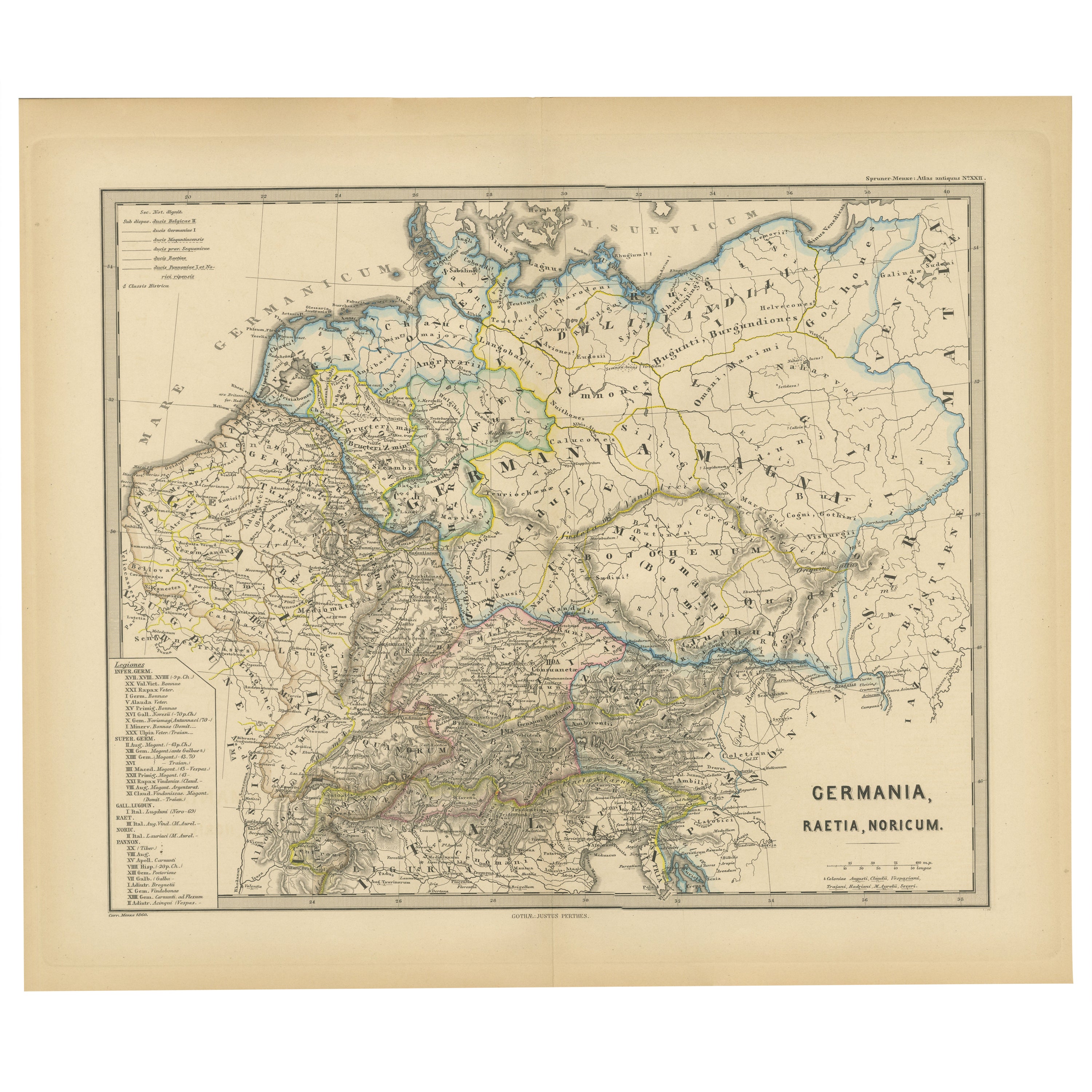
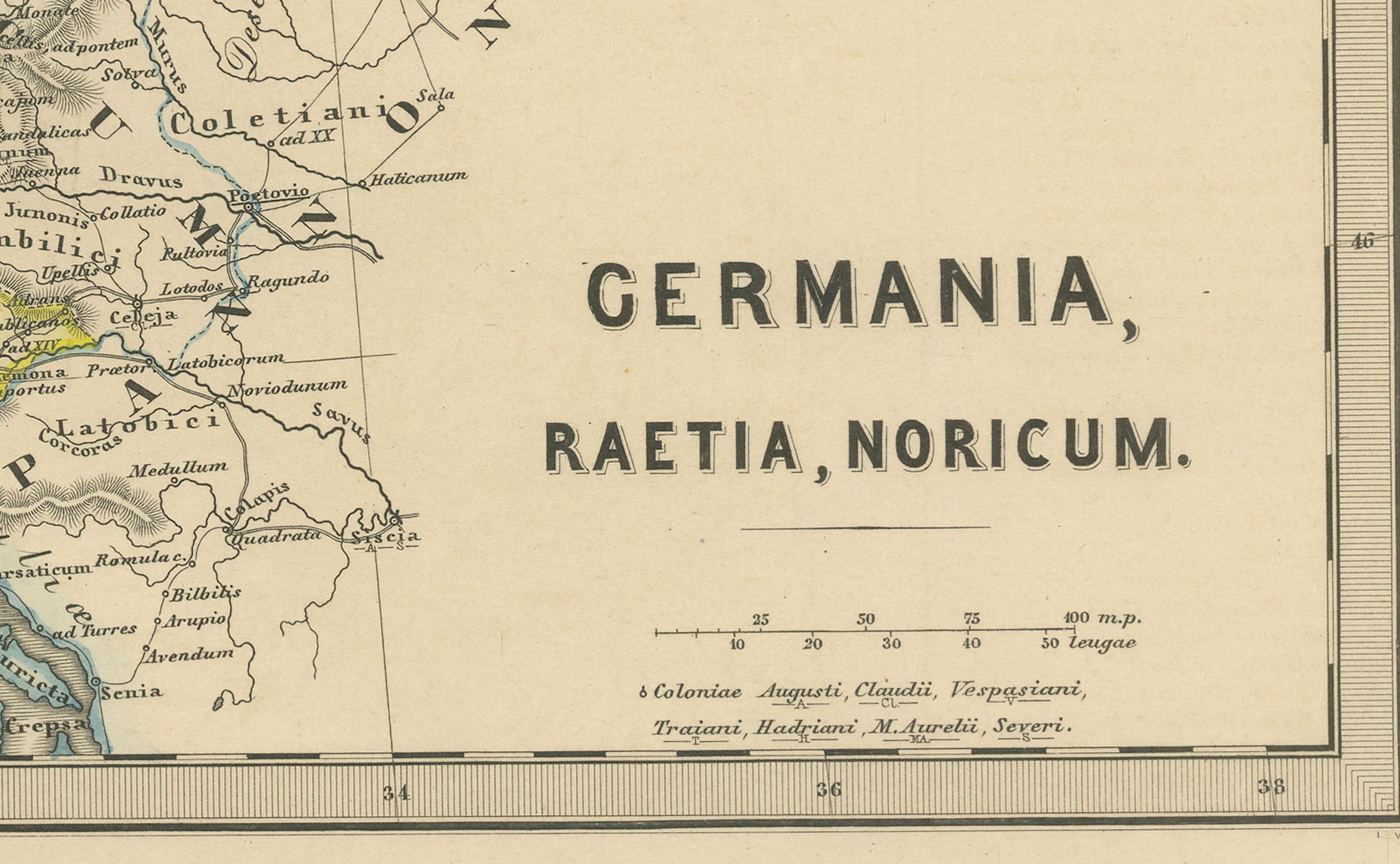
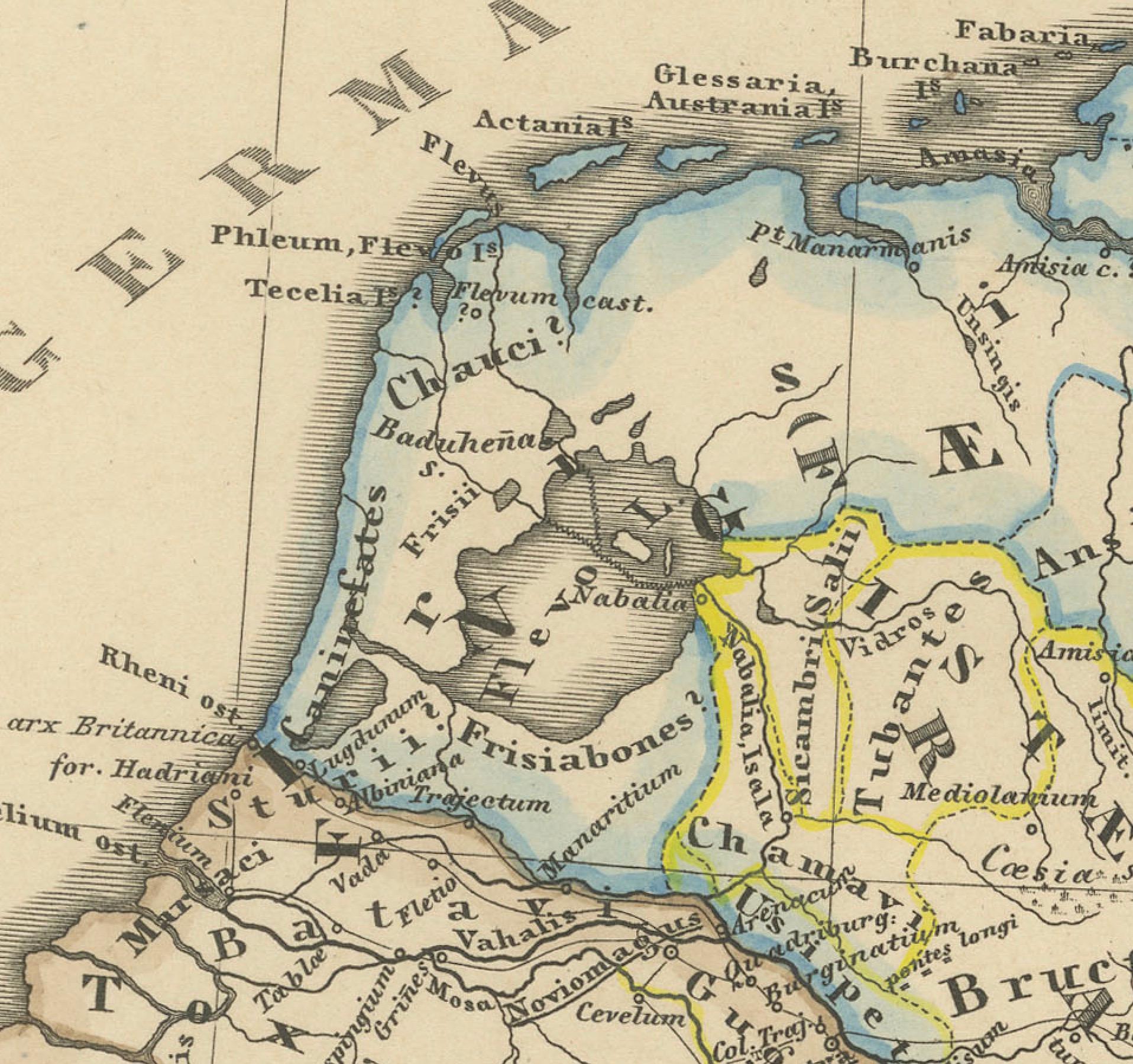
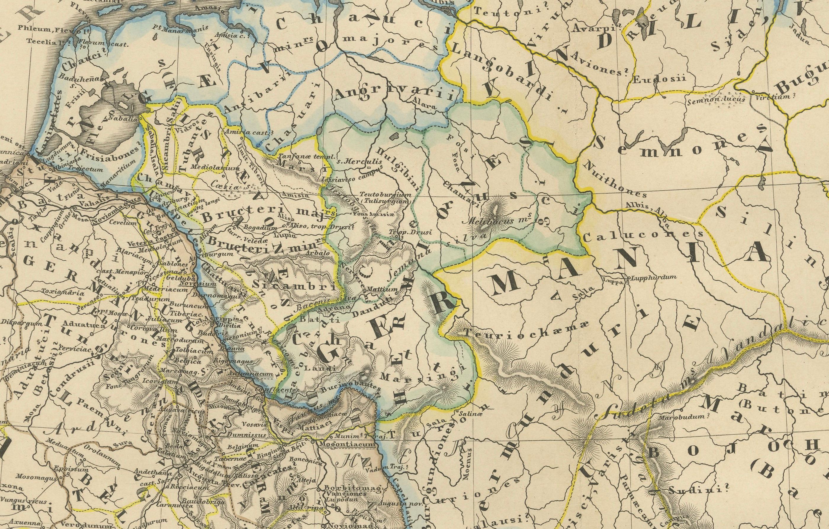
The map, titled "GERMANIA, RAETIA, NORICUM," depicts the regions of Germania, Raetia, and Noricum, which correspond to parts of modern-day Central and Eastern Europe, including areas of Germany, Austria, Switzerland, and the Balkans.
Features of the map include:
1. **Regional Divisions**: The map is divided into the regions of Germania, Raetia, and Noricum, each likely differentiated by color or shading.
2. **Topography**: It details the mountain ranges, rivers, and other geographical features of the region. The Alps, which are central to Raetia, are prominently displayed.
3. **Roman Settlements and Roads**: The map likely marks Roman settlements, forts, and roads, including the limes or frontier boundaries of the Roman Empire.
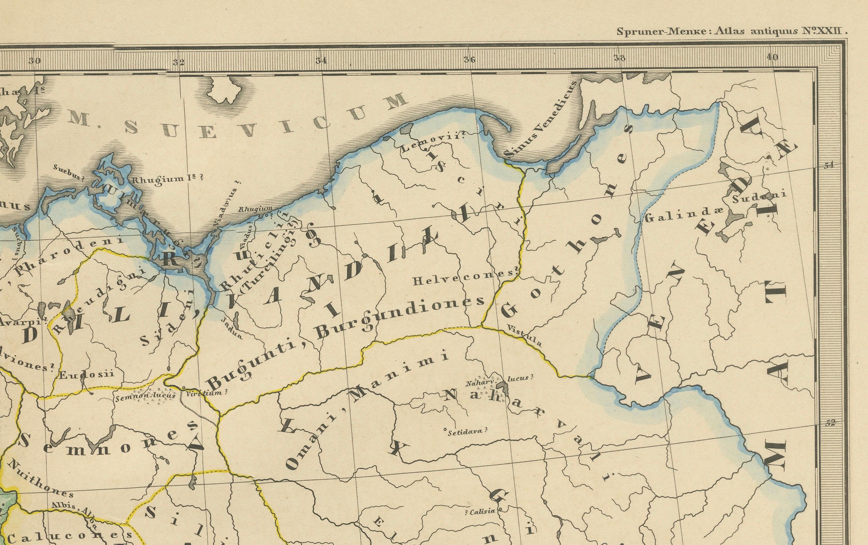
4. **Tribal Territories**: In Germania, the territories of various Germanic tribes are possibly indicated, reflecting the complex and often contentious relationship between these tribes and the Roman Empire.
5. **Latin Nomenclature**: All text is in Latin, including the names of geographical features, tribes, and Roman towns, which adds to its authenticity as a historical document.
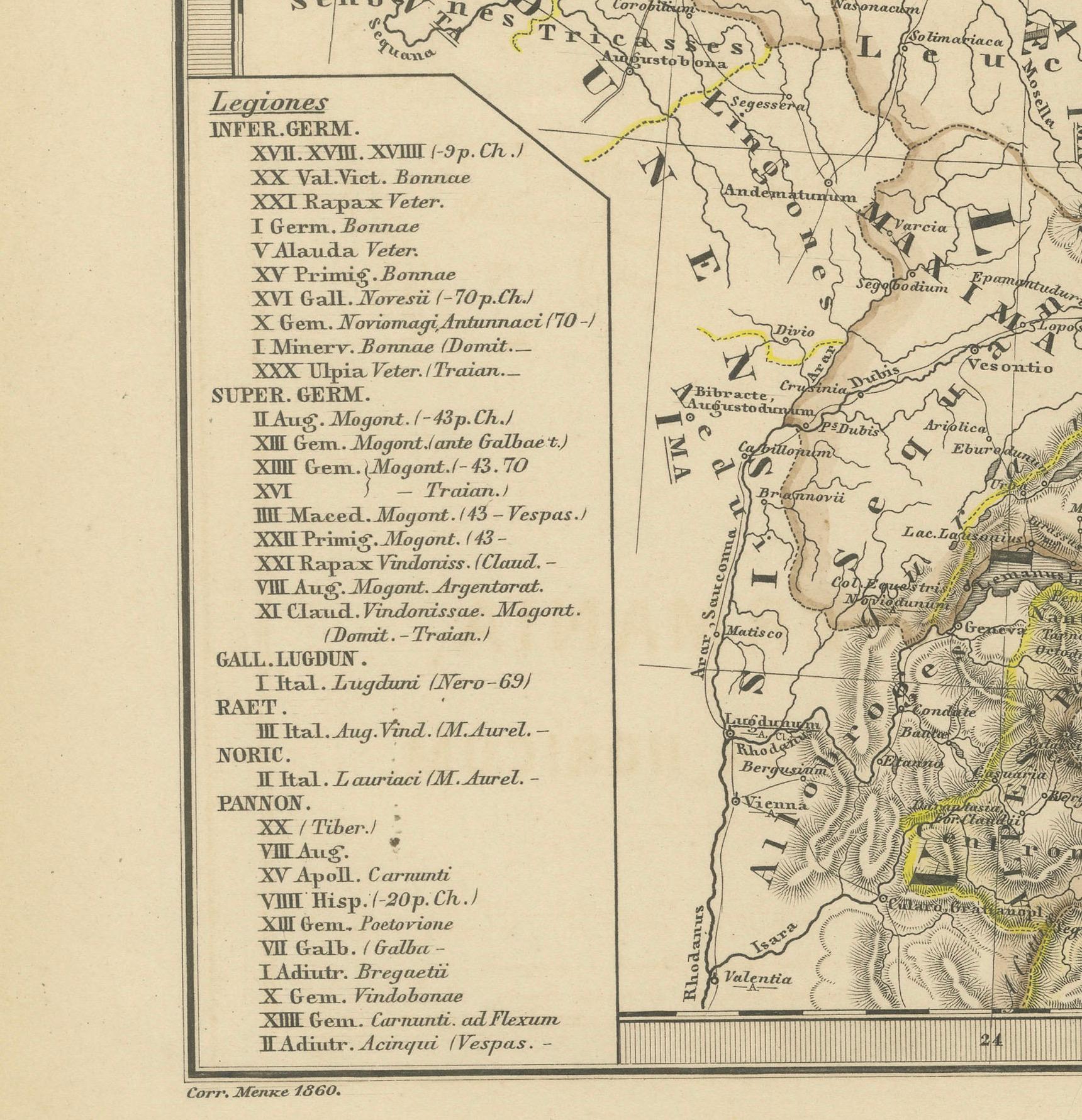
6. **Inset Legend**: A legend or key is provided, detailing the symbols used to represent cities, military sites, and other points of interest.
7. **Water Bodies**: Rivers such as the Danube (Danubius) and bodies of water like the Black Sea (Mare Germanicum) are likely labeled and clearly depicted.
8. **Historical Context**: This map provides insights into the Roman administrative divisions and military logistics in these frontier regions, which were critical for defense and the expansion of Roman influence.
The map was part of a historical atlas designed for educational purposes, offering a detailed view of the region during the Roman era. It would be particularly valuable for those studying Roman military history, geography, and the spread of Roman culture into Central Europe.
This print is from the "Spruner-Menke Atlas Antiquus." This atlas, often known for its detailed historical maps of ancient civilizations and empires, was originally created by Karl Spruner von Merz and later revised by Theodorus Menke. The atlas was a significant educational resource in the 19th century, widely used for its comprehensive historical and geographic content. The style of the map, including its coloration, typography, and the inclusion of Latin text, is consistent with other known maps from this atlas.