About this sheet
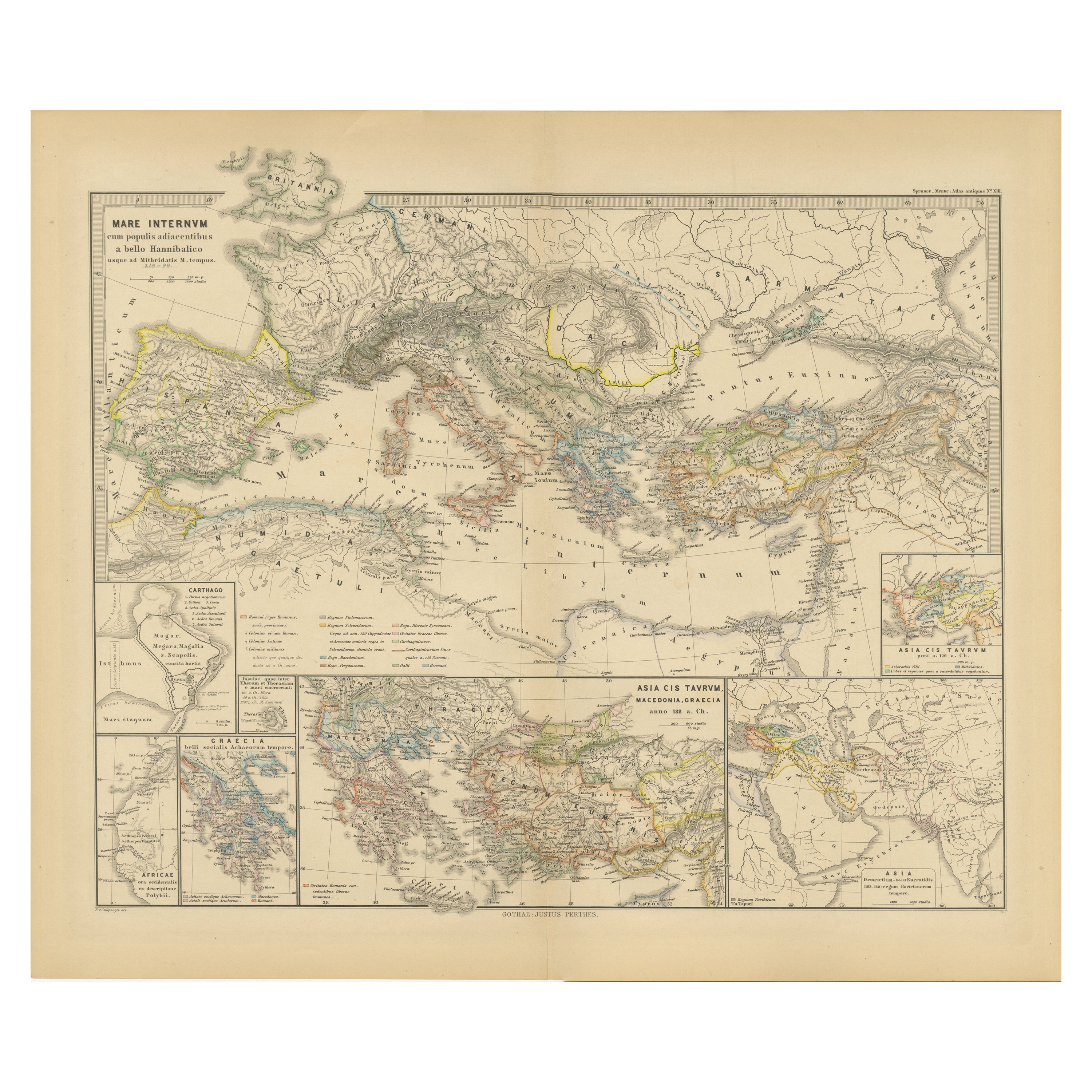
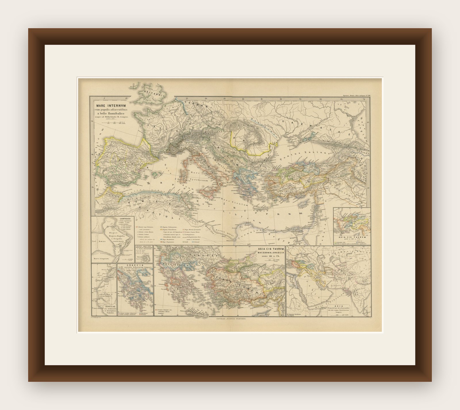
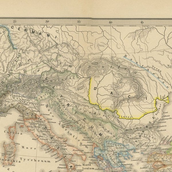
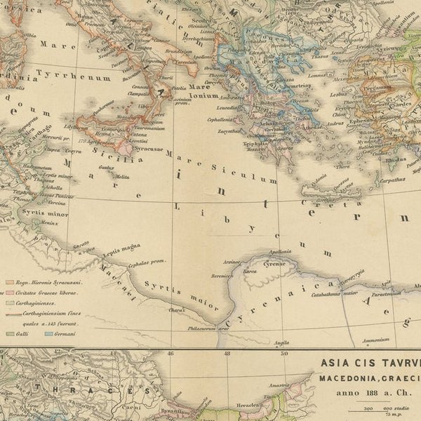
The map, with the title "MARE INTERNUM cum populis adiacentibus a bello Hannibalico usque ad Vespasiani M. princip," depicts the Mediterranean Sea and its surrounding territories, extending from the time of the Hannibalic War, also known as the Second Punic War (218-201 BC), through to the reign of Emperor Vespasian, around 69-79 AD.
Key Observations of the Map:
1. Central Focus: The Mediterranean Sea (Mare Internum) is central, emphasizing its importance as a hub of trade and cultural exchange during the indicated periods.
2. Geopolitical Boundaries: The map shows various geopolitical entities, kingdoms, and state boundaries that existed around the Mediterranean basin during the given time frame.
3. Historical Annotations: There are notes and annotations that possibly give context about significant historical events, such as battles or shifts in power.
4. Inset Maps: There are smaller inset maps along the bottom and the right side, including detailed areas such as "CARTHAGO," "GRAECIA," and "ASIA CIS TAVRVM," which provide focused views of important regions like Carthage, Greece, and parts of Asia Minor.
5. Color Coding: Different colors are used to delineate regions, which may represent the control or influence of different empires or peoples.
6. Topographical Features: Mountains, rivers, and other geographical features are depicted, giving an idea of the terrain and how it might have affected historical events.
7. Cities and Roads: Major cities, settlements, and possibly the network of Roman roads are marked, illustrating the infrastructure that supported movement and administration within the Empire.
8. Navigation Lines: Lines across the sea could represent major trade routes or voyages significant to the periods mentioned.
This map provides a comprehensive historical and geographical overview of the Mediterranean region during a span of almost three centuries, capturing the evolution of Roman dominance from the times of Hannibal to Emperor Vespasian. It serves as a valuable educational resource for understanding the complex history of this pivotal area in the ancient world.