Volcanic Eden: The Canary Islands’ Tapestry of Land and Sea in 1902
€ 370
One of a kind: this is the sheet in the photographs. Ships from Langweer, the Netherlands.
Date
1902
Sheet size
51 × 37.5 cm (20.1 × 14.8 in)
Condition
Good
Reference
BG-13642-50
Condition
Good condition. Central vertical folding lines as issued. Aged paper with typically warm, yellowish-brown hue, especially around the edges and folding lines, adding to its patina. Check the images carefully.
About this sheet
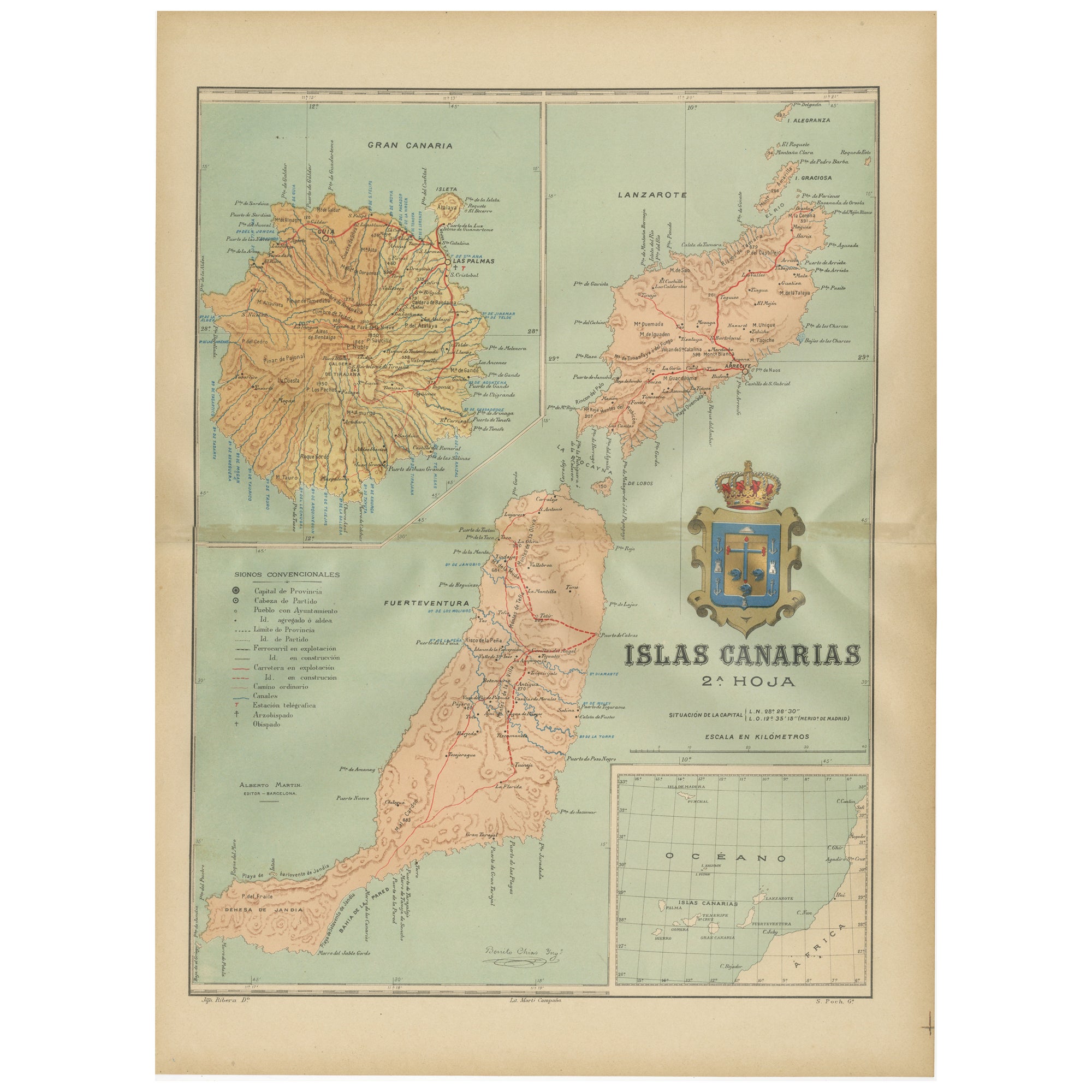
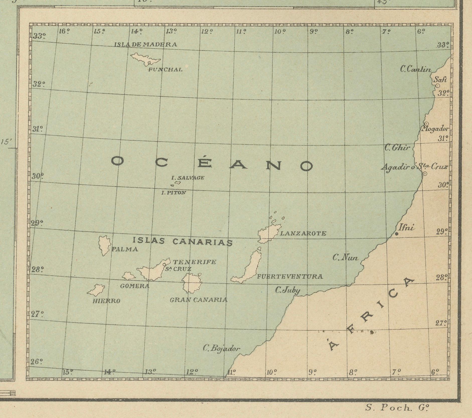
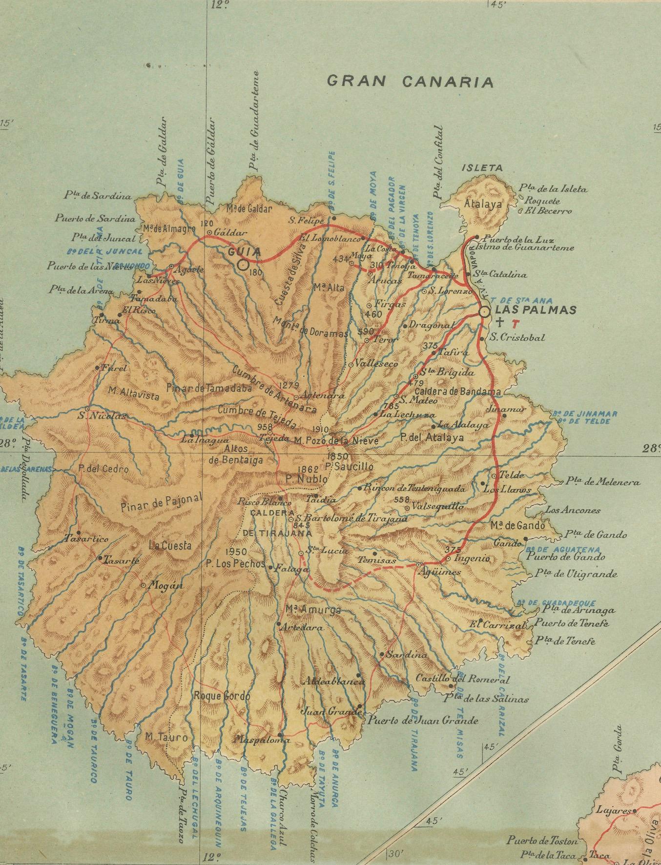
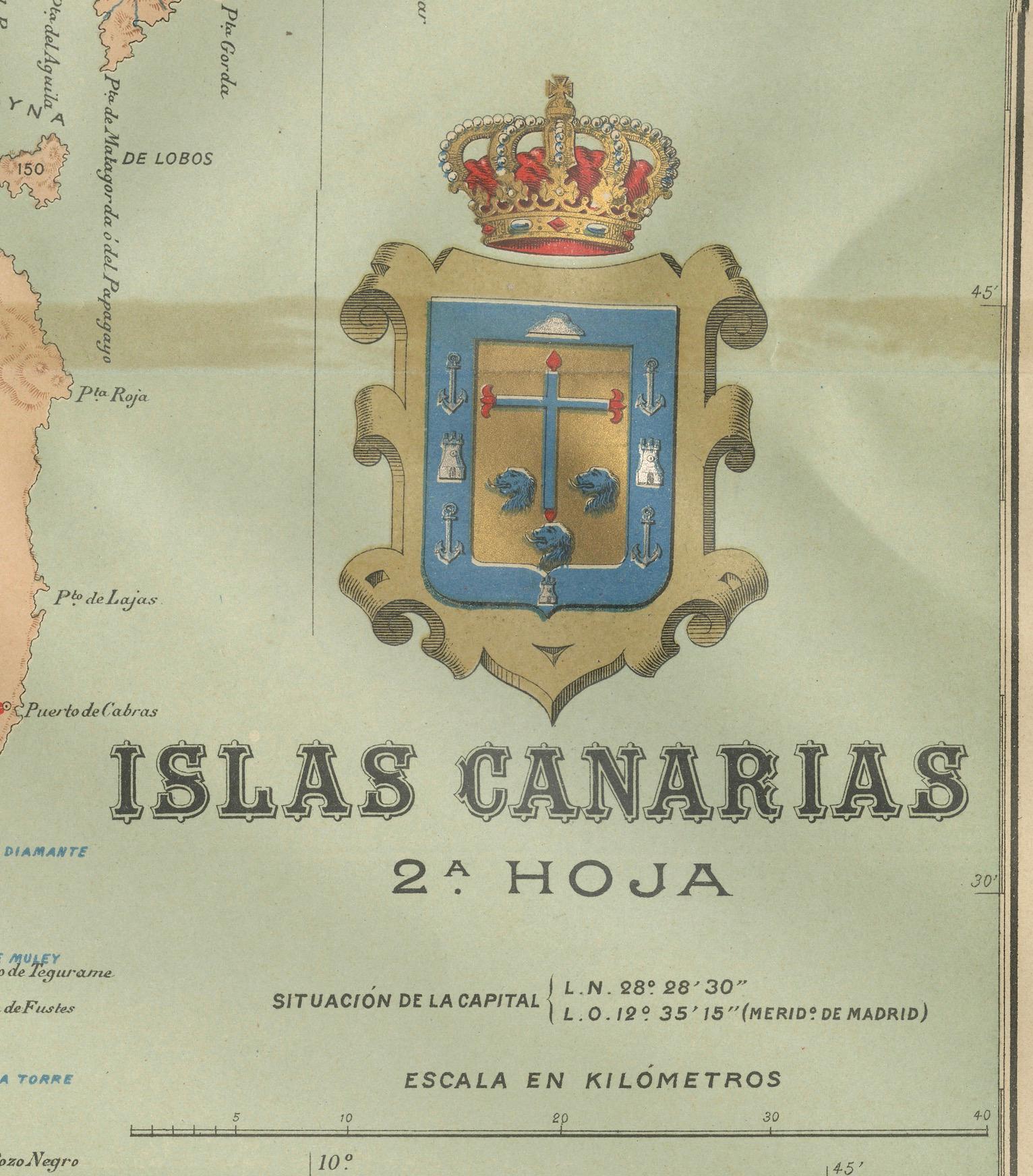
The map is the second sheet (2ª HOJA) of a historical map series of the Canary Islands from 1902. It depicts three of the major islands: Gran Canaria, Fuerteventura, and Lanzarote, along with smaller islets like La Graciosa near Lanzarote.
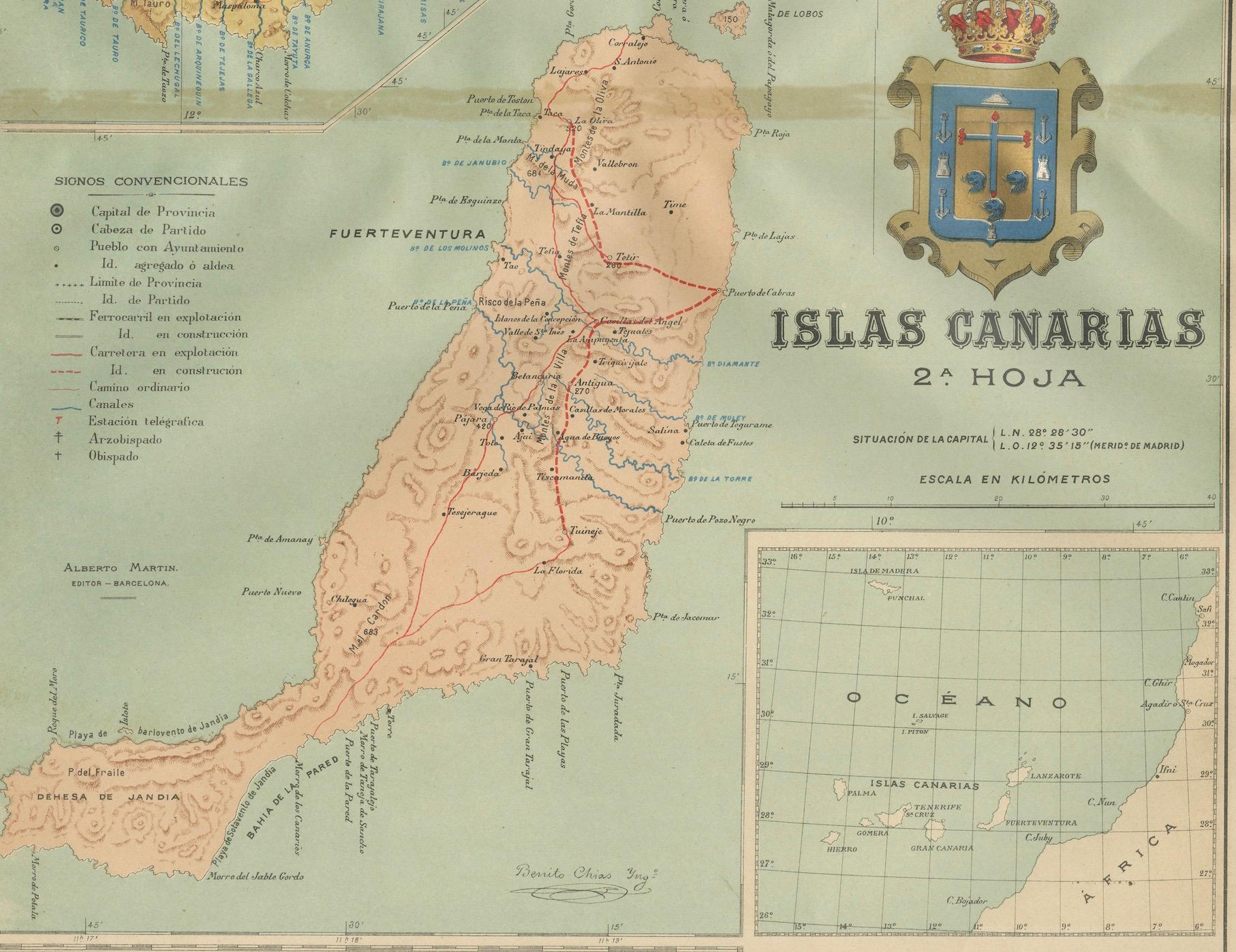
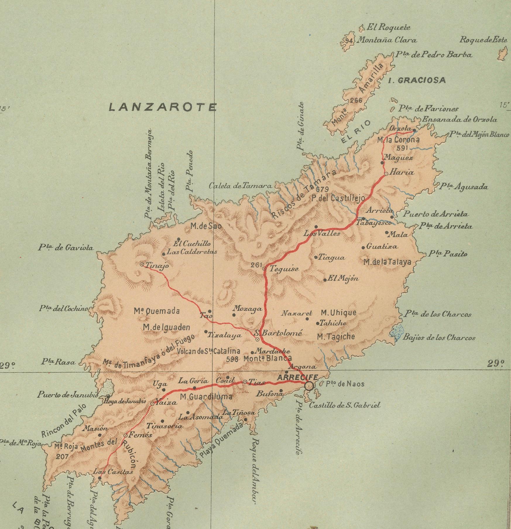
The map of Gran Canaria shows a varied topography with a central mountainous region, while Fuerteventura and Lanzarote are characterized by less elevation and smoother contours, indicative of their more arid and volcanic landscapes. Notable features of these islands include:
1. **Gran Canaria**: Known for its diverse climates and landscapes, Gran Canaria is sometimes referred to as a "miniature continent." The capital city, Las Palmas de Gran Canaria, is a cultural and economic hub in the archipelago.
2. **Fuerteventura**: The island is famous for its extensive sandy beaches and is a popular destination for wind sports like windsurfing and kitesurfing due to the strong winds.
3. **Lanzarote**: Recognized for its unique volcanic landscapes, Lanzarote has been declared a UNESCO Biosphere Reserve. The island's Timanfaya National Park is a significant attraction, showcasing the raw beauty of its volcanic terrain.
4. **La Graciosa**: This small island near Lanzarote is known for its tranquility and beautiful beaches. It is part of the Chinijo Archipelago Natural Park, the largest marine reserve in Europe.