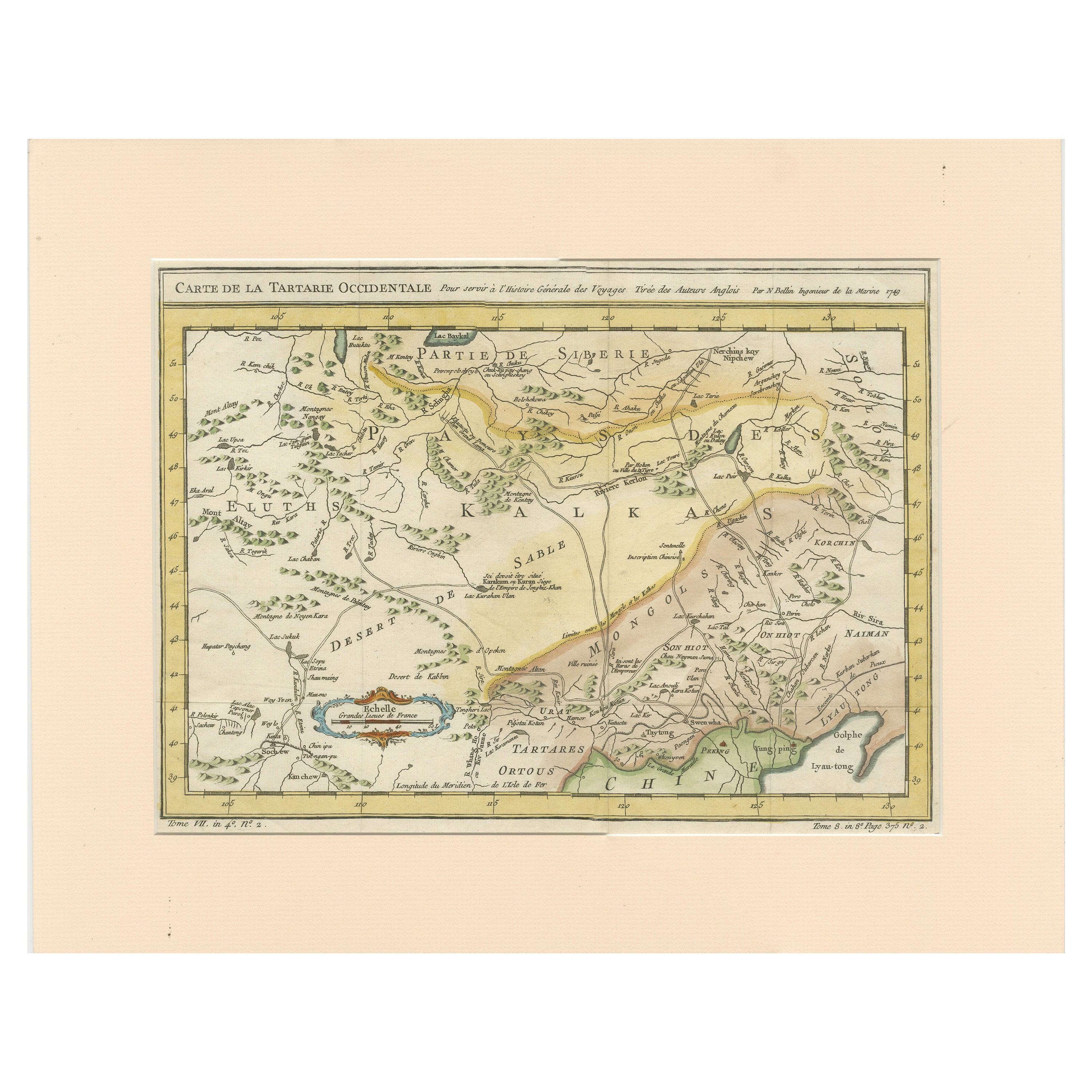
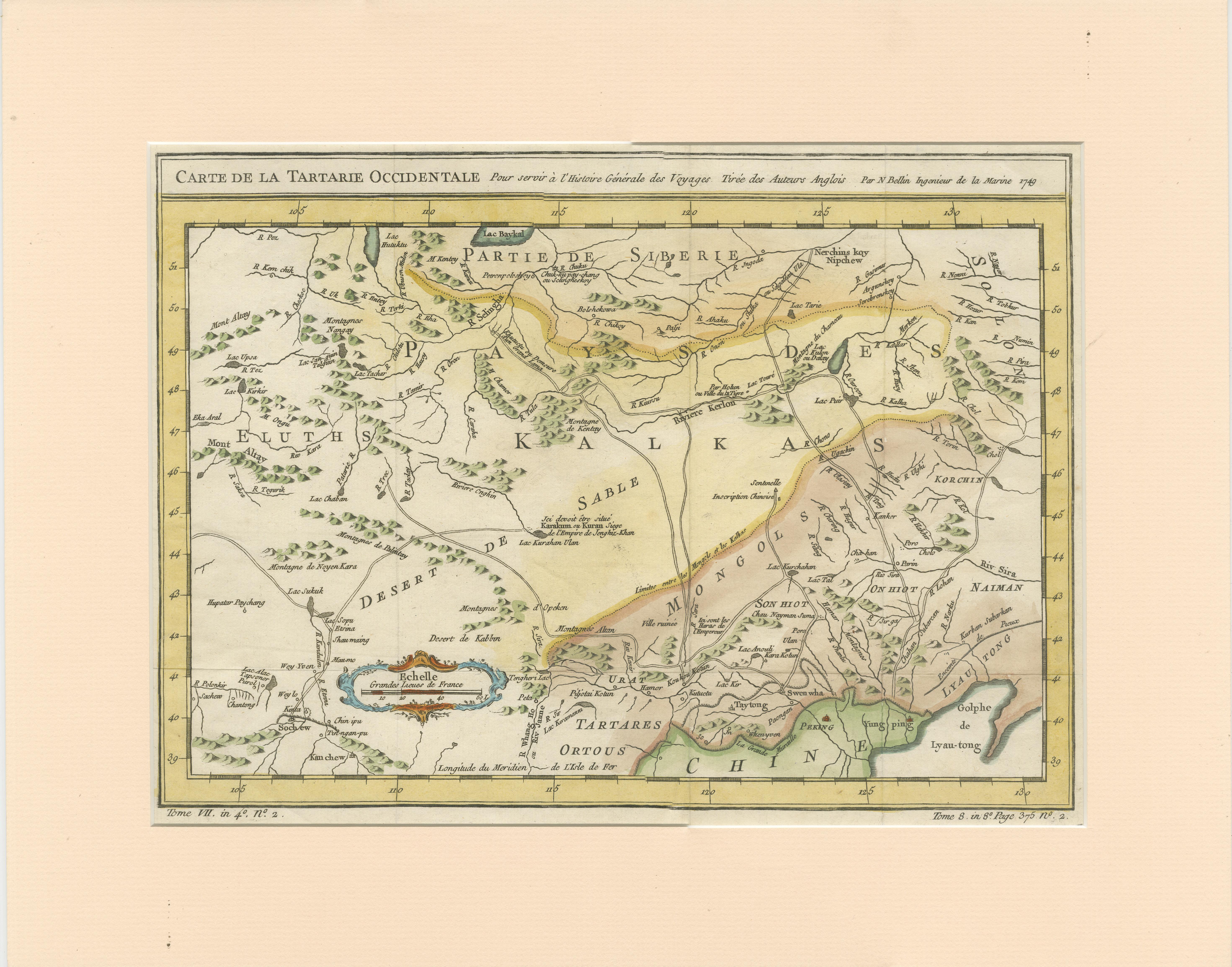
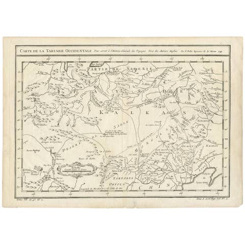
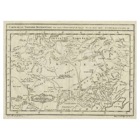
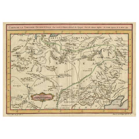
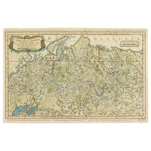
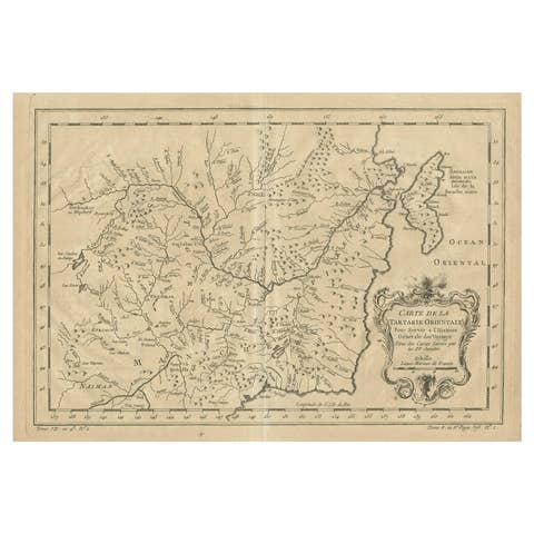
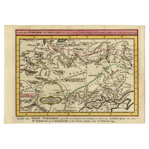
Antique Map of Tartary by Jacques Nicolas Bellin, Hand Colored, c.1750
€ 370
One of a kind: this is the sheet in the photographs. Ships from Langweer, the Netherlands.
Date
1750
Sheet size
32.8 × 41.5 cm (12.9 × 16.3 in)
Condition
Good
Reference
BG-13512-6
Condition
General age-related toning. Original folding lines. Shows some creasing, mainly in corners. Passepartout included. Please study image carefully.
About this sheet
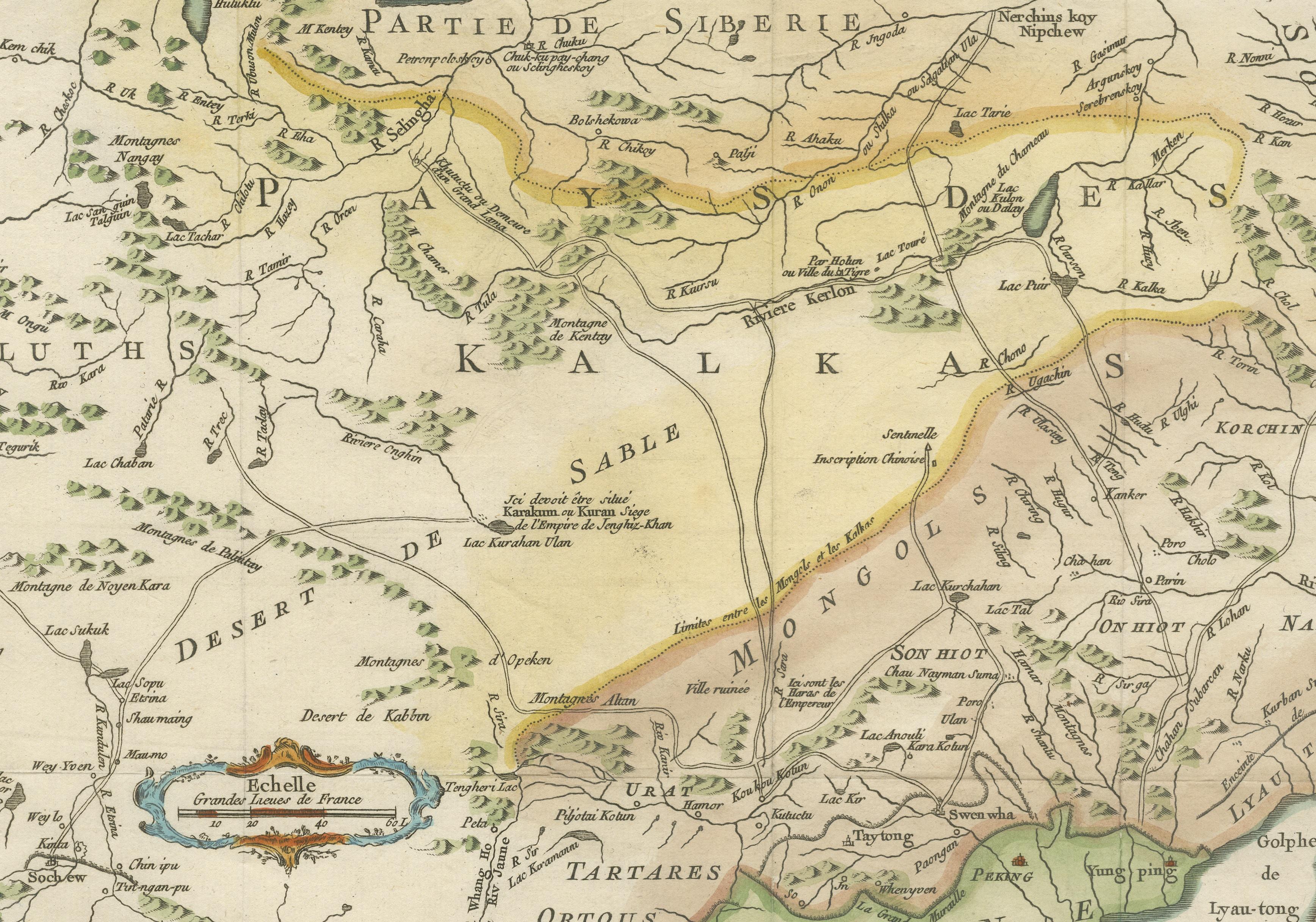
Antique map titled 'Carte de la Tartarie Occidentale'. An interesting map of Tartary and northeast Asia, from Lake Baykal, Partie du Siberia in the north, Pays des Kalkas at the center, as well as Desert de Sable, and down to Chine and the Gulf de Lyau-tong. Prepared by Jacques Nicolas Bellin after Dutch sources and included in Prévost d' Exile's "Histoire des Voyages", published between 1738-1775.
Jacques Nicolas Bellin (1703-1772) was one of the most important and proficient French cartographers of the mid-eighteenth century. He was appointed the first Ingenieur Hydrographe de la Marine, and also Official Hydrographer to the French King. Bellin also produced a substantial number of important separately issued maps, particularly reflecting continuing discoveries and political events in the Americas. His maps and charts were finely engraved and produced, and set a high standard of accuracy.