About this sheet
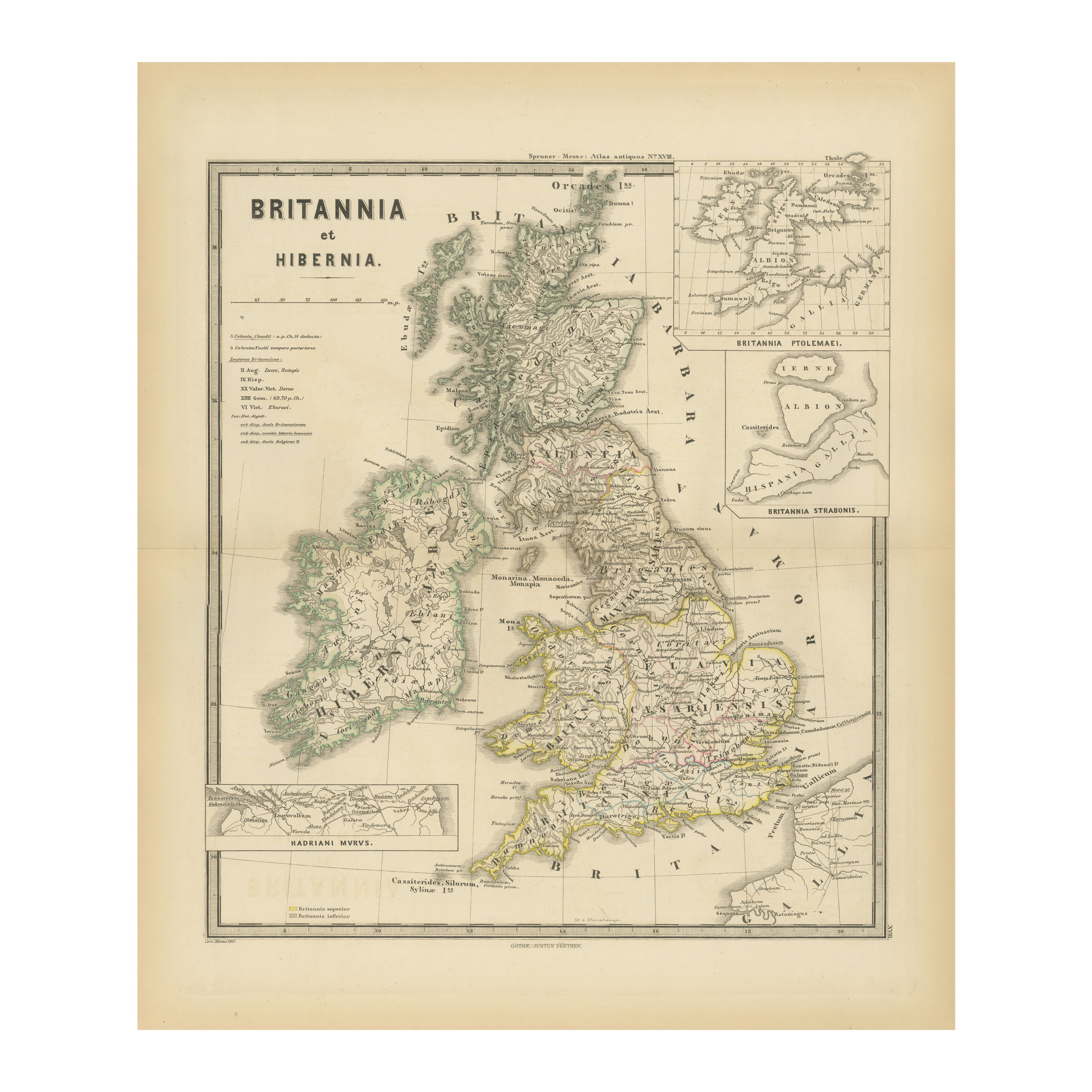
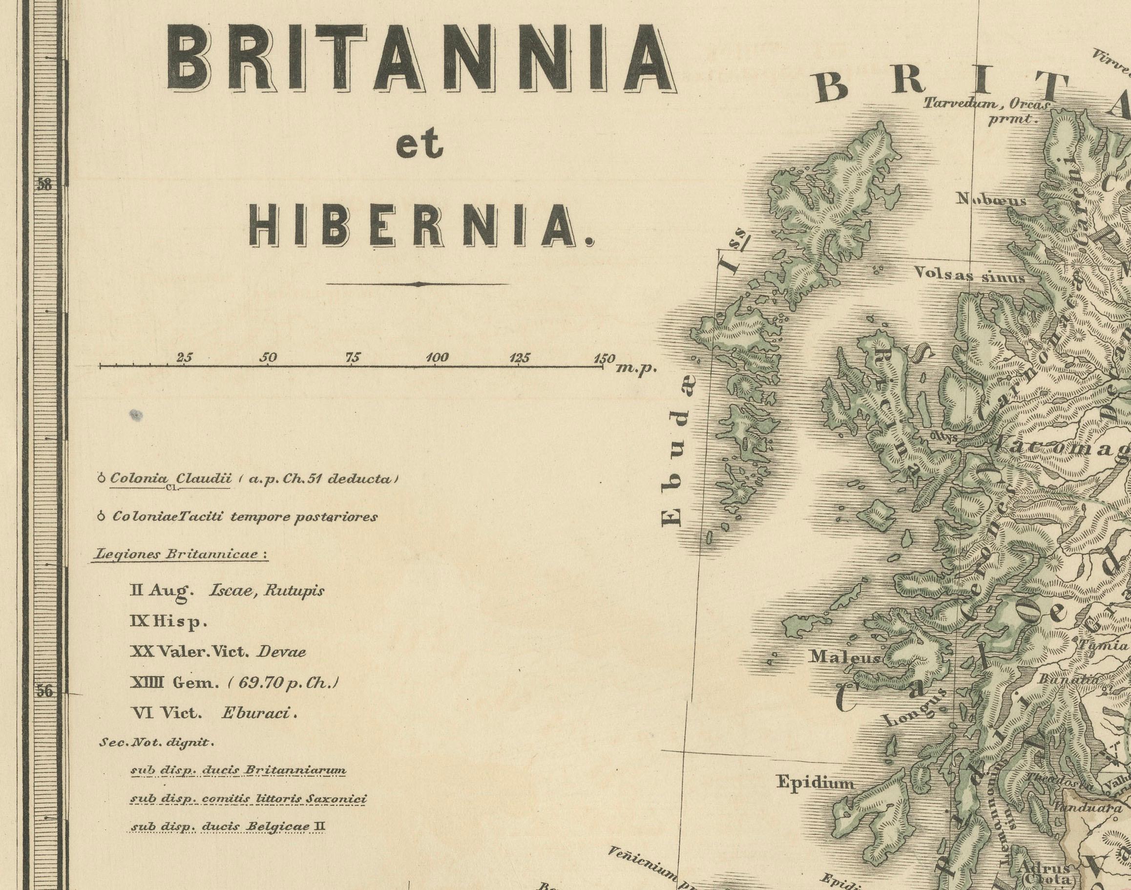
This map depicts the geographical area of Great Britain and Ireland, labeled "BRITANNIA et HIBERNIA." It is a historical map, as indicated by the Latin titles and the classical names of regions and tribes.
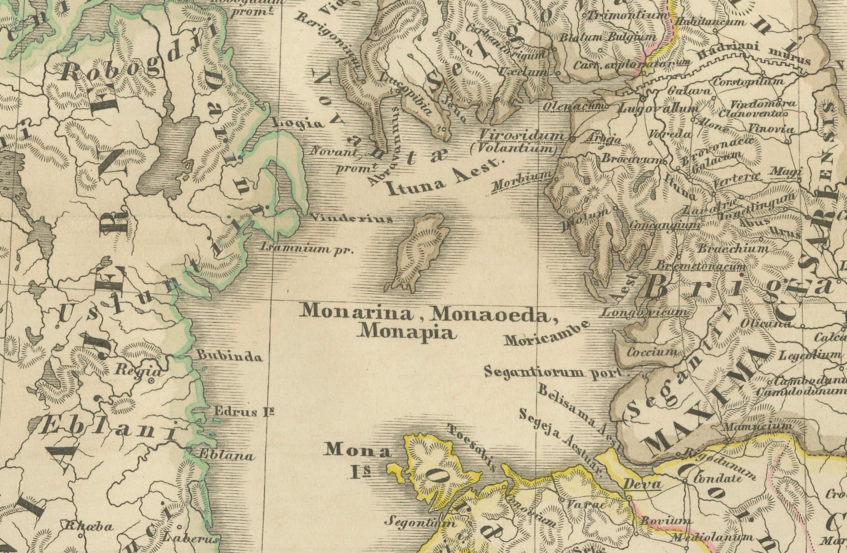
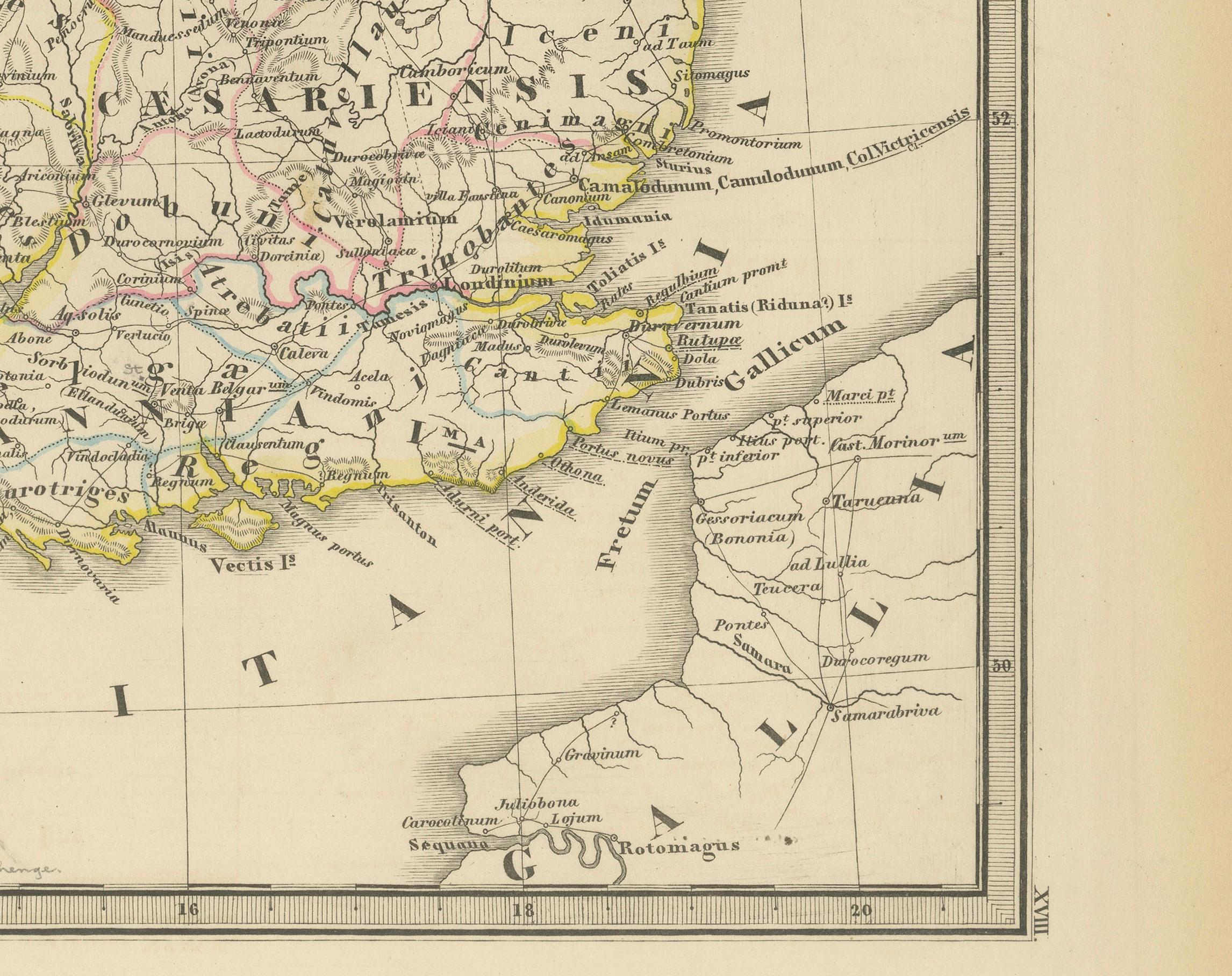
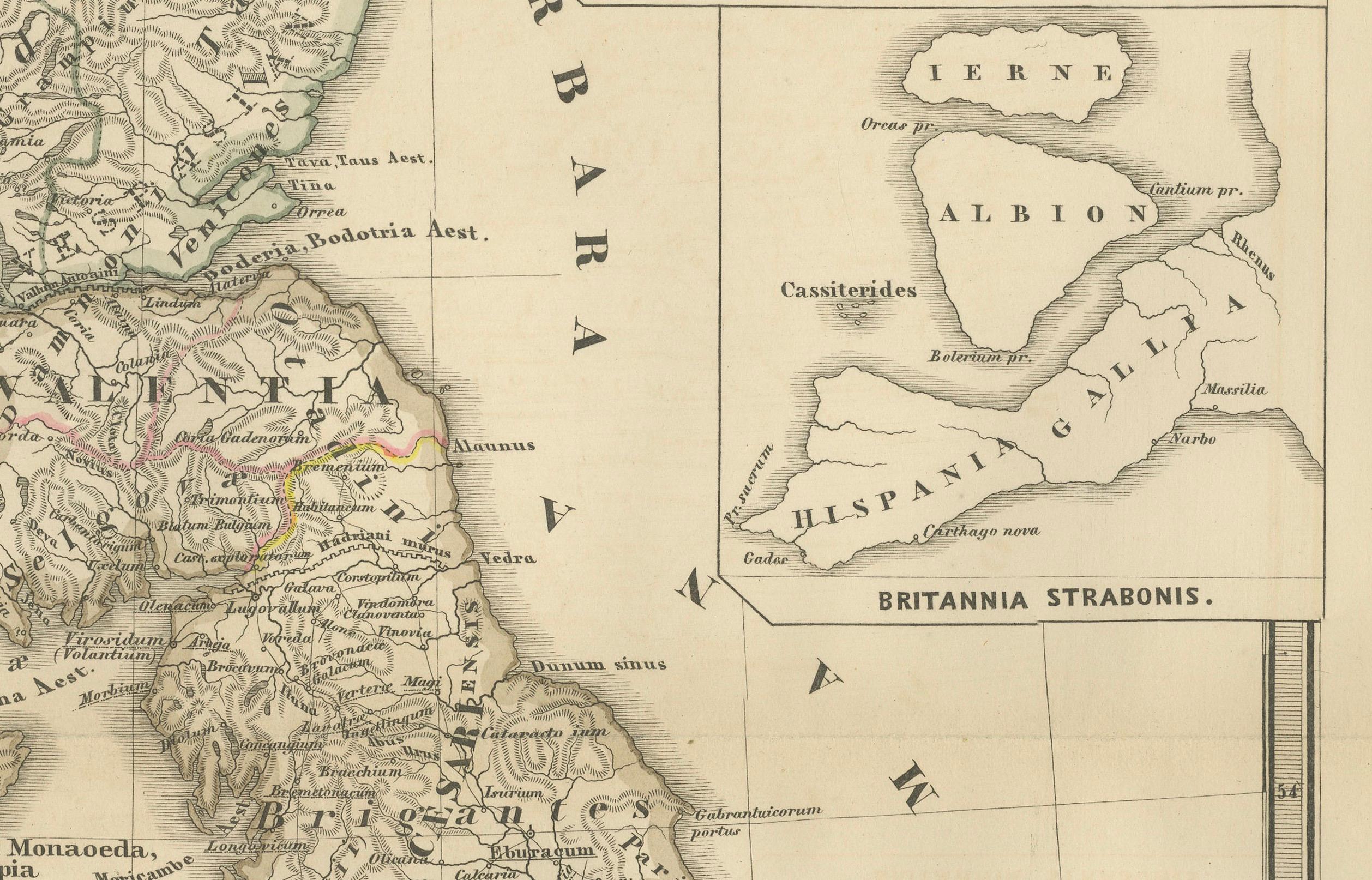
In the main section of the map, Great Britain is depicted in fine detail, with topographical features such as mountains and rivers. The map is color-coded, to differentiate political or tribal boundaries. Various Roman place names are indicated, such as "Londinium" for London.
To the left of Great Britain is Ireland, referred to as "Hibernia," similarly detailed with its own topographical features and ancient place names.
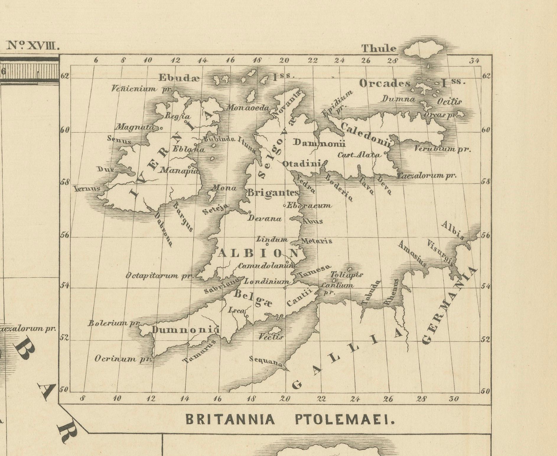
In the top right corner, there are three smaller inset maps:
1. "Orchades Ins.," which refers to the Orkney Islands.
2. "BRITANNIA PTOLEMAEI," which represents the British Isles according to Ptolemy's geography.
3. "BRITANNIA STRABONIS," showing the geographical perspective of the British Isles by Strabo, another ancient geographer.
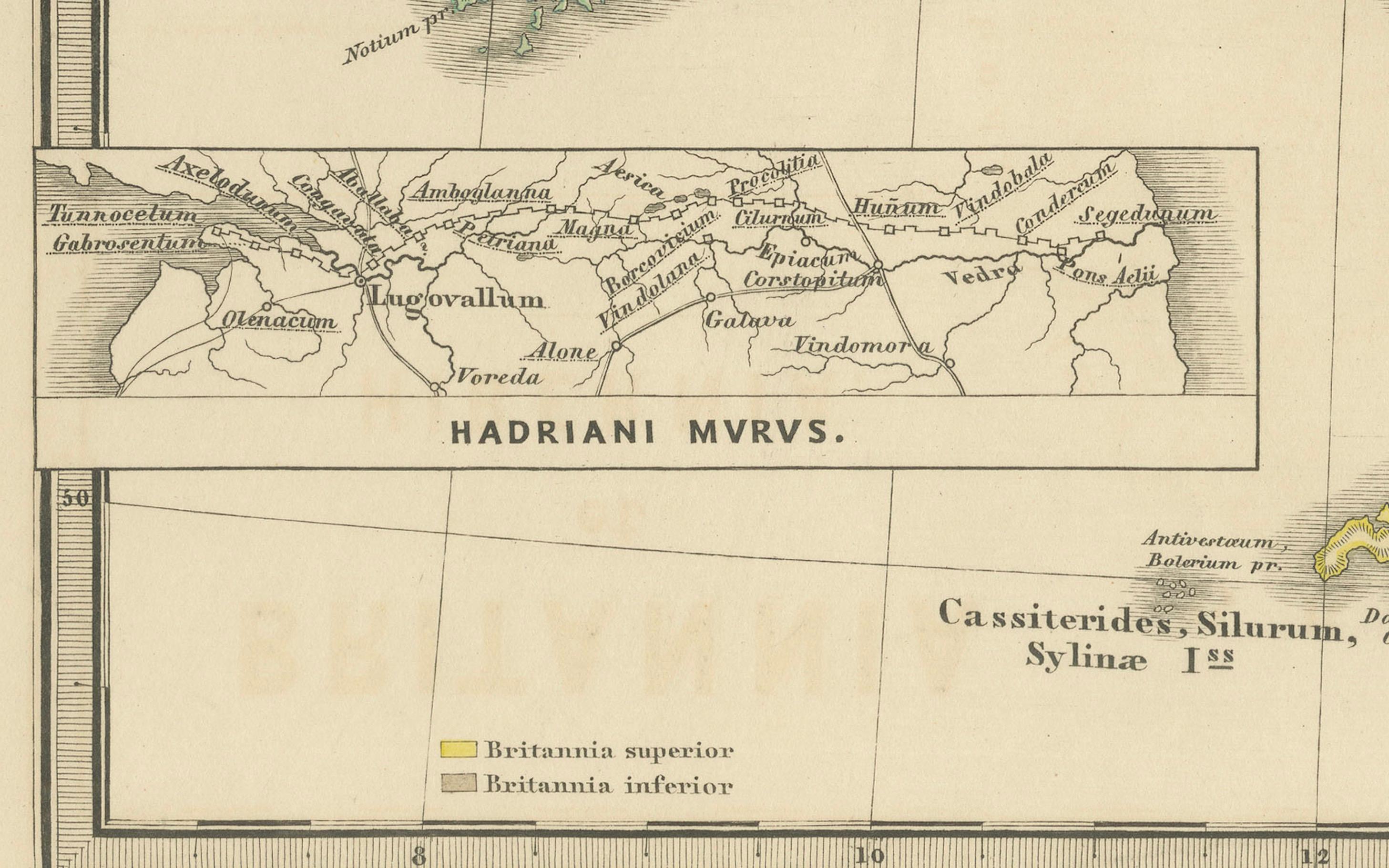
At the bottom left, there is an illustration labeled "HADRIANI MVRVS," which represents Hadrian's Wall, the Roman defensive fortification in Northern Britain.
The text and inscriptions are in Latin, and the map has a grid overlay, suggesting it was meant for scholarly or educational use. The map’s detailed portrayal of ancient geographic knowledge indicates it was produced for a historical atlas, to illustrate the geographical understanding of the British Isles in ancient Roman times.
The map is from "Spruner-Menke Atlas Antiquus," which is a historical atlas compiled by Karl Spruner von Merz and edited by Theodorus Menke. This particular map, illustrating ancient Britain and Ireland (Britannia et Hibernia), is part of the series of maps found in this atlas, known for detailing the historical geography of different periods.
The atlas itself is a collection of maps that often includes supplementary information such as important historical notes, names of regions in Latin, and depictions of topographical features. These maps were used as educational tools and references for scholars interested in historical and classical studies.
Given the style and detail of the map, as well as the labeling in Latin, it is from a 19th-century edition of the atlas, which sought to present the classical and medieval geography of the world as understood at the time.