Maps & PrintsBartele Gallery · Langweer
Home / Antique Maps / Europe / Western Europe / United Kingdom & Ireland

United Kingdom & Ireland

Original Antique Map of the British Isles Surrounded by Text

€ 370

One of a kind: this is the sheet in the photographs. Ships from Langweer, the Netherlands.

Sheet size
42 × 60.2 cm (16.5 × 23.7 in)
Condition
Good
Reference
BG-13395-3

Condition

Original/contemporary hand coloring. Original folding line. Minor wear and soiling, blank verso. Please study image carefully.
About this sheet

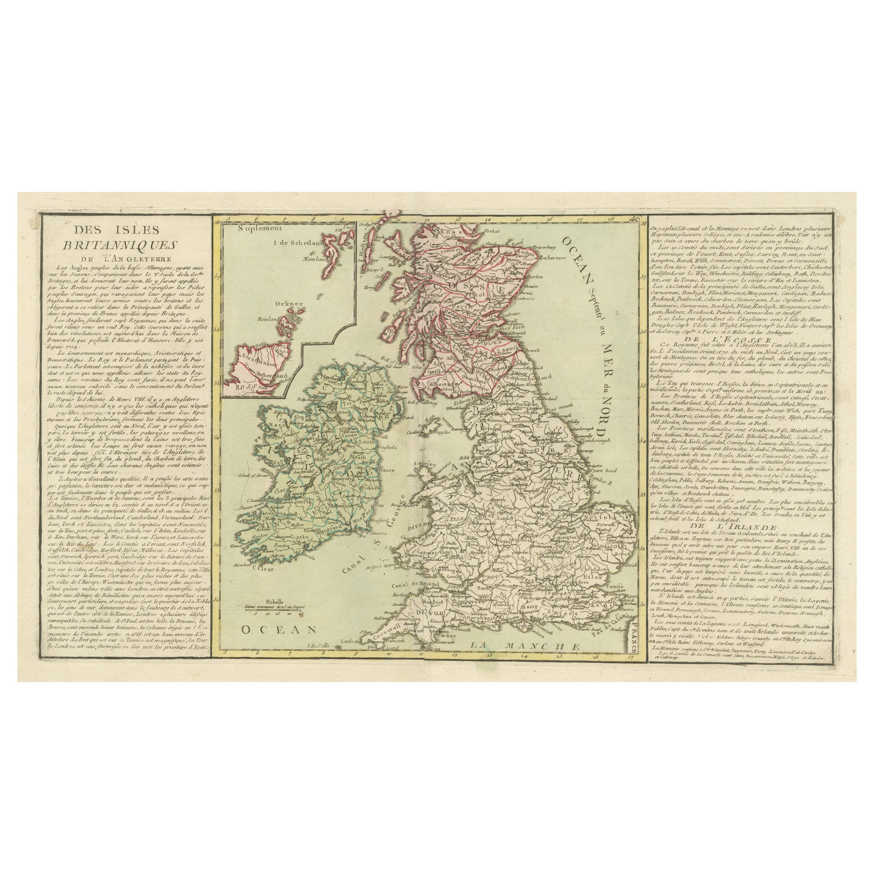


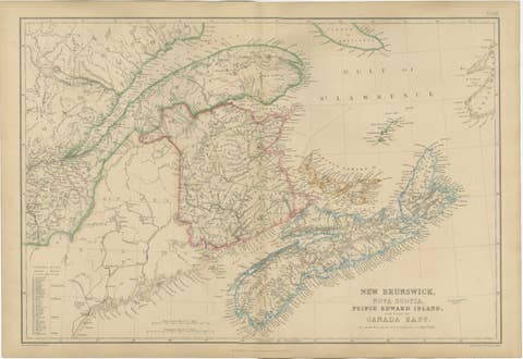
Antique map titled 'Des Isles Britanniques'. Original antique map of the British isles. This map is divided in to three major regions of the 18th century United Kingdom: England, Ireland, and Scotland. It is color coded and thoroughly labeled with provinces and many major and minor cities. Since northern Scotland is cut off, there is an insert in the upper left hand corner of the map which shows Scotland’s upper boundaries and features the Orkney and Shetland Islands. Additionally, the map is surrounded by text which summarizes the histories of England, Ireland, and Scotland. Published by J.B.L. Clouet, 1787.

More from United Kingdom & Ireland

Ask about this sheet

Original Antique Map of the British Isles Surrounded by Text
Ref. BG-13395-3 · € 370
We reply by email, usually within one working day.