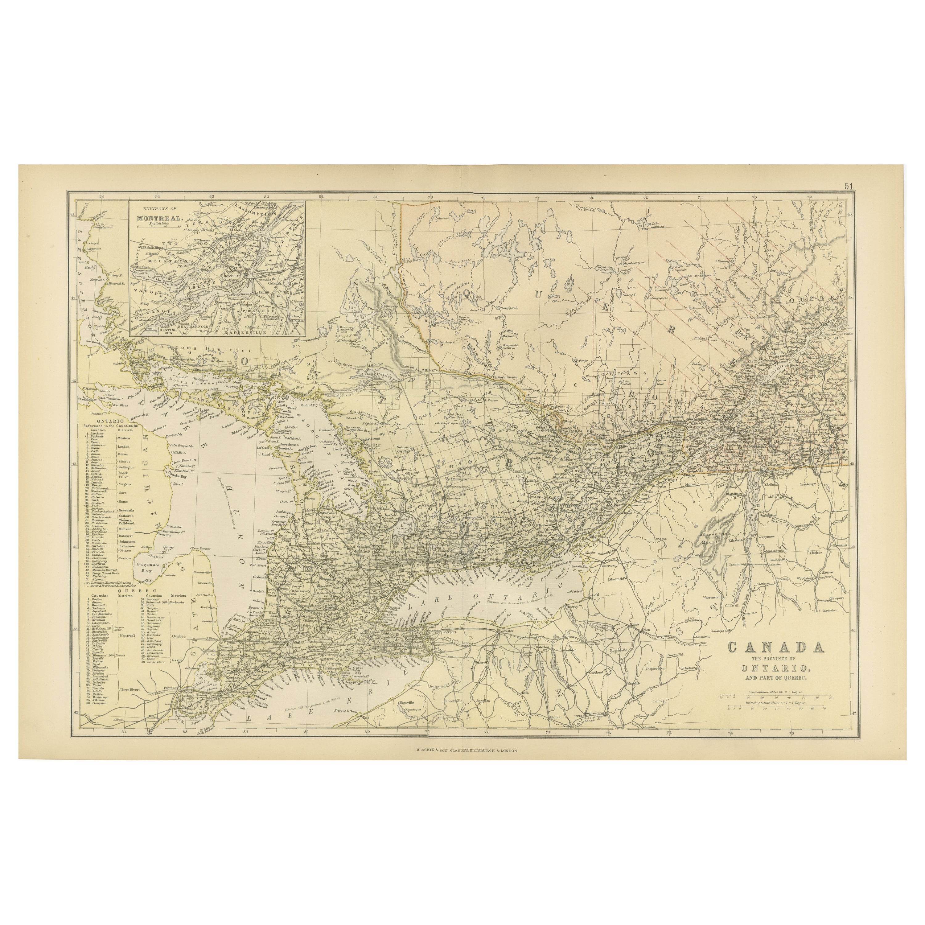
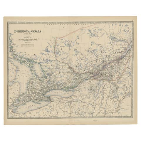
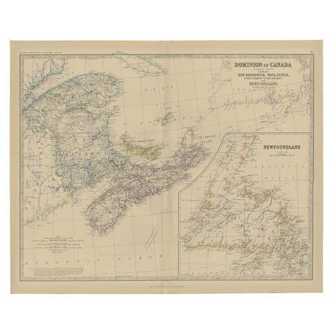
Antique Map of Canada, The Province of Ontario and Part of Quebec, 1882
€ 250
One of a kind: this is the sheet in the photographs. Ships from Langweer, the Netherlands.
Date
1882
Sheet size
38 × 57 cm (15.0 × 22.4 in)
Condition
Good
Reference
BG-13601-2-60
Condition
Good condition, folding line in the middle. The outer borders are slightly discolored due to age, but not the image. Study the image carefully.
About this sheet
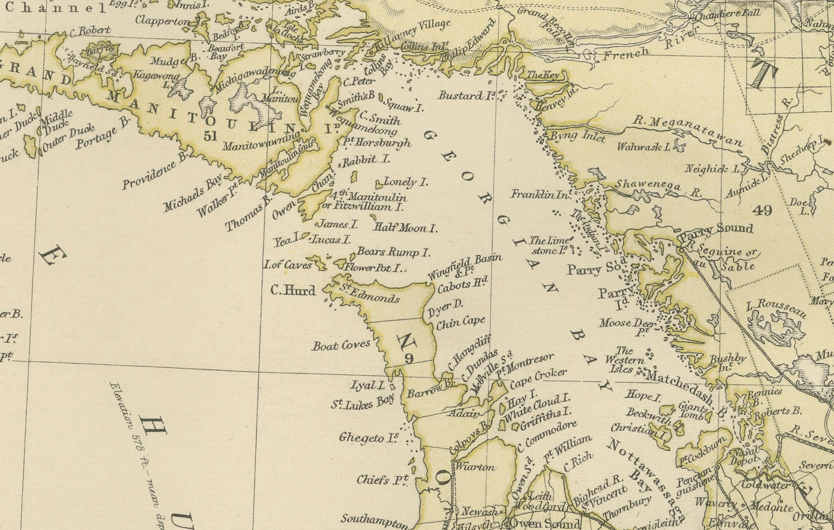
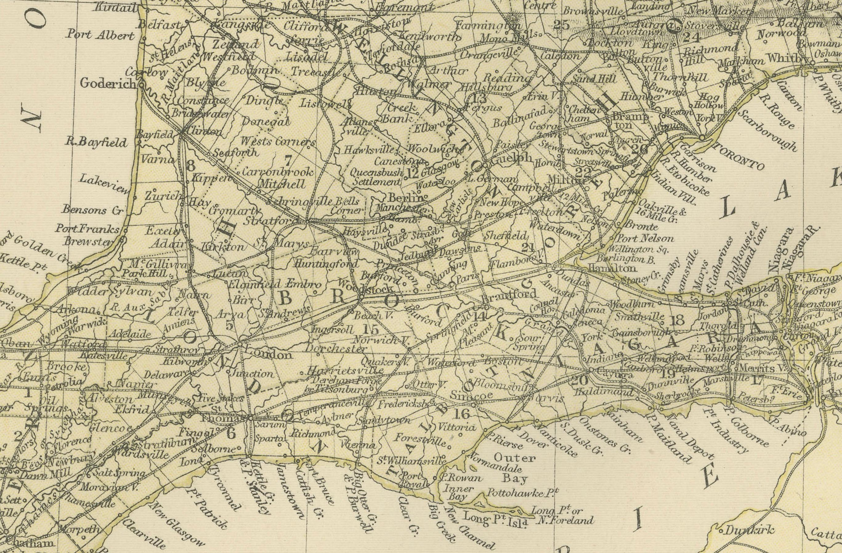
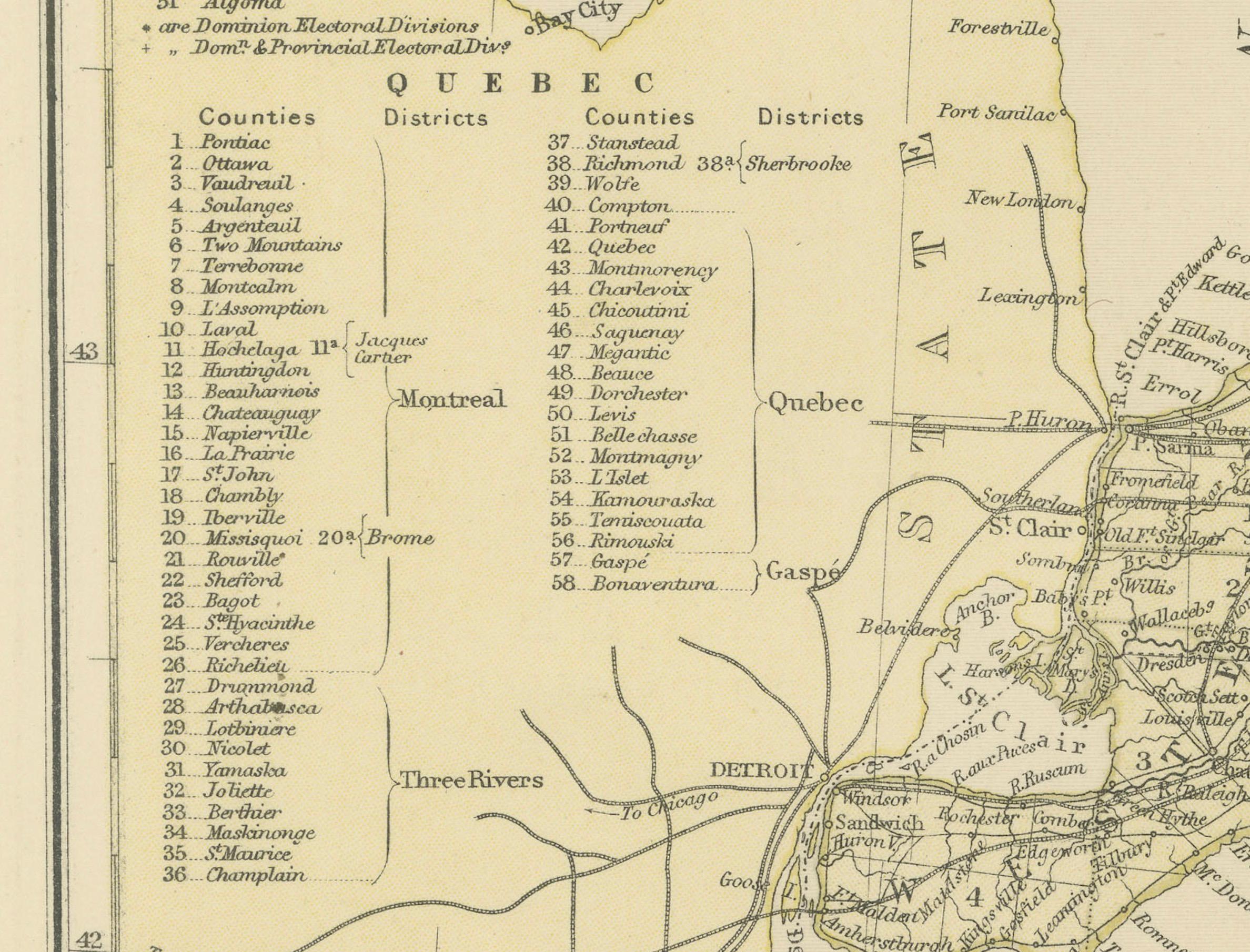
This is a historical map from the 1882 Blackie Atlas, this time detailing "The Province of Ontario, and Part of Quebec" in Canada. The map presents a detailed illustration of Ontario, highlighting its dense network of rivers, lakes, and settlements, as well as the intricate railway systems that were vital for communication and transportation during that period.
The map features Lake Ontario prominently and includes the bordering areas of Quebec. This suggests an emphasis on the interconnectedness of these regions, both geographically and economically, during the time. The inclusion of the St. Lawrence River, a key navigational route, reflects its importance for trade and movement between the Great Lakes and the Atlantic Ocean.
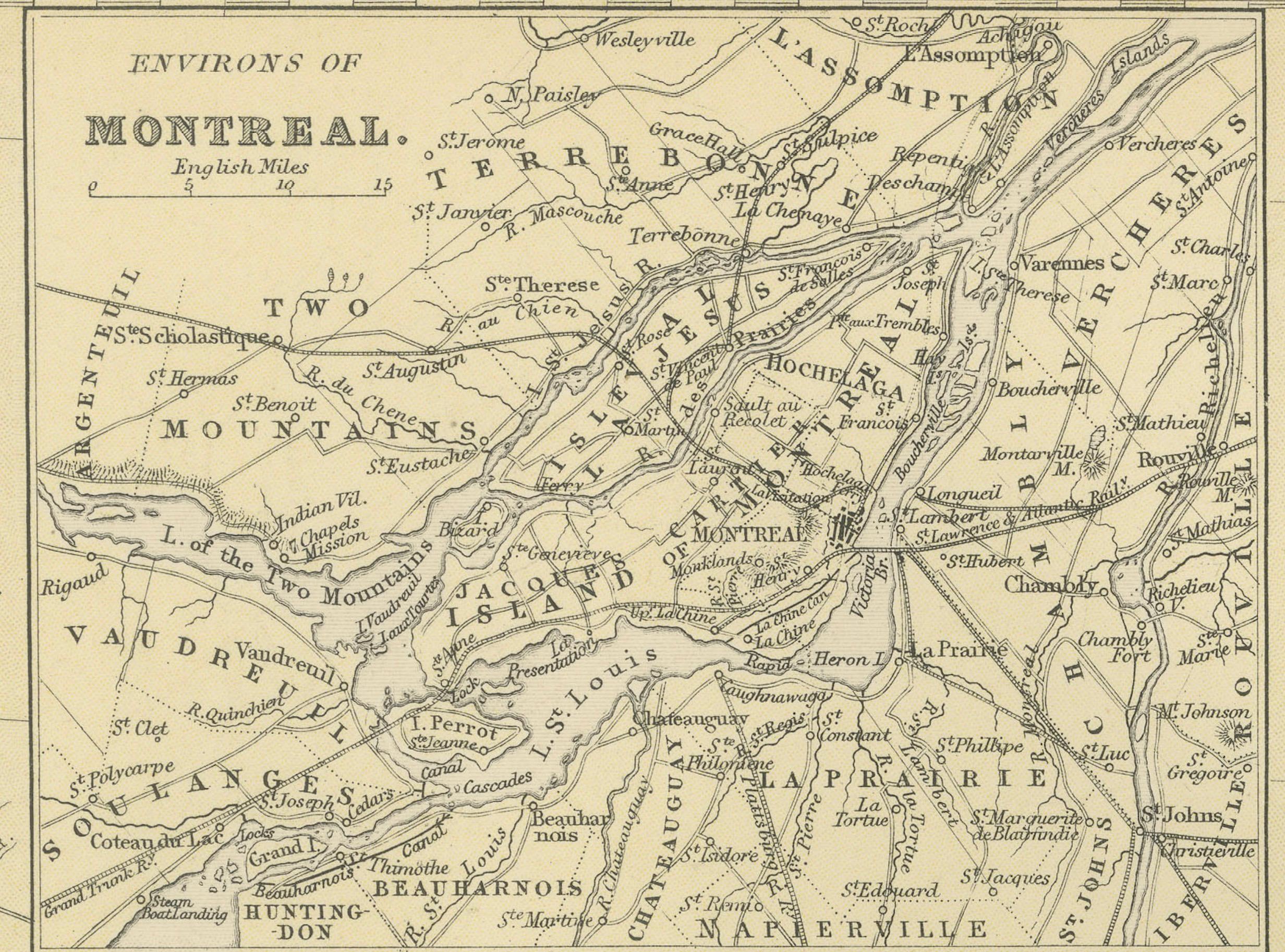
An inset in the top left corner provides a more detailed street map of the city of Montreal, indicating the city's importance as a hub during the late 19th century. The detail in this inset suggests that Montreal was a significant urban center worth separate consideration from the larger provincial map.
The map's legend, likely located on the left side, probably lists the towns and various geographical features, such as counties, in Ontario. The hachures indicate the relief and show the varied terrain of Ontario and part of Quebec. As with other maps from the era, the scale and longitude and latitude markers are indicative of the map's utility for navigation and education. The precision of the mapmaking suggests a high level of cartographic skill and a commitment to detail.