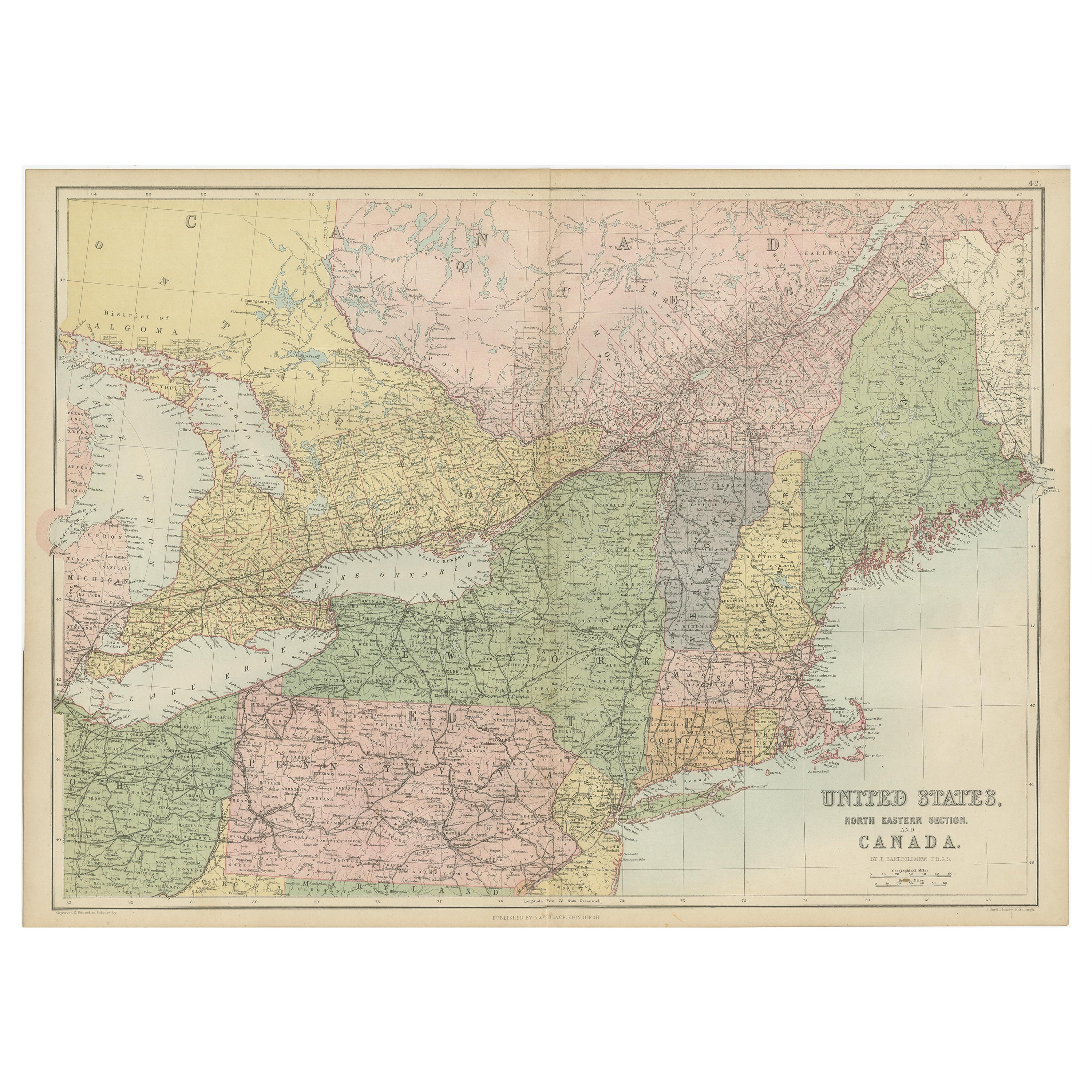
Antique Map of The United States and Canada by A & C. Black, 1870
€ 250
Original antique · The actual sheet photographed · Certificate of authenticity on request · Sold unframed · Worldwide shipping from € 15 (rates)
Date
1870
Sheet size
44.5 × 60 cm (17.5 × 23.6 in)
Condition
Good
Reference
BG-12784-42
What the condition grades mean
Excellent
Bright and clean, with no faults worth mentioning.
Very good
Only light signs of age, such as faint toning.
Good
Normal signs of age for a sheet of this period: toning, some foxing, small marks or neat old repairs.
Fair
Clear faults such as staining, tears or repairs, priced to match.
Every fault we see is written in the condition note, and the whole sheet is shown uncropped in the photos.
Condition
General age-related toning. some foxing. Please review the images for further condition details.
About this sheet
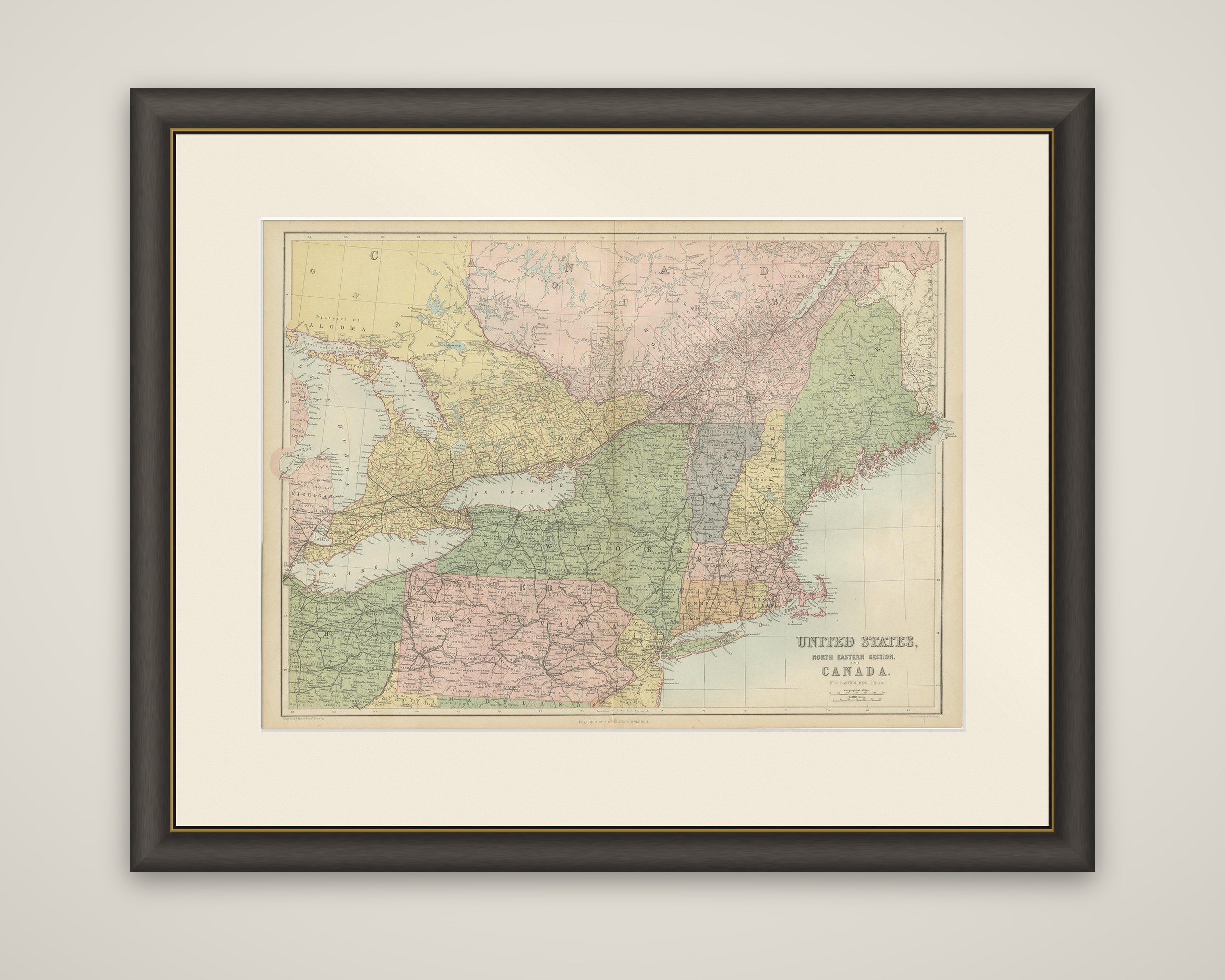
The northeastern United States and Canada on a map titled "United States, North Eastern Section, and Canada", from Black's General Atlas of the World, published by A. & C. Black in 1870. The sheet is an engraved map colored by state and province, with the title at lower right.
The map covers New England, New York and Pennsylvania along the lower and right-hand side of the sheet, with Maine, New Hampshire, Vermont, Massachusetts, Connecticut and Rhode Island each in its own color, and the Atlantic coast and Long Island at the edge. Across the top, the settled southern parts of Ontario and Quebec are tinted yellow and pink, and Lake Ontario, Lake Erie, Lake Huron and Georgian Bay, with Michigan at the left, form the central waterways. Railway lines are drawn heavily through New York, Pennsylvania and the Canadian peninsula, and the District of Algoma is lettered at upper left.
The sheet takes in the industrial and commercial heartland of the northeastern states and the most populous part of Canada in a single frame.