Original antique · The actual sheet photographed · Certificate of authenticity on request · Sold unframed · Worldwide shipping from € 15 (rates)
Date
1909
Sheet size
49.5 × 62 cm (19.5 × 24.4 in)
Condition
Good
Reference
BG-12940-47
What the condition grades mean
Excellent
Bright and clean, with no faults worth mentioning.
Very good
Only light signs of age, such as faint toning.
Good
Normal signs of age for a sheet of this period: toning, some foxing, small marks or neat old repairs.
Fair
Clear faults such as staining, tears or repairs, priced to match.
Every fault we see is written in the condition note, and the whole sheet is shown uncropped in the photos.
Condition
Minor fading. General age-related toning. Please review the images for further condition details.
About this sheet
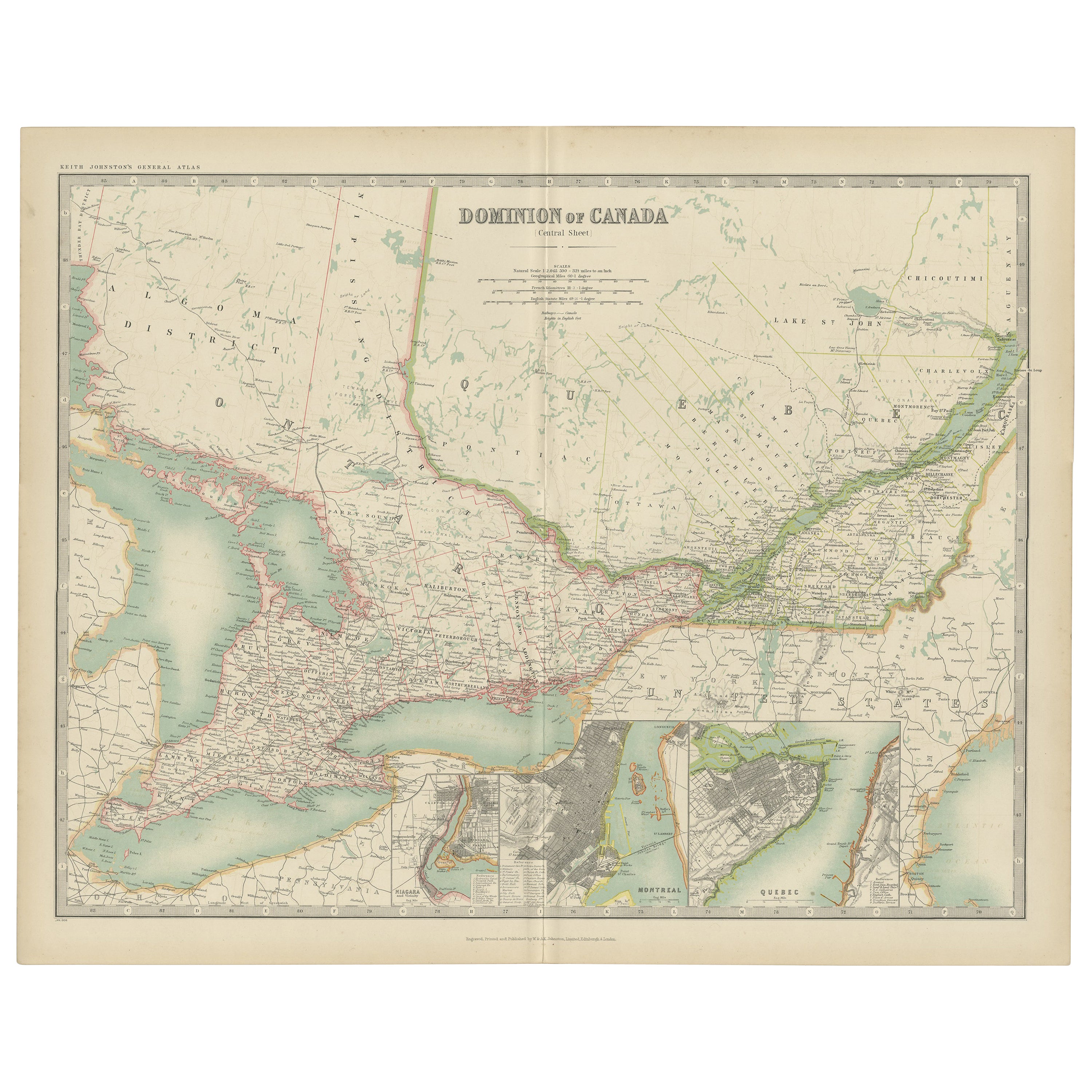
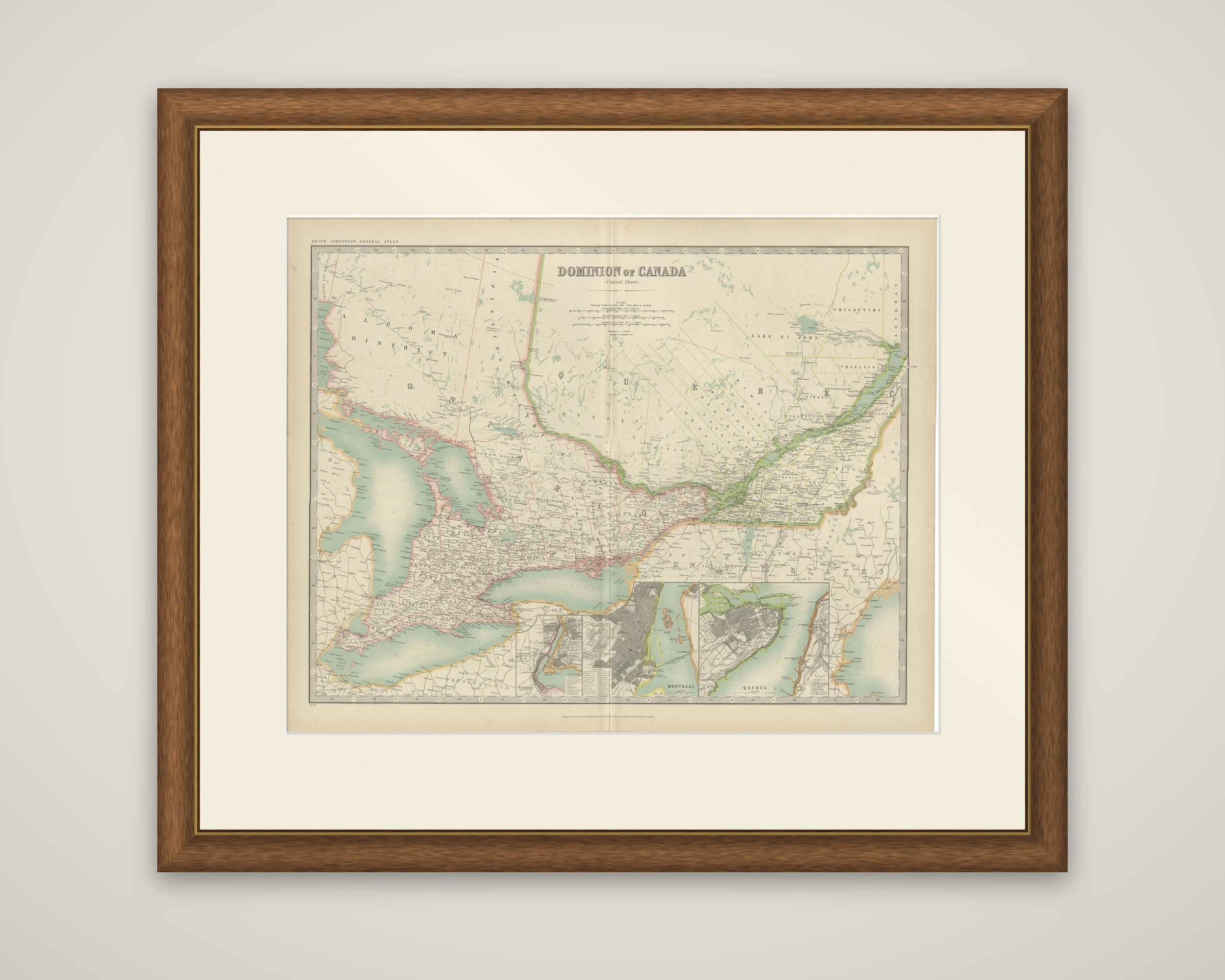
The central sheet of the Dominion of Canada, an original map from the Royal Atlas of Modern Geography, published by W. & A.K. Johnston in 1909. The sheet is printed in color, with provincial boundaries and the Great Lakes tinted, within a ruled border graduated for latitude and longitude.
Lettered "Dominion of Canada (Central Sheet)", the map covers southern Ontario and Quebec, from the Algoma district and the north shore of Lake Huron across Georgian Bay, Lake Erie and Lake Ontario to the St. Lawrence and the Lake St. John country. Towns, railways and county divisions are thickly lettered in the settled southern strip along the lakes and the river, while the northern part of both provinces is left largely open. Three city insets run along the lower edge: Niagara, Montreal and Quebec, the last two drawn as street plans showing the harbors and the surrounding districts.
The sheet belongs to a set that divides the Dominion into regional sheets, and this one takes in the most densely settled and industrial part of the country in the years before the First World War.