Exploring South America's North: Antique Map from the Royal Atlas of 1909
€ 250
Original antique · The actual sheet photographed · Certificate of authenticity on request · Sold unframed · Worldwide shipping from € 15 (rates)
Date
1909
Sheet size
49.5 × 62 cm (19.5 × 24.4 in)
Condition
Good
Reference
BG-12940-55
What the condition grades mean
Excellent
Bright and clean, with no faults worth mentioning.
Very good
Only light signs of age, such as faint toning.
Good
Normal signs of age for a sheet of this period: toning, some foxing, small marks or neat old repairs.
Fair
Clear faults such as staining, tears or repairs, priced to match.
Every fault we see is written in the condition note, and the whole sheet is shown uncropped in the photos.
Condition
General age-related toning. Please review the images for further condition details.
About this sheet
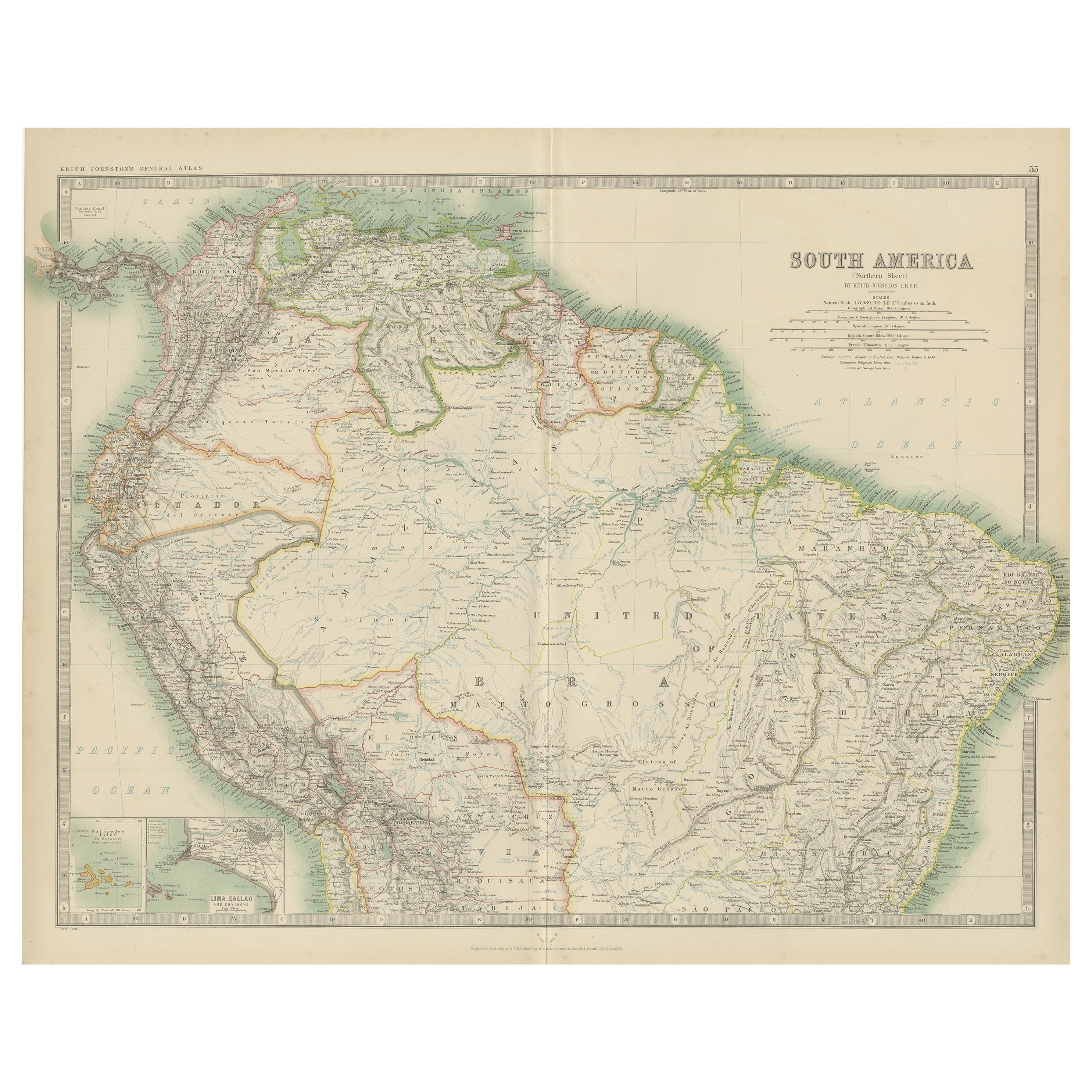
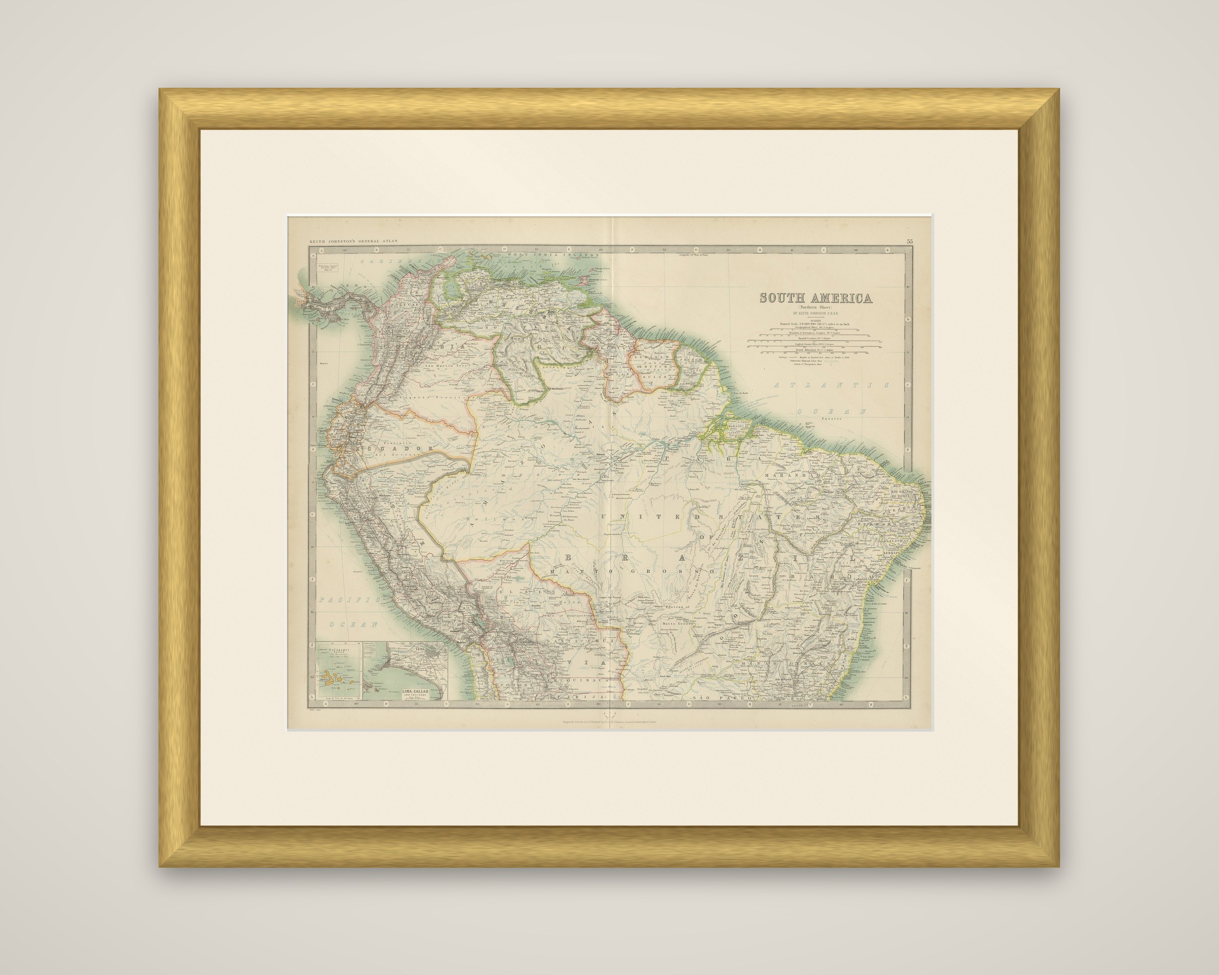
The northern sheet of South America, an original map from the Royal Atlas of Modern Geography, published by W. & A.K. Johnston in 1909. The sheet is printed in color within a ruled border graduated for latitude and longitude, with the title "South America (Northern Sheet)" lettered at upper right beside the scale bars.
The map covers the northern half of the continent: Colombia, Venezuela and the Guianas along the Caribbean coast, Ecuador and Peru on the Pacific side, and the whole Amazon basin across northern Brazil, lettered here as the United States of Brazil, with Mato Grosso and the Atlantic coast reaching to the east. Rivers, mountain ranges and railways are drawn in detail, and the Andes appear as a dense band of hachures down the western edge. Two small insets sit at the lower left: the Galapagos Isles, and a plan of Lima and Callao.
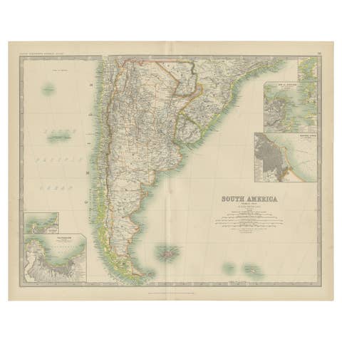
The sheet is one of a pair that together cover South America, with the southern sheet continuing the continent below.