North America · 19th century
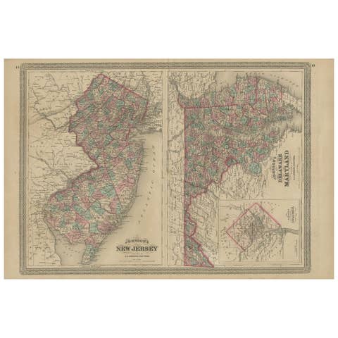
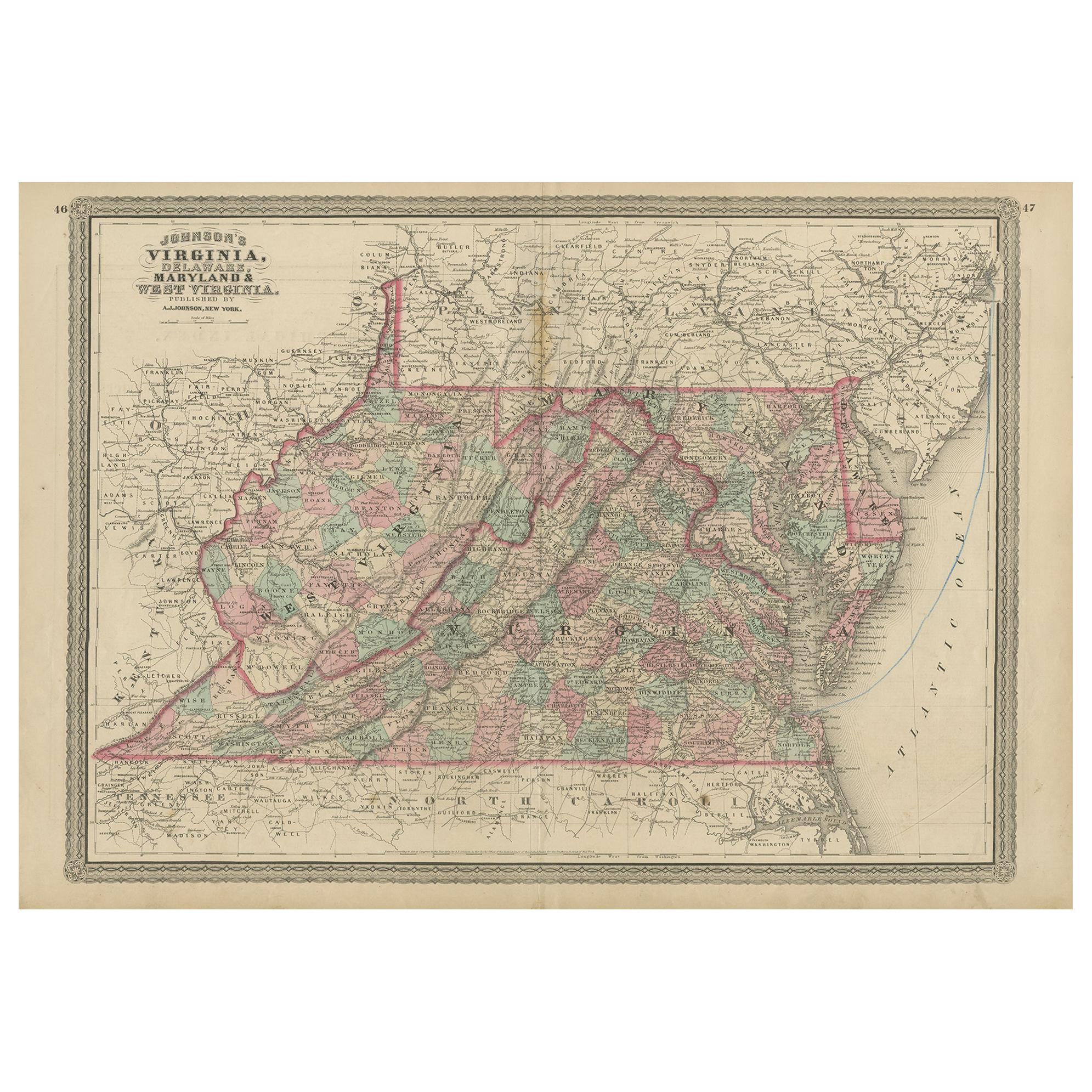
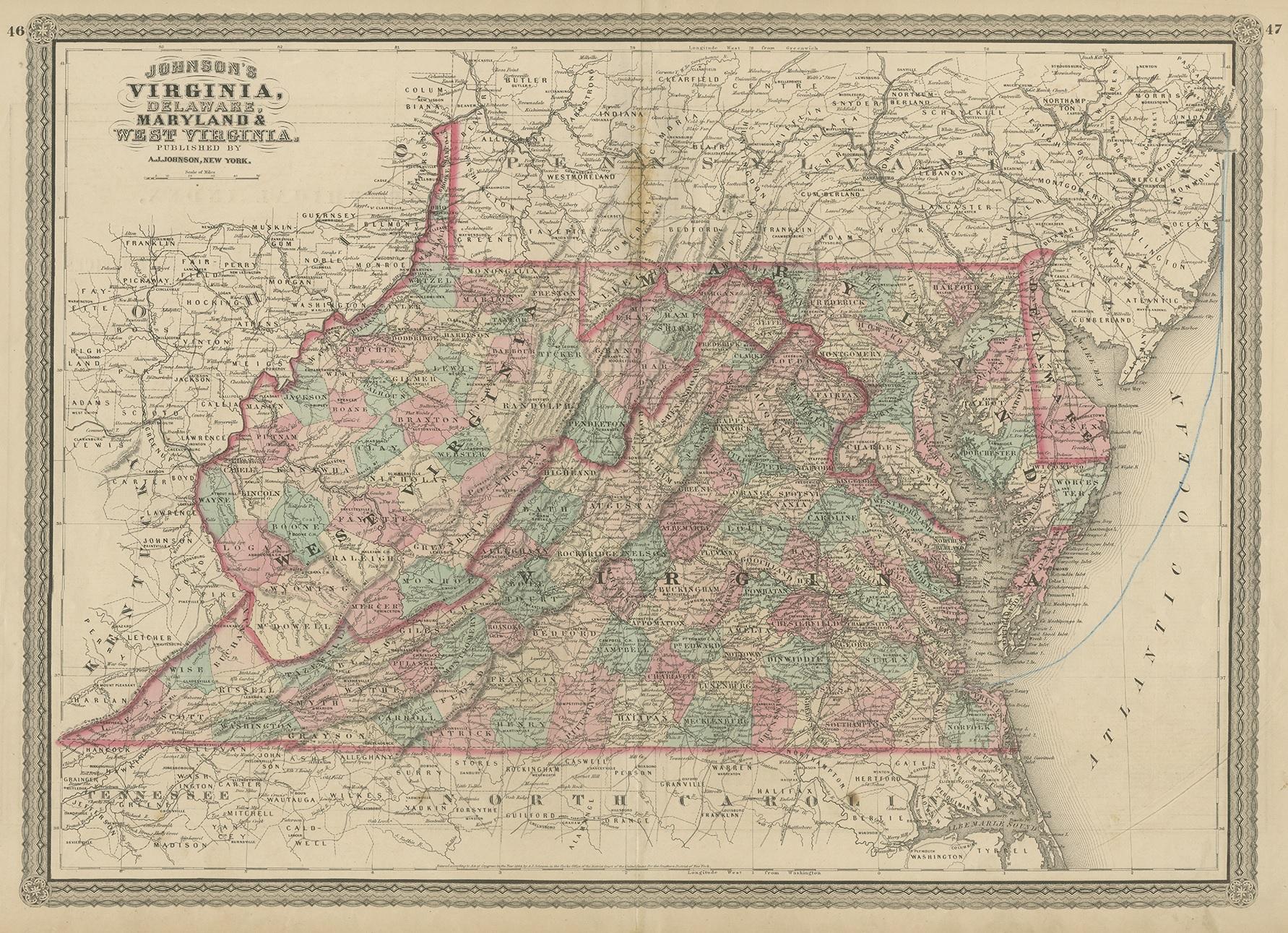
Antique Map of Virginia, Delaware, Maryland & West Virginia by Johnson, 1872
€ 250
One of a kind: this is the sheet in the photographs. Ships from Langweer, the Netherlands.
- Date
- 1872
- Sheet size
- 46 × 67 cm (18.1 × 26.4 in)
- Condition
- Fair
- Reference
- BG-12592-40
Condition
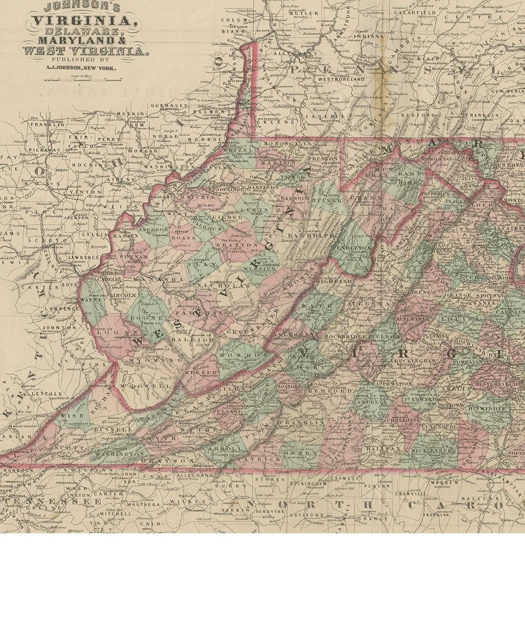
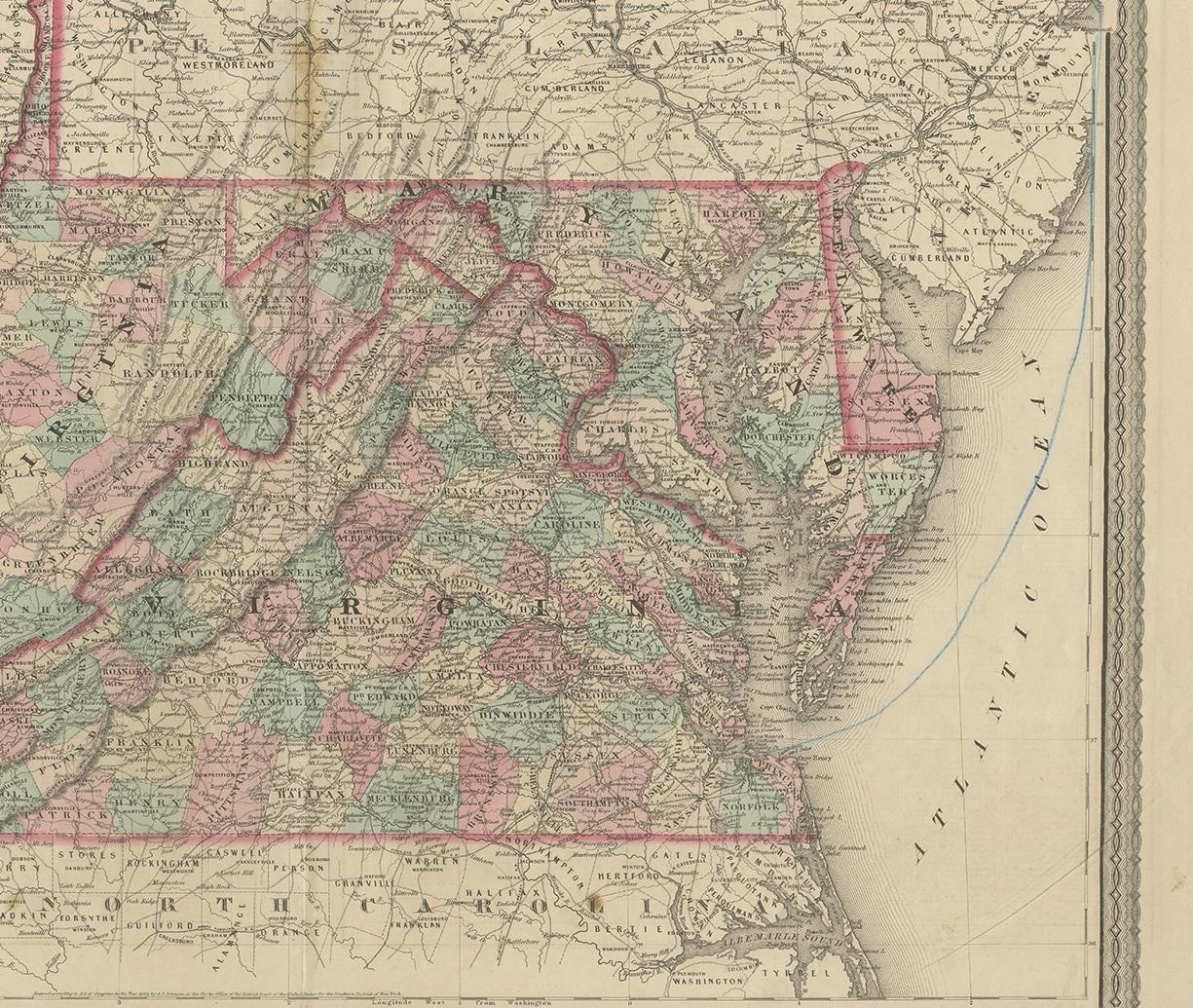
Blue pencil line in Atlantic Ocean. General age-related toning, shows minor wear and creasing. Some soiling. Original folding line. English text on verso. Please study images carefully.