Antique Map of Arkansas, Mississippi and Louisiana by Johnson, 1872
€ 250
Original antique · The actual sheet photographed · Certificate of authenticity on request · Sold unframed · Worldwide shipping from € 15 (rates)
Date
1872
Sheet size
67 × 46 cm (26.4 × 18.1 in)
Condition
Fair
Reference
BG-12592-44
What the condition grades mean
Excellent
Bright and clean, with no faults worth mentioning.
Very good
Only light signs of age, such as faint toning.
Good
Normal signs of age for a sheet of this period: toning, some foxing, small marks or neat old repairs.
Fair
Clear faults such as staining, tears or repairs, priced to match.
Every fault we see is written in the condition note, and the whole sheet is shown uncropped in the photos.
Condition
General age-related toning, shows minor wear and creasing. Some soiling. Original folding line. English text on verso. Please review the images for further condition details.
About this sheet
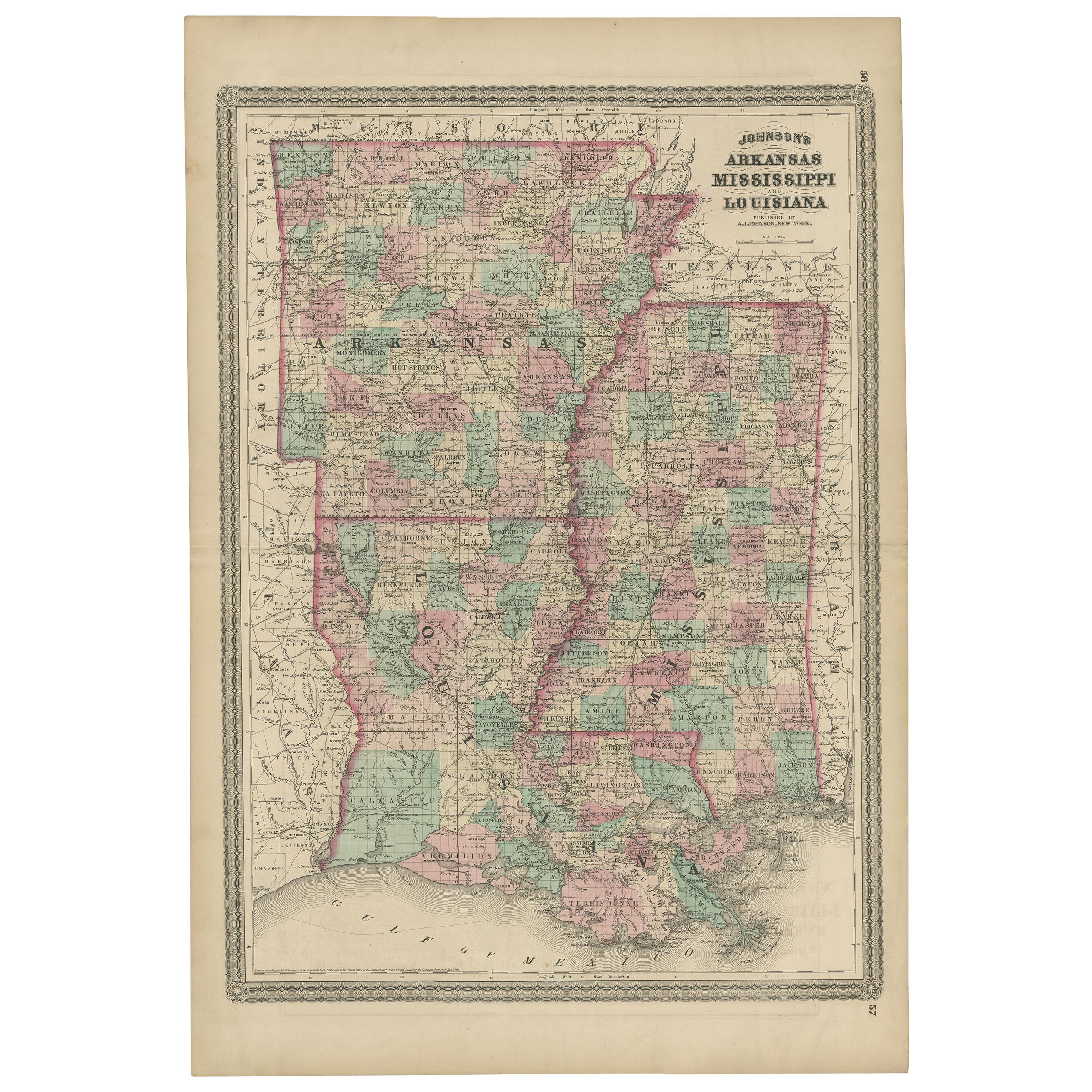
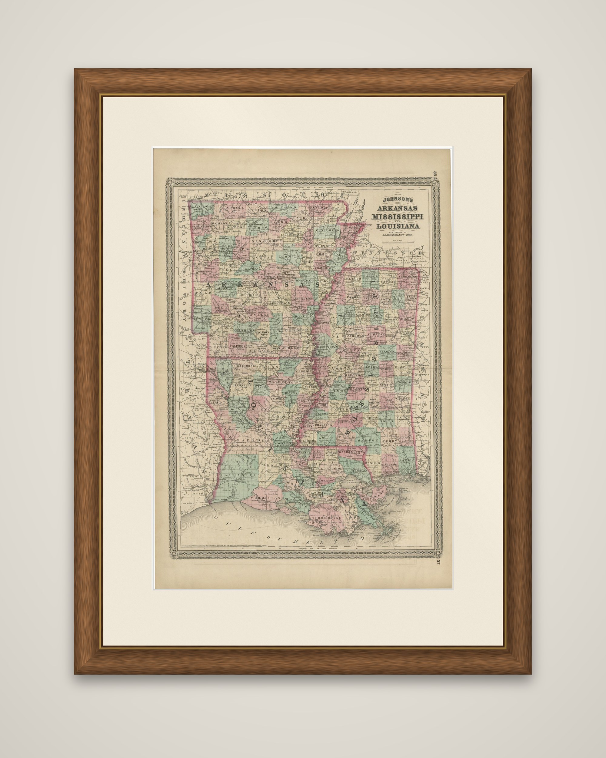
Arkansas, Mississippi and Louisiana on a single sheet, an original map from Johnson's New Illustrated Family Atlas of the World, published by A.J. Johnson of New York, dated 1872. The sheet is printed in black with each county outlined and tinted in pink, green and yellow, within a decorative ruled border.
The title block at the upper right reads "Johnson's Arkansas, Mississippi and Louisiana, published by A.J. Johnson, New York." The three states are drawn one above the other, with Arkansas across the top, Louisiana below it and Mississippi running down the right-hand side. The Mississippi River winds along the shared boundaries, and its delta spreads into the Gulf of Mexico at the foot of the sheet. County seats, towns, rivers and railroad lines are marked throughout, and parts of the neighboring states of Missouri, Tennessee and Texas appear along the margins.
The map belongs to the post-Civil War generation of American atlases, when county-level detail and railroad networks were the main selling points of a state map. The sheet carries its original atlas page numbers in the upper and lower corners.