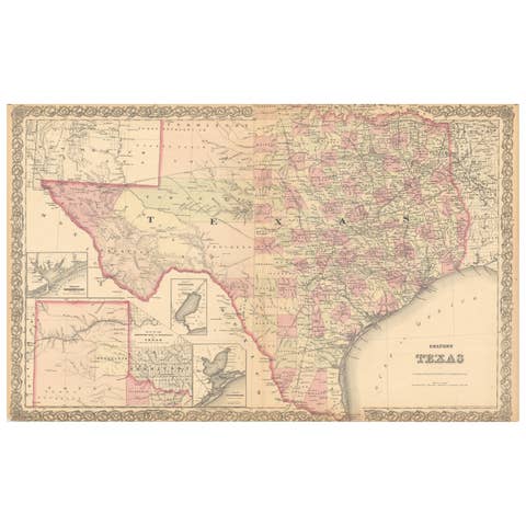
Original antique · The actual sheet photographed · Certificate of authenticity on request · Sold unframed · Worldwide shipping from € 15 (rates)
Date
1872
Sheet size
46 × 67 cm (18.1 × 26.4 in)
Condition
Fair
Reference
BG-12592-49
What the condition grades mean
Excellent
Bright and clean, with no faults worth mentioning.
Very good
Only light signs of age, such as faint toning.
Good
Normal signs of age for a sheet of this period: toning, some foxing, small marks or neat old repairs.
Fair
Clear faults such as staining, tears or repairs, priced to match.
Every fault we see is written in the condition note, and the whole sheet is shown uncropped in the photos.
Condition
General age-related toning, shows minor wear and creasing. Some soiling. Original folding line. English text on verso. Please review the images for further condition details.
About this sheet
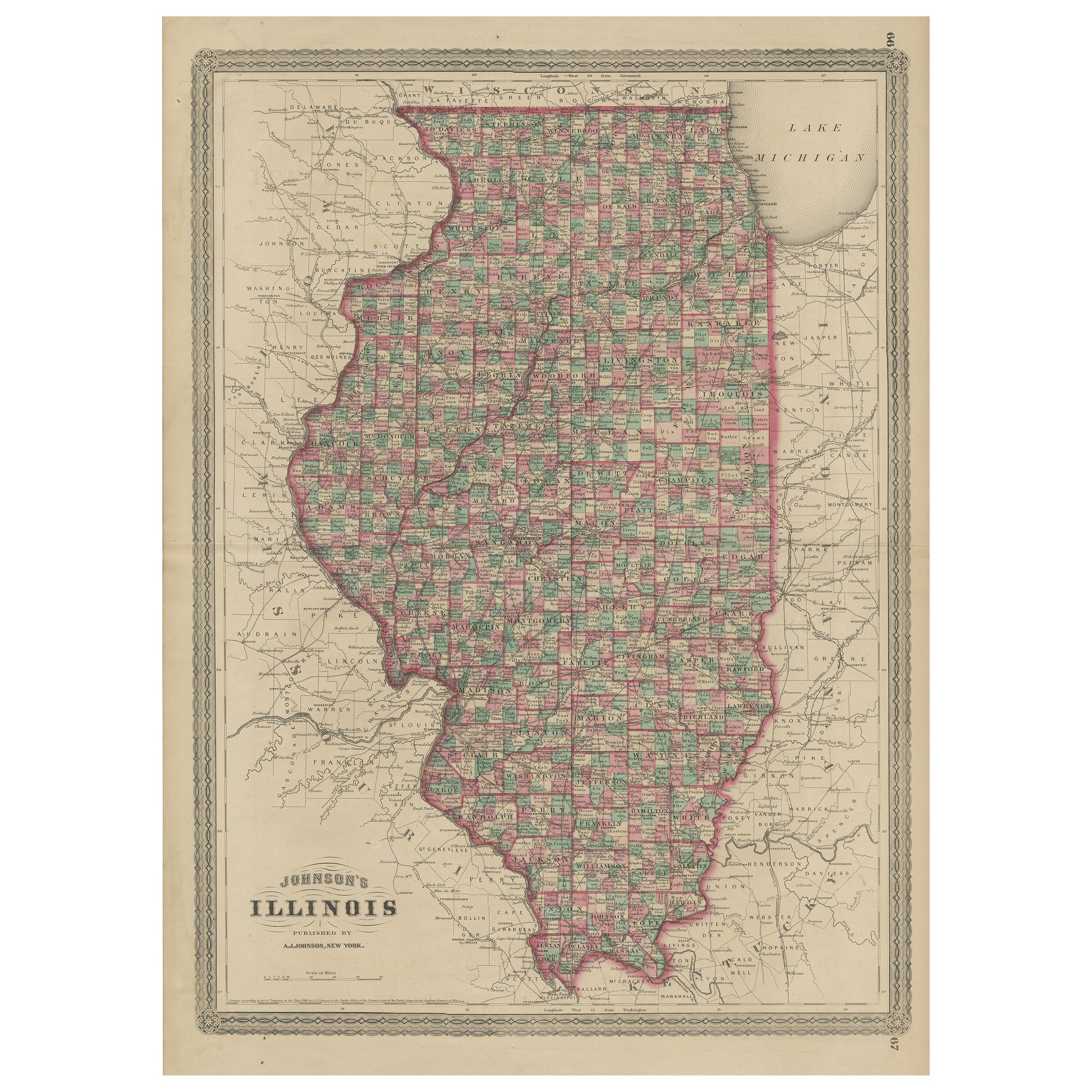
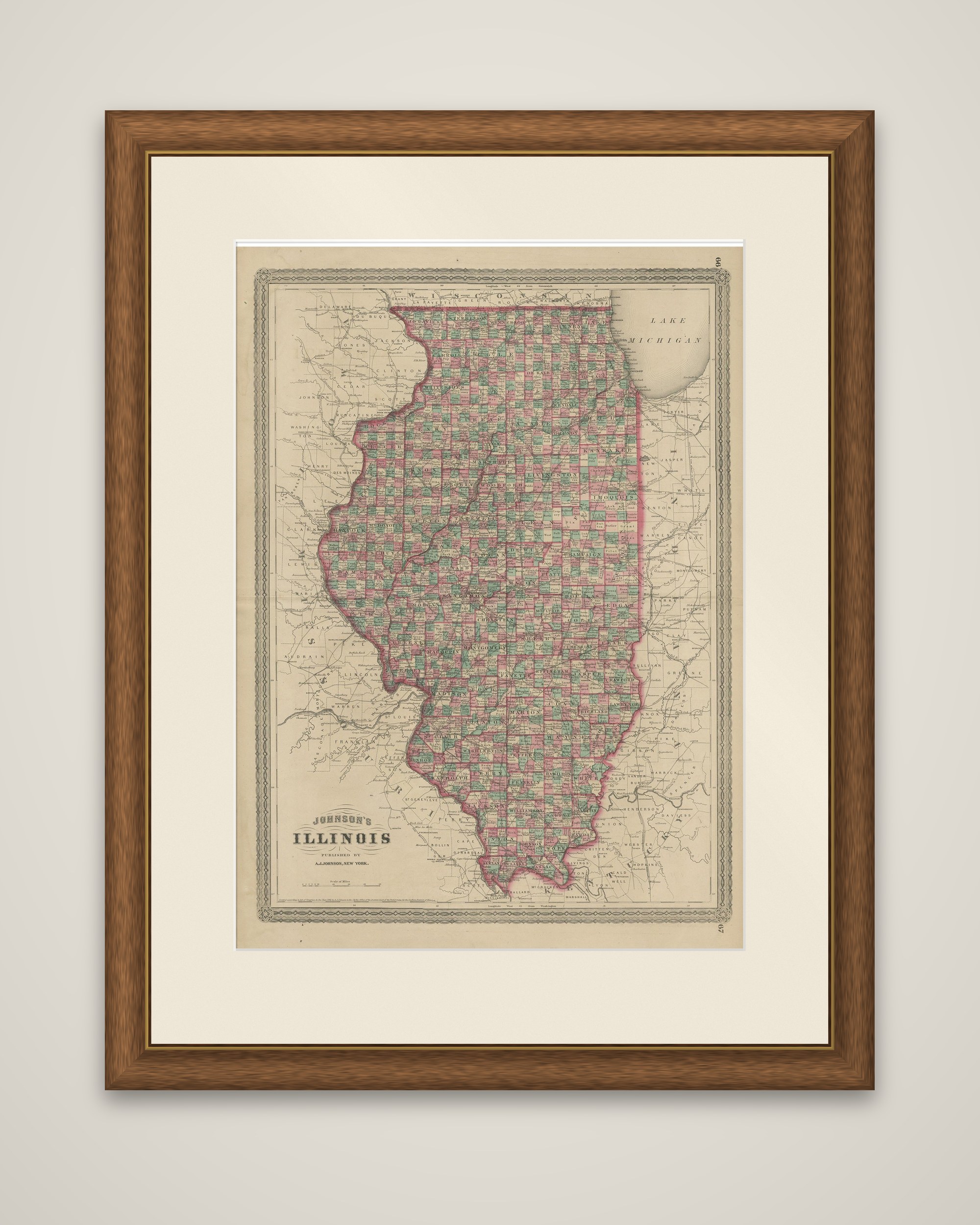
Illinois, an original map from Johnson's New Illustrated Family Atlas of the World, published by A.J. Johnson of New York, dated 1872. The sheet is printed in black with the counties outlined and tinted in pink, green and yellow, set within a decorative ruled border.
The state fills the sheet from the Wisconsin line at the top to the confluence of the Ohio and Mississippi rivers at its southern tip. The title "Johnson's Illinois, published by A.J. Johnson, New York" is lettered at the lower left, and Lake Michigan appears at the upper right. Illinois is divided into a dense pattern of small counties, each with its county seat and the surrounding towns, and railroad lines cross the state, many of them converging on Chicago at the southern end of the lake. The Mississippi forms the western boundary against Iowa and Missouri, and the Wabash and Ohio rivers mark the eastern and southern edges. Parts of Wisconsin, Indiana, Kentucky and Missouri are shown in the margins.
The atlas page numbers are printed in the corners of the sheet.