maps-prints.com
✦
Black Friday Sale
Friday 20 to Monday 30 November: up to 30% off original antique maps and prints
The terms
- Up to 30% off selected original antique maps and prints. Every piece is an original, printed in its own time; none is a reproduction.
- The sale runs from Friday 20 November to Monday 30 November. Sale prices shown here apply from Friday 20 November; until then pieces are sold at their regular price.
- Free FedEx shipping on qualifying orders placed on our own websites: USA, Canada, UK and Europe over $500 / €450; rest of the world over $750 / €675. Smaller orders pay our normal shipping rate.
- Orders placed from 15 to 30 November ship from 1 December, in time for Christmas. Our shipping partner is InXpress.
- Each piece is unique, so the sale is while stock lasts.
Collection:AllAmericanSea chartsMilitaryNatural historyFashionArchitectureBotanicalSacredEast Indies
Sale prices apply from Friday 20 November. Save the pieces you like with the heart and come back on Friday.
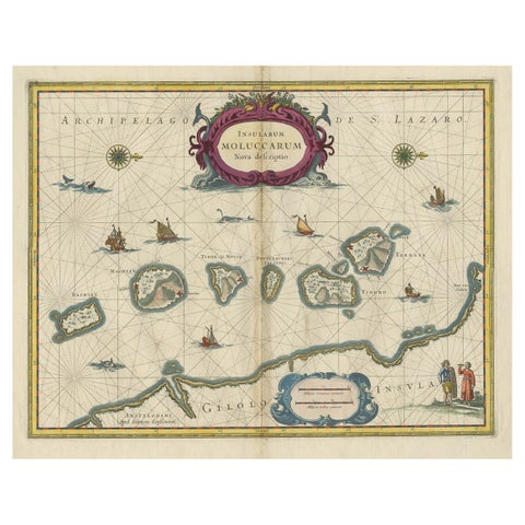 Beautiful Antique Map of the Moluccas or Spice Islands, Indonesia, ca.1650
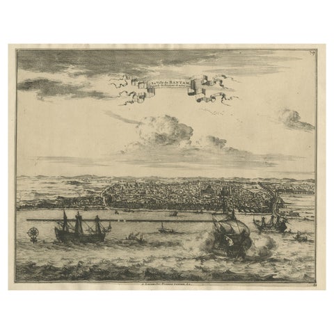 View of the City Banten or Bantam Near the Western End of Java, Indonesia, c1725
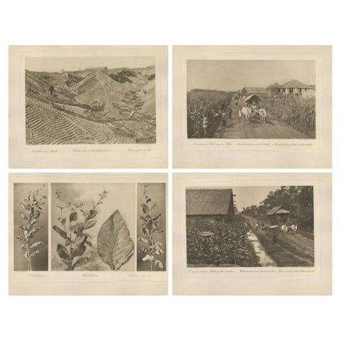 Set of 4 Tobacco Industry Photogravures – Sumatra’s O.K., C.J. Kleingrothe, 1910
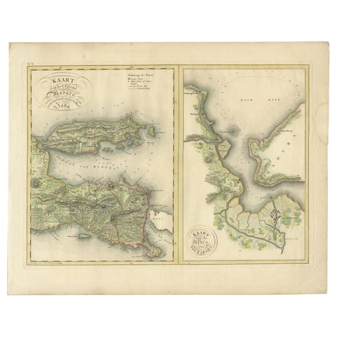 Antique Map of Madura and Surabaya by Van den Bosch, '1818'
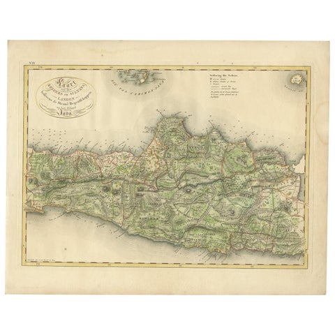 Antique Map of Central and East Java by Van den Bosch, 1818
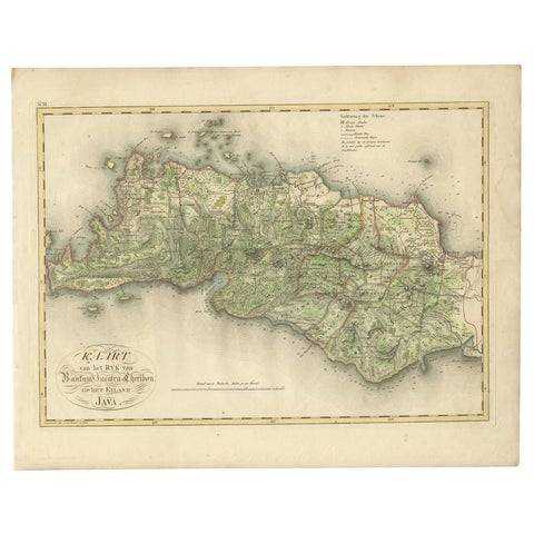 Antique Map of Bantam, Jakarta and Cirebon by Van den Bosch '1818'
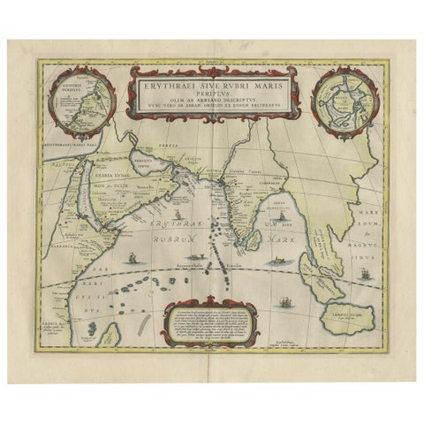 Old Map of Ancient Times covering Egypt Towards Arabia and India to Java, c.1660
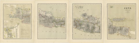 Four Antique Java Maps with Batavia Plan – Dutch East Indies Wall Set 1880s
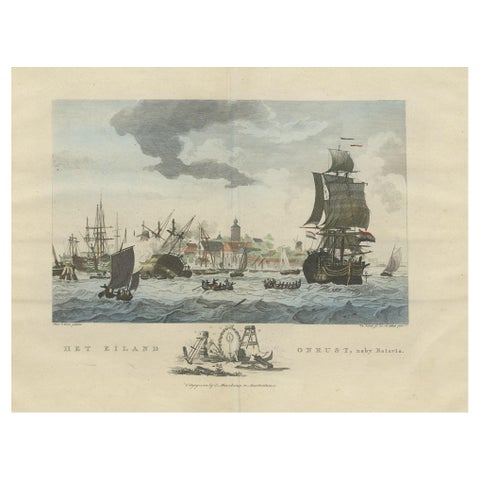 Beautiful View of Pulau 'Island' Onrust, Batavia 'Jakarta, Indonesia', ca.1805
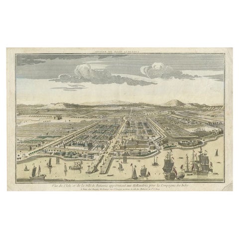 Antique Print of Batavia or nowadays Jakarta, Indonesia, c.1755
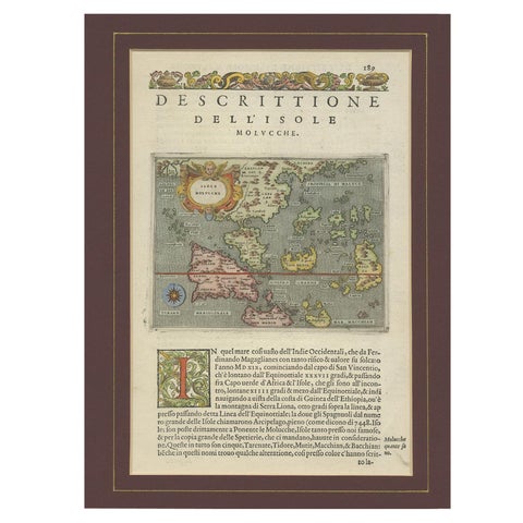 Antique Map of the Moluccas by Porcacchi, circa 1620
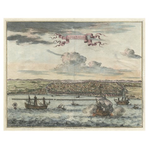 Original Antique Bird's Eye View of Banten or Bantam in Java, Indonesia, 1725
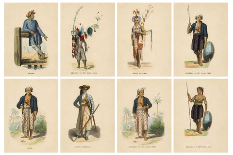 Antique Ethnographic Prints of Indonesia & Timor Islands, Set of 8, 1852
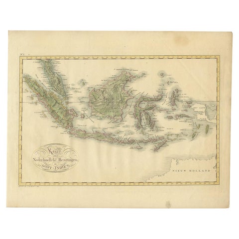 Antique Map of the Dutch East Indies by Van den Bosch '1818'
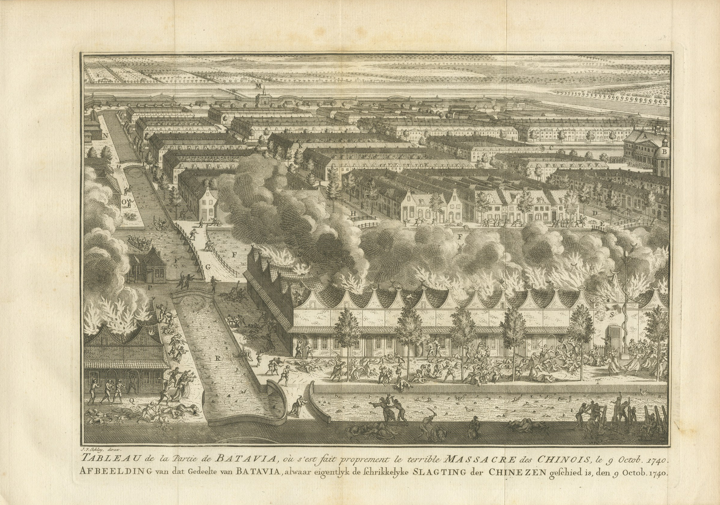 The Massacre of the Chinese at Batavia in 1740, Antique Print, circa 1750
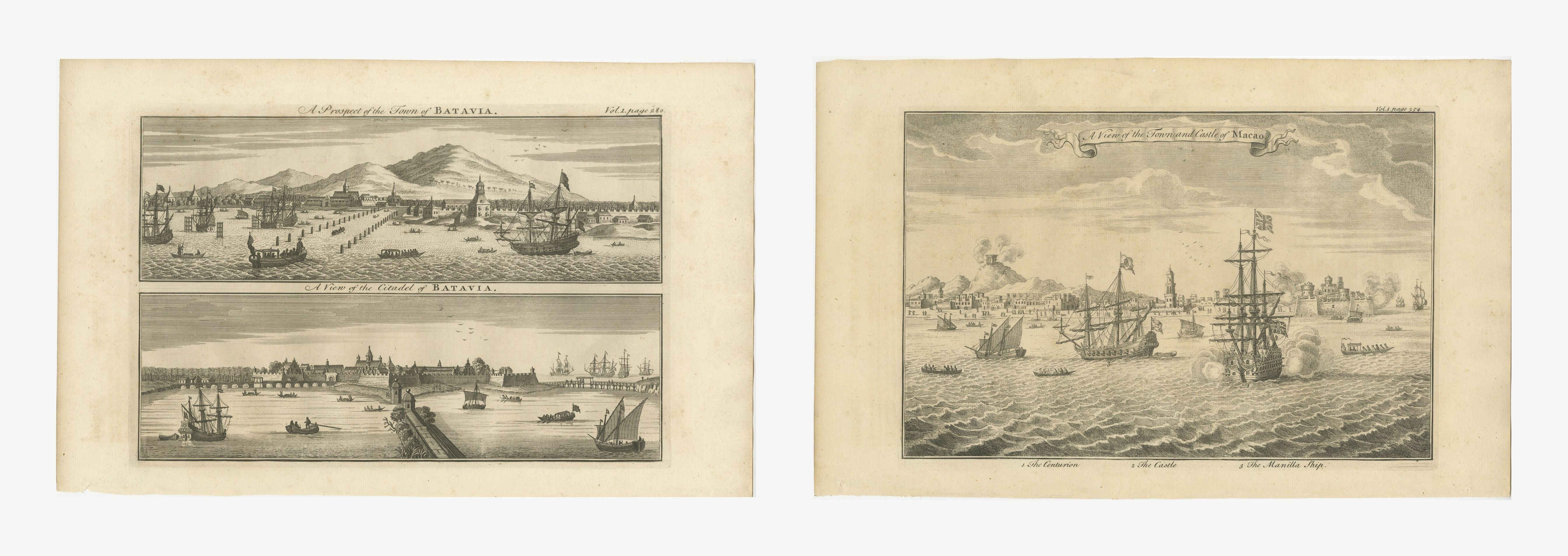 Batavia and Macao, Two Antique Views of the East Indies Trade, circa 1745
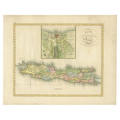 Antique Map of Java and Batavia of nowadays Indonesia, '1818'
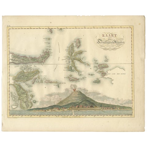 Antique Map of the Ternate Islands by Van den Bosch '1818'
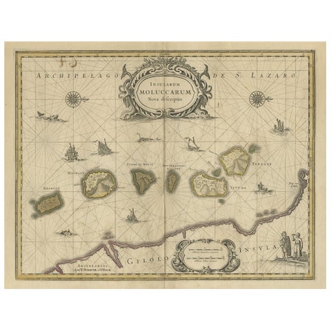 Old Map of the Moluccas, Known as the Famous Spice Islands, Indonesia, ca.1730
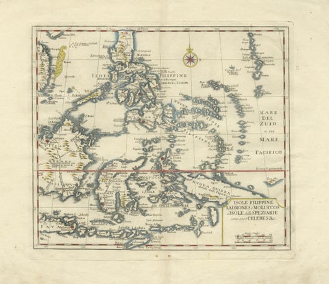 Antique Map Philippines – Moluccas, Celebes, Spice Islands – Tirion, c.1738
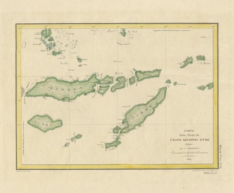 Antique Map of Flores, Timor and the Sunda Islands, French, c.1790
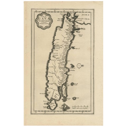 Antique Map of the Island of Java, Indonesia by P. Van Der Aa, 1713
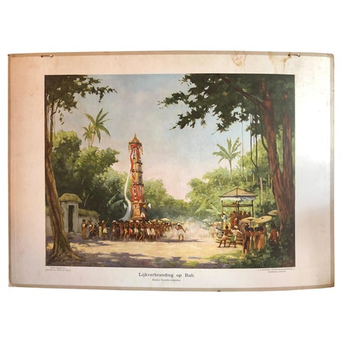 Collection of 5 Vintage School-Charts of Indonesia, Incl Bali Ritual Cremation
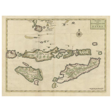 Old Antique Map of the Sumbawa, Flores, Timor in the Banda Region of Indonesia
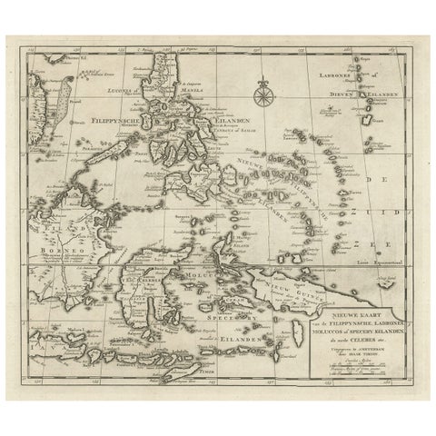 Old Map of the Philippines and Part of Indonesia 'Spice Islands', 1744
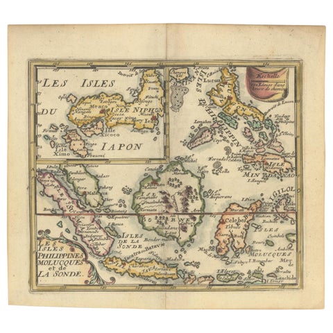 1692 Jacq. Peeters Map: East Indies, Indonesia, Japan, Philippines and Singapore
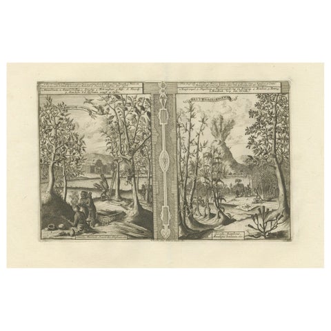 Exotic Bounty: The Spice Lands of the East Indies by R. de Hooghe, circa 1708
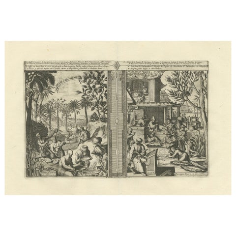 Global Harvests and Crafts: From the East Indies to Chinese Lacquerwork, c. 1708
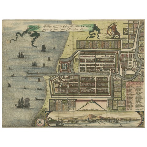 Rare 17th Century Map of Batavia and Castle on Java by Isaac de l'Obel
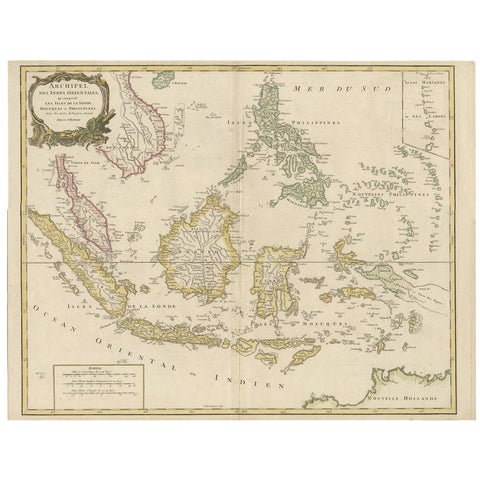 Antique Map of the Indonesian and Philippine Archipelagos by R. de Vaugondy
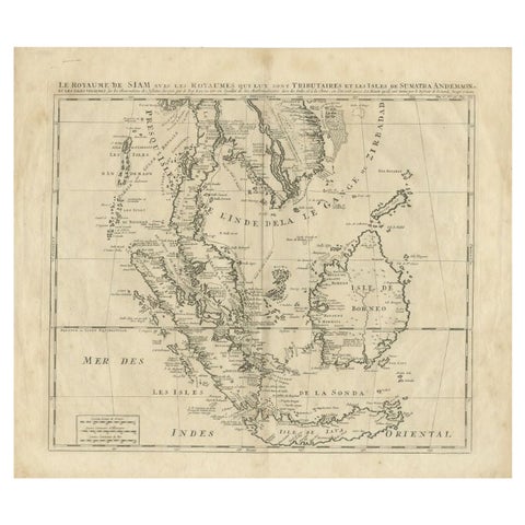 Antique Map of Southeast Asia by Chatelain, c.1732
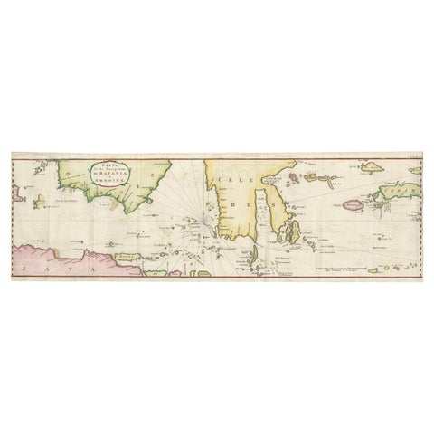 Rare Authentic Engraved Map of Large Part of Indonesia by Stavorinus, 1779
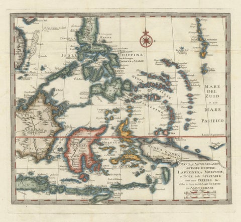 Antique Map of the Philippines & Eastern Indonesia: Spice Islands by Tirion 1738
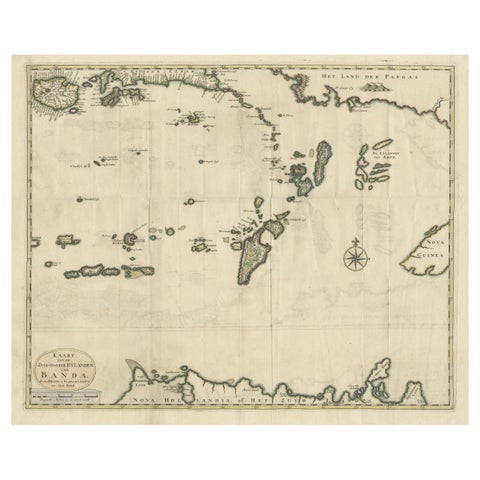 Old Antique Map of the Banda Islands (Southeast), Indonesia & Northern Australia
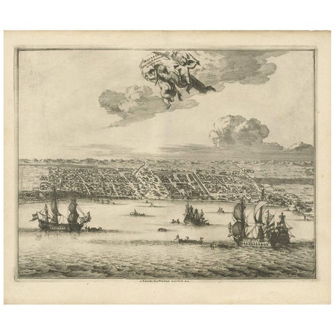 Antique Print of Makassar 'South Sulawesi, Indonesia' by P. van der Aa
Sharing the sale? Download the Black Friday banners.