Maps & PrintsBartele Gallery · Langweer
Home / Antique Maps / Europe / South-East Europe

South-East Europe

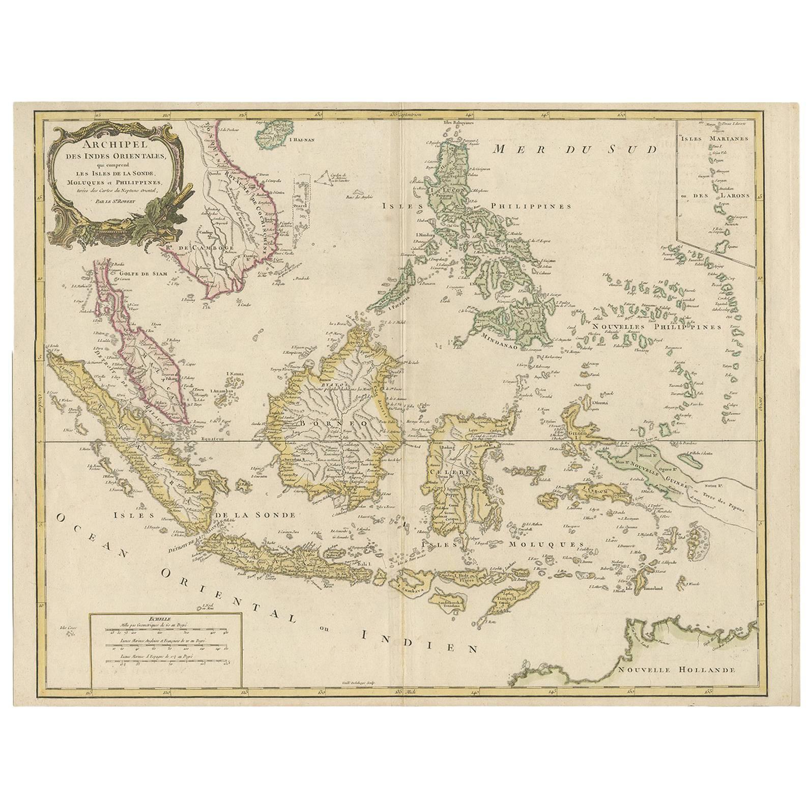
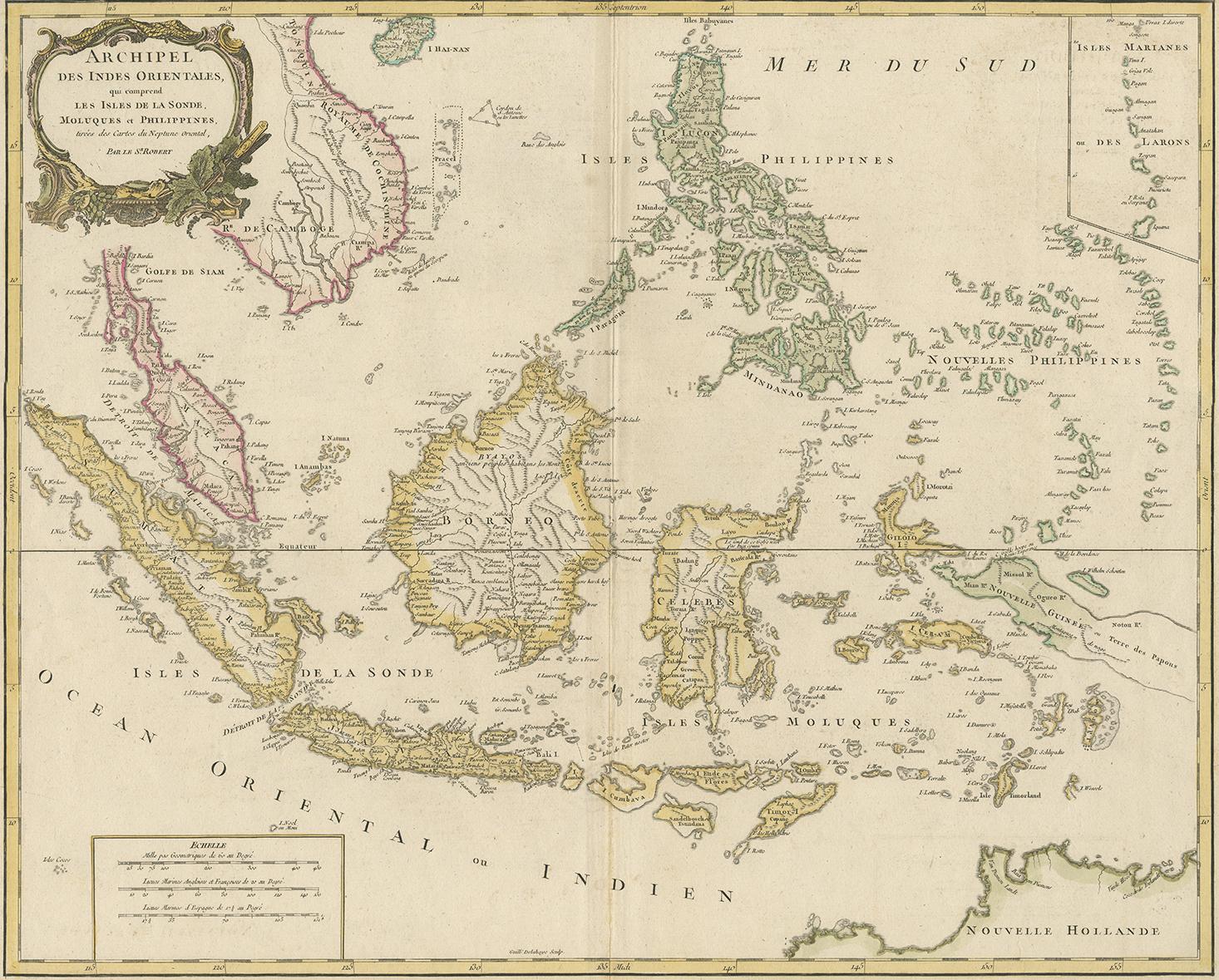
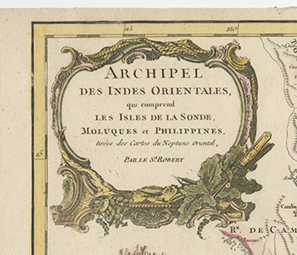
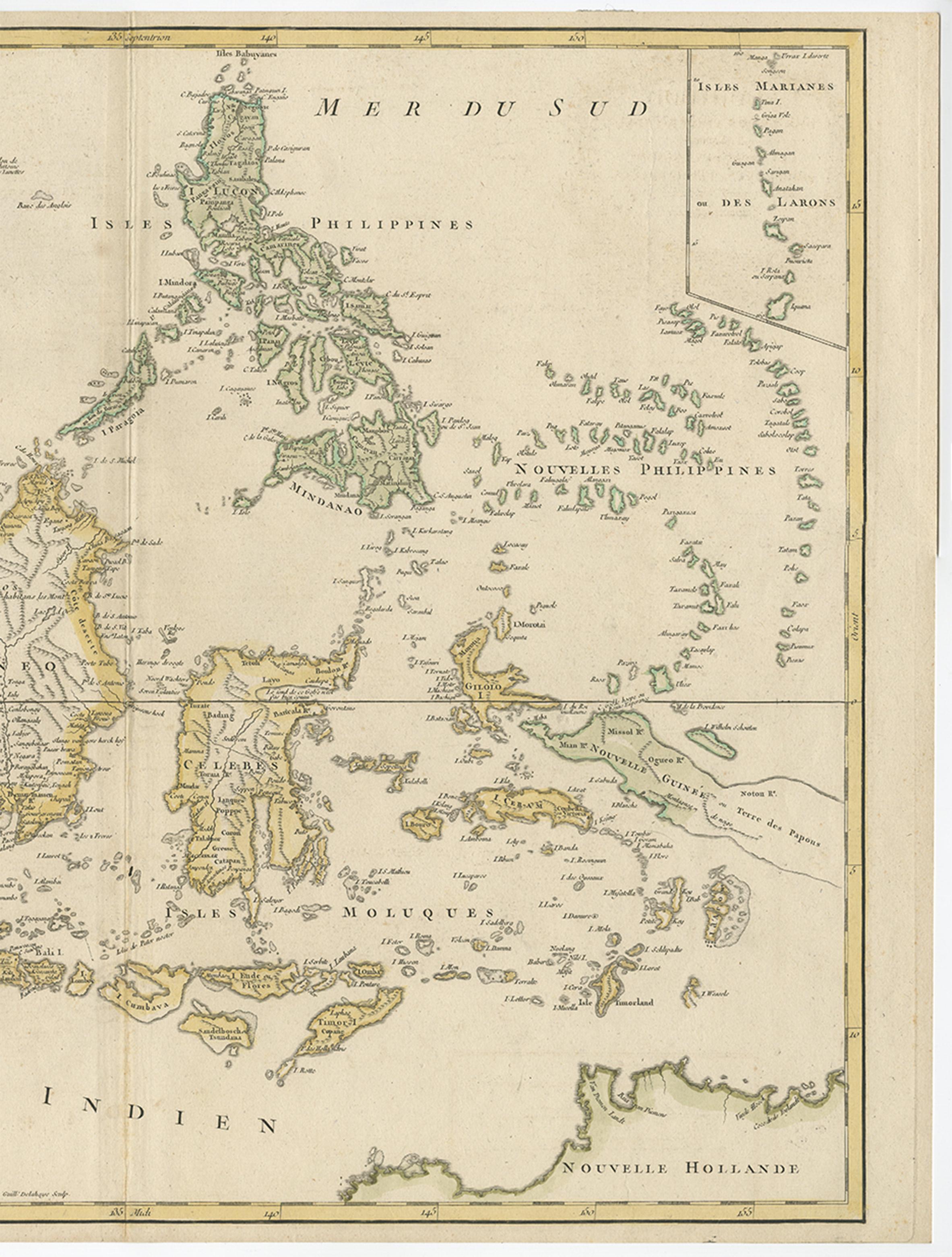
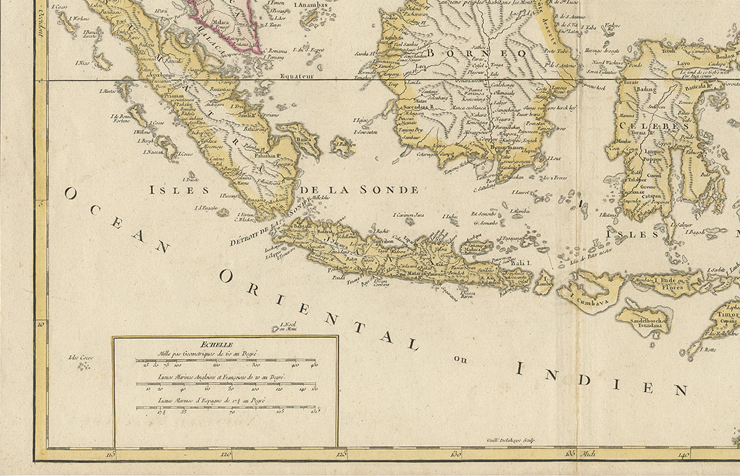
Antique Map of the Indonesian and Philippine Archipelagos by R. de Vaugondy

€ 778

One of a kind: this is the sheet in the photographs. Ships from Langweer, the Netherlands.

Sheet size
49.5 × 63.8 cm (19.5 × 25.1 in)
Condition
Good
Reference
BG-06726

Condition

good. Please study image carefully.
About this sheet

Striking and highly detailed map of the region from Sumatra and Malaca and Southern China to the Philipines, New Guinea and Northern Australia, centered on Borneo. Includes a large inset of the Marianas. Wonderful early detail, derived from the Neptune Orientale, published by the French Hydrogrphical Department in the mid-18th century.

More from South-East Europe

Ask about this sheet

Antique Map of the Indonesian and Philippine Archipelagos by R. de Vaugondy
Ref. BG-06726 · € 778
We reply by email, usually within one working day.