
Maps & PrintsBartele Gallery · Langweer
Home / Antique Maps / Europe / Northern Europe

Northern Europe · 18th century

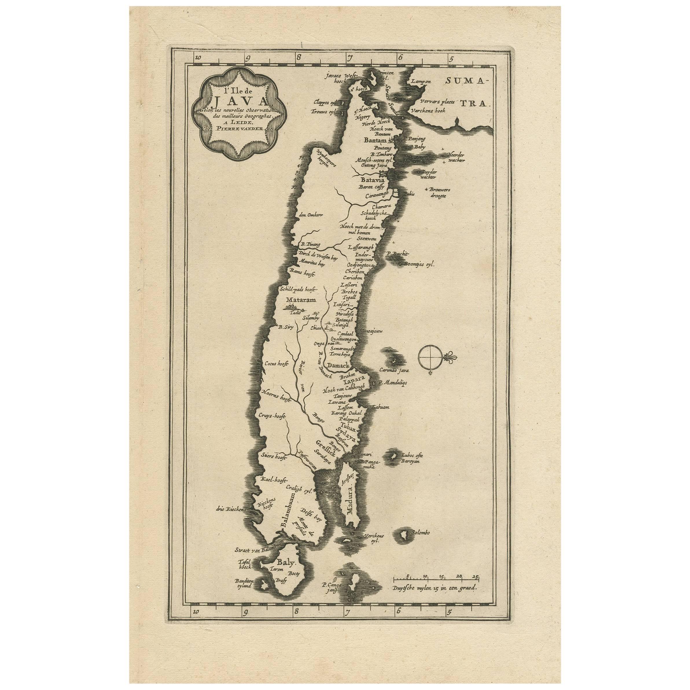
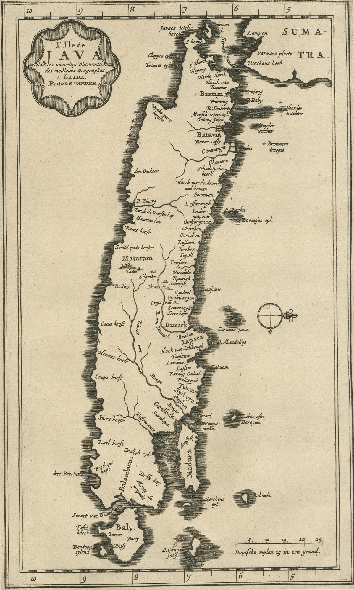
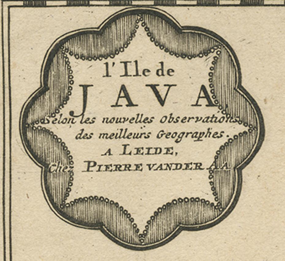
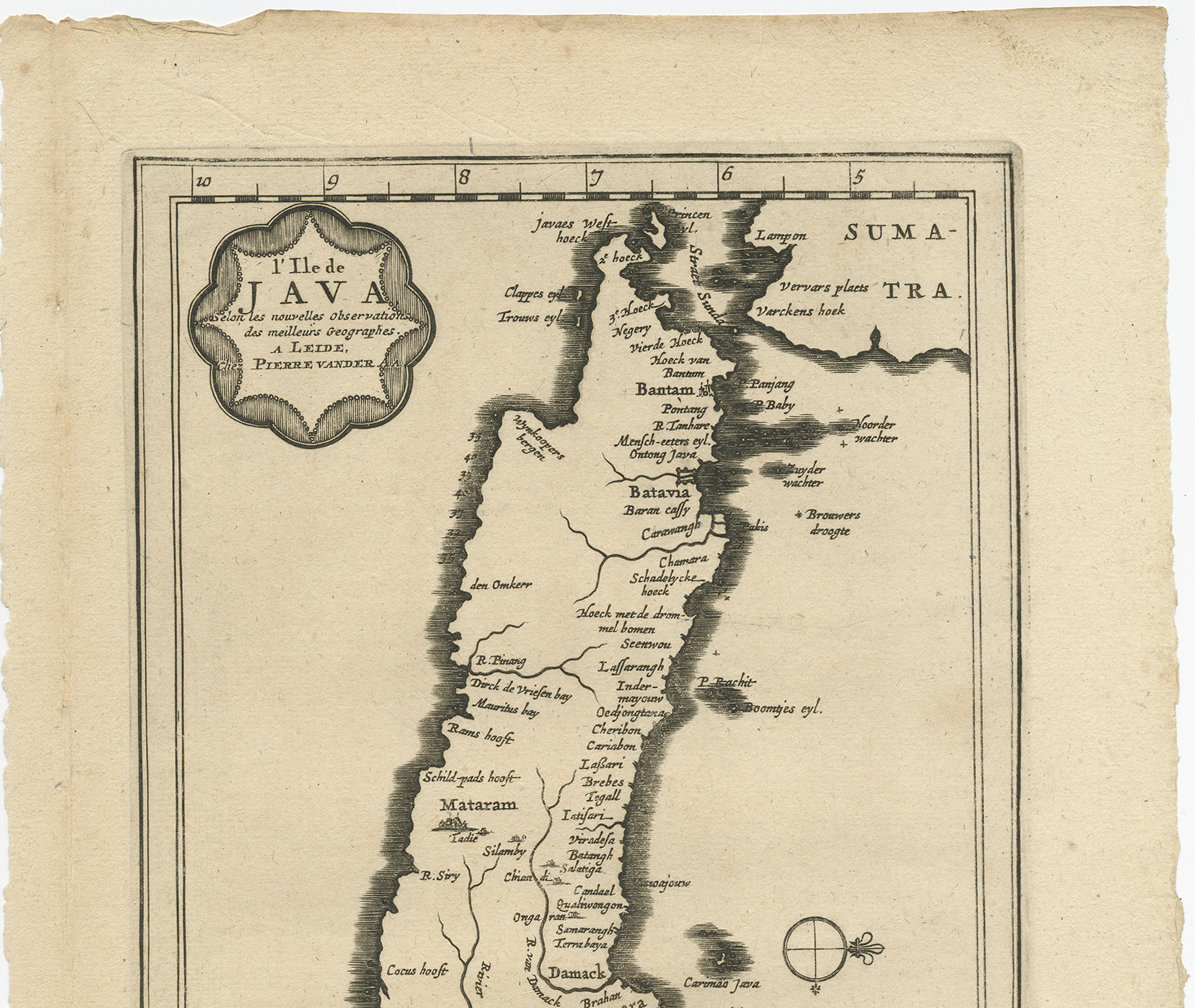
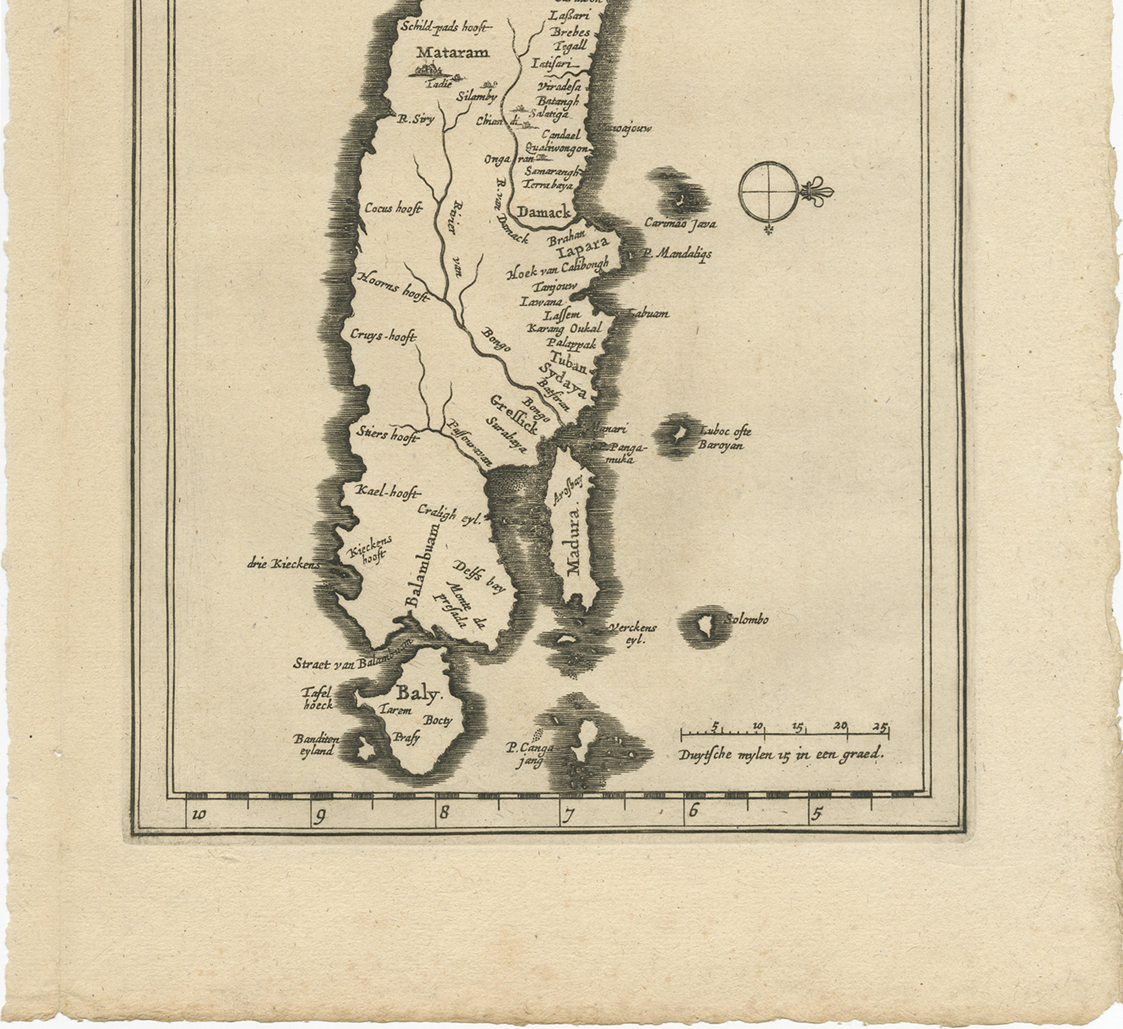
Antique Map of the Island of Java, Indonesia by P. Van Der Aa, 1713

€ 680

One of a kind: this is the sheet in the photographs. Ships from Langweer, the Netherlands.

Date
1713
Sheet size
32.8 × 21.3 cm (12.9 × 8.4 in)
Condition
Good
Reference
BG-04168

Condition

Please study image carefully.
About this sheet

This rare map shows the Indonesian island of Java. With compass rose and scale. From: Nouvel Atlas, très exact et fort commode pour toutes sortes de personnes, Contenant Les Principales cartes géographiques. Leiden, P. Van der Aa, n.d. (1713).

More from Northern Europe

Ask about this sheet

Antique Map of the Island of Java, Indonesia by P. Van Der Aa, 1713
1713 · Ref. BG-04168 · € 680
We reply by email, usually within one working day.