About this sheet
Four Antique Java Maps with Batavia Plan – Dutch East Indies Wall Set 1880s
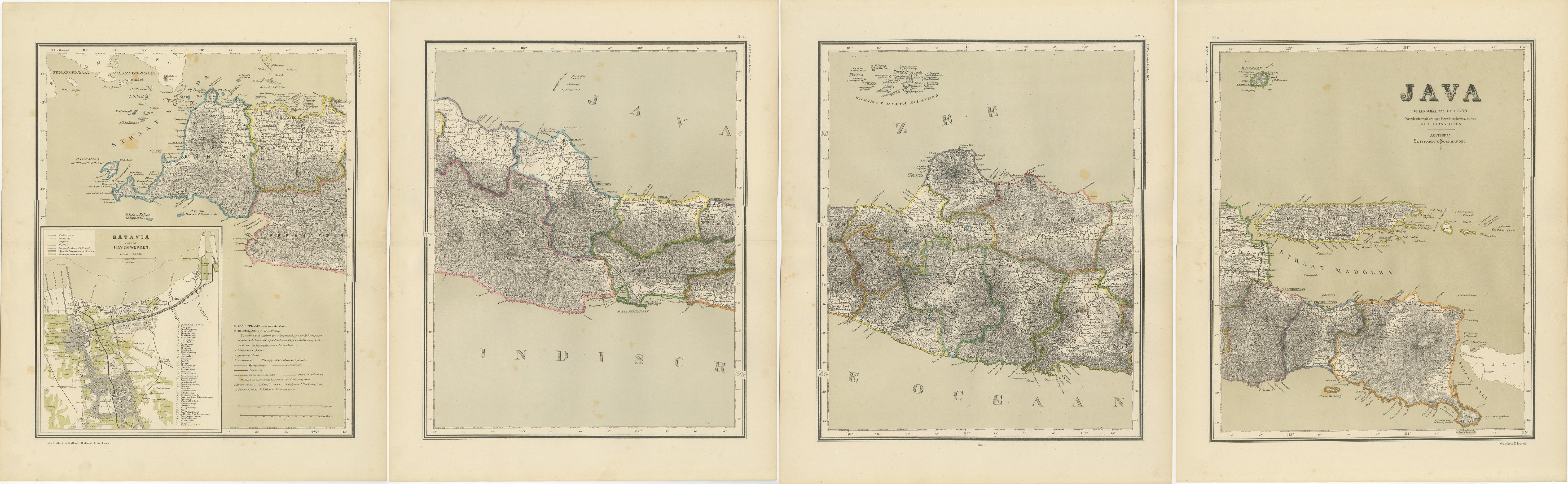
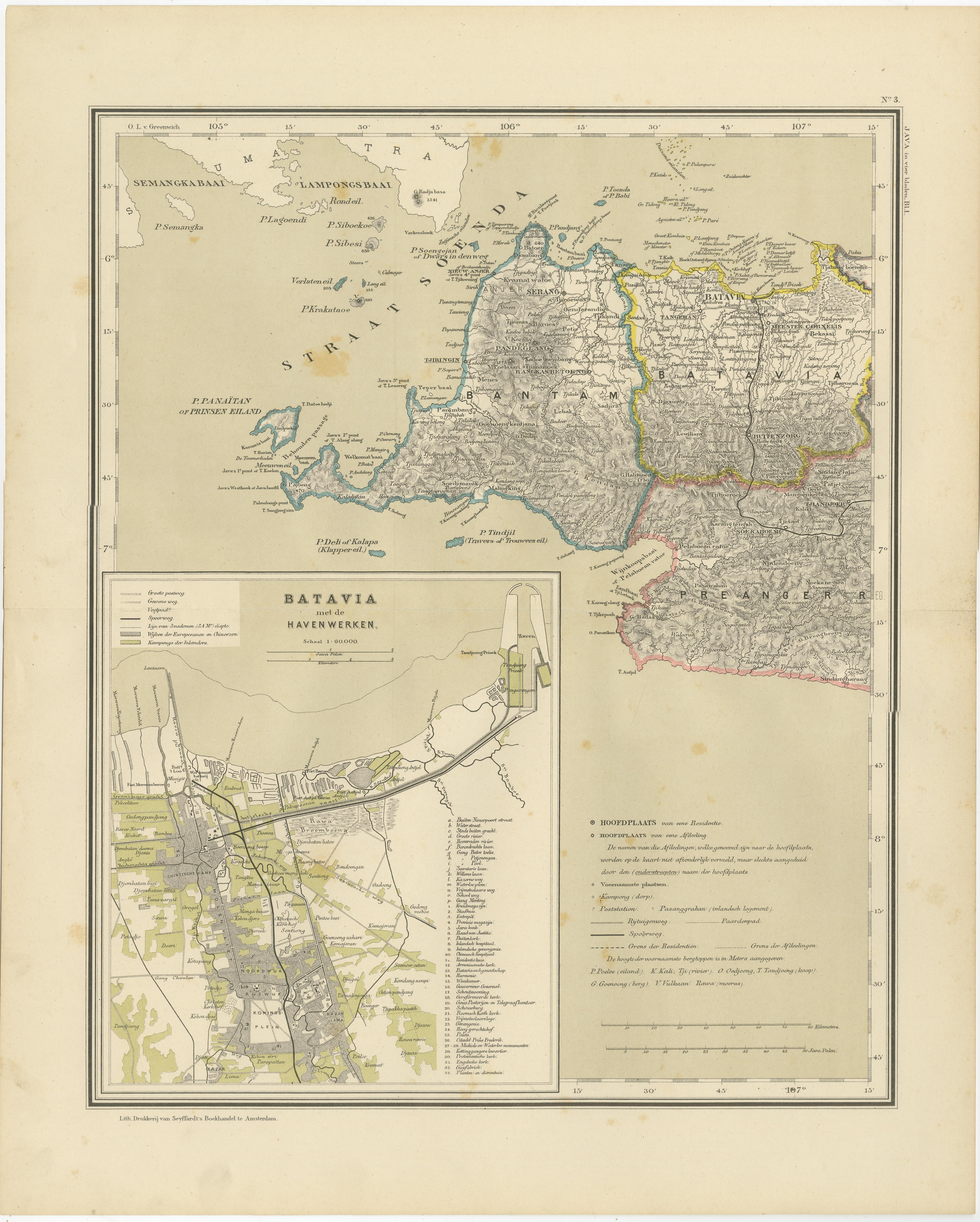
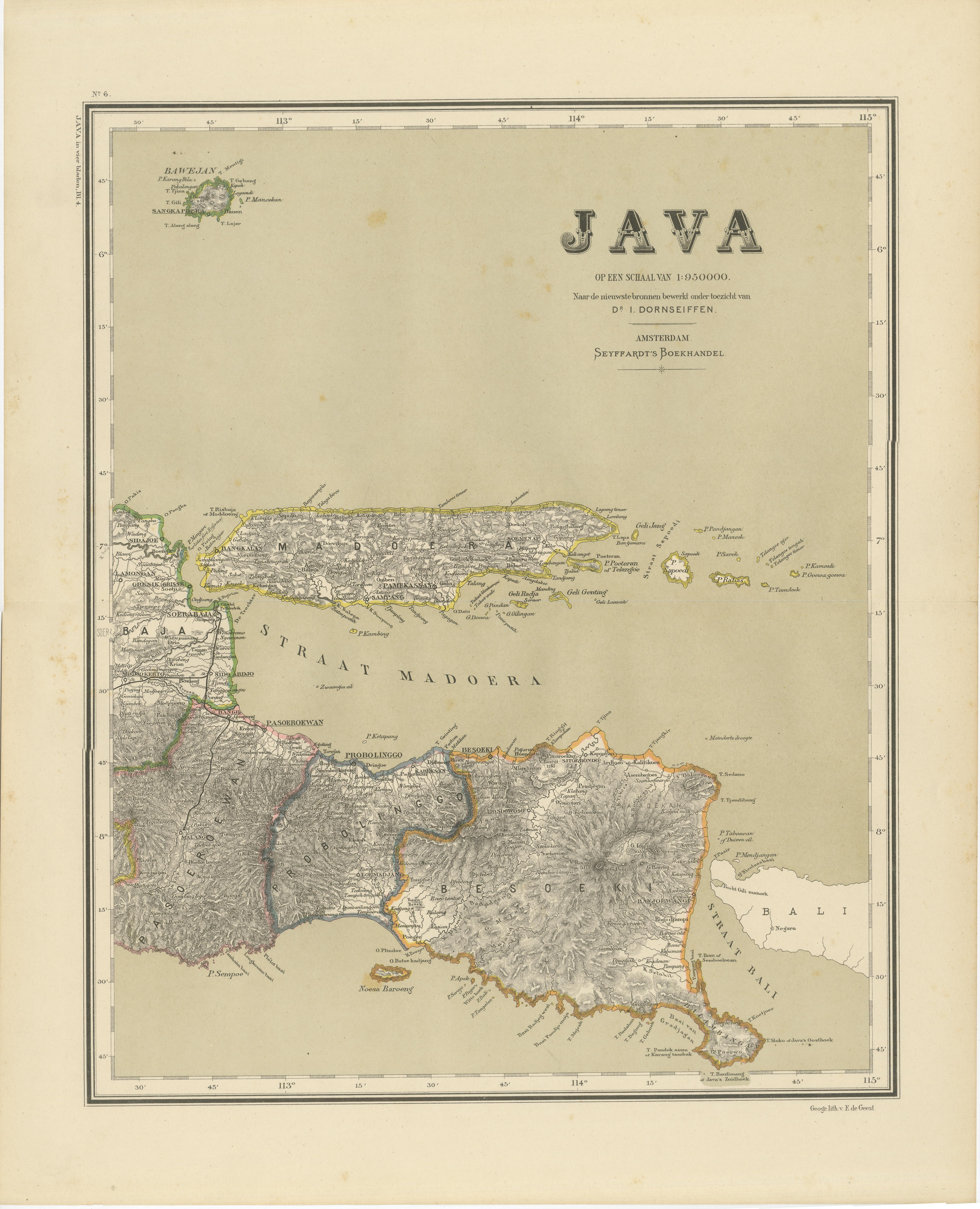
This impressive four-map wall set presents a continuous late 19th-century visual survey of the island of Java and its surrounding regions during the height of the Dutch colonial period. The group consists of four original hand-coloured maps that together form a sweeping geographic overview of West, Central, and East Java, including a detailed inset plan of Batavia with its harbour works and urban layout. We sell this set unframed. The attached views in frame are only samples of how it can look like!
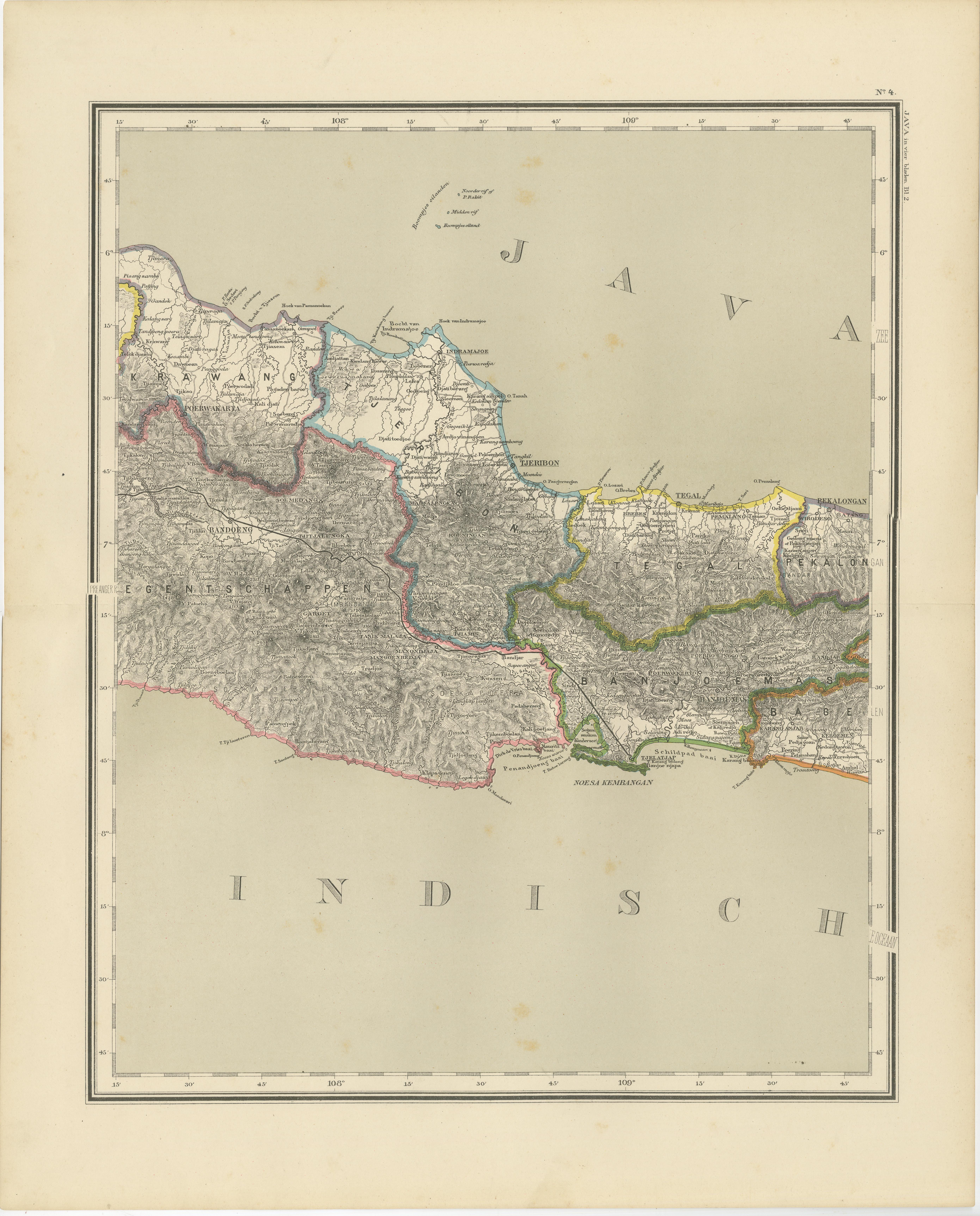
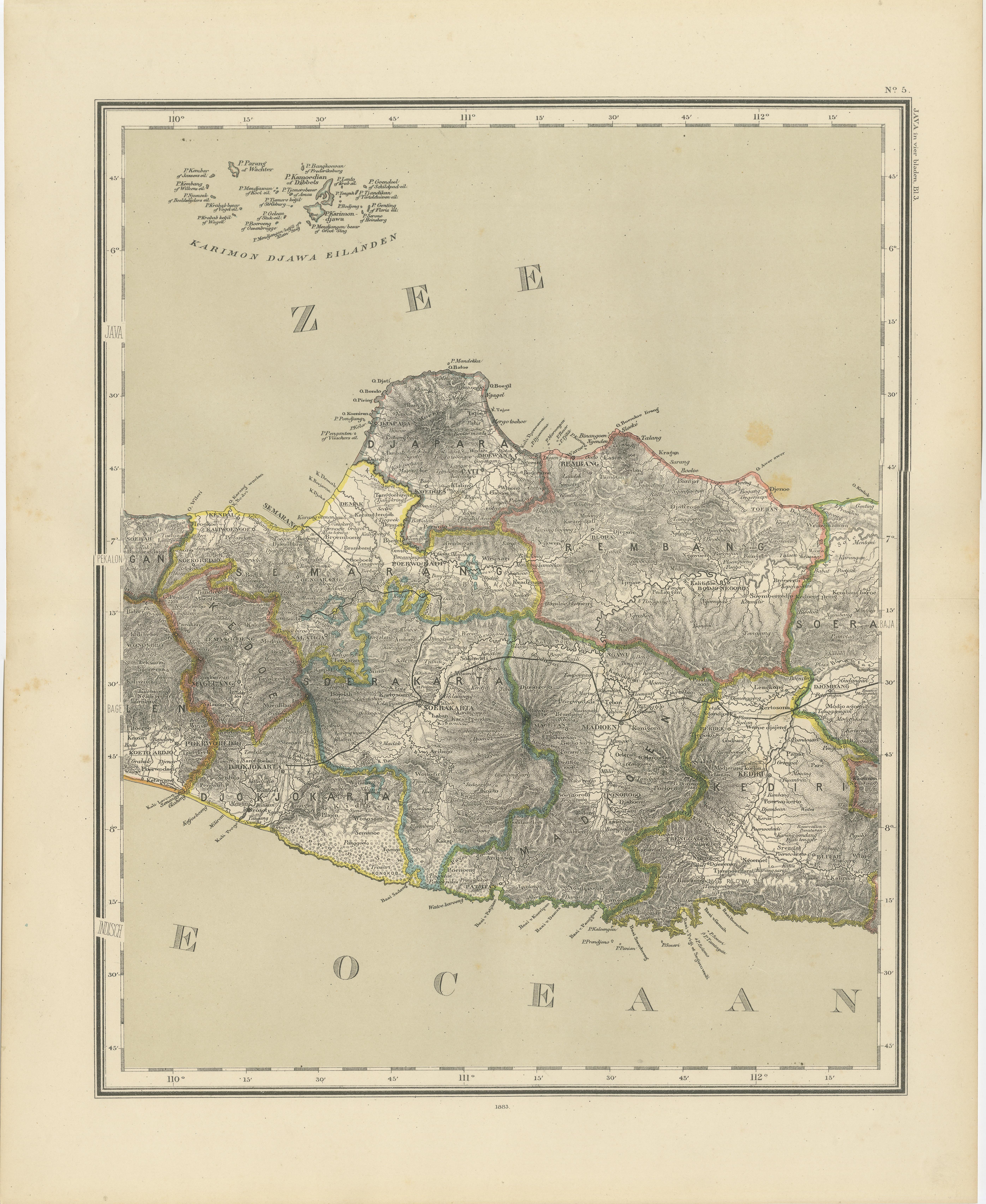
The first sheet combines West Java with a finely detailed plan of Batavia, showing the city’s canals, streets, port installations, and surrounding infrastructure at a pivotal moment in its colonial development. The remaining three maps extend the island eastward in matching scale and style, depicting Central Java, East Java with Madura, and the eastern extremity of Java with the Bali Strait. Together, the four sheets create a rare uninterrupted cartographic narrative of Java from west to east.
Administratively coloured provincial borders, dense road and river networks, mountainous terrain, and coastal outlines give these maps both historical depth and strong decorative presence. When displayed together as a single compilation, the visual impact is exceptional, making this set ideally suited for a study, office, hotel, or collector’s interior with a focus on Southeast Asia or colonial history.
Matched multi-map sets from original 19th-century atlases are increasingly difficult to assemble and especially sought after when they originate from the same edition and retain consistent colouring, paper tone, and scale. This grouping offers both strong historical relevance and refined wall presence.
Condition Report : All four maps are in good original condition with light, scattered foxing consistent with age. No tears, no losses to the image area, and no heavy staining. Margins remain ample and clean. Overall a very attractive and frame-worthy set.
We sell this set unframed. The attached views in frame are only samples of how it can look like!
Framing Suggestions: This set is ideal for presentation as a horizontal four-frame sequence. Soft off-white or warm cream museum mats will enhance the original paper tone, paired with thin black, dark walnut, or brushed brass frames for a refined colonial-era aesthetic.
Technique: Hand-coloured lithograph
Maker: After I. Dornseiffen, Amsterdam, 1884