Antique Maps of Western Europe
690 original sheets

Original Antique Map of the United Kingdom and Ireland, Published in 1875
1875 · € 350
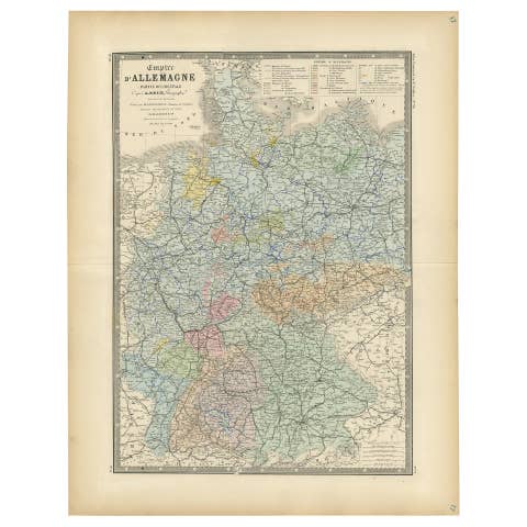
Antique Map of the Western Part of the German Empire by Levasseur, '1875'
1875 · € 400
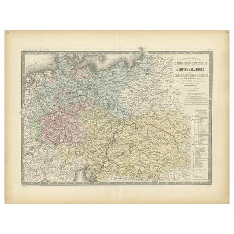
Antique Map of the German Empire by Levasseur, '1875'
1875 · € 400

Antique Map of Algeria and the French Colonies, 1875
1875 · € 400
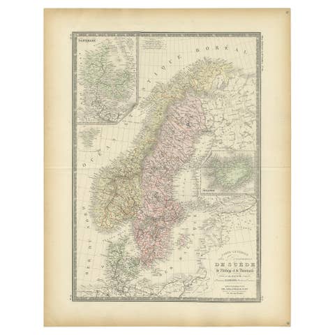
Map of Scandinavia – Antique Atlas Map by A. Levasseur, France, 1875
1875 · € 500
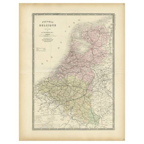
Decorative Antique Map of the Netherlands and Belgium, ca.1875
1875 · € 400
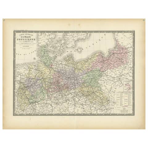
Antique Map of the Prussian Monarchy by Levasseur, '1875'
1875 · € 400
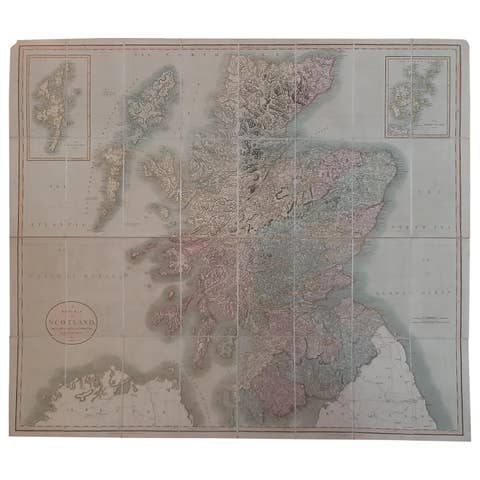
Antique Map of Scotland by Cary, '1811'
1811 · € 800
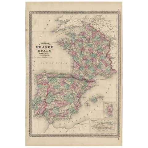
Antique Map of France, Spain and Portugal by Johnson, 1872
1872 · € 250
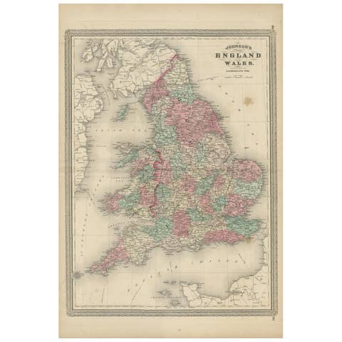
Antique Map of England and Wales by Johnson '1872'
1872 · € 250
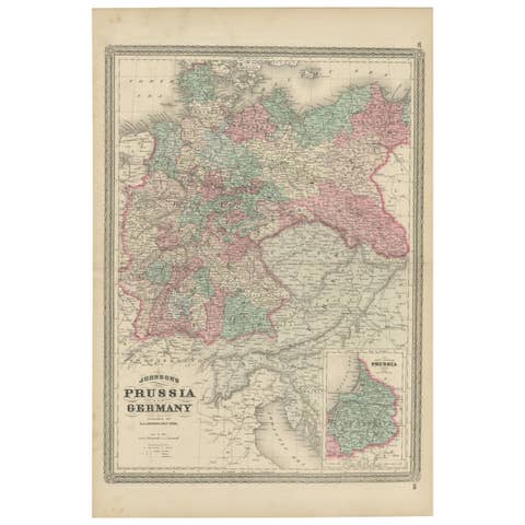
Antique Map of Prussia and Germany by Johnson, 1872
1872 · € 211
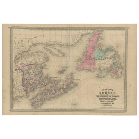
Antique Map of New Brunswick, Nova Scotia and Surroundings by Johnson, 1872
1872 · € 350

Antique Map of Gasper, Hamburg and West Elkton, 1871
1871 · € 250
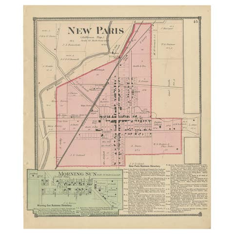
Antique Map of New Paris and Morning Sun, 1871
1871 · € 250
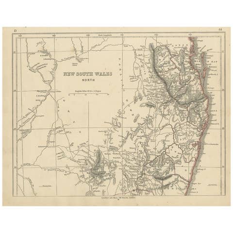
Antique Map of New South Wales by Lowry, '1852'
1852 · € 100
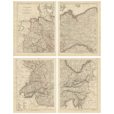
Antique Map of Germany and Switzerland by Lowry, '1852'
1852 · € 250
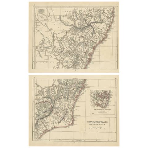
Antique Map of New South Wales by Lowry, 1852
1852 · € 150
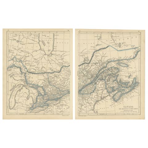
Antique Map of Canada, New Brunswick and Nova Scotia by Lowry, 1852
1852 · € 200
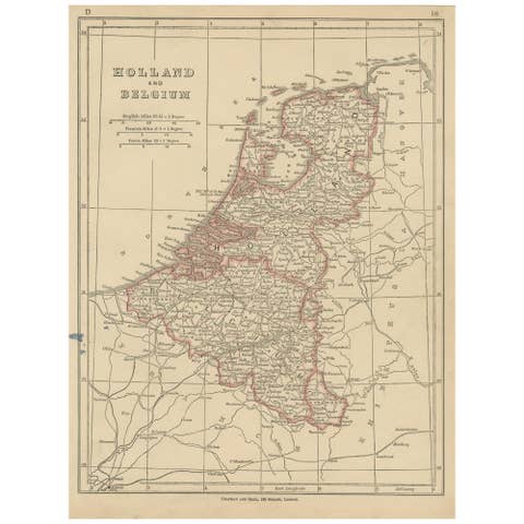
Antique Map of Holland and Belgium by Lowry, '1852'
1852 · € 100
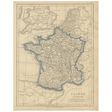
Antique Map of France by Lowry, '1852'
1852 · € 100
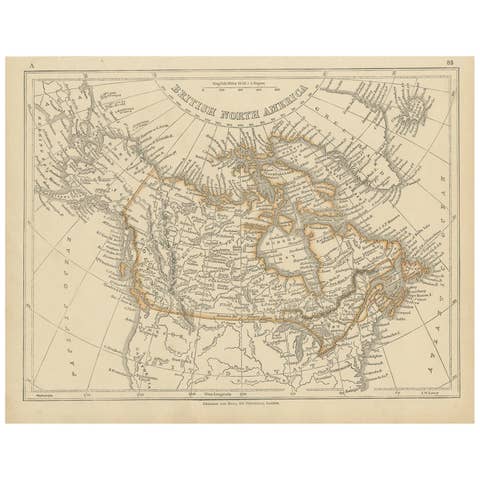
Antique Map of British North America by Lowry, '1852'
1852 · € 100
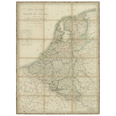
Antique Map of the Netherlands and Belgium by Hérisson, 1829
1829 · € 750
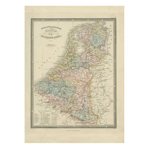
Antique Map of the Kingdom of the Netherlands by Wyld '1845'
1845 · € 200
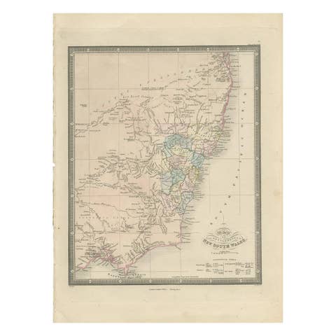
Antique Map of New South Wales 'Australia' by Wyld '1845'
1845 · € 250
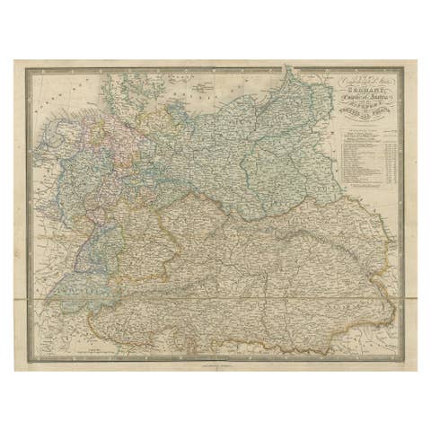
Antique Map of Germany with the Empire of Austria by Wyld '1845'
1845 · € 270
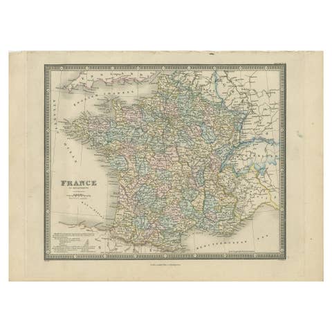
Antique Map of France in Departments by Wyld '1845'
1845 · € 200

Antique Map of the British Possessions in North America by Wyld '1845'
1845 · € 200

Antique Map of England & Wales by Wyld '1845'
1845 · € 150
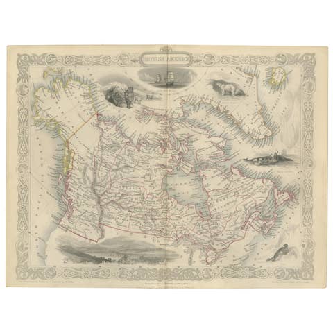
Antique Map of British America by Tallis 'c.1850'
1850 · € 500
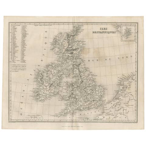
Antique Map of the British Isles by Balbi '1847'
1847 · € 150

Antique Map of the City of London by Balbi '1847'
1847 · € 200
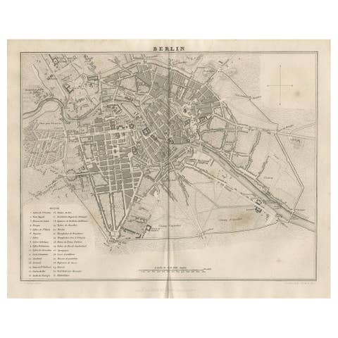
Antique Map of the City of Berlin in Germany, '1847'
1847 · € 150
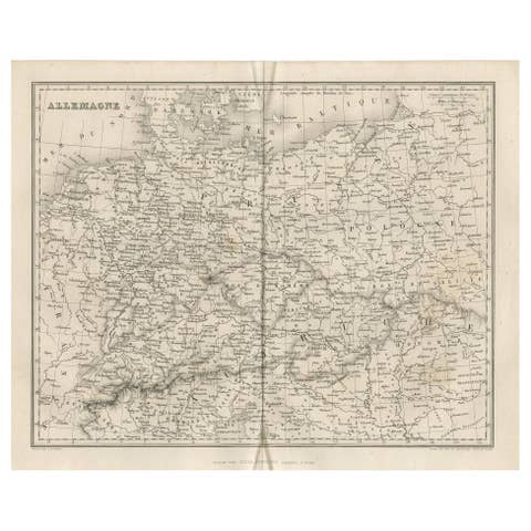
Antique Map of Germany by Balbi '1847'
1847 · € 150

Antique Map of France by Balbi '1847'
1847 · € 125
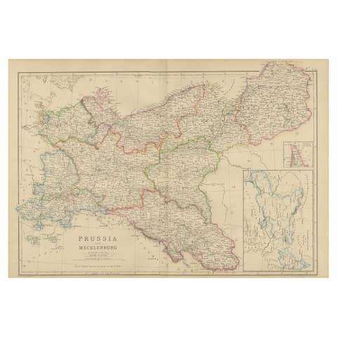
Antique Map of Prussia & Mecklenburg, Hand Colored, Blackie, circa 1859
1859 · € 240

1859 Detailed Map of North West Germany with Bavaria Inset - Blackie's Atlas
1859 · € 250

1859 Denmark and Schleswig-Holstein Map: A Historical View from Blackie's Atlas
1859 · € 149
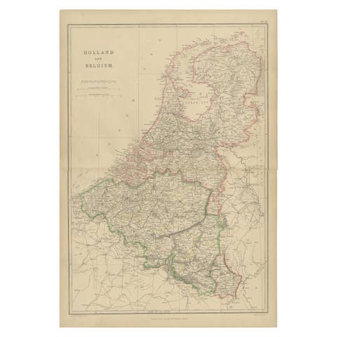
1859 Vintage Map of Holland and Belgium: Blackie's Imperial Geographic Insight
1859 · € 250
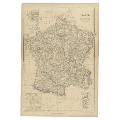
1859 Classic Map of France: Blackie's Imperial Geographic Masterpiece
1859 · € 250
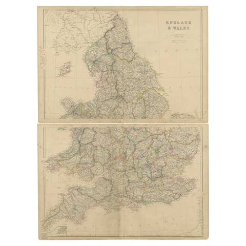
1859 Vintage Maps of England and Wales: Blackie's Imperial Geographic Detail
1859 · € 400

Set of 2 Antique Maps of Scotland by W. G. Blackie, 1859
1859 · € 400
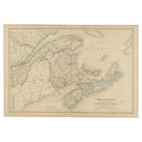
New Brunswick, Nova Scotia, Prince Edward Island, Antique Map, Canada East 1859
1859 · € 210
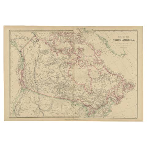
British North America, Antique Map of Canada and Arctic Regions, Blackie, 1859
1859 · € 360
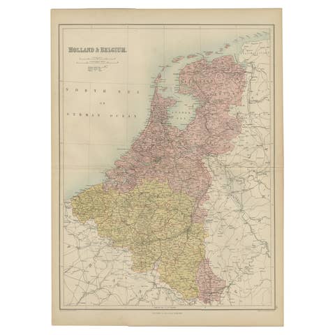
Antique Map of The Netherlands and Belgium by A & C, Black, 1870
1870 · € 250

Antique Map of France by A & C. Black, 1870
1870 · € 275
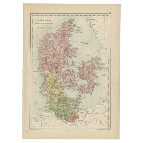
Antique Map of Denmark with Schleswig & Holstein by A & C. Black, 1870
1870 · € 175

Antique Map of New South Wales and Victoria by W. G. Blackie, 1859
1859 · € 250
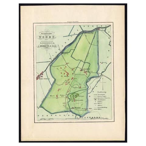
Dutch Municipality of Wedde in Groningen, Fehse, 1862
1862 · € 120