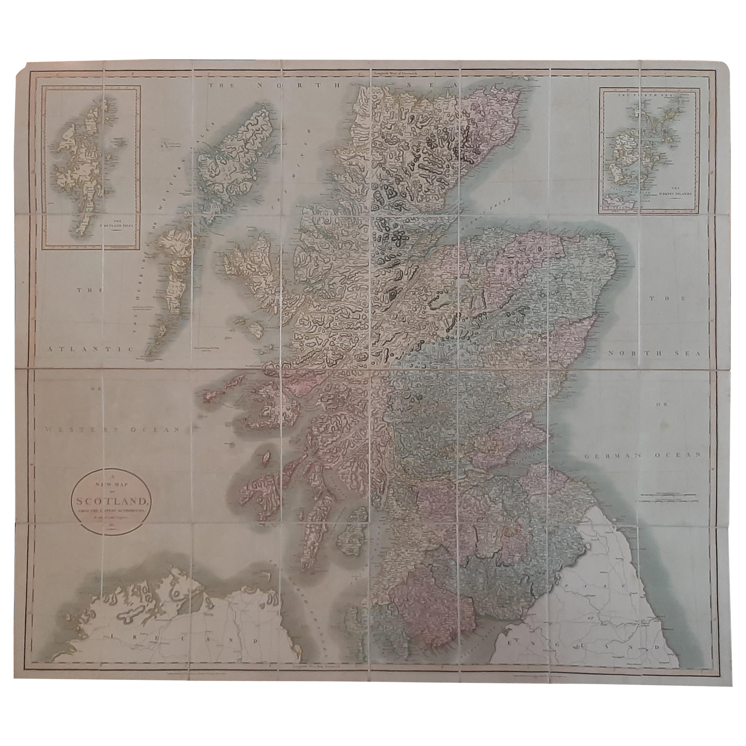
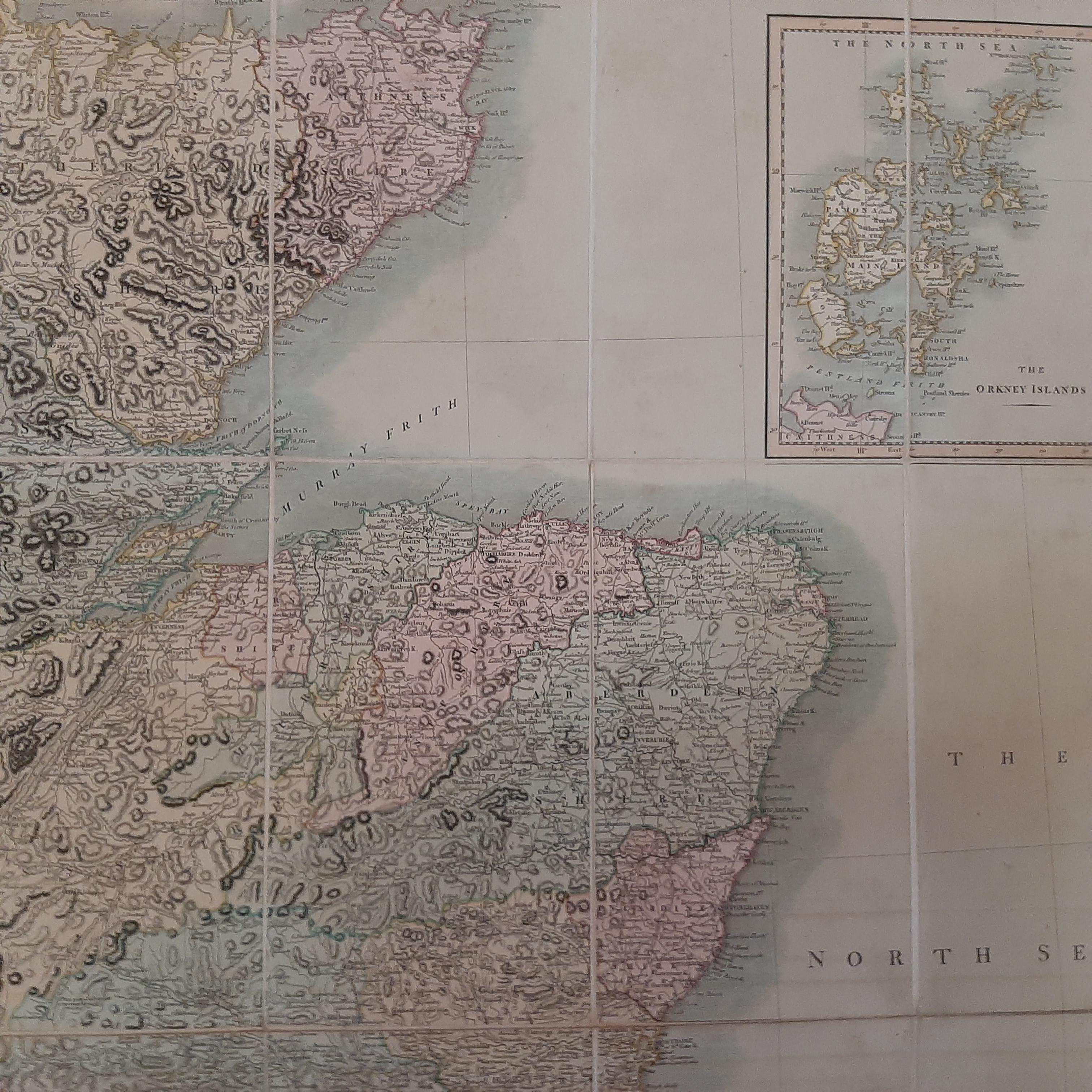
One of a kind: this is the sheet in the photographs. Ships from Langweer, the Netherlands.
Date
1811
Technique
Paper
Sheet size
93 × 108 cm (36.6 × 42.5 in)
Condition
Good
Reference
BGJC-354
Condition
General age-related toning. Mounted on linen. Minor wear, please study image carefully.
About this sheet
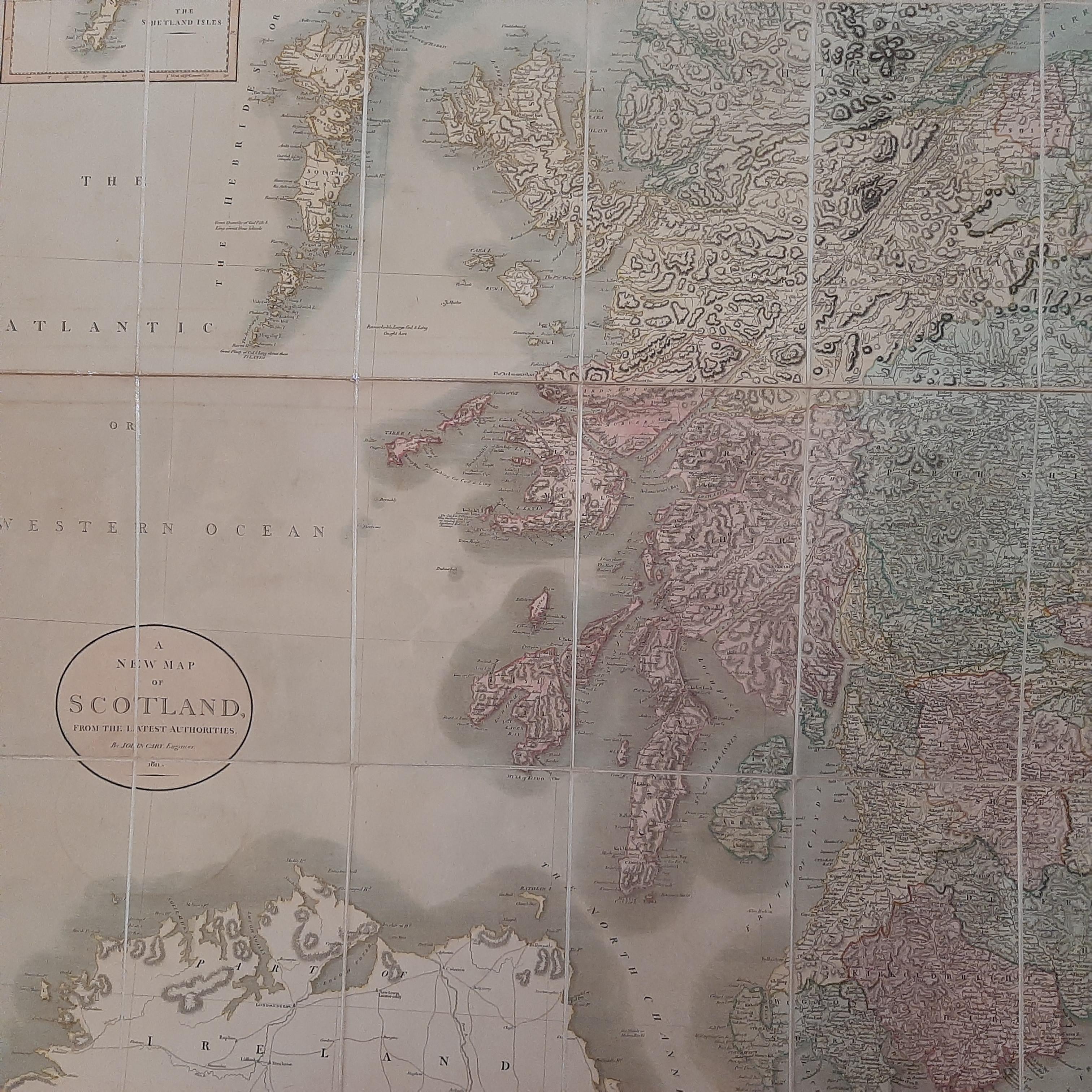
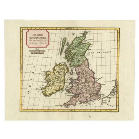
Antique map titled 'A New Map of Scotland from the Latest Authorities':
**Title**: A New Map of Scotland from the Latest Authorities **Publisher**: J. Cary **Publication Year**: 1811
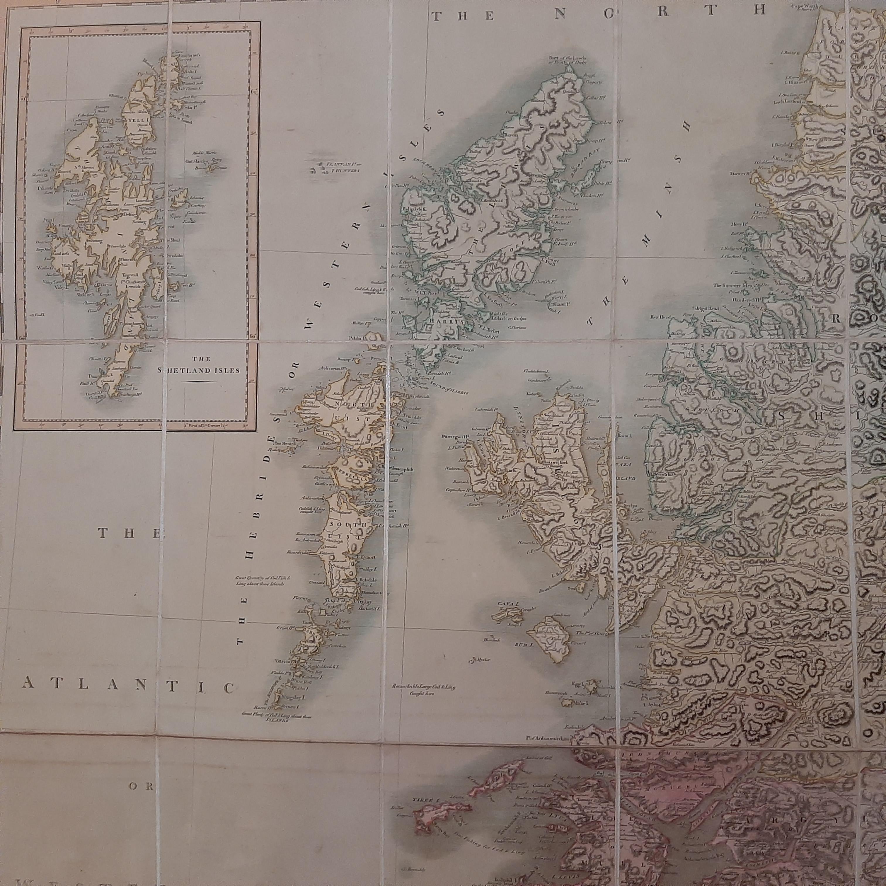
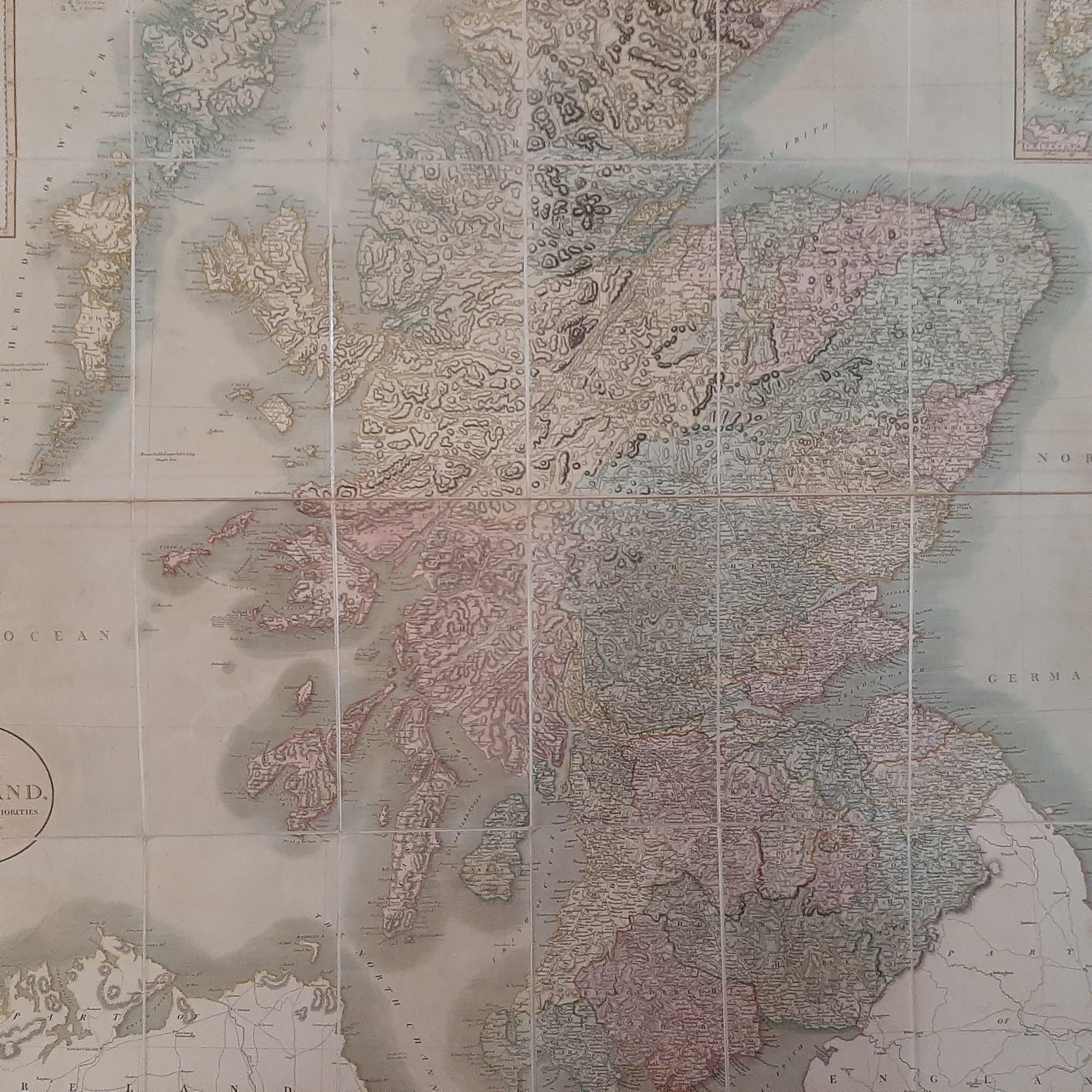
This exquisite hand-colored folding map of Scotland, crafted in 1811, offers a detailed and comprehensive portrayal of the country as understood in the early 19th century. Published by the renowned cartographer J. Cary, known for his precision and attention to detail, this map represents the geographical knowledge of Scotland during a significant period in British history.
The map is distinguished by its hand coloring, a characteristic feature of maps from this era that adds both aesthetic appeal and practical value in distinguishing different regions, boundaries, and geographical features. The folding nature of the map indicates its utility for travelers or scholars of the time, providing ease of transport and use.
This map offers a window into the cartographic style and geographical understanding of Scotland in the early 19th century. It would have been an essential tool for both local and international travelers, as well as academics and government officials. The map's creation in 1811 places it in a context of significant historical events and societal changes in Scotland and the United Kingdom, making it a valuable piece for historical study.