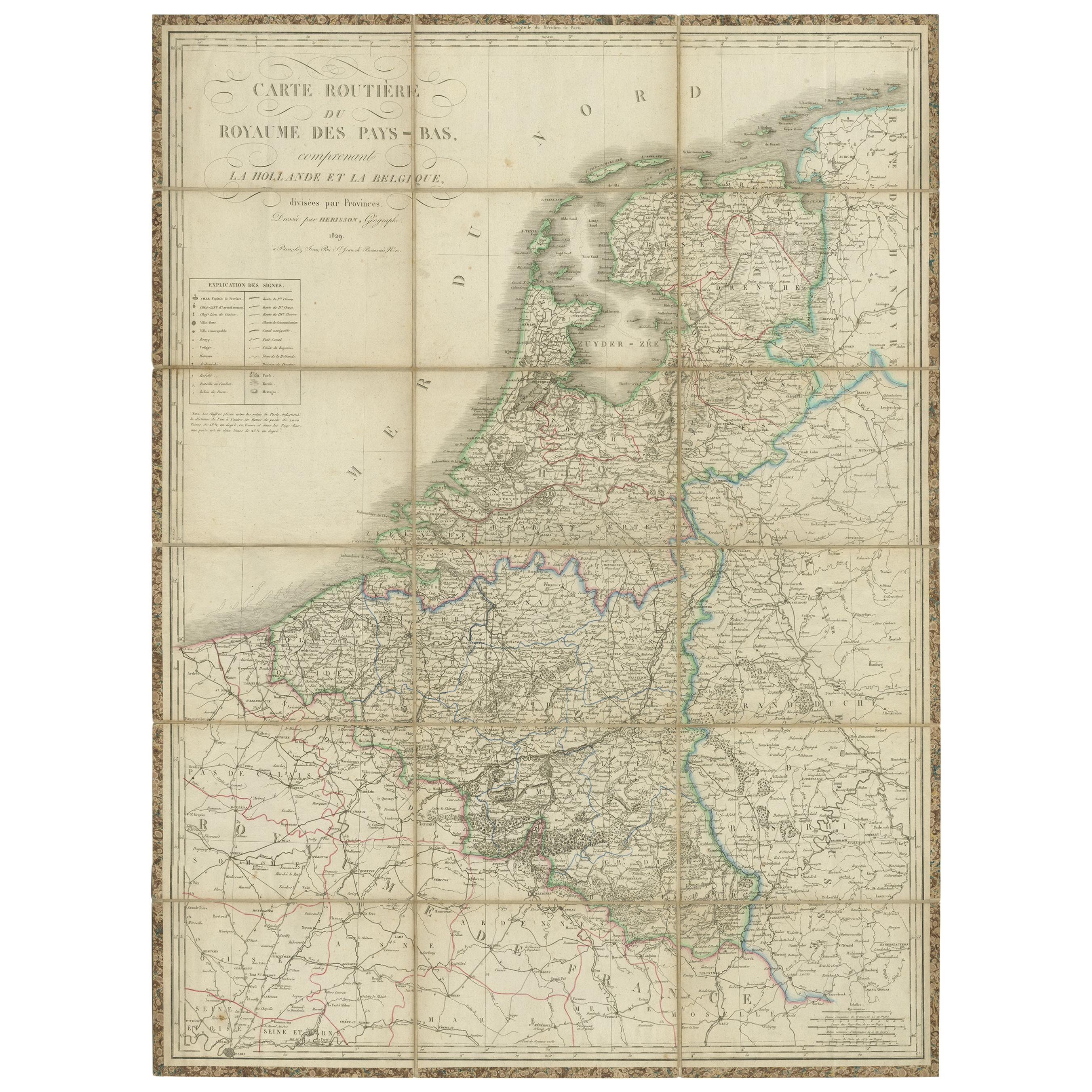
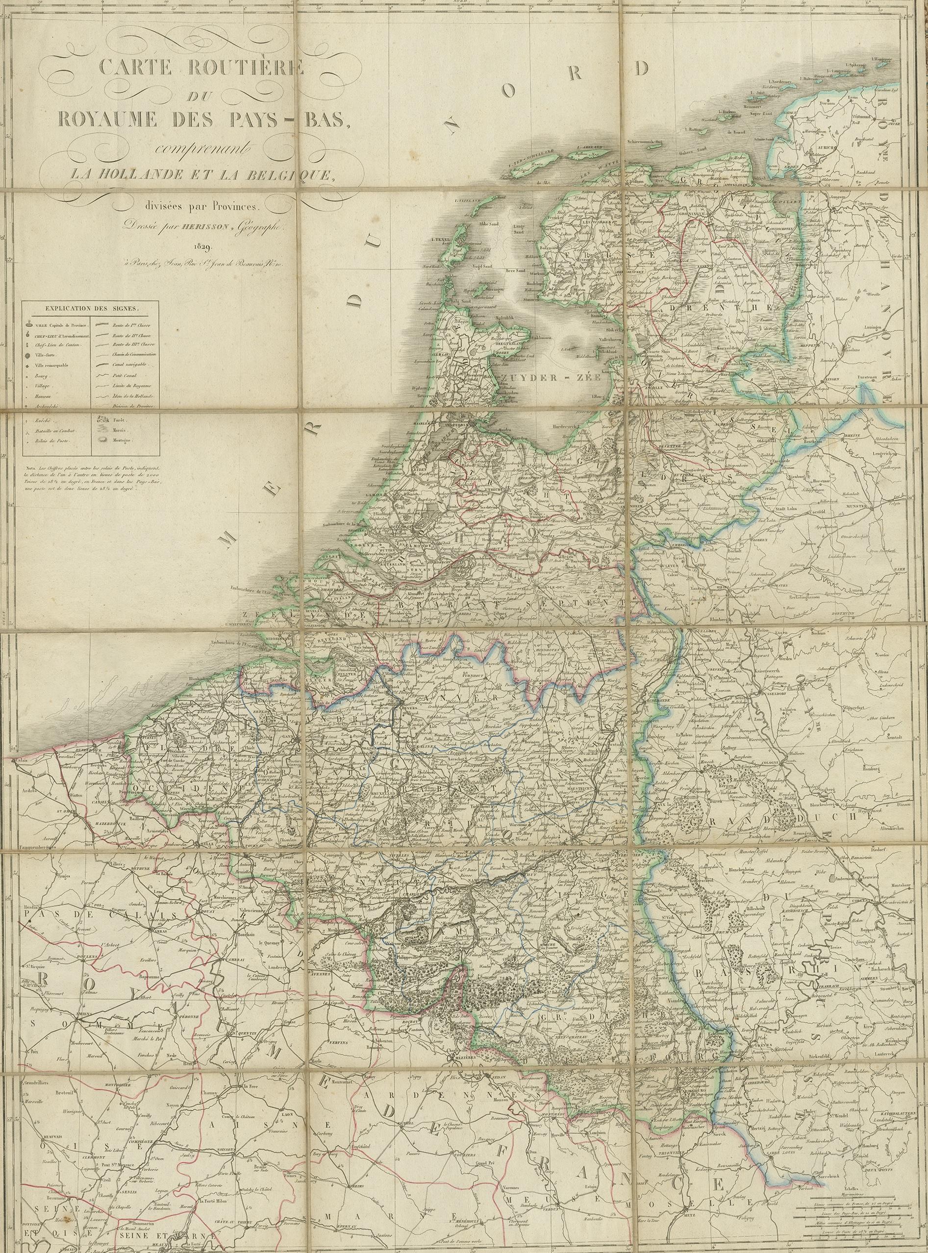
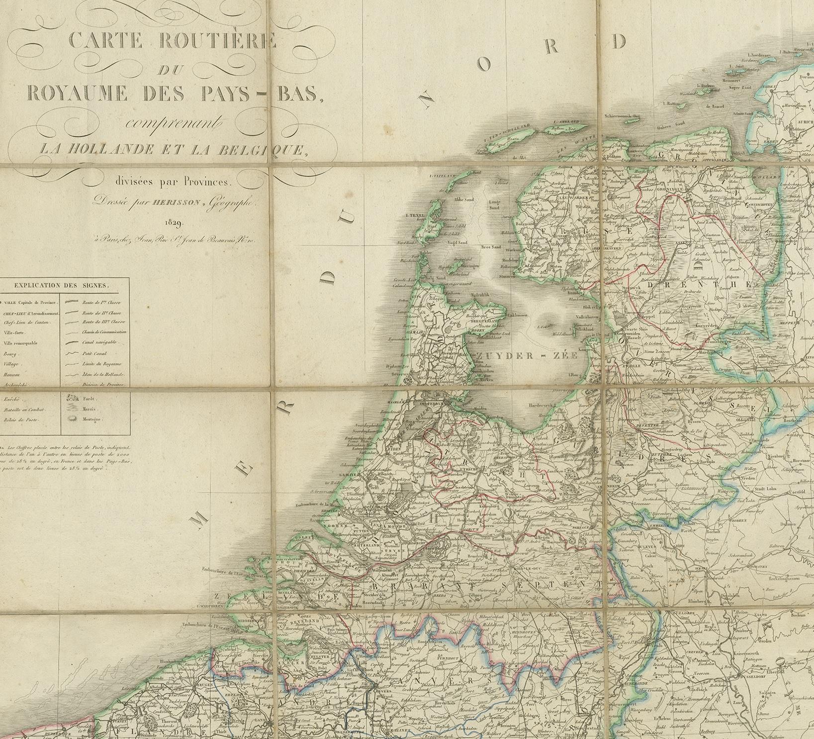
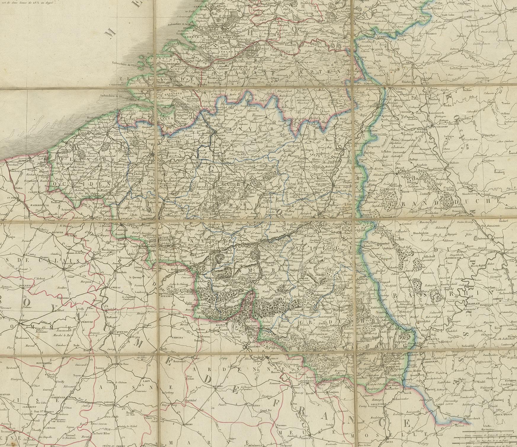
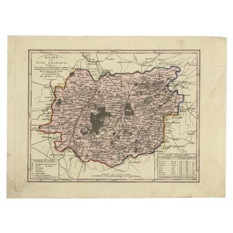
Antique Map of the Netherlands and Belgium by Hérisson, 1829
€ 750
One of a kind: this is the sheet in the photographs. Ships from Langweer, the Netherlands.
Date
1829
Sheet size
102.5 × 77 cm (40.4 × 30.3 in)
Condition
Fair
Reference
BG-00350
Condition
General age-related toning, shows some soiling and foxing. Minor wear/small defects, please study images carefully.
About this sheet
**Publisher**: Eustache Hérisson
**Publication Year**: 1829
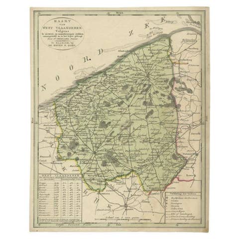
This original antique map is a detailed depiction of the Netherlands and Belgium, dating back to 1829. As a 'Carte Routière', it focuses on the road networks of the region, providing valuable historical insights into the transportation and geographical understanding of the early 19th century. The map's delineation of the Kingdom of the Netherlands, including both Holland and Belgium, is particularly noteworthy as it represents the political geography of the period shortly before Belgium's independence in 1830.
The map is sectionalised and laid on linen, a common practice in the 19th century for preserving and reinforcing maps, making them more durable and portable. This method of mounting also suggests that the map was intended for practical use, possibly by travelers or for educational purposes.
**Artist and Publisher**: Eustache Hérisson, the publisher of this map, was a known figure in the cartographic and publishing world of the early 19th century. His work is characterized by attention to detail and accuracy, making this map not only a beautiful piece of art but also a reliable historical document.
This map is a valuable historical artifact, offering insights into the geographical and political landscape of the Netherlands and Belgium during a significant period in their history. For collectors, historians, and enthusiasts of cartography, this map represents a fascinating intersection of art, history, and geography.