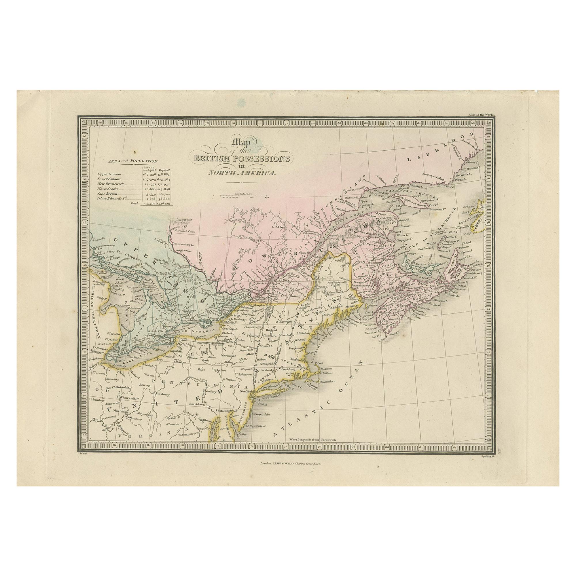
Antique Map of the British Possessions in North America by Wyld '1845'
€ 200
Original antique · The actual sheet photographed · Certificate of authenticity on request · Sold unframed · Worldwide shipping from € 15 (rates)
Date
1845
Sheet size
26 × 36 cm (10.2 × 14.2 in)
Condition
Good
Reference
BG-12894-19
What the condition grades mean
Excellent
Bright and clean, with no faults worth mentioning.
Very good
Only light signs of age, such as faint toning.
Good
Normal signs of age for a sheet of this period: toning, some foxing, small marks or neat old repairs.
Fair
Clear faults such as staining, tears or repairs, priced to match.
Every fault we see is written in the condition note, and the whole sheet is shown uncropped in the photos.
Condition
General age-related toning. Minor wear, light staining. Blank verso. Please review the images for further condition details.
About this sheet
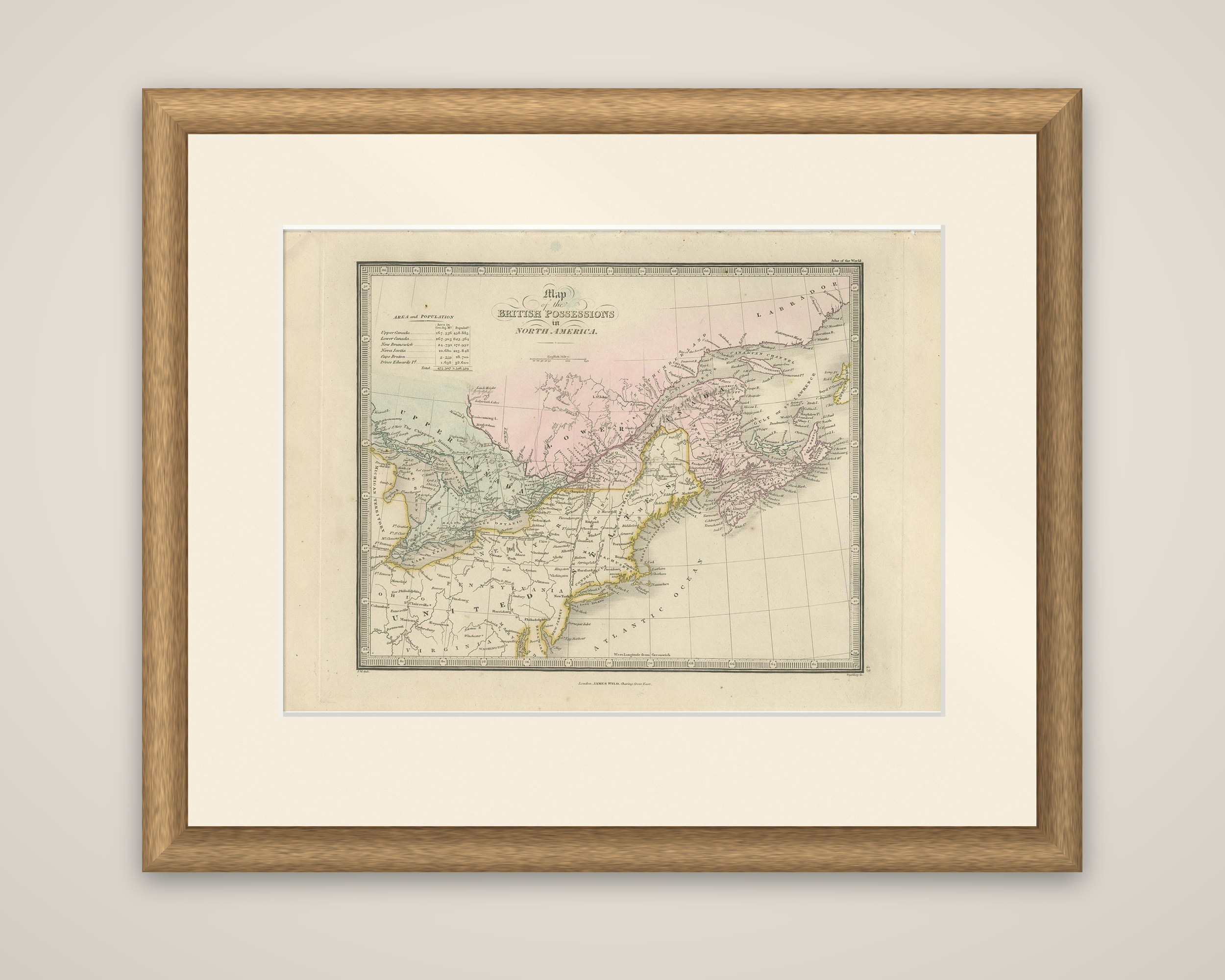
A map of the British possessions in North America from James Wyld's An Atlas of the World, published in London in 1845. The sheet is an original copper engraving in outline color, within a decorative border graduated in degrees. A table of area and population at the upper left lists Upper Canada, Lower Canada, New Brunswick, Nova Scotia, Cape Breton and Prince Edward's Island, with their totals.
The map covers the Great Lakes region and the Atlantic provinces. Upper Canada is colored in green around Lakes Huron, Erie and Ontario; Lower Canada lies along the St. Lawrence in pink, extending toward Labrador; and New Brunswick, Nova Scotia, Cape Breton and Prince Edward Island appear to the east. The northern United States below the border is shown in yellow outline, with New England, New York and Pennsylvania, labeled "United States." Rivers, towns and lakes are drawn in fine detail. The title is set in a decorative cartouche at the upper left.
The map shows the Canadas as they stood before Confederation.