Maps & PrintsBartele Gallery · Langweer
Home / Antique Maps / Asia / West Asia & the Holy Land

Antique Maps of West Asia & the Holy Land

114 original sheets
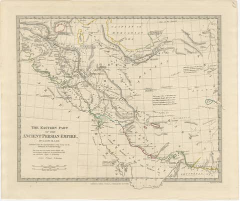
Ancient Persian Empire Map of Persia, Babylon & Arabia, Published 1831
1831 · € 575
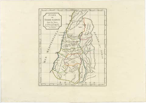
Judee ou Terre Sainte Map of the Holy Land and Jerusalem, c.1806
1806 · € 545
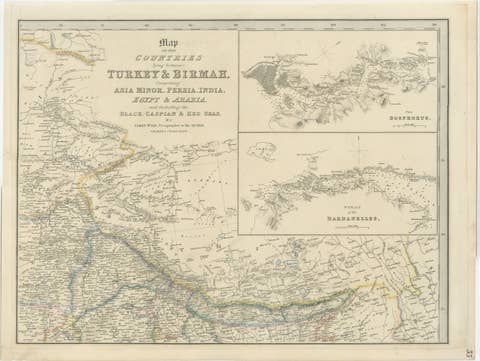
Turkey, Persia & Arabia Antique Map by James Wyld, Bosphorus, 1839
1839 · € 575
Antique Map of Persia Iran by Edward Weller for Weekly Dispatch Atlas, 1863
1863 · € 239
Antique Map of Asia Minor Turkey by Edward Weller, Weekly Dispatch, 1863
1863 · € 280
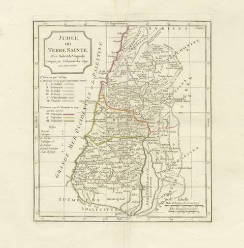
Antique Holy Land Map, Judée ou Terre Sainte, Robert de Vaugondy, 1806
1806 · € 360
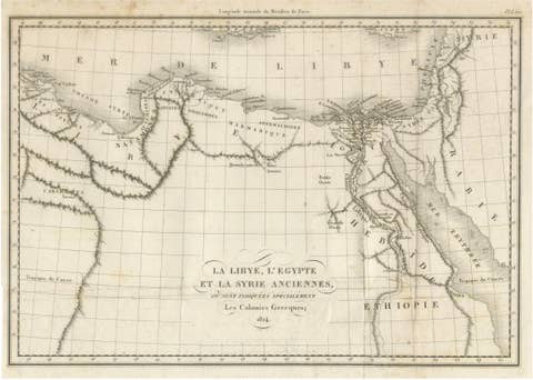
Antique Map of Ancient Egypt, Libya & Syria by Ambroise Tardieu, 1824
1824 · € 280
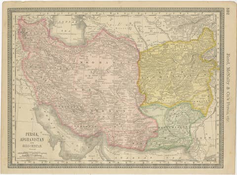
Antique Persia Map Wall Art – Iran Afghanistan Beluchistan, Rand McNally, c.1888
1888 · € 390
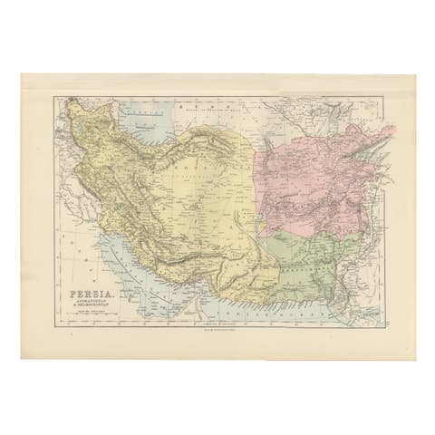
Antique Map of Persia, Afghanistan and Beloochistan – Black’s Atlas, 1884
1884 · € 330
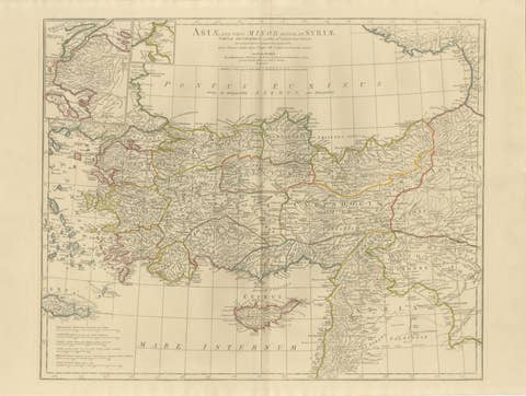
Antique Map of Asia Minor & the Levant – Anatolia, Syria & Cyprus, c.1818
1818 · € 1 100
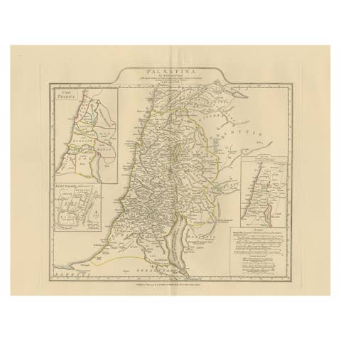
Antique Map of Biblical Palestine – Holy Land & Jerusalem Insets, c.1818
1818 · € 1 100
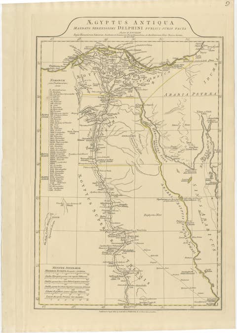
Antique Map of Ancient Egypt – Nile Valley & Red Sea, Engraving c.1818
1818 · € 580
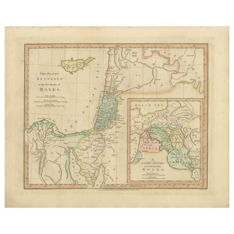
Places Recorded in the Five Books of Moses — Biblical Holy Land Map, 1827
1827 · € 330
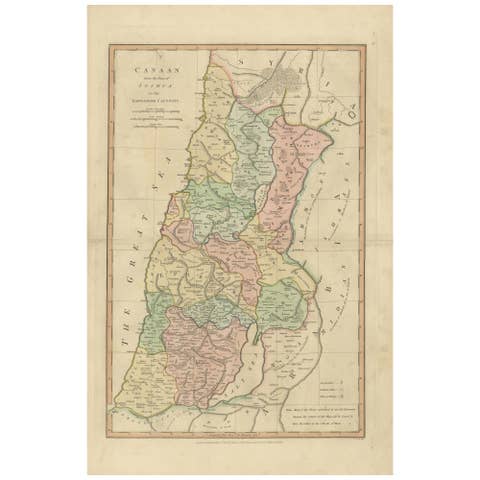
Canaan from Joshua to the Babylonian Captivity — Biblical Holy Land Map, 1823
1823 · € 360
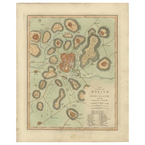
The Land of Moriah or Jerusalem & the Adjacent Country — Biblical City Map, 1814
1814 · € 310
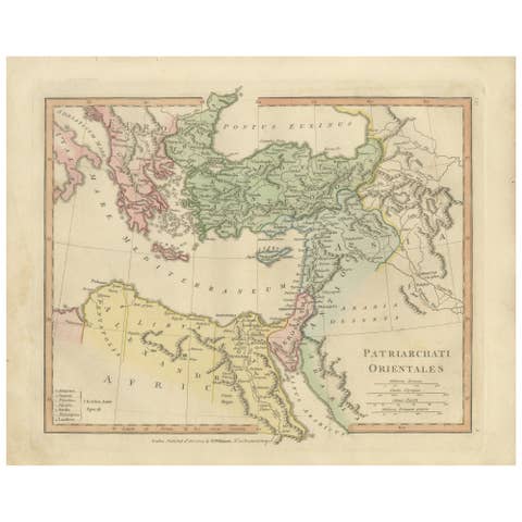
Patriarchati Orientales — Early Christian Patriarchates Map, Wilkinson 1822
1822 · € 320
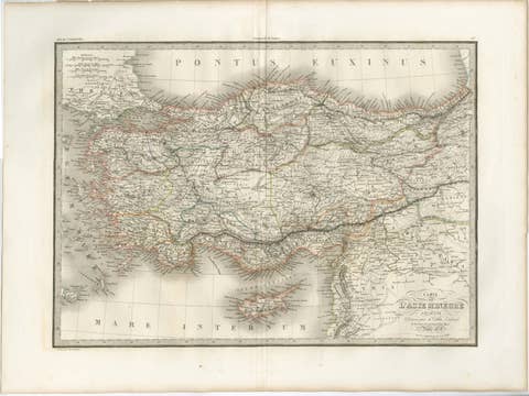
Antique Map Asia Minor Turkey Levant, Lapie 1838 – Hand Colored Engraving
1838 · € 399
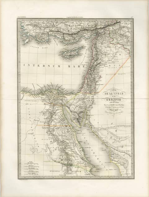
Antique Map of Syria, Egypt and the Nile Delta – Lapie, 1838
1838 · € 499

Your favorites

Saved in this browser. Email the list to yourself to keep it on any device.

We use your email to send this list and, only if you tick the box and confirm, for occasional new arrivals. Every email has an unsubscribe link. Bartele Gallery, the Netherlands.