
Maps & PrintsBartele Gallery · Langweer
Home / Antique Maps / Asia / West Asia & the Holy Land

West Asia & the Holy Land · 19th century

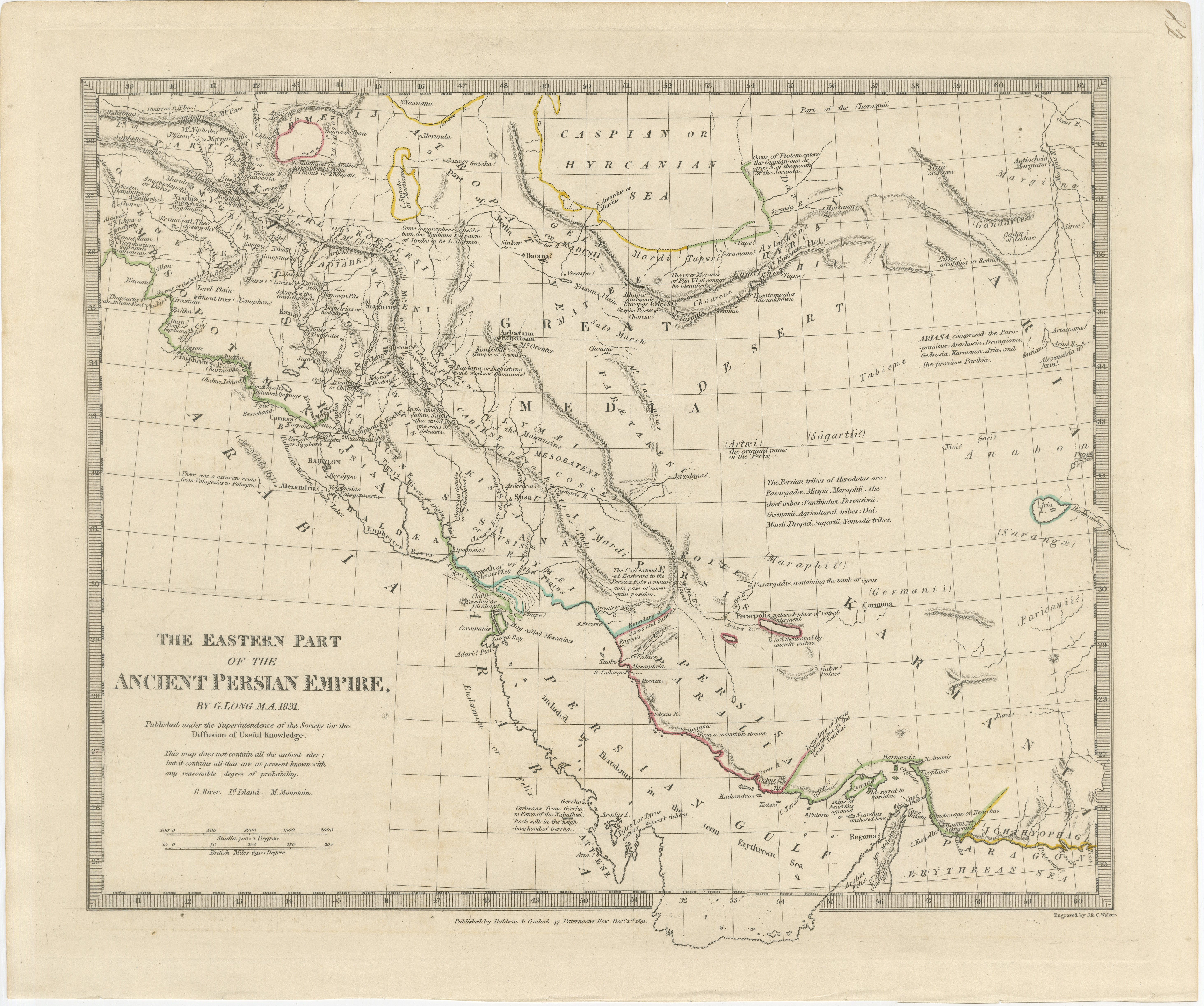
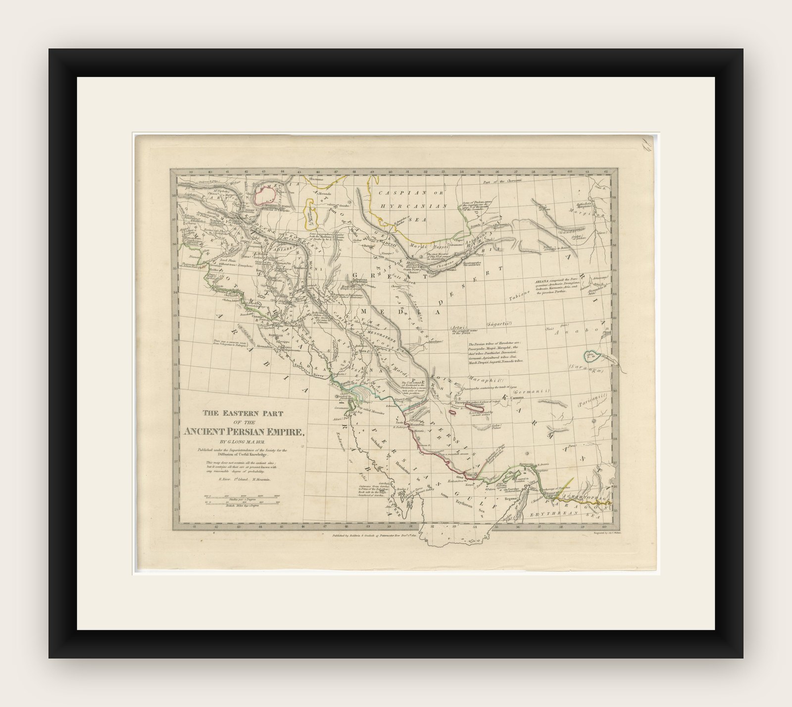
Ancient Persian Empire Map of Persia, Babylon & Arabia, Published 1831

€ 575

Original antique · The actual sheet photographed · Certificate of authenticity on request · Sold unframed · Worldwide shipping from € 15 (rates)

Date
1831
Mapmaker / artist
Society for the Diffusion of Useful Knowledge (SDUK), London, 1831
Technique
Steel engraving with original outline hand color
Sheet size
34.2 × 41 cm (13.5 × 16.1 in)
Condition
Good
Reference
BG-14279-62
What the condition grades mean
Excellent
Bright and clean, with no faults worth mentioning.
Very good
Only light signs of age, such as faint toning.
Good
Normal signs of age for a sheet of this period: toning, some foxing, small marks or neat old repairs.
Fair
Clear faults such as staining, tears or repairs, priced to match.

Every fault we see is written in the condition note, and the whole sheet is shown uncropped in the photos.

Condition

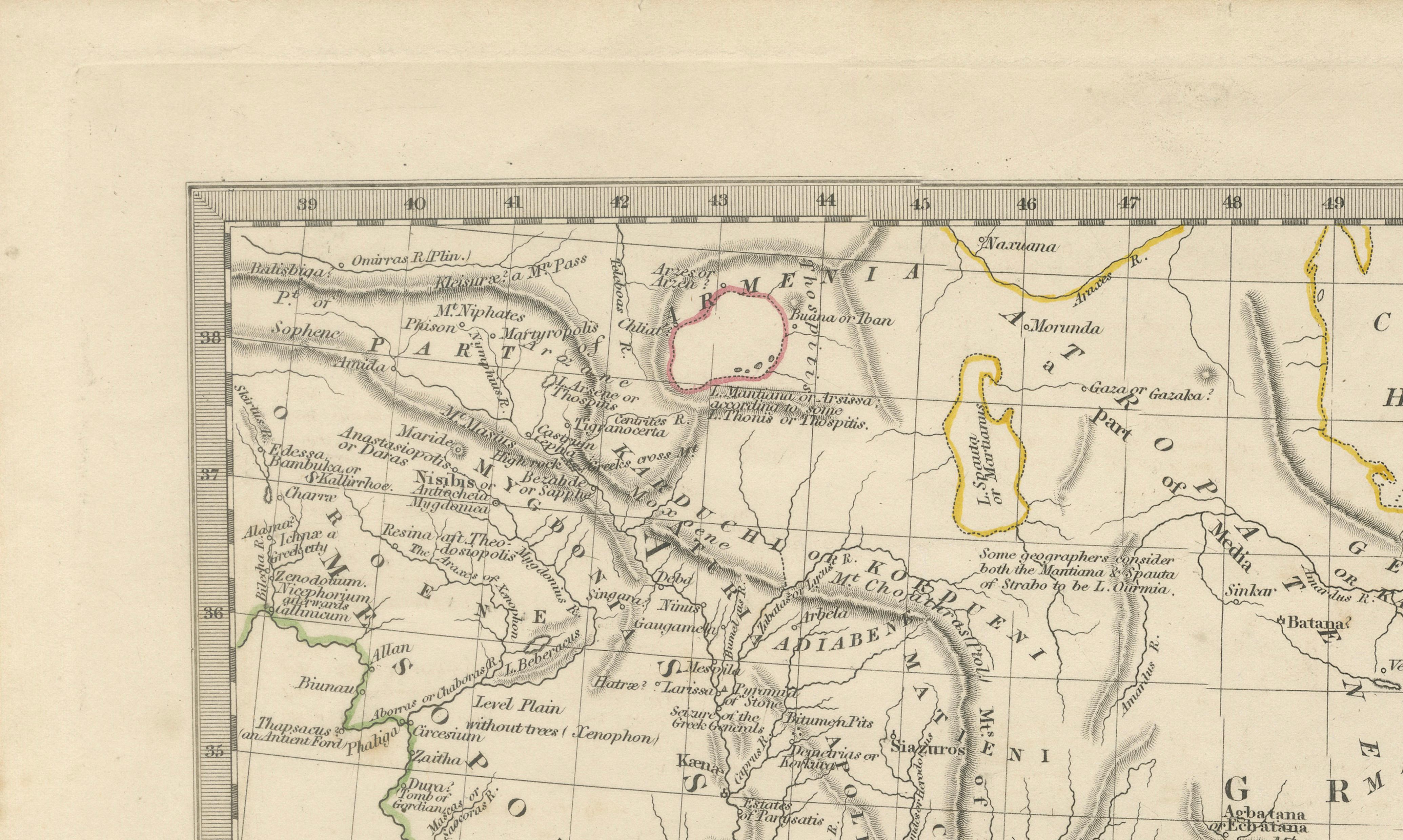
Good antique condition with age-related toning and occasional light foxing. Minor handling wear and faint discoloration consistent with age. Wide margins preserved. Please review the images for further condition details.
About this sheet

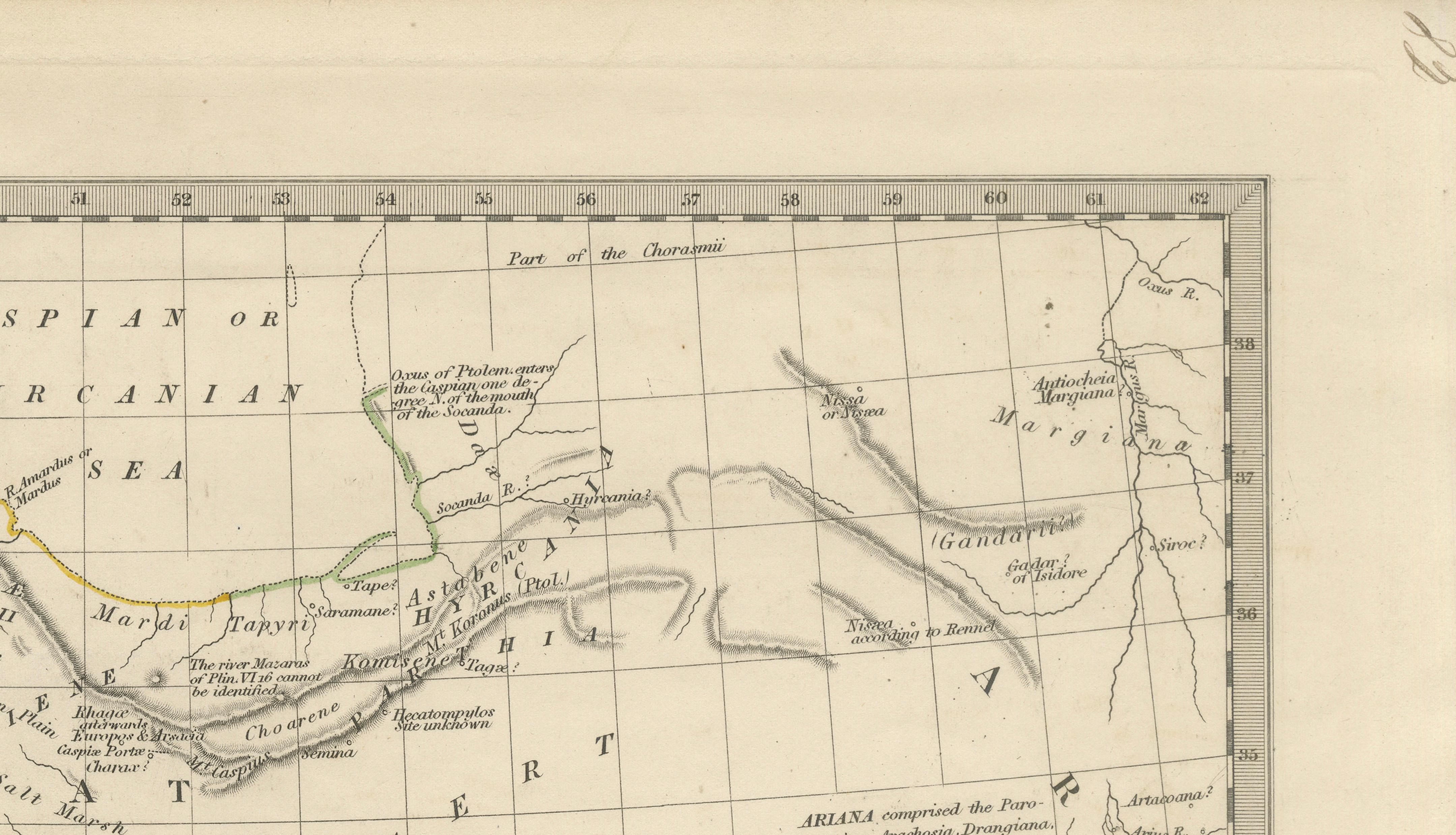
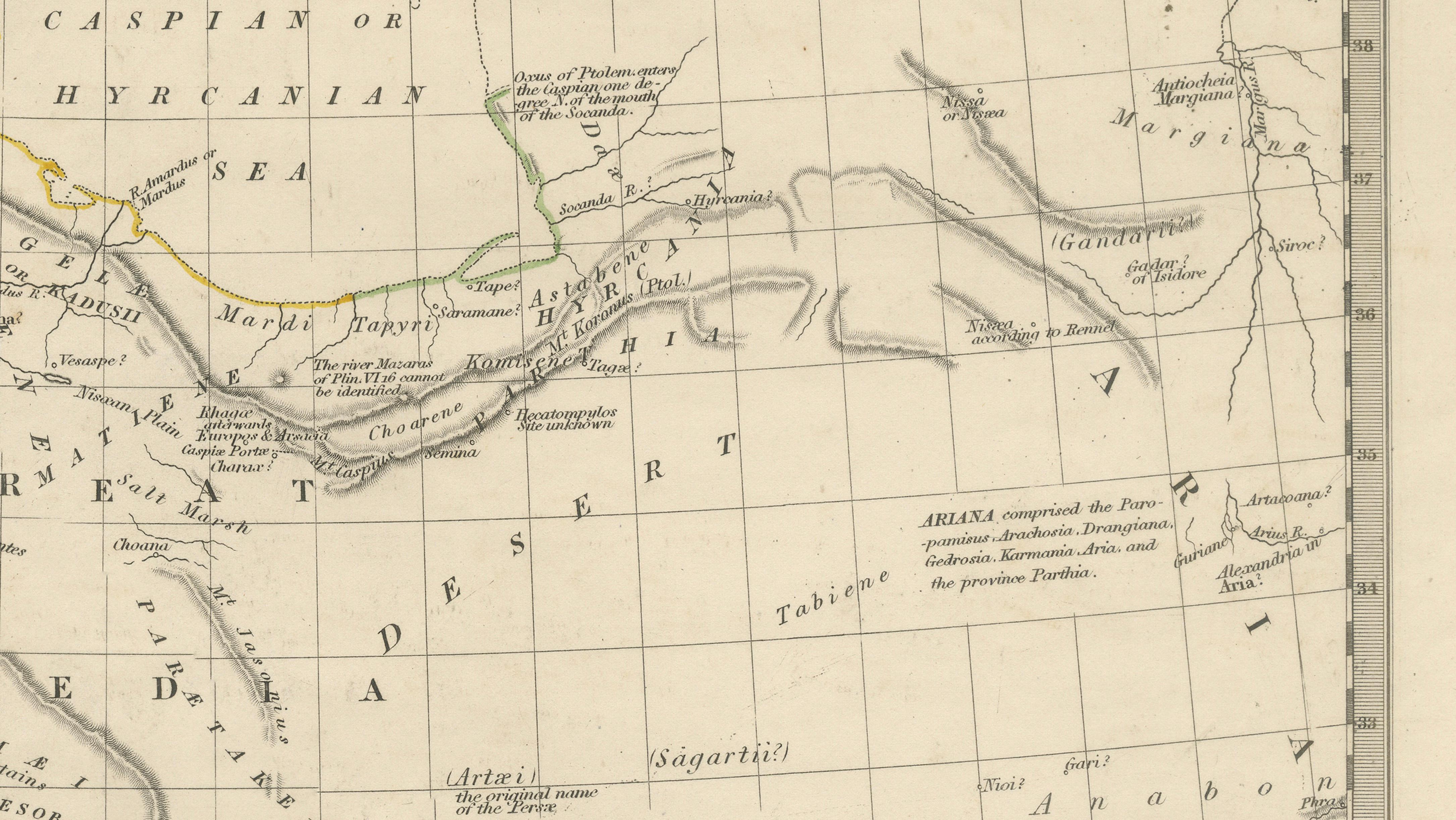
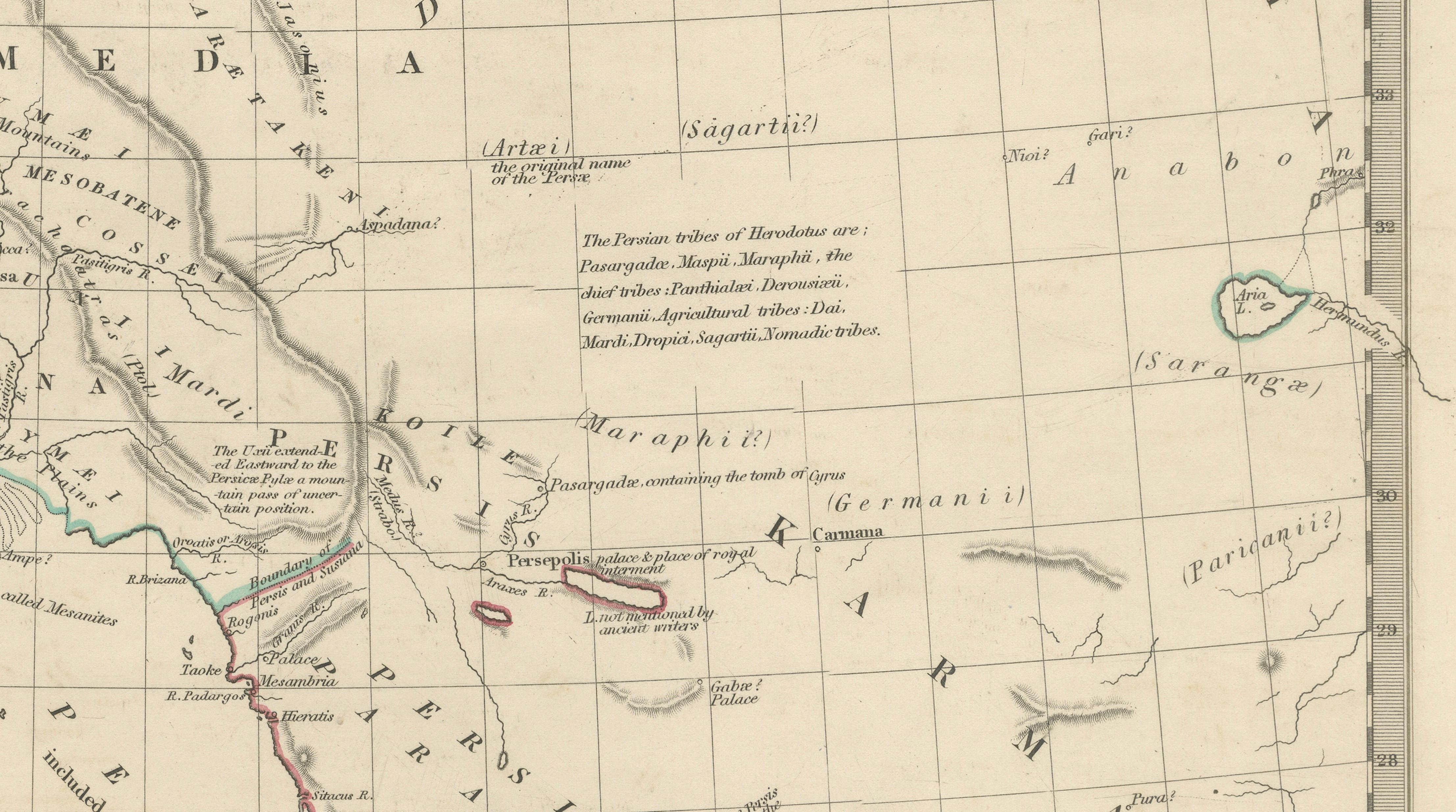
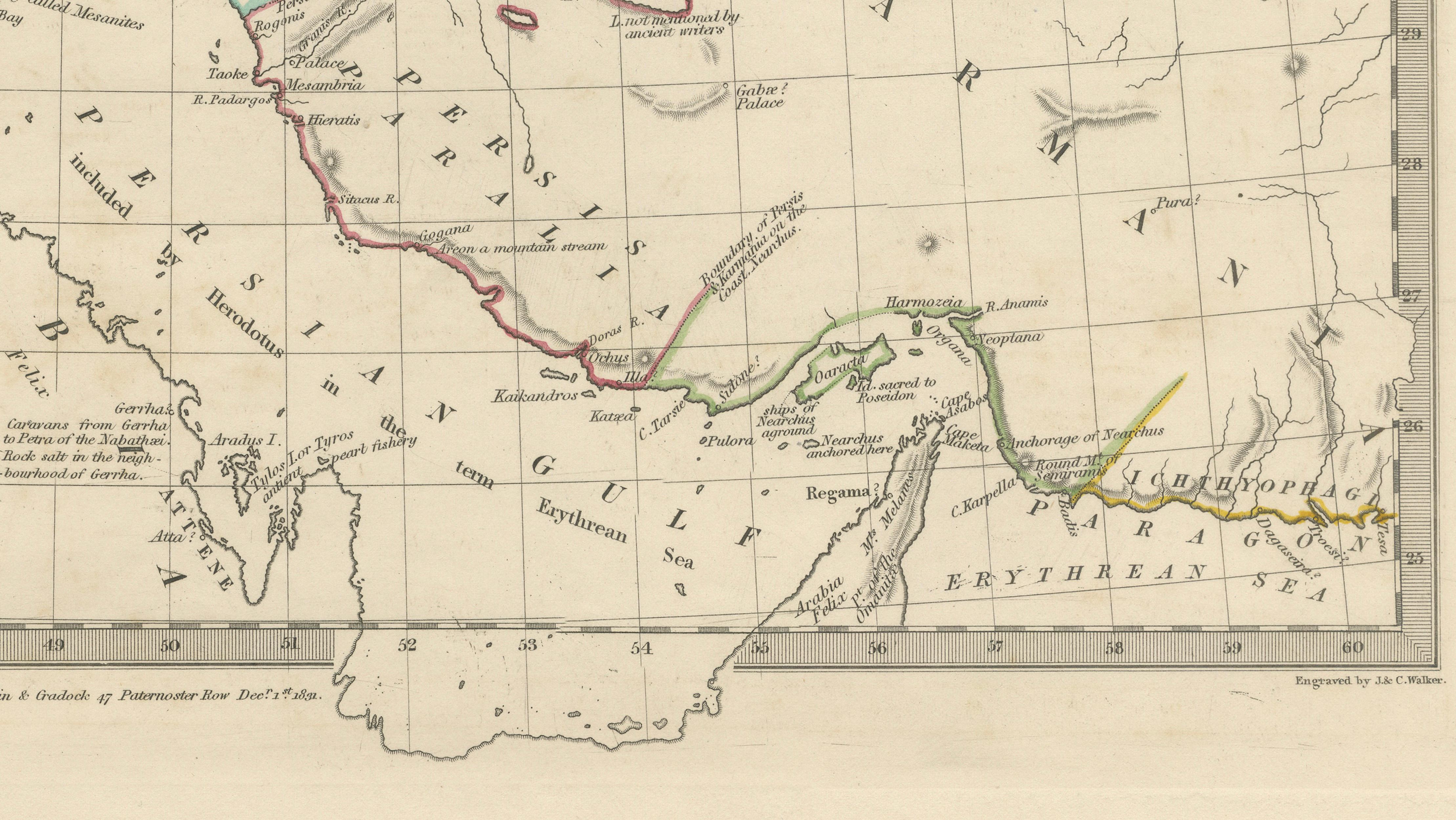
Ancient Persian Empire Map of Persia, Babylon & Arabia, Published 1831

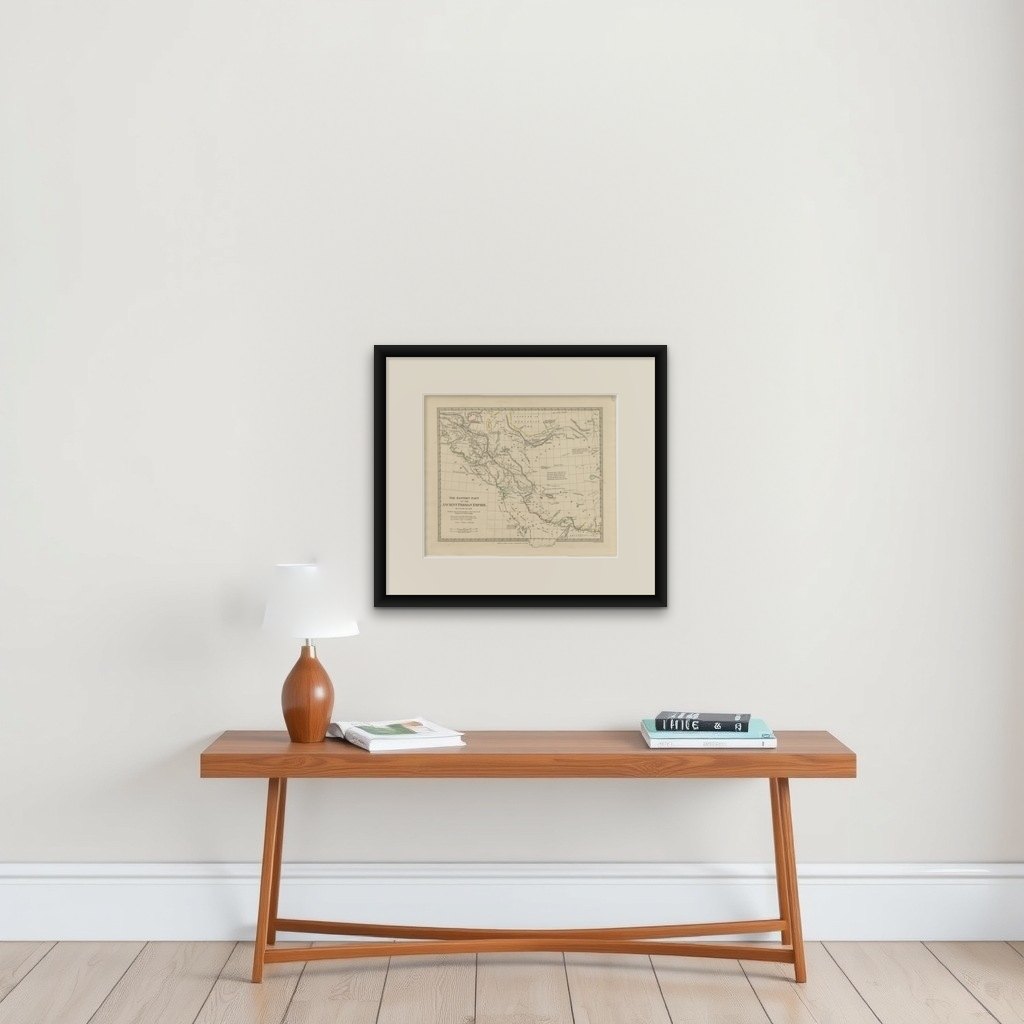
A finely engraved and historically important map titled “The Eastern Part of the Ancient Persian Empire,” published in London in 1831 by the Society for the Diffusion of Useful Knowledge (SDUK). Drawn by the noted classical scholar George Long, the map presents an ambitious reconstruction of the eastern territories of the ancient Persian Empire, extending from Mesopotamia and the Persian Gulf to the Caspian Sea and regions of ancient Ariana and Gedrosia.

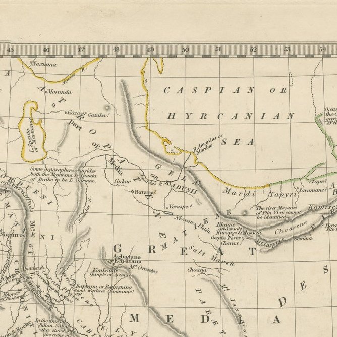
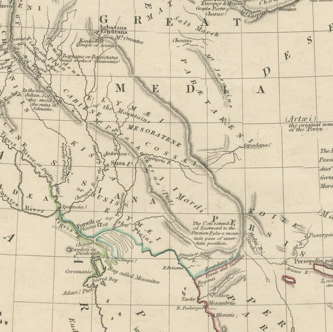
The composition combines elegant British steel engraving with the intellectual precision for which SDUK maps became renowned during the early nineteenth century. Delicate outline hand-coloring distinguishes provinces and territories while preserving the restrained academic appearance characteristic of these sought-after atlas maps. Ancient cities, rivers, deserts, mountain ranges, and caravan routes are carefully identified throughout the map, offering a fascinating vision of the classical world through the lens of early Victorian scholarship.

Prominent locations include Babylon, Persepolis, Susa, Ecbatana, Carmania, Media, Parthia, Gedrosia, Persis, and the regions surrounding the Persian Gulf and Caspian Sea. The map also traces parts of Arabia, Mesopotamia, and the routes toward India and Central Asia, making it both geographically expansive and historically rich. The balance between sparse desert landscapes and densely annotated classical regions gives the sheet a refined decorative quality highly suitable for framing.

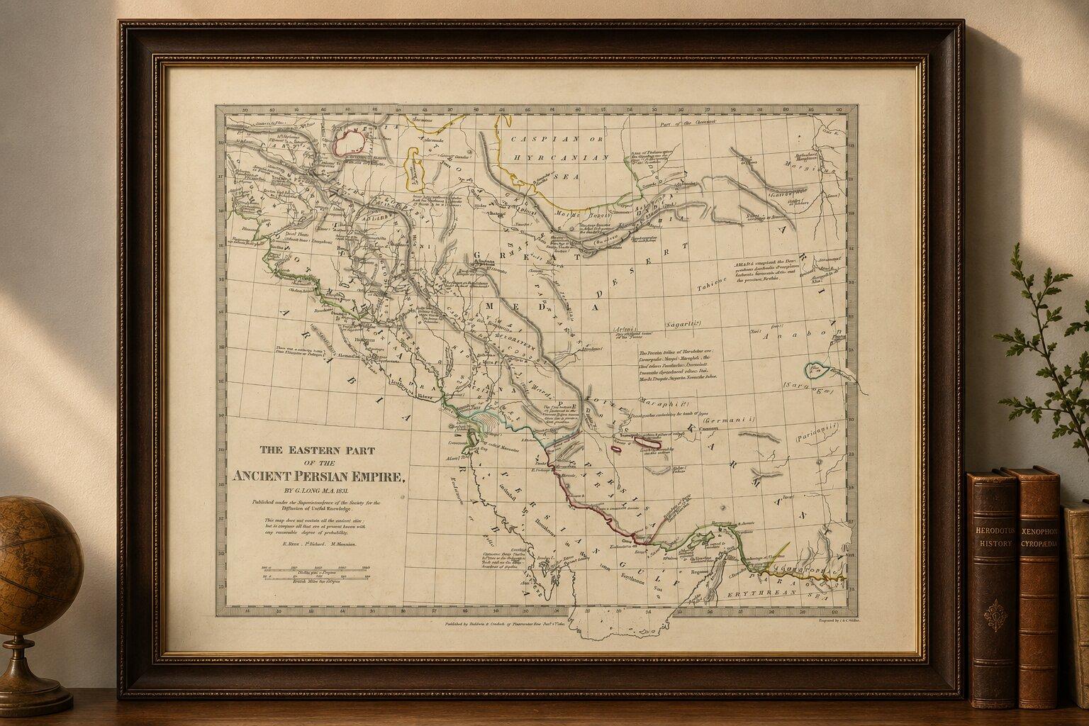
SDUK maps are increasingly admired today for their blend of educational purpose, elegant engraving, and understated design. This example works particularly well in libraries, studies, and interiors inspired by Middle Eastern history, neoclassical decoration, or Grand Tour aesthetics. A dark walnut, ebonized, or classical gilt frame with a wide ivory mat would complement the delicate linework beautifully.

Special note: This is an original antique engraving, not a reproduction. The piece is sold unframed; any framed images are shown for presentation and interior inspiration only and may not always be to scale.

More from West Asia & the Holy Land

Ask about this sheet

Ancient Persian Empire Map of Persia, Babylon & Arabia, Published 1831
1831 · Ref. BG-14279-62 · € 575
We reply by email, usually within one working day.

Your favorites

Saved in this browser. Email the list to yourself to keep it on any device.

We use your email to send this list and, only if you tick the box and confirm, for occasional new arrivals. Every email has an unsubscribe link. Bartele Gallery, the Netherlands.