About this sheet
Turkey, Persia & Arabia Antique Map by James Wyld, Bosphorus 1839
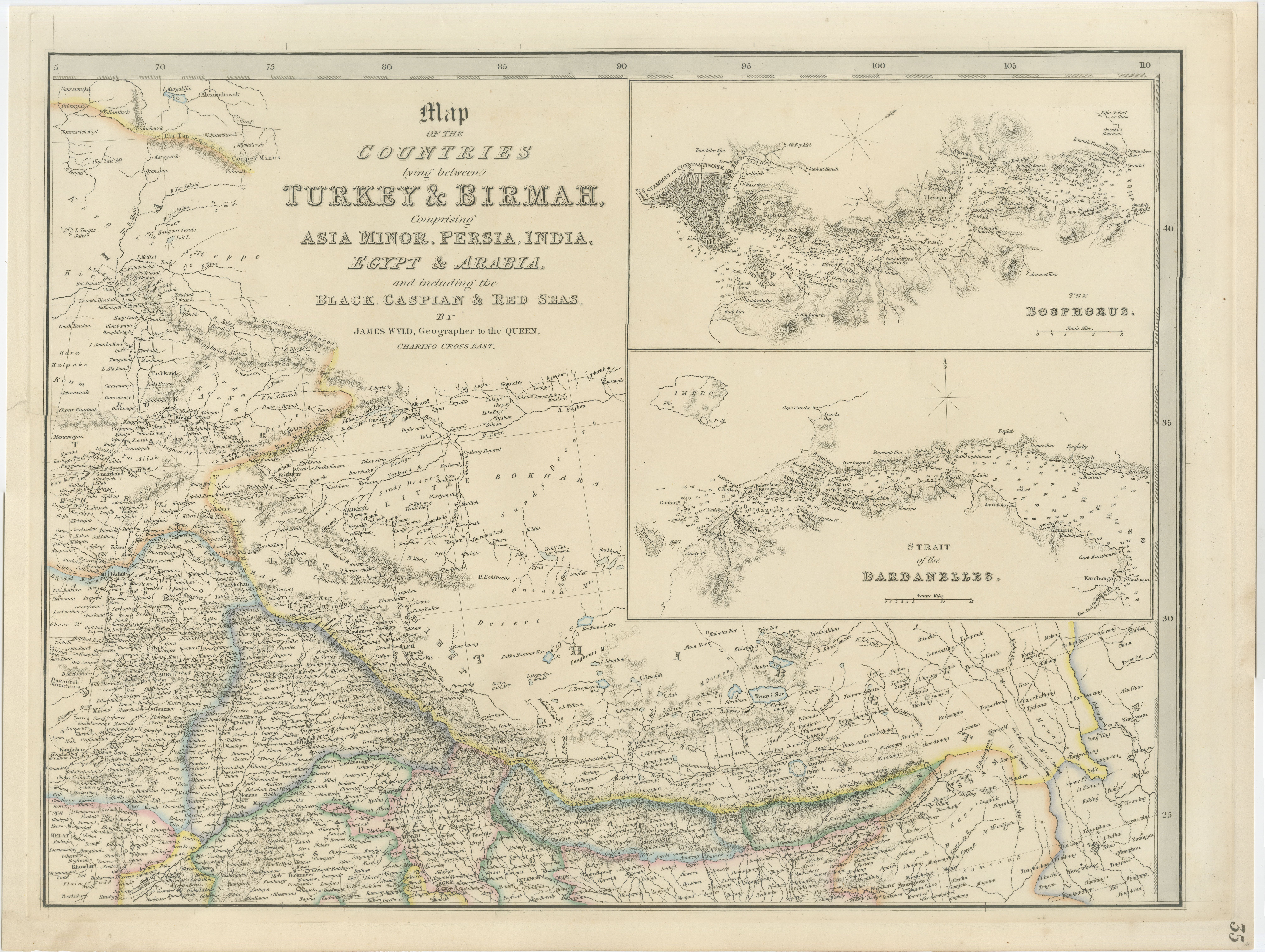
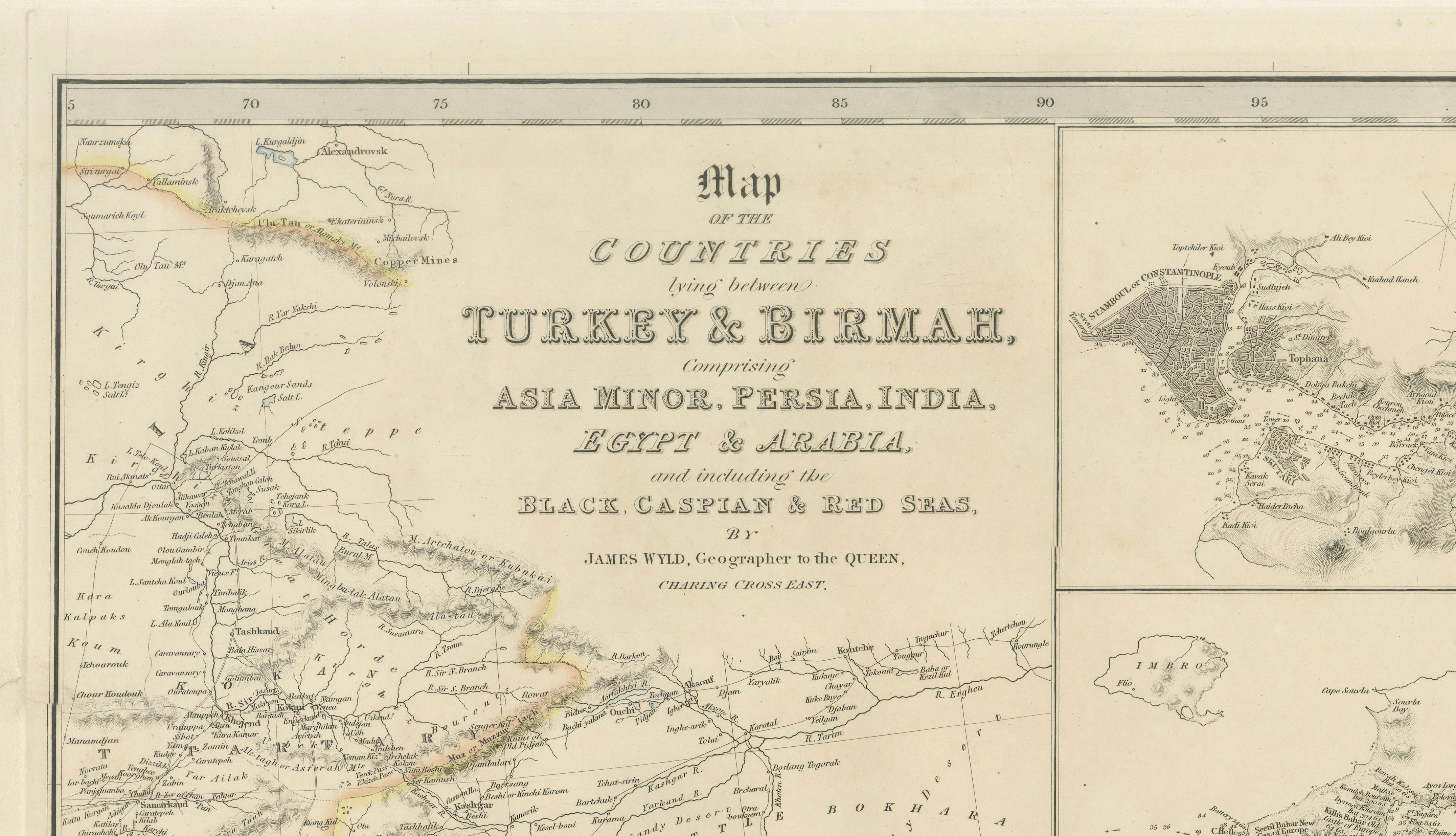
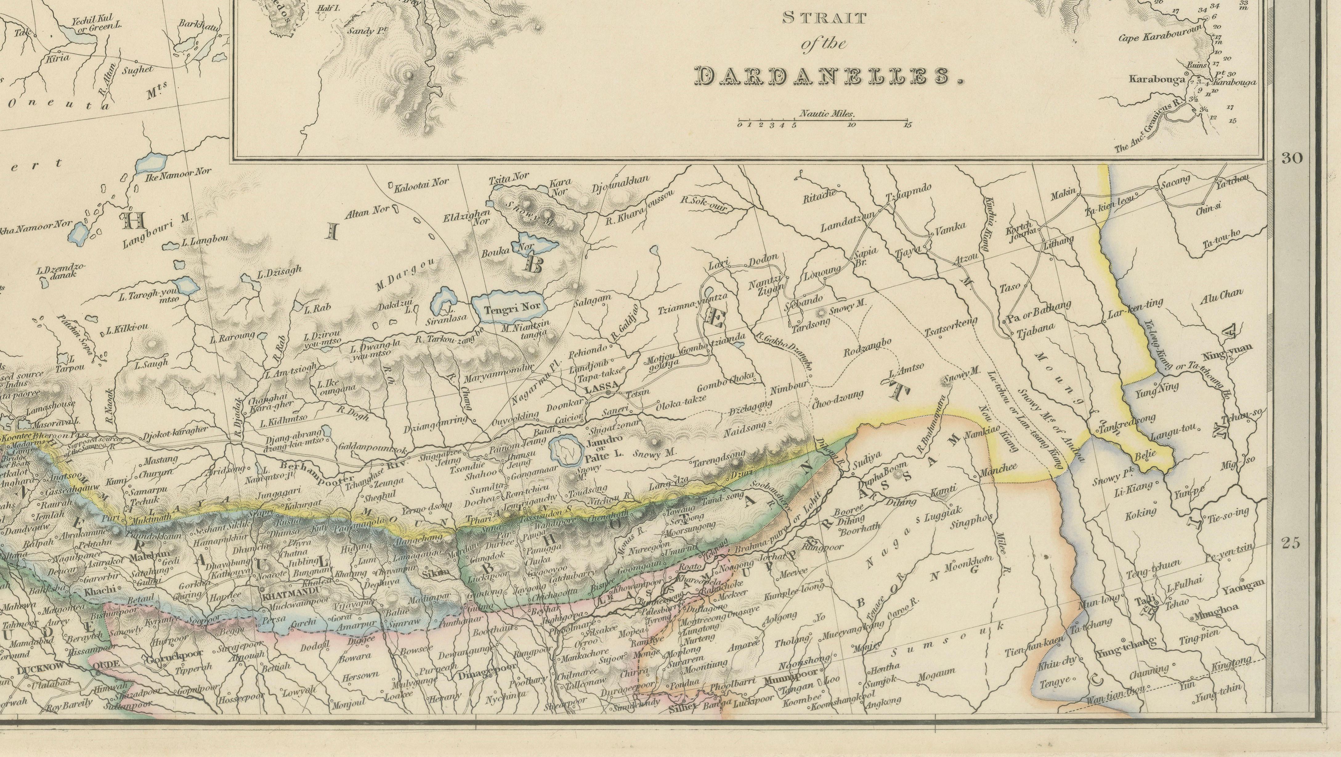
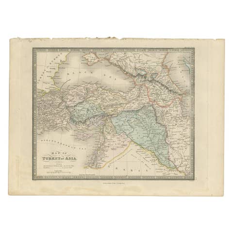
This finely engraved antique map by the celebrated British cartographer James Wyld presents a sweeping geographical view of the lands between Turkey and Burma, encompassing Asia Minor, Persia, India, Egypt, and Arabia, together with the Black, Caspian, and Red Seas. Published in London during the mid-19th century, the map reflects the growing British fascination with trade routes, imperial geography, and strategic connections between Europe and Asia during the Victorian era.
The composition is especially attractive for its combination of broad regional coverage and detailed inset maps. Two finely rendered inset charts depict the Bosphorus and the Strait of the Dardanelles, emphasizing the strategic maritime gateways linking Europe and Asia. These areas were of enormous geopolitical significance during the 19th century, particularly in relation to the Ottoman Empire and British naval interests.
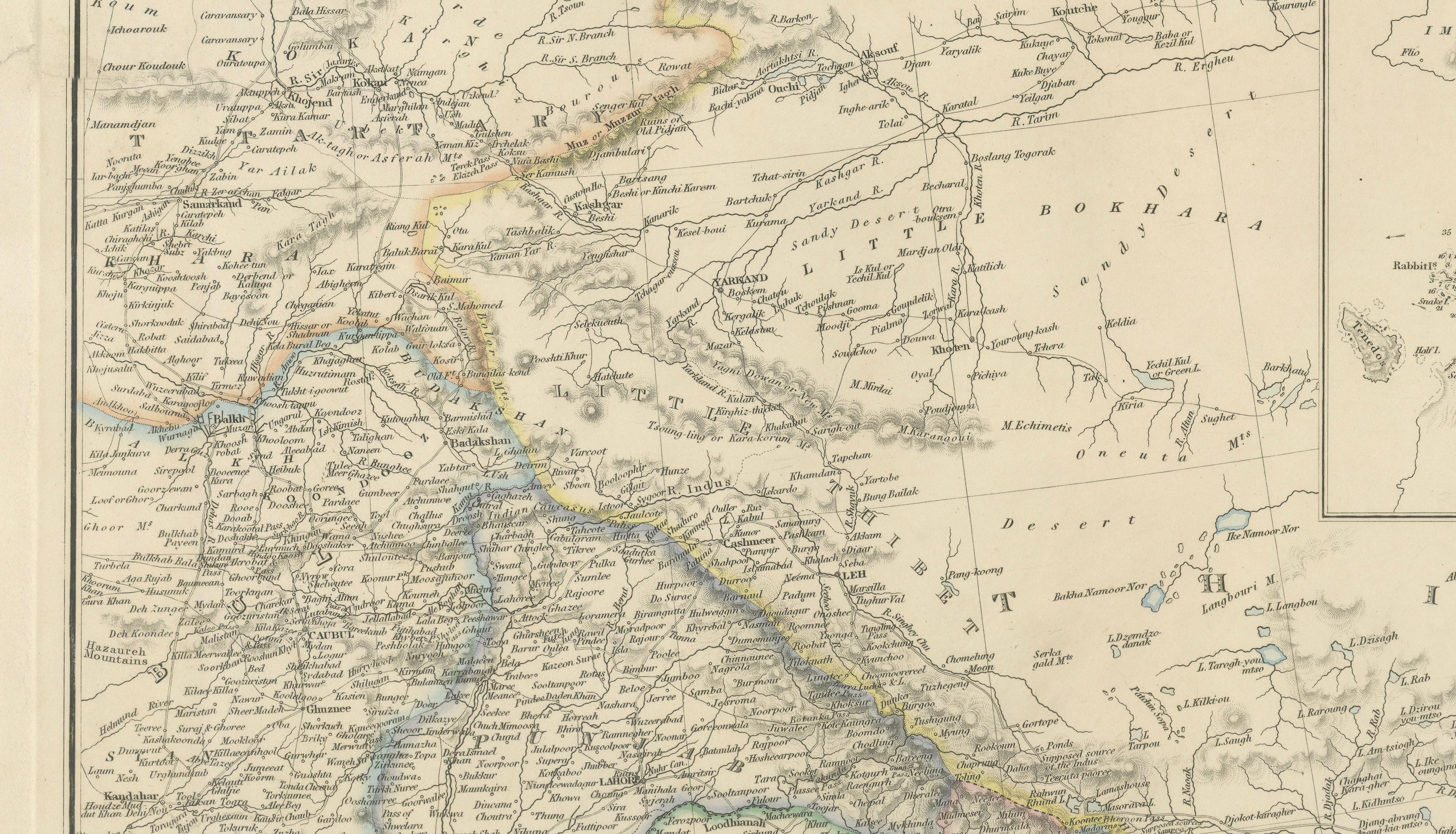
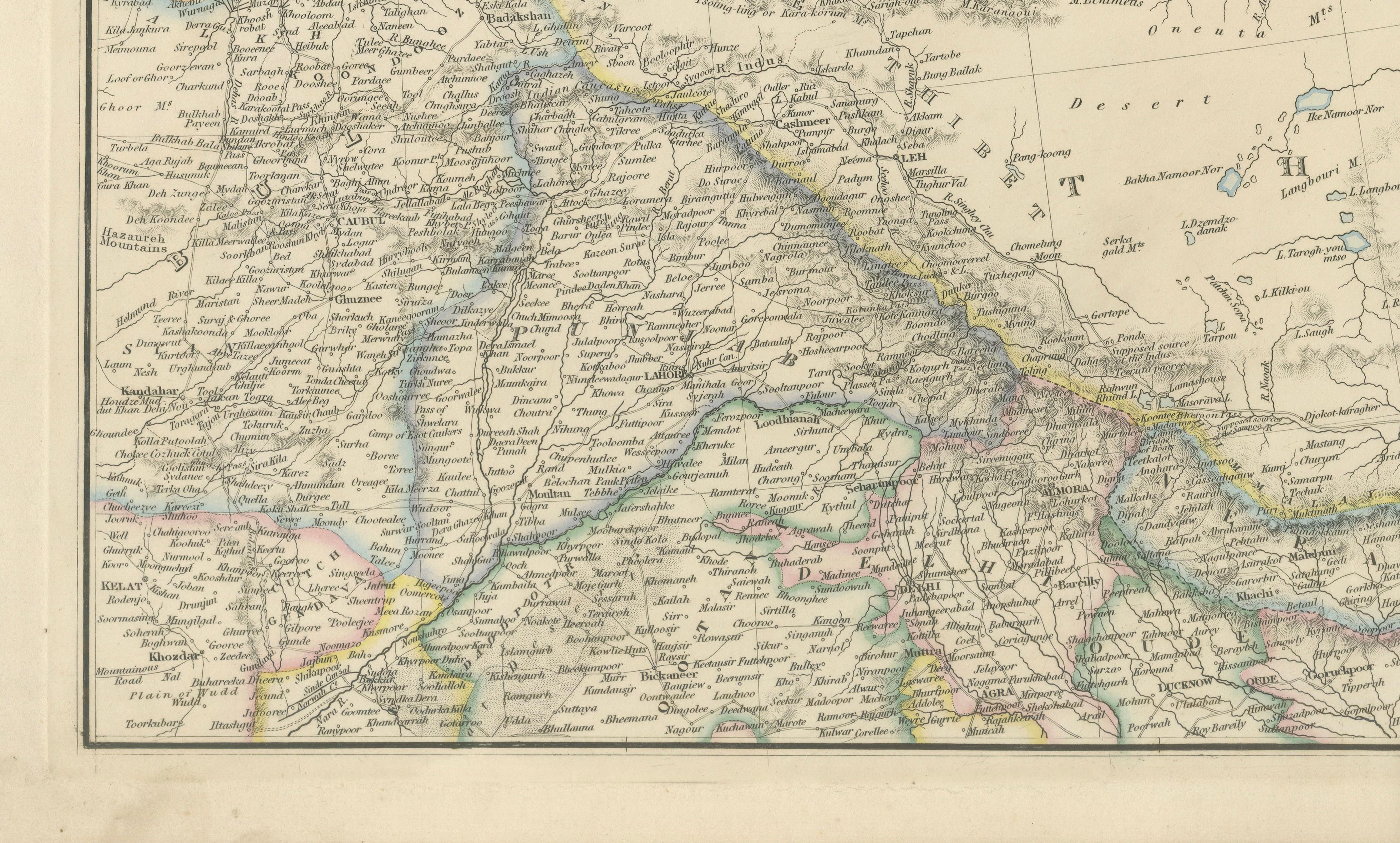
Wyld, appointed Geographer to the Queen, was among the most respected map publishers in London. His maps are admired for their clarity, elegant typography, and highly detailed engraving. This example displays a dense network of cities, caravan routes, rivers, deserts, and mountain ranges extending from the eastern Mediterranean through Mesopotamia and Persia toward India. Original outline hand-coloring subtly distinguishes political boundaries while maintaining an elegant scholarly appearance.
The map has strong decorative appeal and works exceptionally well in both traditional and contemporary interiors, particularly for collectors interested in Ottoman history, Middle Eastern cartography, Silk Road geography, or British imperial exploration. The Bosphorus and Dardanelles inset maps add further visual and historical interest, making this a desirable piece for collectors of maritime or Near Eastern material.
This is an original antique engraving, not a reproduction. All items we offer are authentic period works of art over 100 years old. The piece is sold unframed; any framed images are shown for presentation and interior inspiration only and may not always be to scale.
Condition: Age toning, light foxing and wear. Small tear at left margin touching platemark. Attractive original hand color.
Framing tips: Particularly striking in a dark walnut or ebonized frame with a wide ivory mat. Also works beautifully in a refined study, library, or Ottoman-inspired interior.
Technique: Steel engraving with original hand color
Maker: James Wyld, London, circa 1839