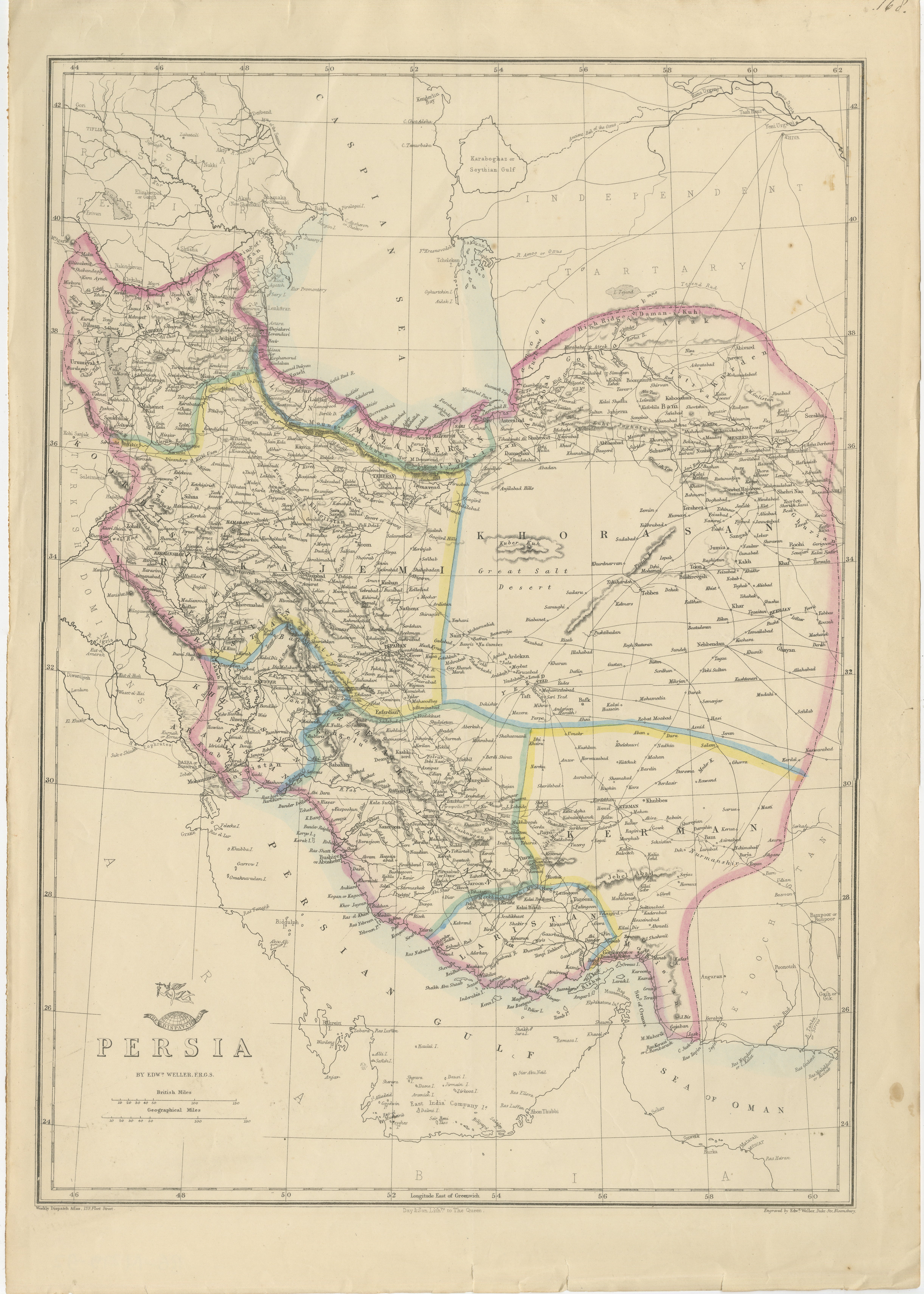
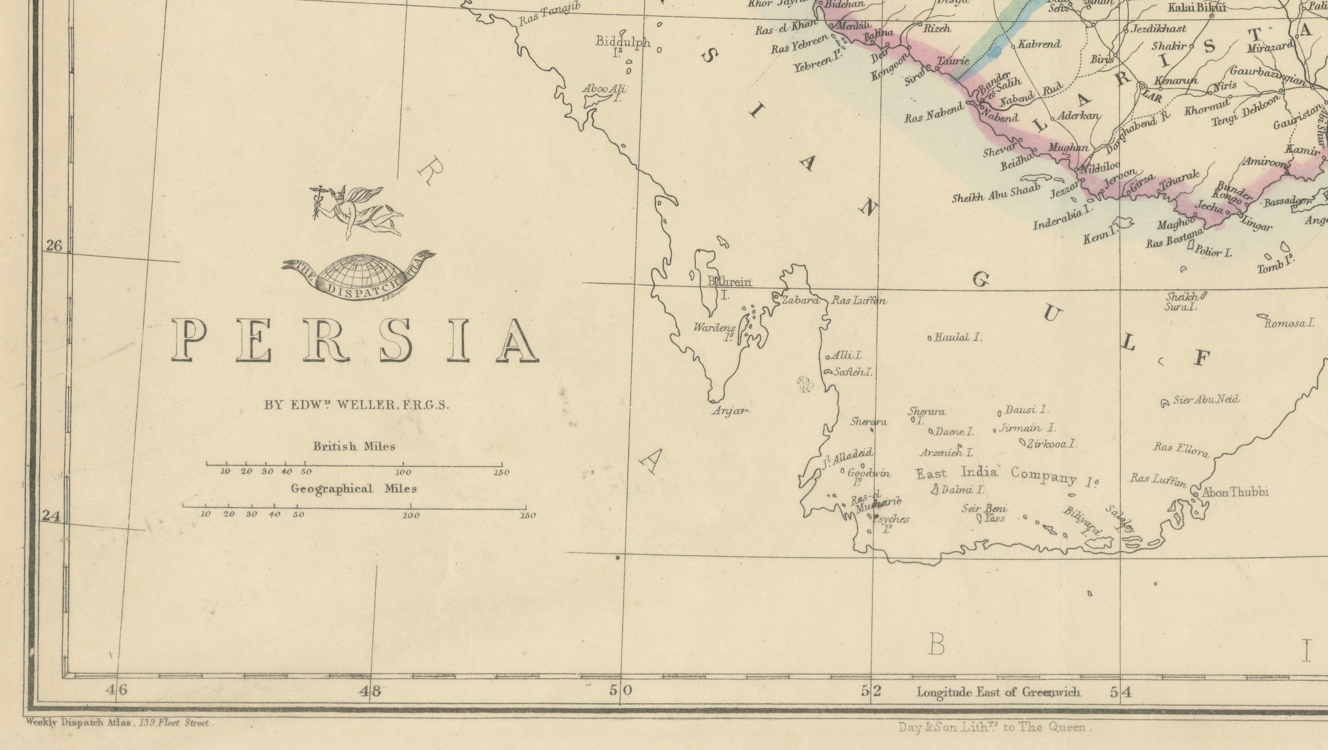
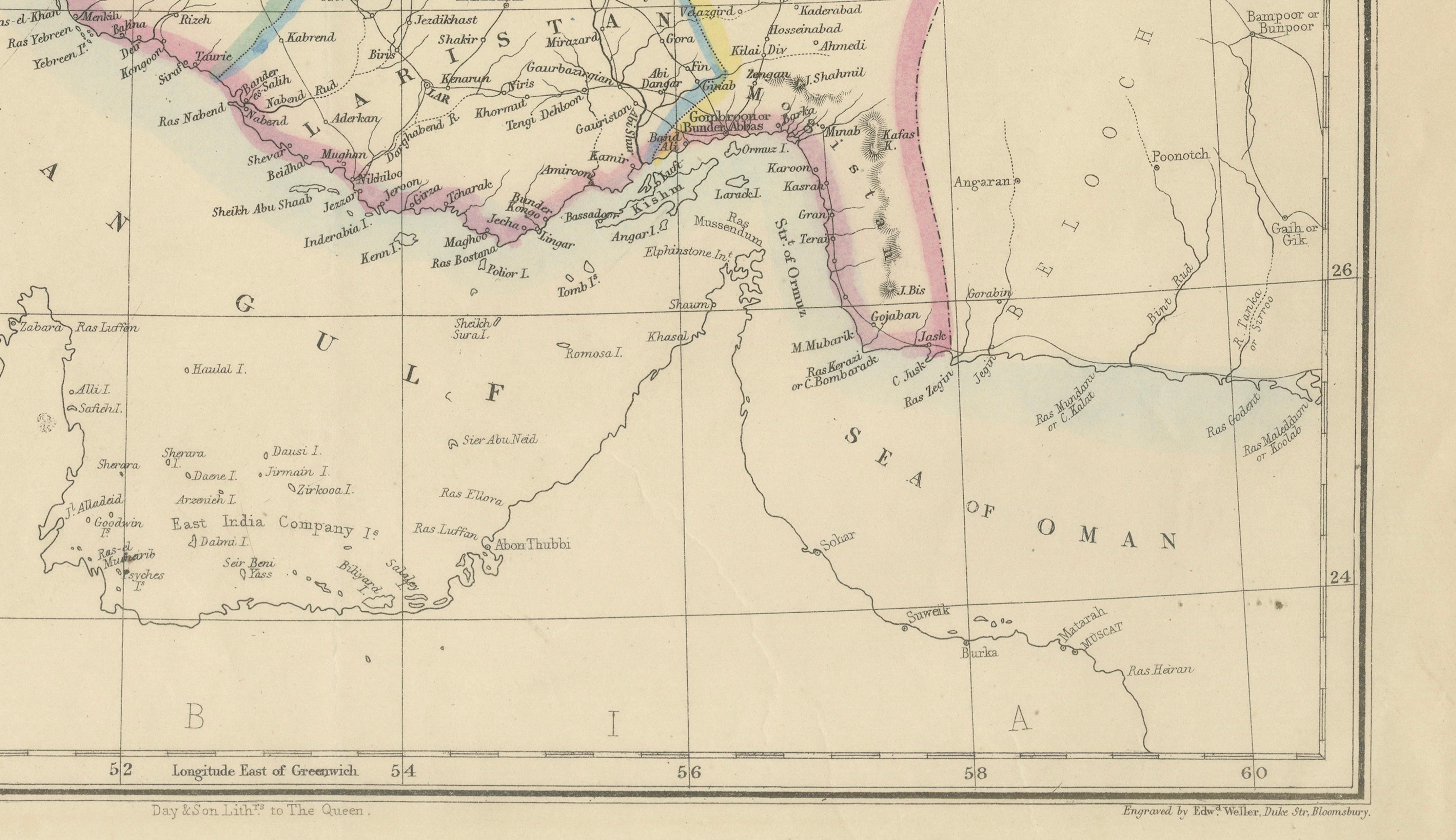
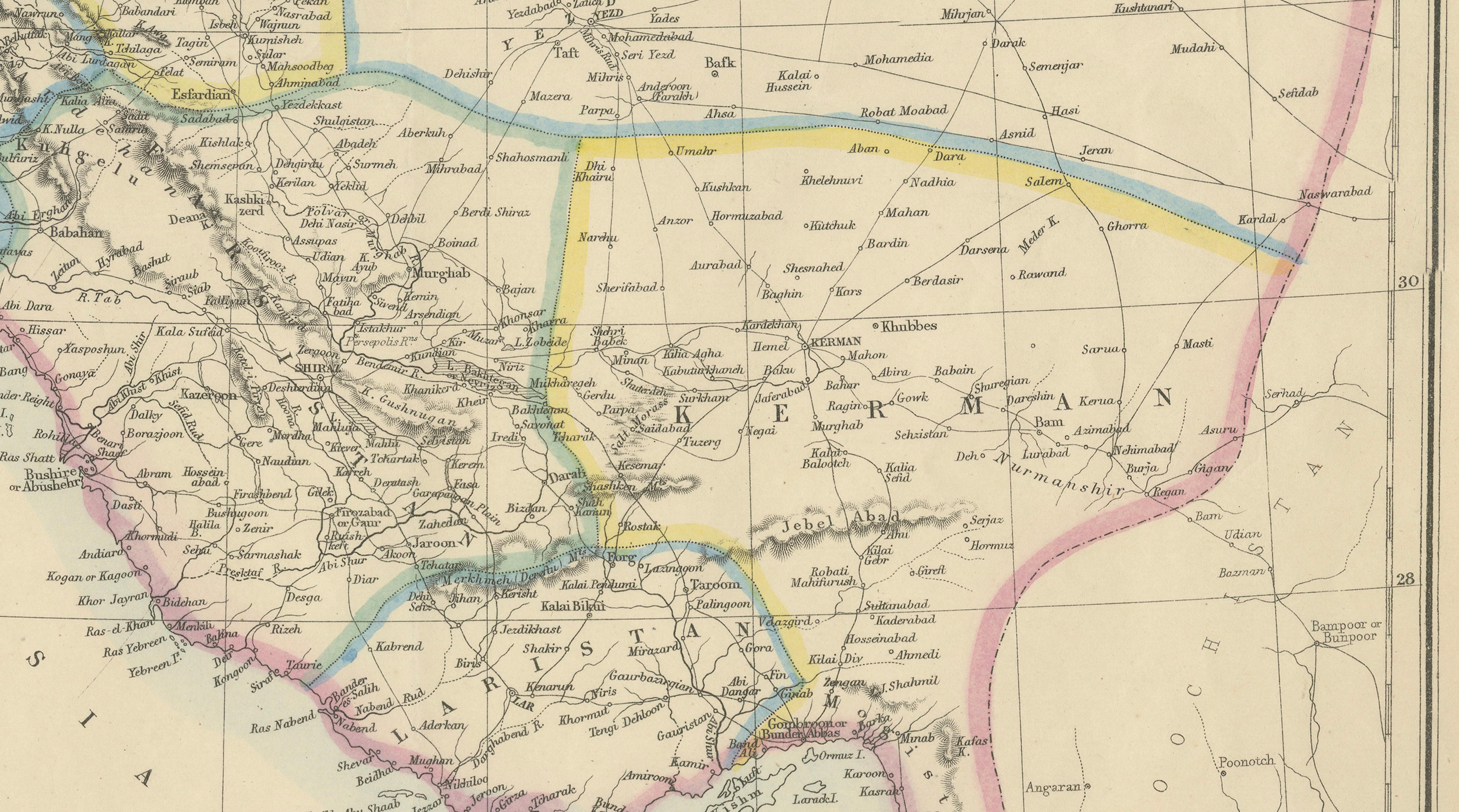
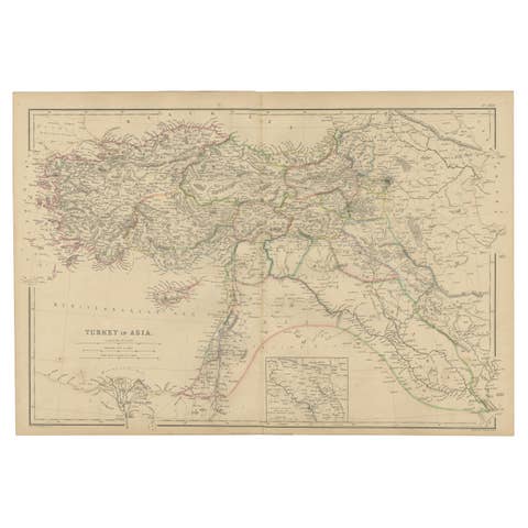
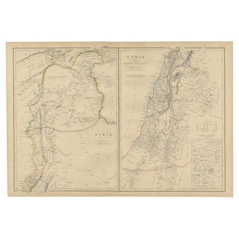
Antique Map of Persia Iran by Edward Weller for Weekly Dispatch Atlas, 1863
€ 239
One of a kind: this is the sheet in the photographs. Ships from Langweer, the Netherlands.
Date
1863
Sheet size
48 × 34 cm (18.9 × 13.4 in)
Condition
Good
Reference
BG-14279-92
Condition
Good antique condition with light age toning, scattered foxing mainly near the upper left margin, and small tears and minor wear along the sheet edges, consistent with age and handling.
About this sheet
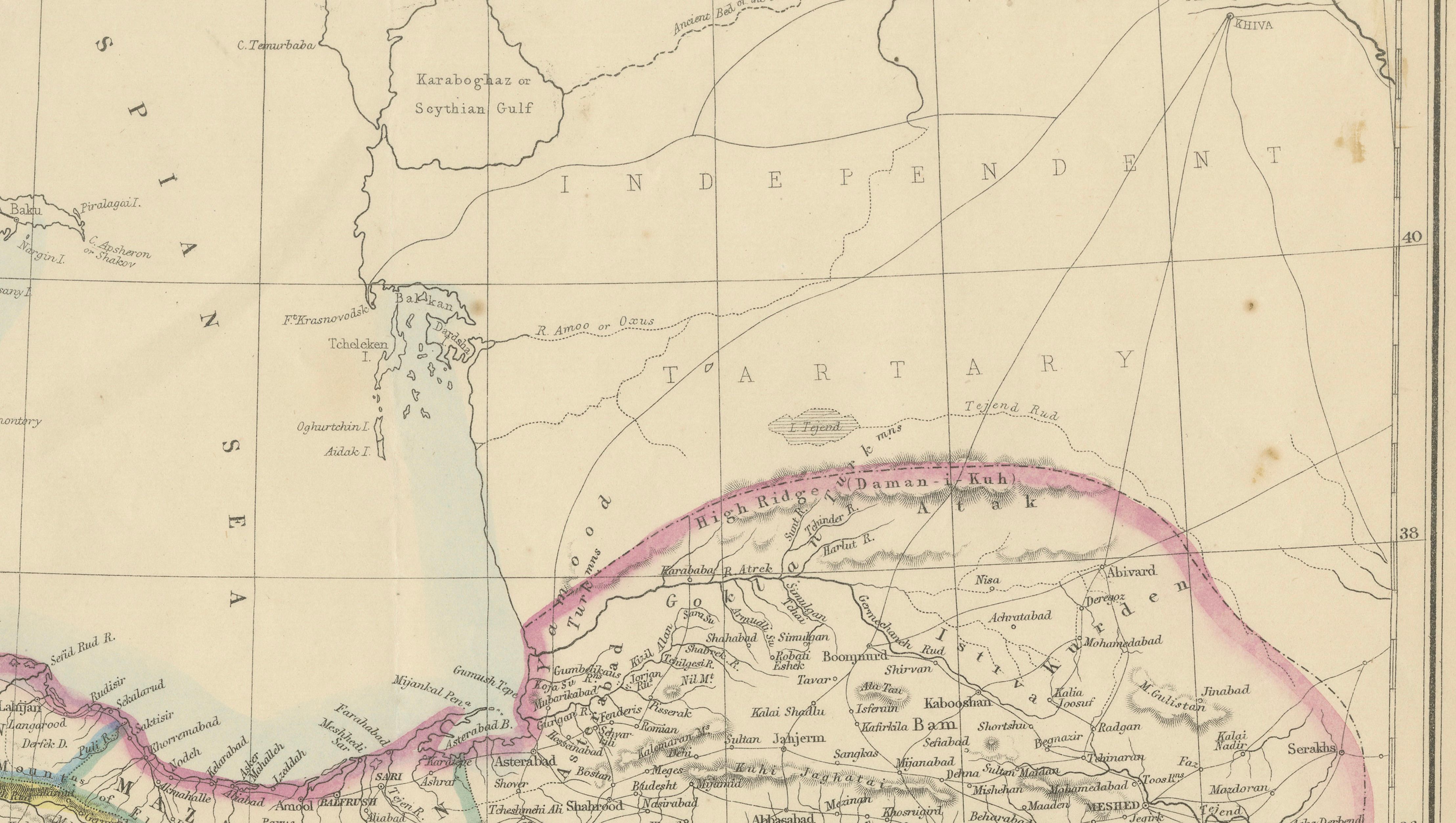
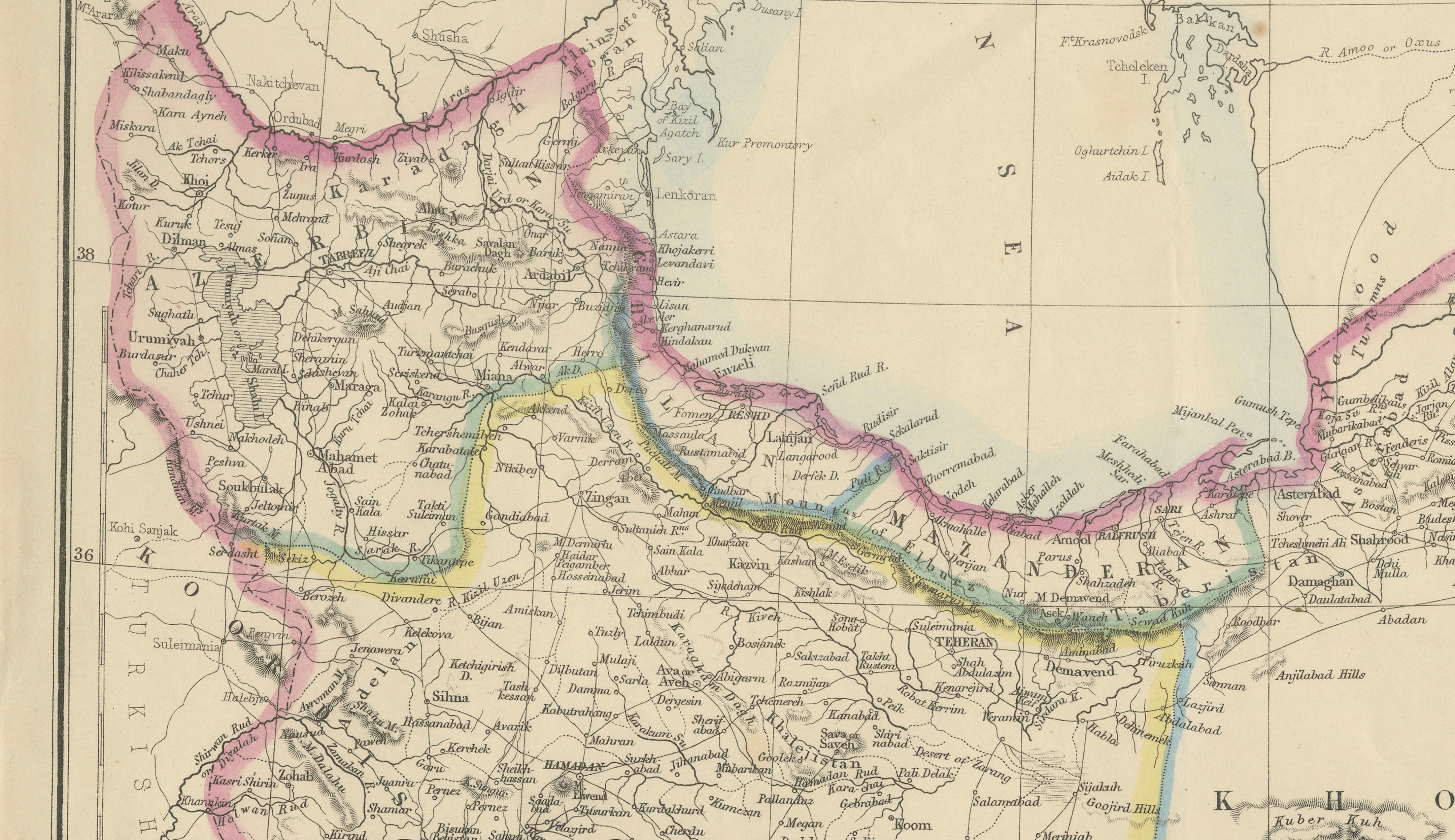
Antique Map of Persia Iran by Edward Weller for Weekly Dispatch Atlas, 1863
Antique map of Persia, present-day Iran, engraved by Edward Weller, F.R.G.S., and published in the Weekly Dispatch Atlas in 1863. This finely detailed mid-19th century map depicts Persia together with surrounding regions including Afghanistan, Beloochistan, Arabia, Independent Tartary, the Ottoman territories, and the Caspian Sea.
The engraving is richly detailed with towns, caravan routes, rivers, mountain ranges, deserts, and provincial divisions carefully engraved throughout. Original period outline hand-coloring highlights the borders in soft pastel tones, giving the map a refined decorative appearance while preserving its historical cartographic character. Maps by Edward Weller are admired for their clarity, accuracy, and elegant engraving style, and his work for the Weekly Dispatch Atlas remains highly collectible today.
An attractive historical map illustrating the geopolitical understanding of Persia during the later Qajar period and the era of expanding British geographic and political interest in the Middle East and Central Asia.
The print is an original antique lithograph, not a reproduction. All items we offer are authentic period works of art over 100 years old. The piece is sold unframed; any framed images are shown for presentation and interior inspiration only and may not always be to scale.
Condition: Good antique condition with light age toning, scattered foxing mainly near the upper left margin, and small tears and minor wear along the sheet edges, consistent with age and handling. Original outline hand-coloring remains bright and attractive.
Framing tips: Beautifully suited to a dark walnut, ebonized, or classic gilt frame with a wide ivory mat for a refined library or study appearance.
Technique: Hand-colored lithograph Maker: Edward Weller, London, 1863