Antique Maps of Europe
2,956 original sheets
Western Europe 1908Northern Europe 146Central Europe 88Eastern Europe 102South-East Europe 135Southern Europe 275Europe as a Whole 169
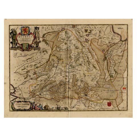
Antique Map of Drenthe, a Province in The Netherlands, 1658
1658 · € 650

Antique Map of France by Zannoni, 1765
1765 · € 520
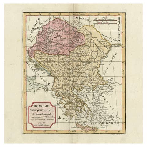
Old Engraved Map of Hungary, European Balkan Countries, Greece and Crete, 1806
1806 · € 450
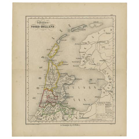
Antique Map of The Province Noord-Holland in The Netherlands, 1864
1864 · € 120
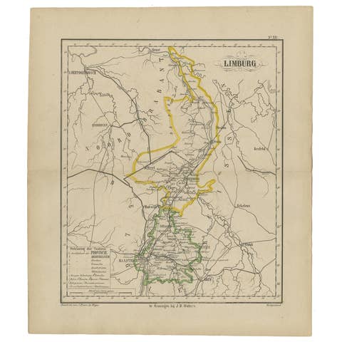
Antique Map of the Province Limburg, The Netherlands, 1864
1864 · € 130
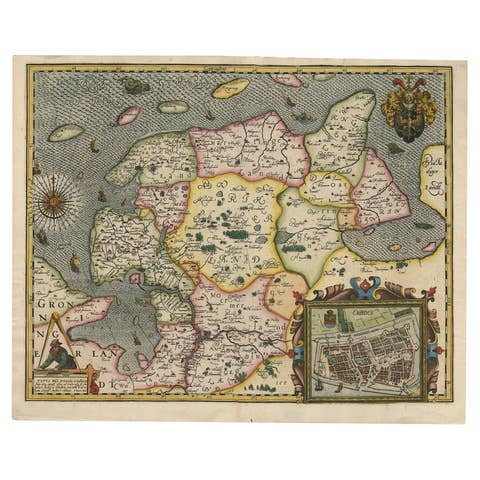
Stunning Decorative Antique Map of East Frisia with an Inset of Emden, c.1610
1610 · € 3 250
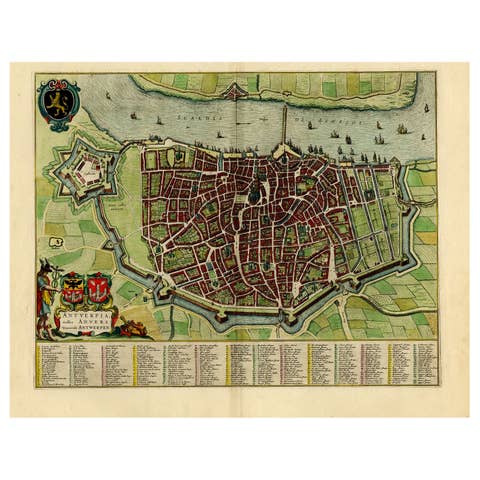
Beautiful Original Antique Map of Antwerp, Belgium by Mapmaker Blaeu, ca.1652
1652 · € 2 500
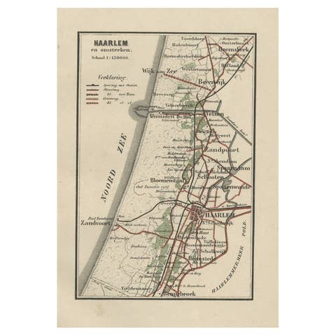
Antique Map of Dutch Cities Haarlem, Zandvoort, Bloemendaal, Wijk aan Zee, 1884
1884 · € 240
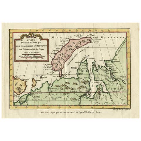
Decorative Original Old Map of Nova Zembla and the Russian Mainland, ca.1760
1760 · € 450
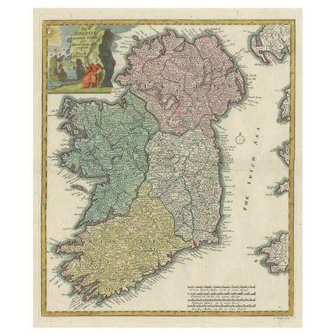
Decorative Hand-Colored Antique Map of the Four Irish Provinces, Ireland, c1718
€ 850
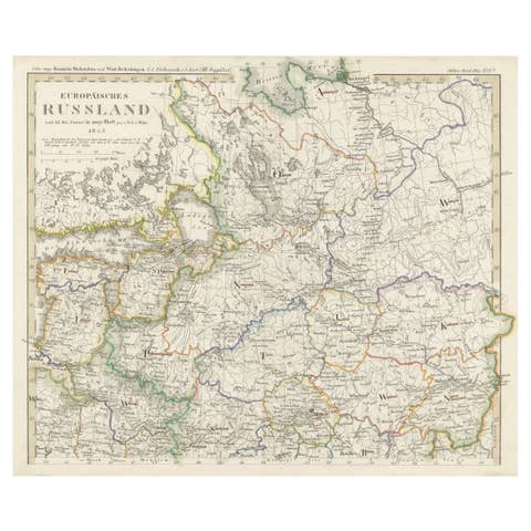
Antique Map of Russia in Europe on Two Sheets from an Old German Atlas, Ca.1825
1825 · € 450
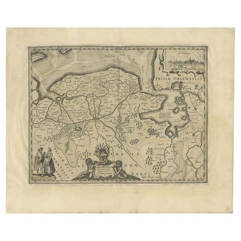
Antique Map of the Province of Groningen in the Netherlands, 1634
1634 · € 780
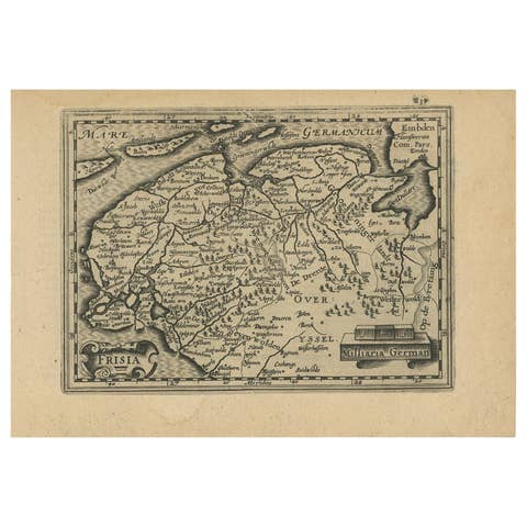
Antique Map of Friesland and Groningen in The Netherlands, 1616
1616 · € 360
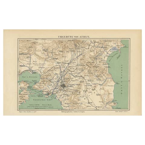
Antique Map of the Region of Athens from a German Atlas of 1893
1893 · € 85
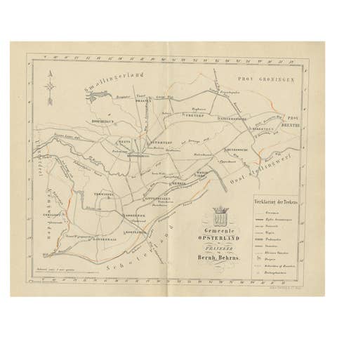
Antique Dutch Map of The Opsterland Township in Friesland, 1861
1861 · € 120
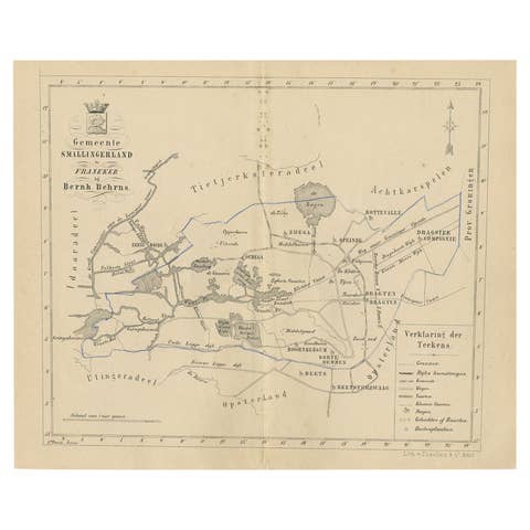
Antique Map of The Dutch Smallingerland Township, 1861
1861 · € 92

Antique Map of Italy from an Old French Atlas, 1842
1842 · € 330
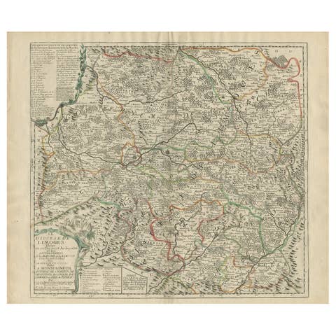
Antique Map of the Limoges Region in France, c.1690
1690 · € 650
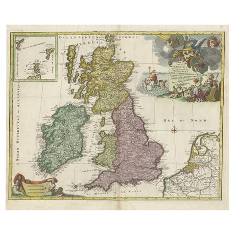
Old Map of the UK & Ireland, Insets of Orkney, Shetland and Faroe Islands, 1786
1786 · € 1 350
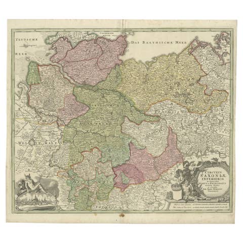
Antique Engraved Map of Saxonia in Northern Germany, ca.1721-1750
1721 · € 850
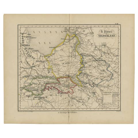
Antique Map of Gelderland with the Veluwe Etc, the Netherlands, 1864
1864 · € 240
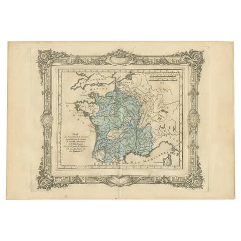
Antique Map of France under the Reign of Francois I, 1765
1765 · € 148
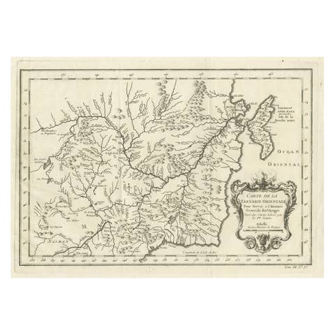
Antique Map of Northern China and Far Eastern Russia Around the Amur River, 1754
1754 · € 500
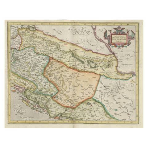
Old Eastern Balkans Map, with Dalmatia, Croatia, Slavonia, Bosnia, Serbia, 1633
1633 · € 950
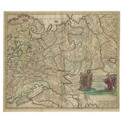
Antique Hand-Colored Map of Western Russia and Ukraine, c.1680
1680 · € 670

Shetland Islands Sea Chart – Antique Nautical Map by Ottens Brother c.1745
1745 · € 1 250
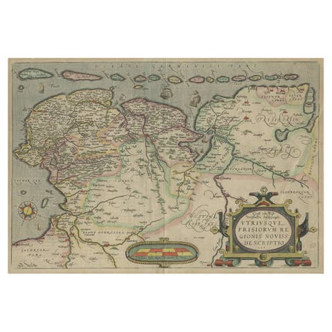
Antique Map of Friesland, Groningen and German East Friesland by Ortelius, 1603
1603 · € 320
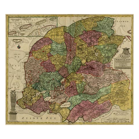
Antique Map of the Province of Friesland, The Netherlands, c.1760
1760 · € 543

Antique Copper Engraved Map of Germany in the Early 18th Century, c.1740
1740 · € 150
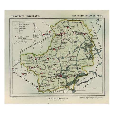
Antique Map of Idaarderadeel, Township In Frieslands, The Netherlands, 1868
1868 · € 140
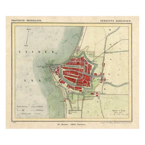
Antique Map of Harlingen, a Harbour City in Friesland, The Netherlands, 1868
1868 · € 140
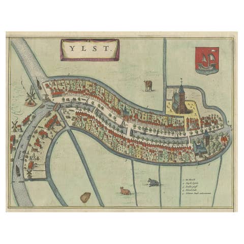
Antique Hand-Colored Map of the Frisian City of IJlst, The Netherlands, 1649
1649 · € 375
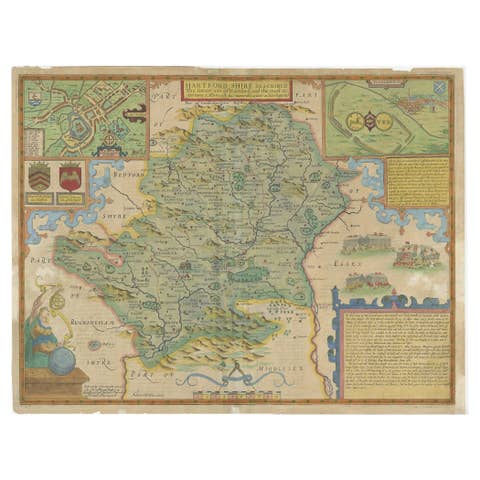
Antique Map of Hertfordshire in England by Speed, 1627
1627 · € 389
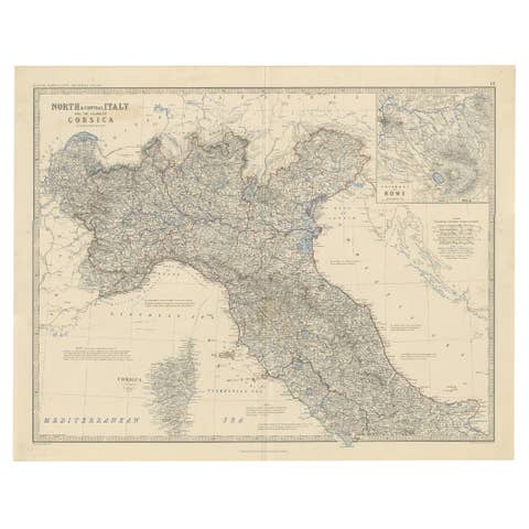
Antique Map of North and Central Italy and the Island of Corsica, c.1860
1860 · € 310
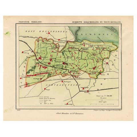
Antique Map of Kollumerland, a Township in Friesland, The Netherlands, 1868
1868 · € 130
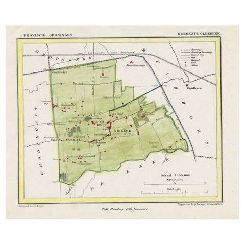
Dutch Municipality of Oldekerk in Groningen, The Netherlands, 1865
1865 · € 120
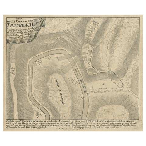
Old Engraving of the Trarbach Battle in Rhineland-Palatinate, Germany, c.1710
1710 · € 280

Antique Map of Holland with Colorful Vignettes, 1851
1851 · € 165
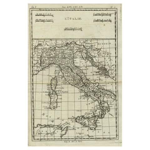
Antique Map of Italy, Corsica, Sardinia and Sicily, ca.1780
1780 · € 320
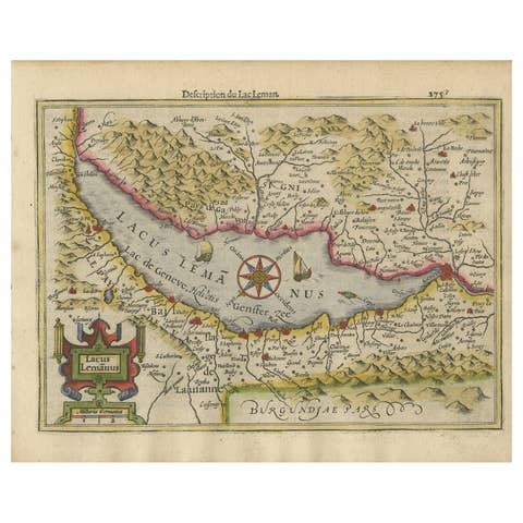
Beautiful Original Copper Engraved Map of Lake Geneva in Switzerland, 1613
1613 · € 650
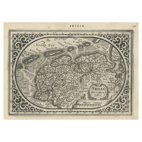
Antique Map of Friesland and Groningen, Provinces of the Netherlands, 1628
1628 · € 350
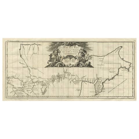
Antique Map with Details of Berings' Expedition into Russians' Far East, 1737
1737 · € 1 450
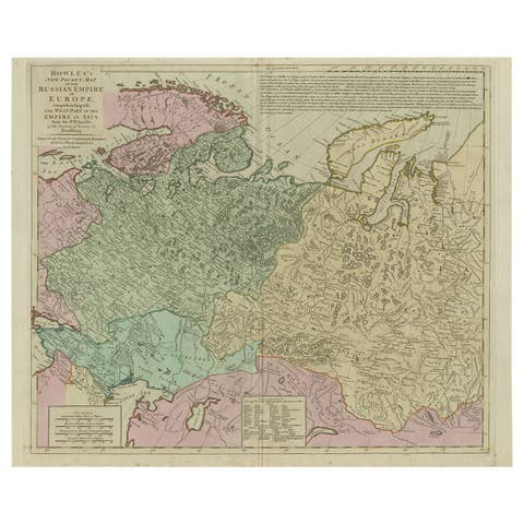
Antique Map of the Russian Empire in Europe, ca.1780
1780 · € 850
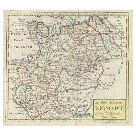
Antique Map of West Russia, with Title a New Map of Moskovy, 1741
1741 · € 265
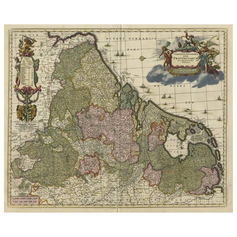
Antique Map of Low Countries by Nicolaes Visscher, Circa 1680
1680 · € 1 450
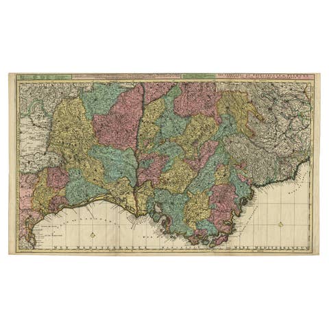
Map of Languedoc-Roussillon and Provence in France and Piedmont in Italy, c1680
€ 2 750
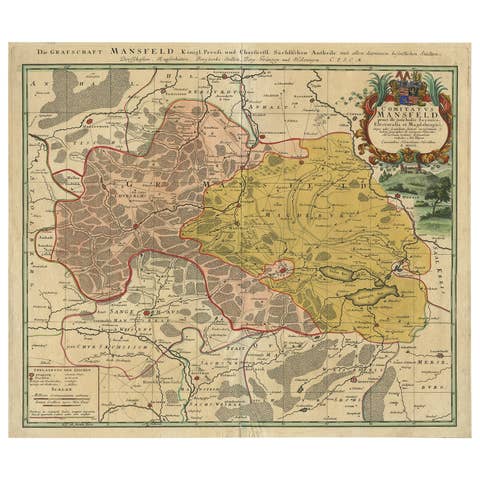
Detailed Antique Map Showing Mansfeld in Saxony-Anhalt, Germany, ca.1750
1750 · € 460

Striking Antique Map of Luxembourg and Northern France 'Lotharingen', c.1680
1680 · € 650