Striking Antique Map of Luxembourg and Northern France 'Lotharingen', c.1680
€ 650
Original antique · The actual sheet photographed · Certificate of authenticity on request · Sold unframed · Worldwide shipping from € 15 (rates)
Date
1680
Sheet size
47.5 × 56.5 cm (18.7 × 22.2 in)
Condition
Fair
Reference
PC-58068
Condition
Repaired: Remargined for framing. Middle fold partly refibred.
About this sheet
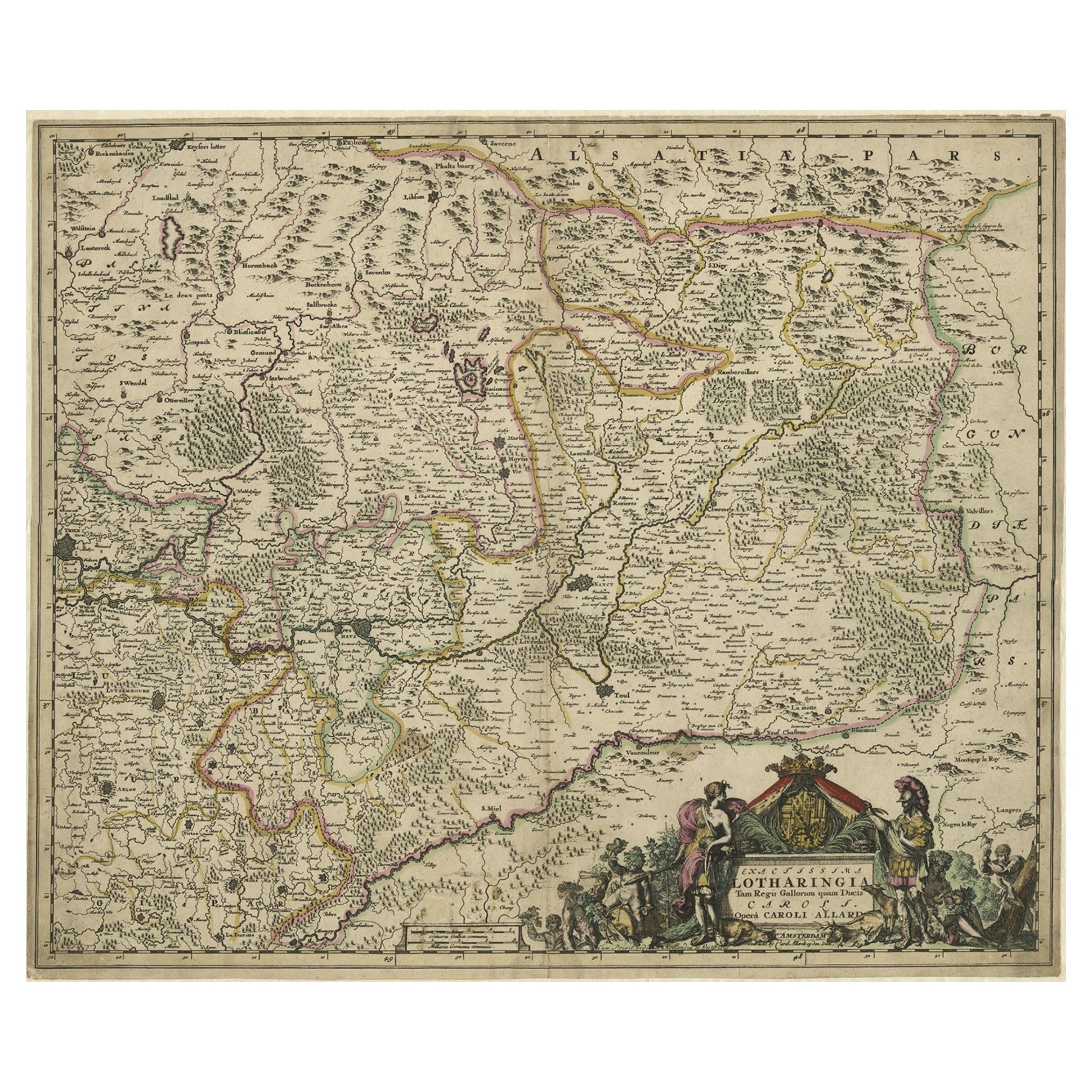
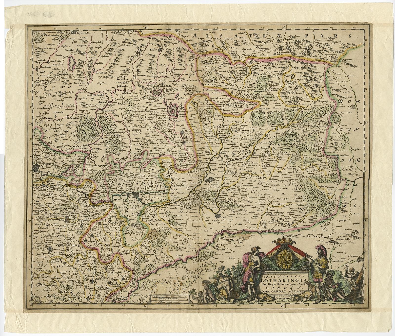
Antique map titled 'Exactissima Lotharingia tam Regis Gallorum quam Ducis.' -
Striking map of Luxembourg and Northern France. Includes the cities of Toul, Nancy, Metz and Trier. Embellished with a handsome title cartouche. Source unknown, to be determined.
Artists and Engravers: Made by an anonymous engraver after 'Carel Allard'. Carel Allard (1648 - 1709 in Amsterdam) wasr a Dutch art dealer, cartographer and engraver.
Condition: Fair, given age. Narrow margins; remargined for framing. Middle fold partly refibred. A few spots in the scale area below. Top edge with some tiny tears, not affecting image. Original middle fold as issued. General age-related toning and/or occasional minor defects from handling. Please study image carefully.