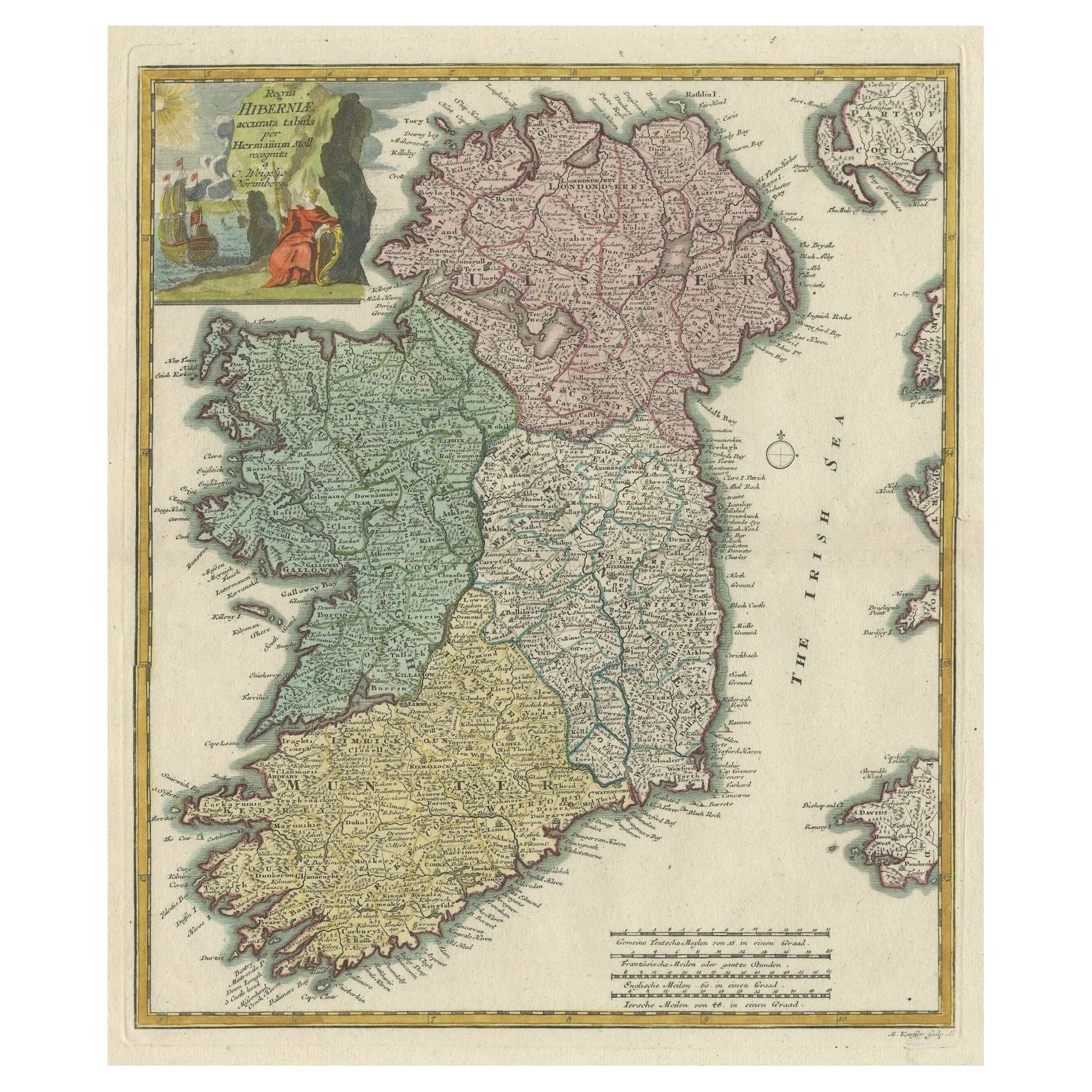
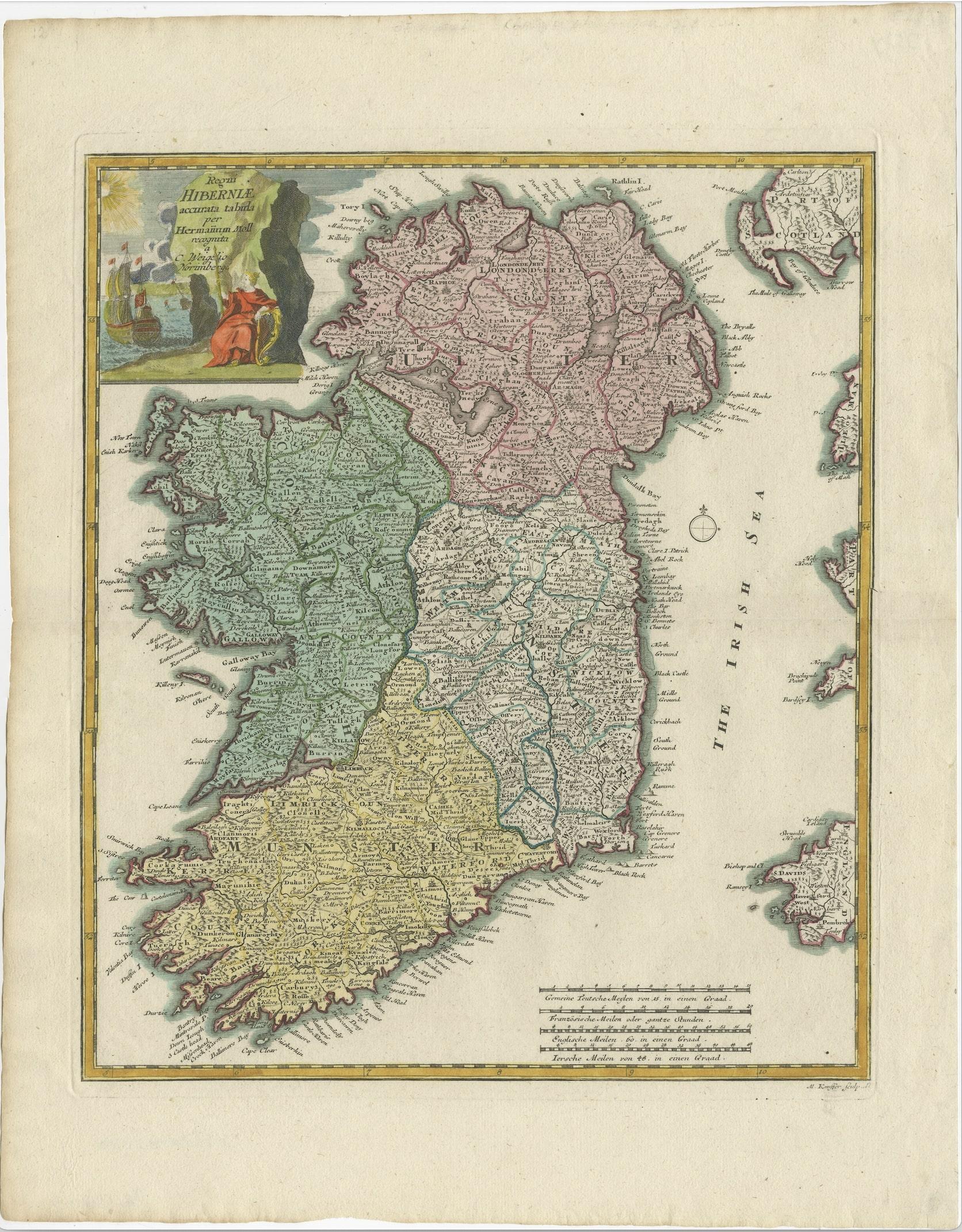
Decorative Hand-Coloured Antique Map of the Four Irish Provinces, Ireland, c1718
€ 850
One of a kind: this is the sheet in the photographs. Ships from Langweer, the Netherlands.
Sheet size
51 × 40 cm (20.1 × 15.7 in)
Condition
Good
Reference
BG-13197-2
Condition
Decorative colouring on handmade paper. One tiny pinhole on the lower Irish coast, hardly visible and one in the top border of the plate mark, outside the image. Overall al very attractive map of Ireland. Study image carefully.
About this sheet
Decorative map of the four Irish provinces, Ireland, 1718, by Christoph Weigel (with credit to Herman Moll), engraved by Michael Kauffer. Old colouring.
Johann Christoph Weigel, known as Christoph Weigel the Elder (9 November 1654 – 5 February 1725), was a German engraver, art dealer and publisher. He was born at Redwitz, Free imperial city of Eger in Egerland, and died in Nuremberg, aged 70.
Condition: Good. Decorative colouring on handmade paper. One tiny pinhole on the lower Irish coast, hardly visible and one in the top border of the plate mark, outside the image. Overall al very attractive map of Ireland. Study image carefully.