Maps & PrintsBartele Gallery · Langweer
Home / Antique Maps / Europe / Western Europe / Germany

Germany · 18th century

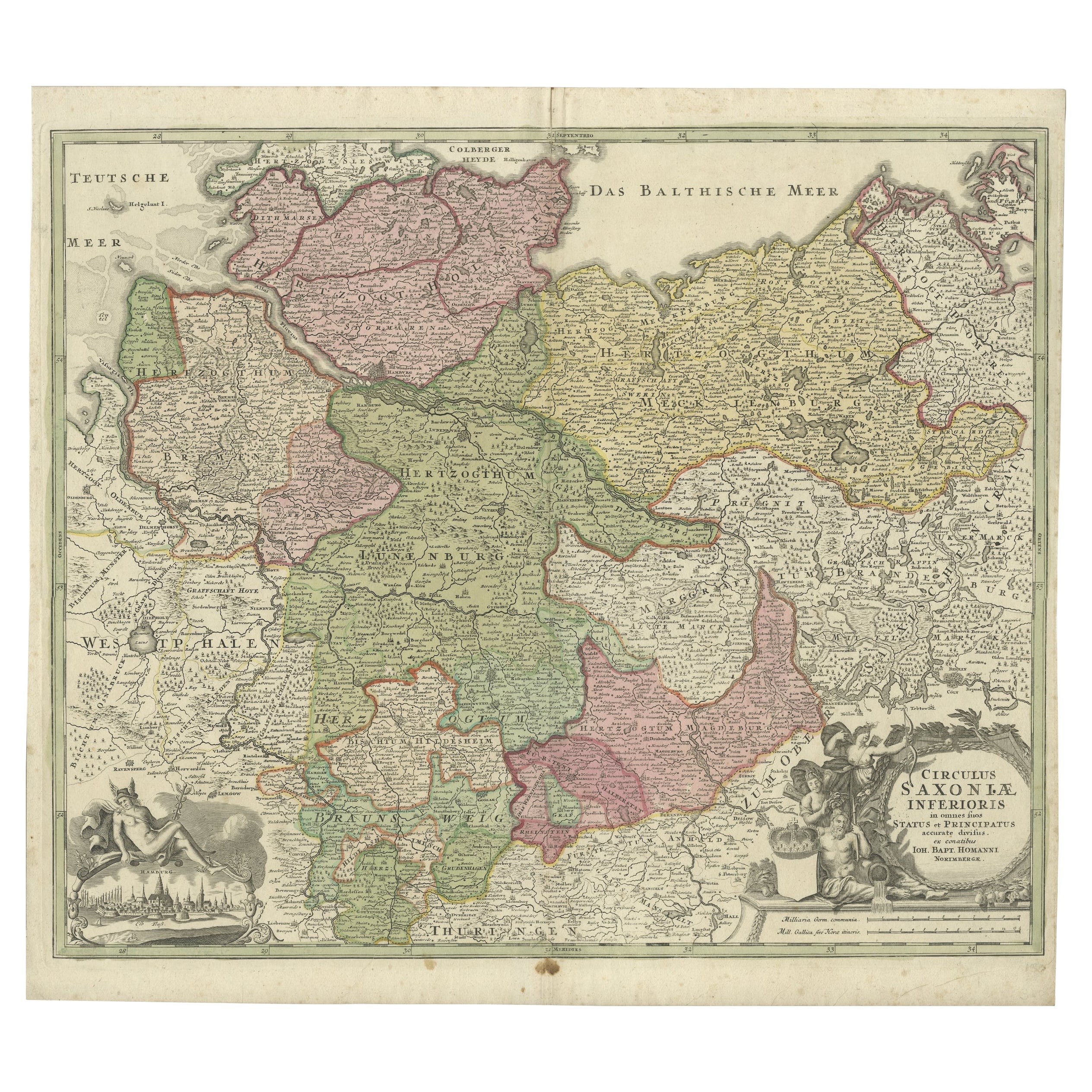
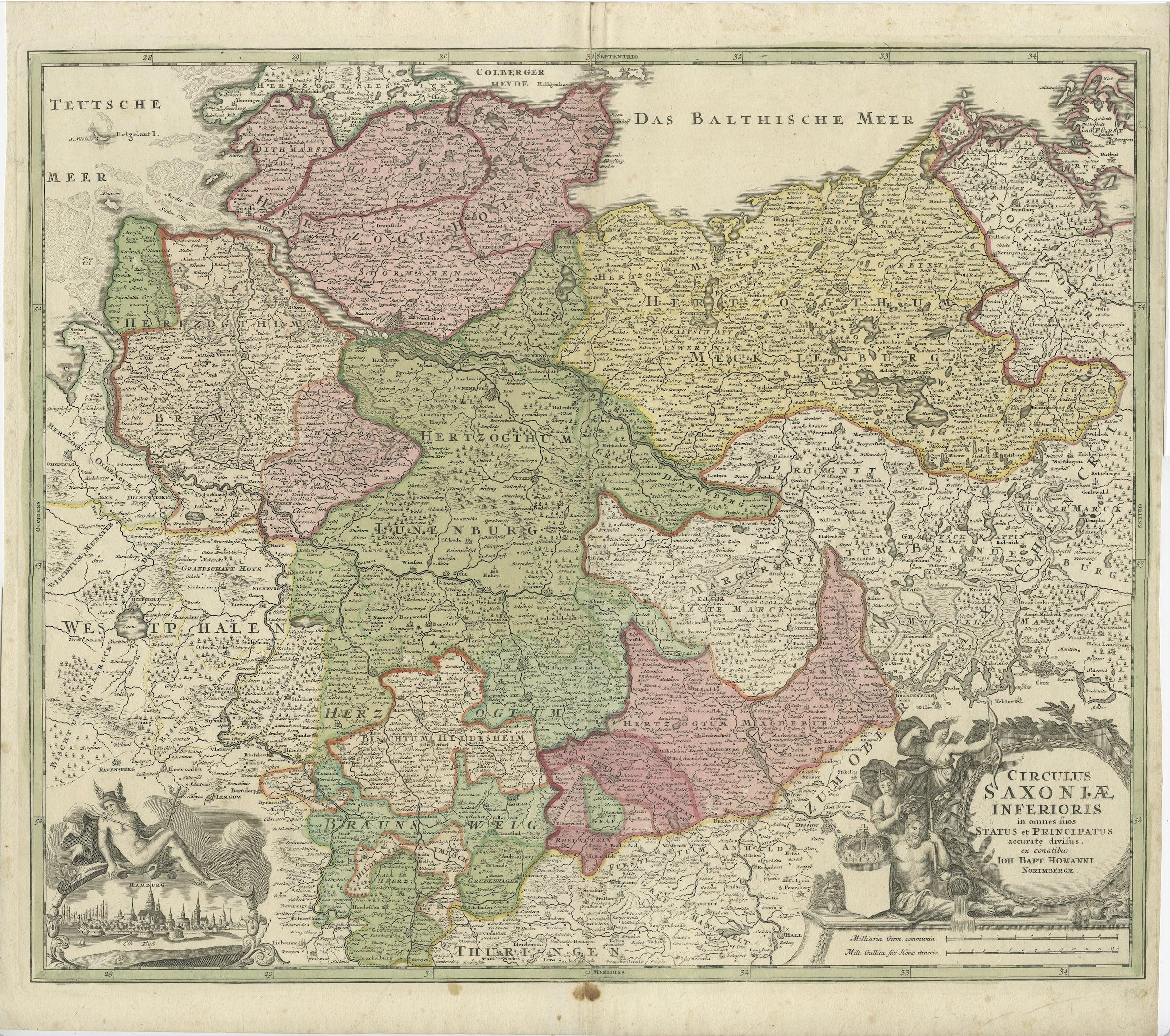
Antique Engraved Map of Saxonia in Northern Germany, ca.1721-1750

€ 850

One of a kind: this is the sheet in the photographs. Ships from Langweer, the Netherlands.

Date
1721
Sheet size
53.5 × 60 cm (21.1 × 23.6 in)
Condition
Good
Reference
BG-13140-4

About this sheet

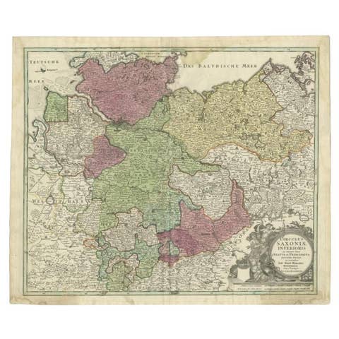
Duitsland, Sassonia; Johannes Baptist Homann - Circulus Saxoniae Inferioris in omnes suos Status et Principatus accurate divisus ex conatibus -

A large map of Lower Saxony, extending from Hamburg with the Elbe River to the Baltic Sea with the island of Rügen to the east.

Decorated cartouche with two scales at lower right, inset engraving of Hamburg at lower left, inside. The map shows northern Germany, and its regions.

Condition: Good. Brown spot in bottom , just outside image in the lower middle fold. Central fold as issued.

More from Germany

Ask about this sheet

Antique Engraved Map of Saxonia in Northern Germany, ca.1721-1750
1721 · Ref. BG-13140-4 · € 850
We reply by email, usually within one working day.