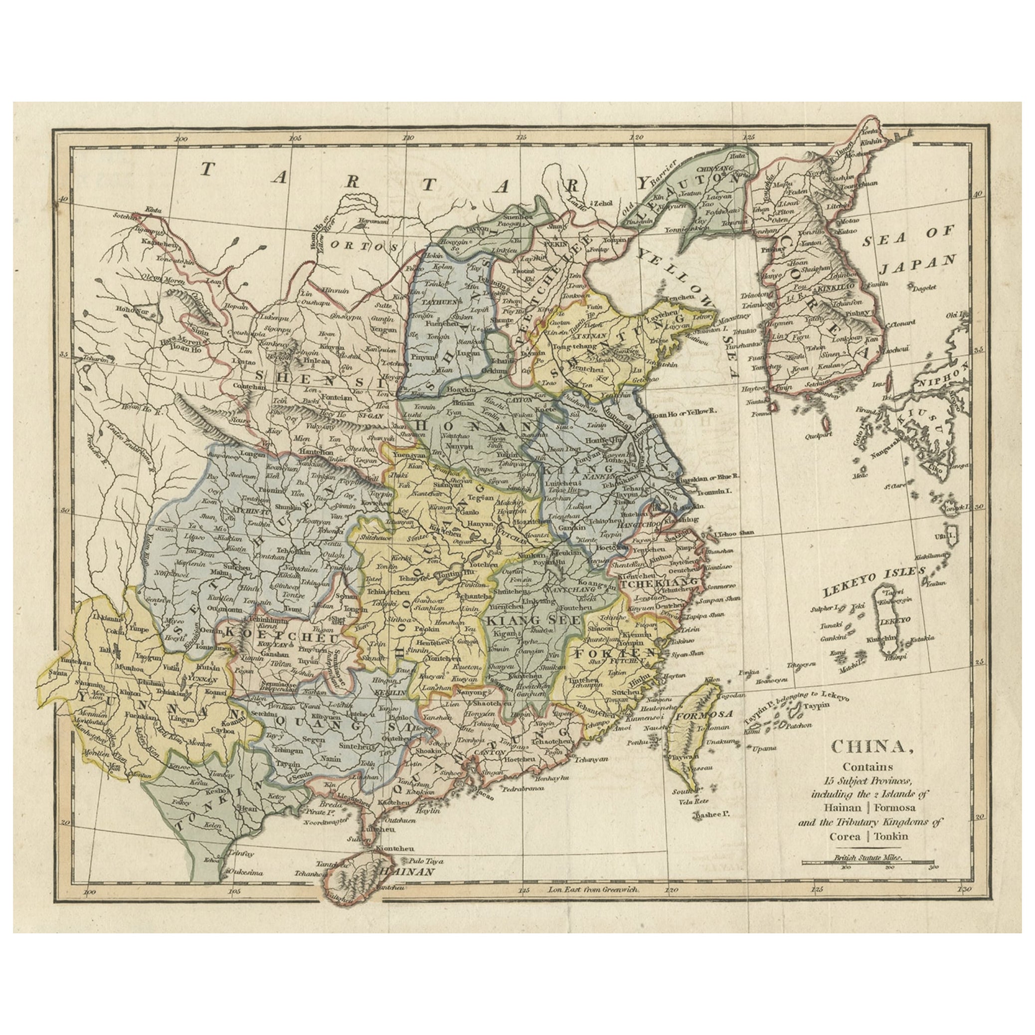
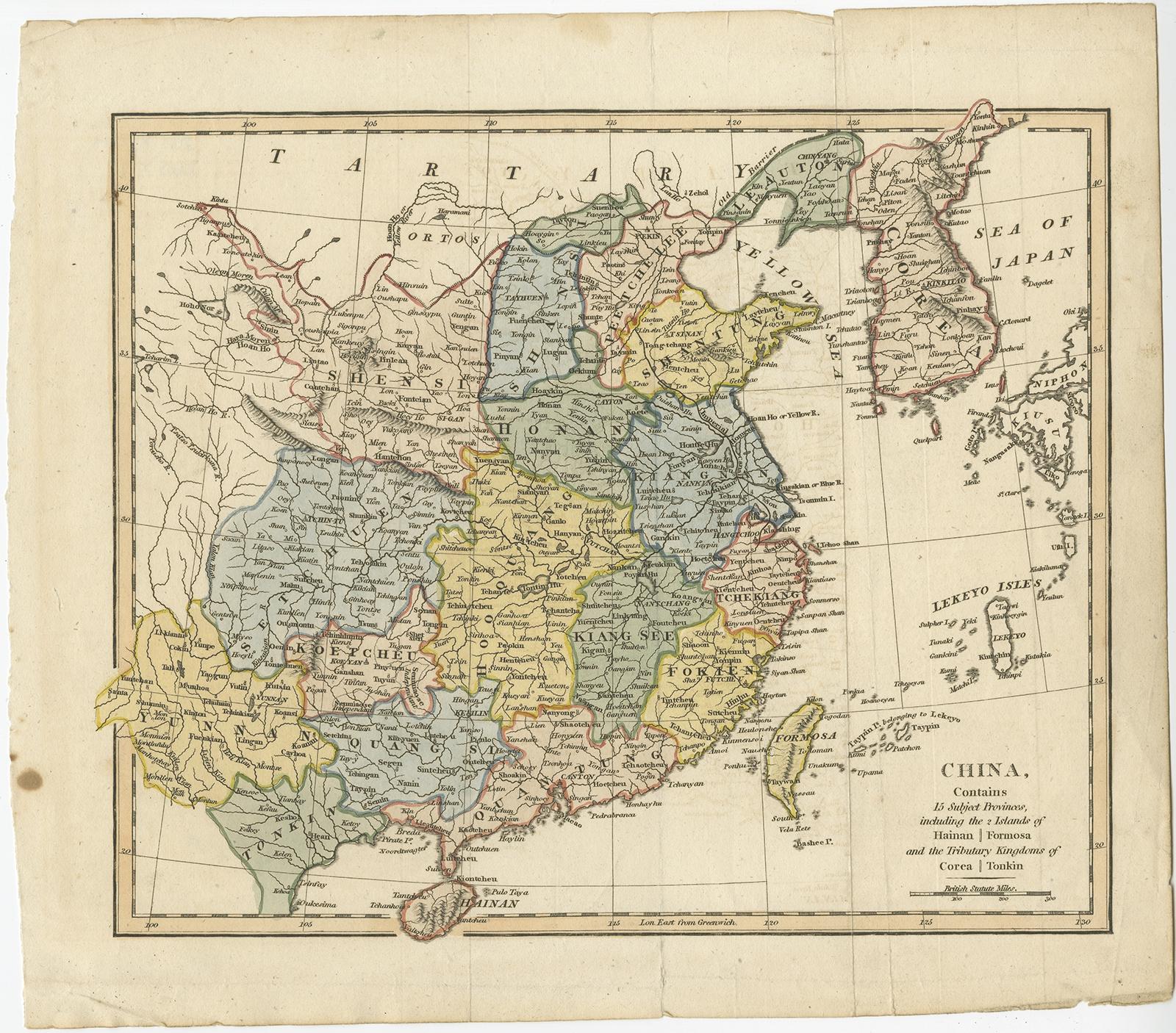
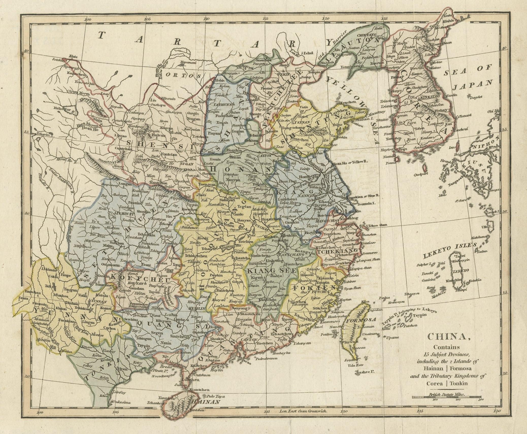
Original Old China Map, From Korea and the Sea of Japan to Teypin Island, 1803
€ 550
Original antique · The actual sheet photographed · Certificate of authenticity on request · Sold unframed · Worldwide shipping from € 15 (rates)
Date
1803
Sheet size
27 × 30.5 cm (10.6 × 12.0 in)
Condition
Good
Reference
BGJC-143
Condition
General age-related toning. Few splits. Please review the images for further condition details.
About this sheet
Antique map titled 'China, Contains 15 Subject Provinces Including the 2 Islands of Hainan, Formosa and the Tributary Kingdoms of Corea, Tonkin'.
Old map depicting China, extending from Korea and the Sea of Japan to Teypin Island in the south. Originates from Wilkinson's 'A General Atlas, being a Collection of Maps of the World and Quarters the Principal Empires, Kingdoms &c. with their several Provinces & other Subdivisions, Correctly Delineated'.
Artists and Engravers: Robert Wilkinson was active in London as a cartographic publisher from 1785 to 1825. He produced a number of nice works, including a General Atlas and a re-issuance of Bowen & Kitchen's English Atlas, along with excellent large format separate maps.