Antique Maps
5,418 original sheets
Europe 3023Asia 1110Africa 236America 548Australia & Oceania 159World Maps 111Sea Charts 209Celestial Maps 22
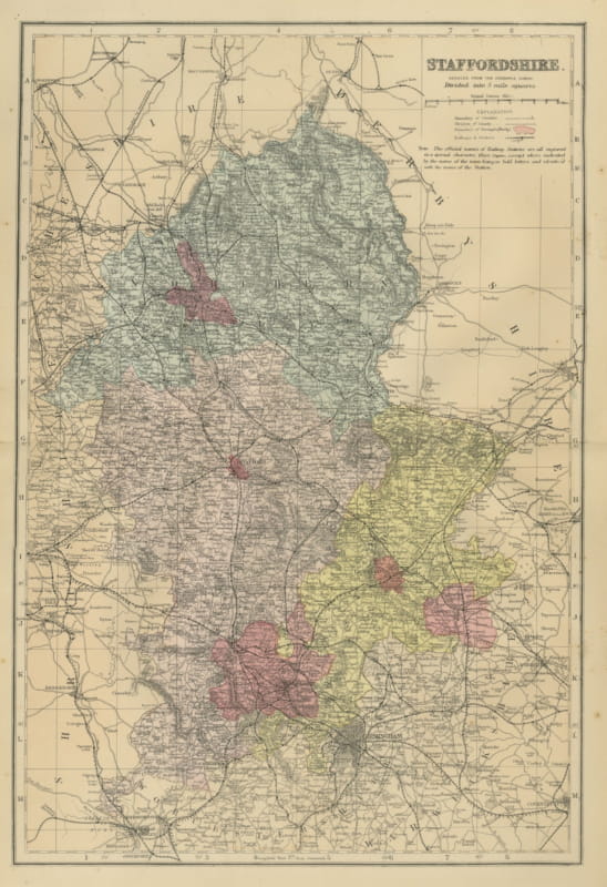
Antique Map of Staffordshire with Stafford, Lichfield and Birmingham, 1885
1885 · € 310
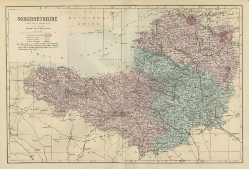
Antique Map of Somersetshire, Bridgwater Bay and the Bristol Channel, 1885
1885 · € 310
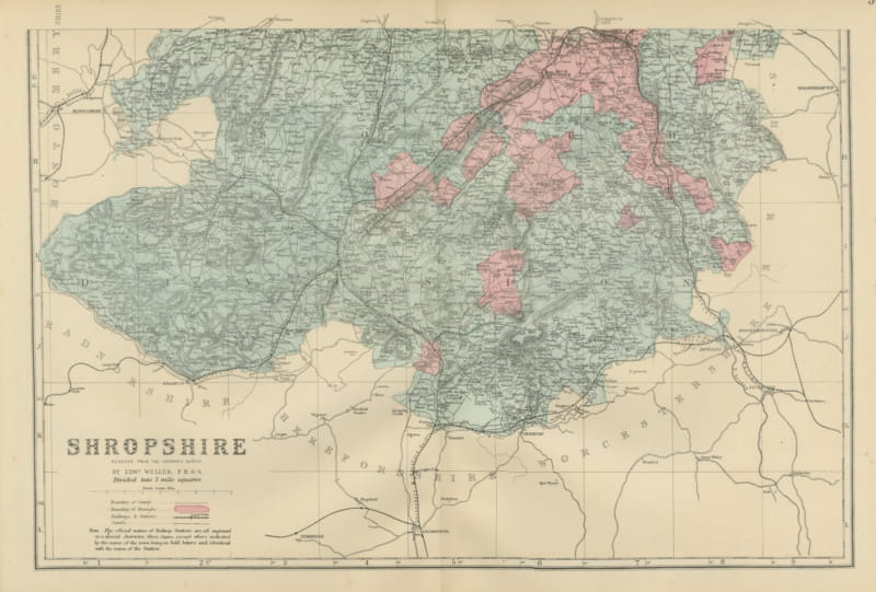
Antique Map of Shropshire on Two Sheets, North and South, 1885
1885 · € 495
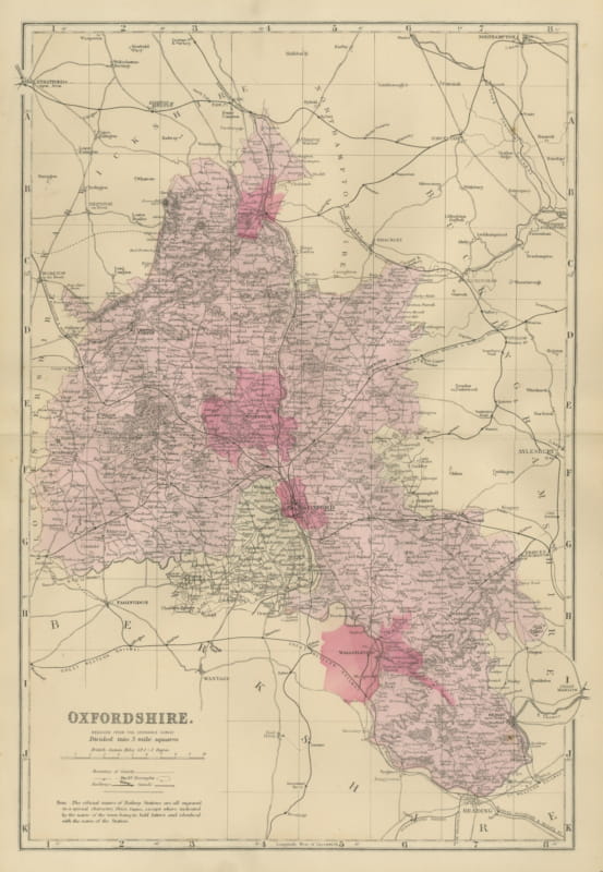
Antique Map of Oxfordshire with Banbury, Abingdon and Wantage, 1885
1885 · € 320
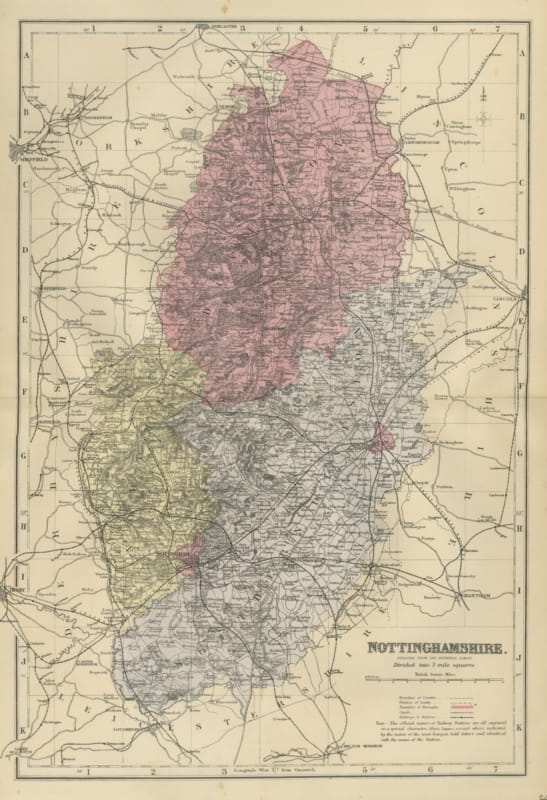
Antique Map of Nottinghamshire with Mansfield, Newark and Worksop, 1885
1885 · € 300
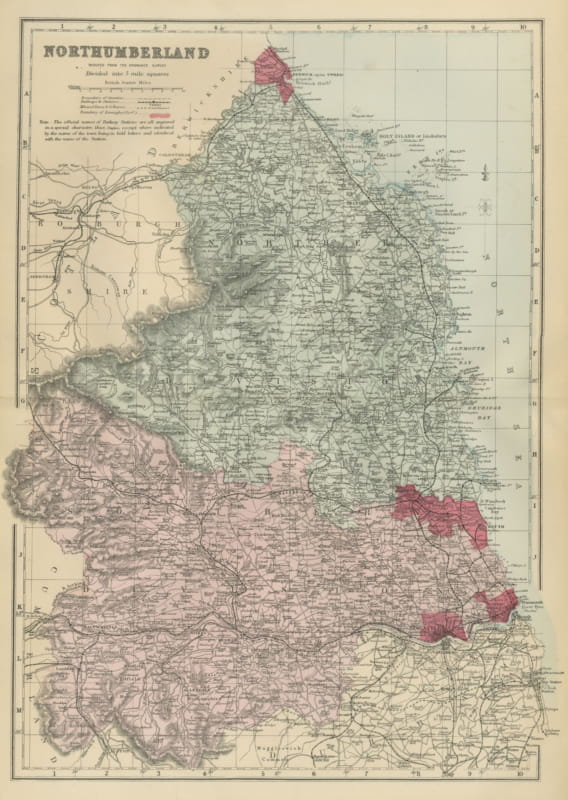
Antique Map of Northumberland with Holy Island and Berwick, 1885
1885 · € 310
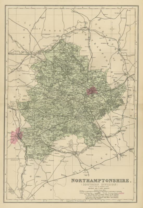
Antique Map of South Northamptonshire and Northampton Town, 1885
1885 · € 290
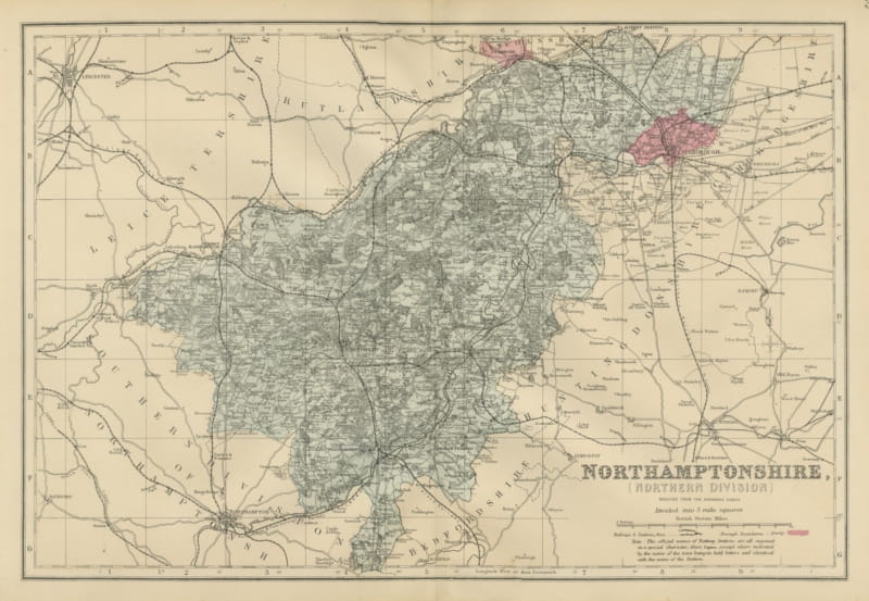
Antique Map of North Northamptonshire with Peterborough, Weller, 1885
1885 · € 290
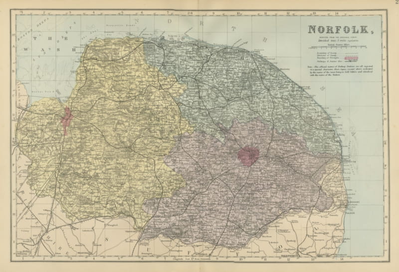
Antique Map of Norfolk with Norwich and the Wash, Edward Weller, 1885
1885 · € 310
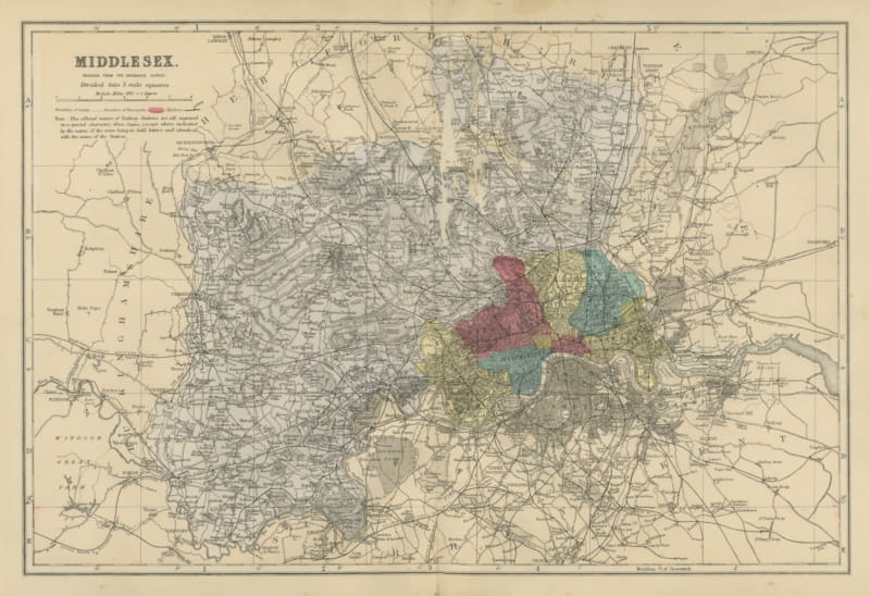
Antique Map of Middlesex and Victorian London with its Railways, 1885
1885 · € 340
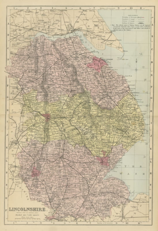
Antique Map of Lincolnshire with Great Grimsby and the Wash, 1885
1885 · € 320
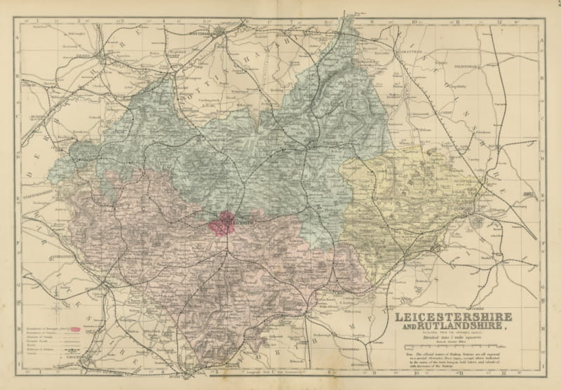
Antique Map of Leicestershire and Rutlandshire with Leicester, 1885
1885 · € 295
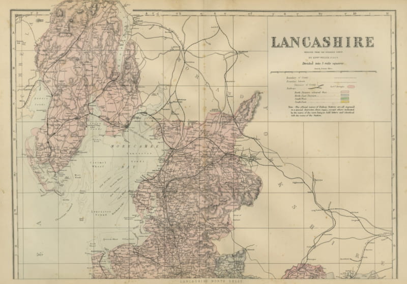
Antique Map of Lancashire on Two Sheets, North and South, 1885
1885 · € 550
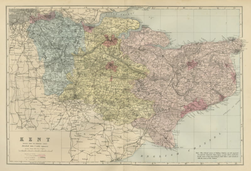
Antique Map of Kent with Maidstone, Rochester and the Channel, 1885
1885 · € 310
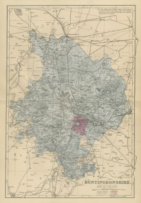
Antique Map of Huntingdonshire with Huntingdon and Peterborough, 1885
1885 · € 285
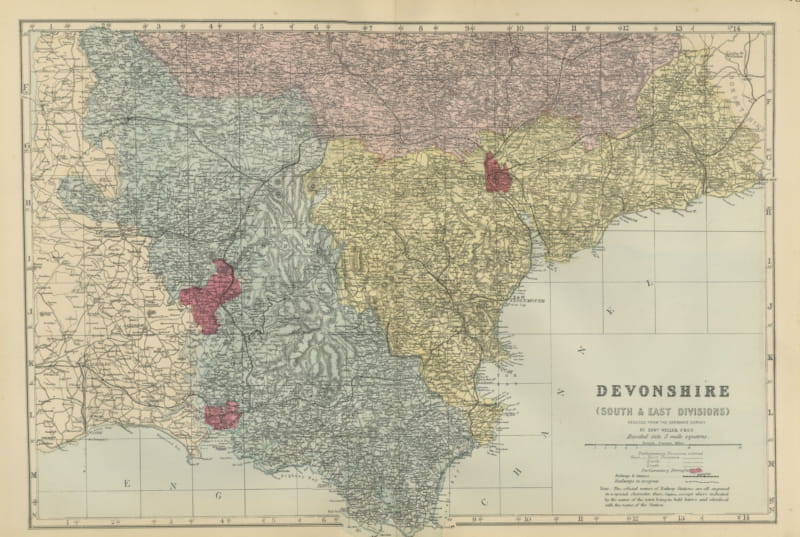
Antique Map of South and East Devon on the English Channel Coast, 1885
1885 · € 310
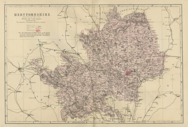
Antique Map of Hertfordshire with Railways and Boroughs, Weller, 1885
1885 · € 320
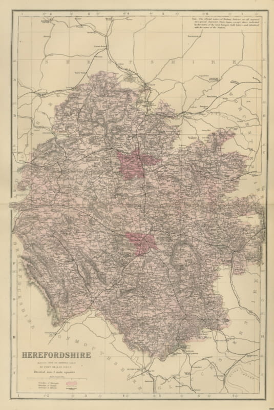
Antique Map of Herefordshire with Hereford and the Welsh Border, 1885
1885 · € 290
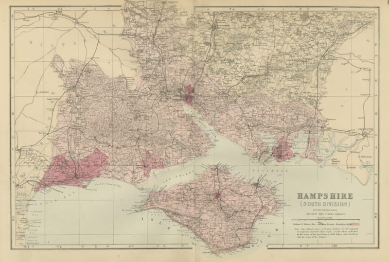
Antique Map of South Hampshire and the Isle of Wight, Weller, 1885
1885 · € 340
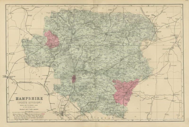
Antique Map of North Hampshire in Five Mile Squares, Edward Weller, 1885
1885 · € 290
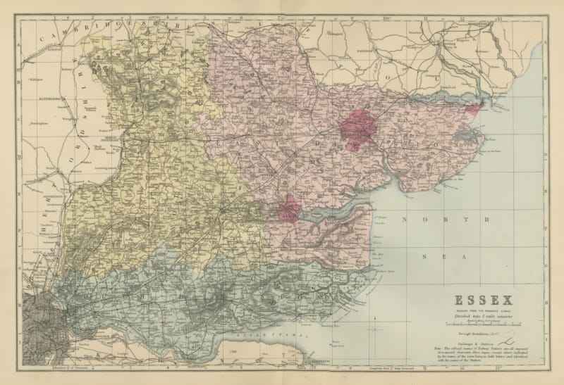
Antique Map of Essex with the Thames Estuary and the North Sea, 1885
1885 · € 310
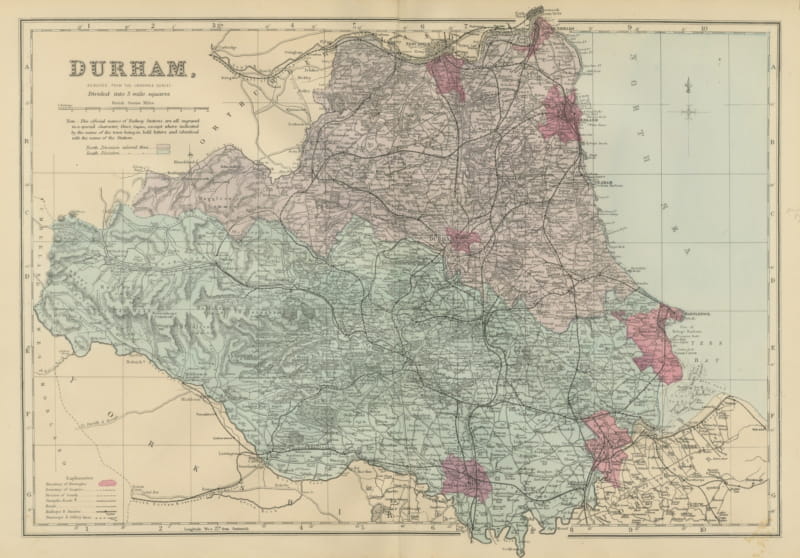
Antique Map of Durham with Sunderland, Hartlepool and the North Sea, 1885
1885 · € 295
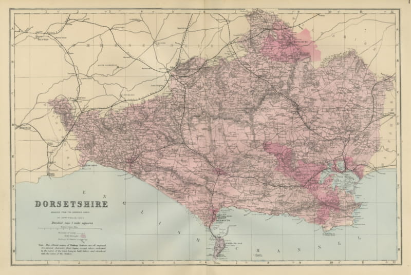
Decorative Antique Map of Dorsetshire and the English Channel Coast, 1885
1885 · € 295
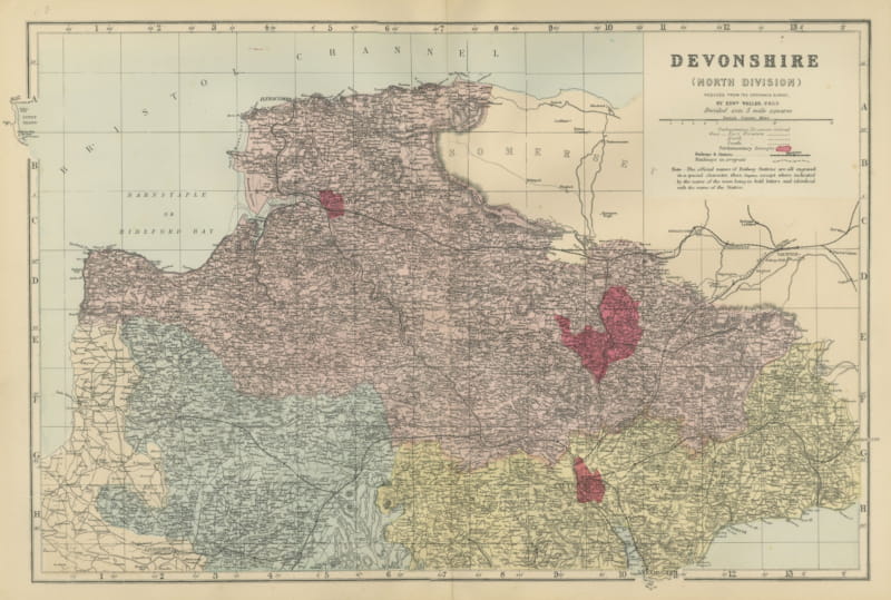
Antique Map of North Devon, Barnstaple Bay and Bristol Channel, 1885
1885 · € 310
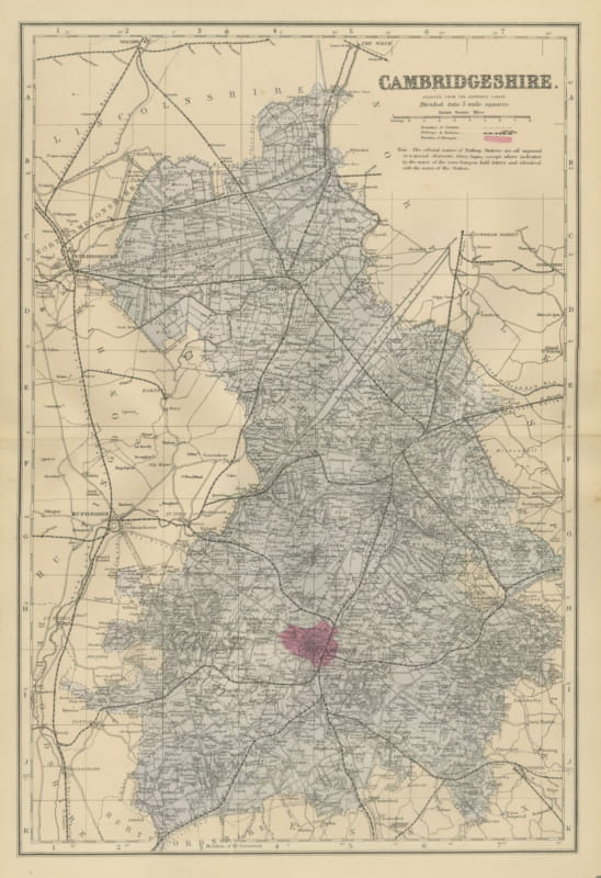
Antique Map of Cambridgeshire with Peterborough and Huntingdon, 1885
1885 · € 320
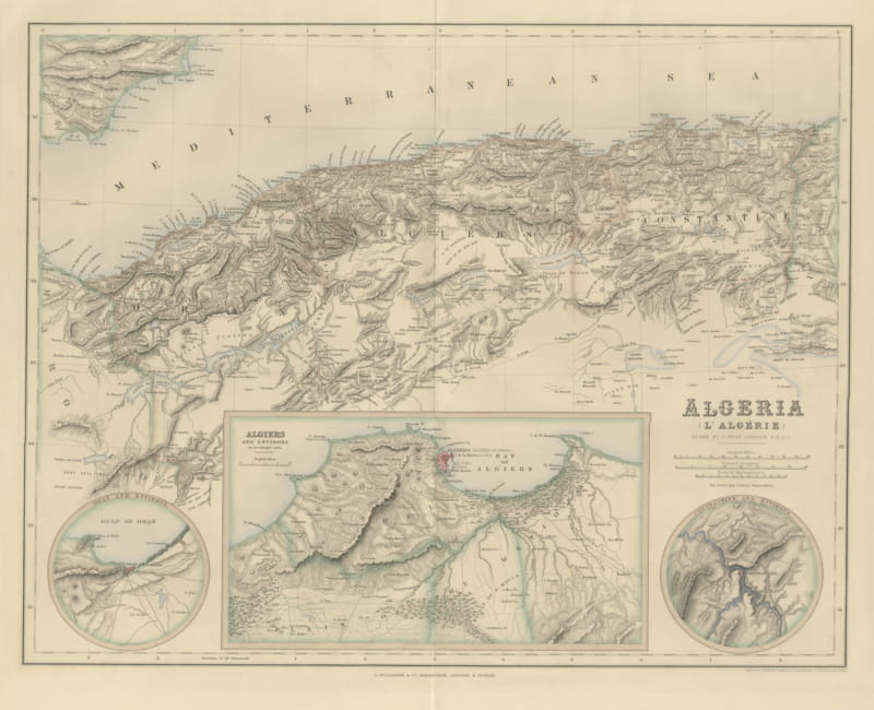
Antique Map of Algeria with Algiers, Oran and Constantine Insets, circa 1860
circa 1860 · € 425
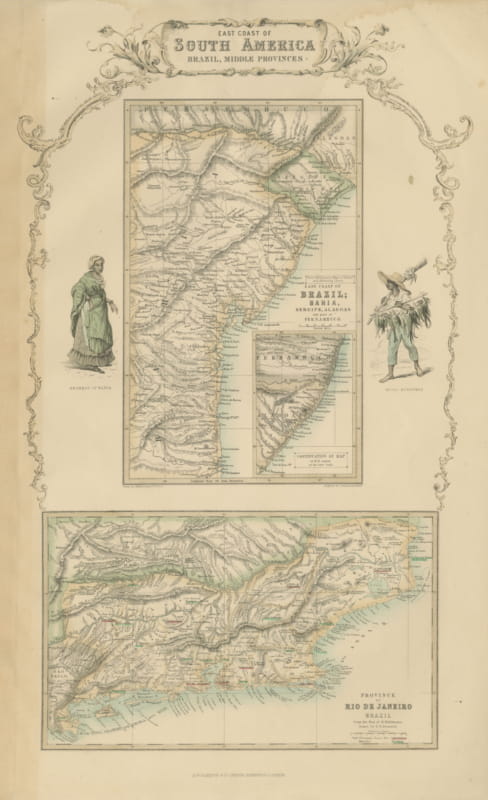
Antique Map of the Brazilian Coast with Rio de Janeiro Province, circa 1860
circa 1860 · € 290
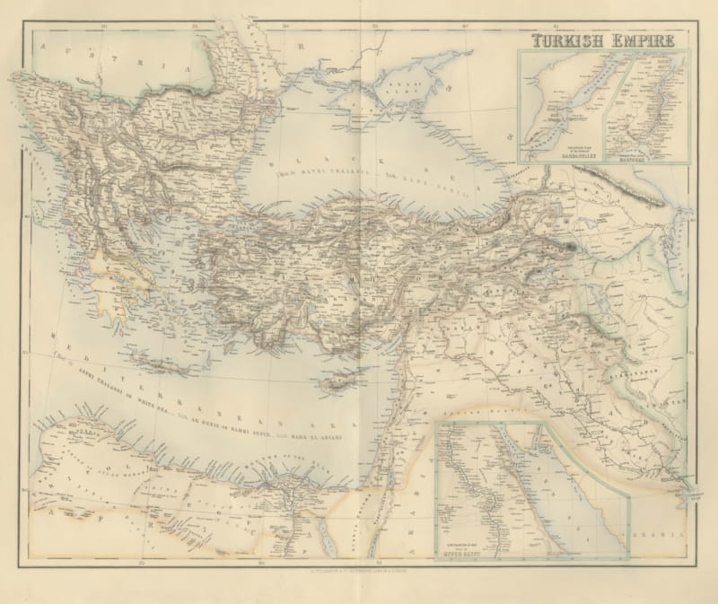
Antique Map of the Turkish Empire with the Dardanelles and Bosporus, circa 1860
circa 1860 · € 545
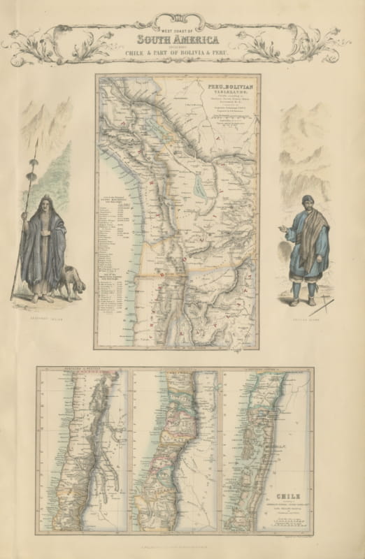
Antique Map of the West Coast of South America with Costume Figures, circa 1860
circa 1860 · € 545
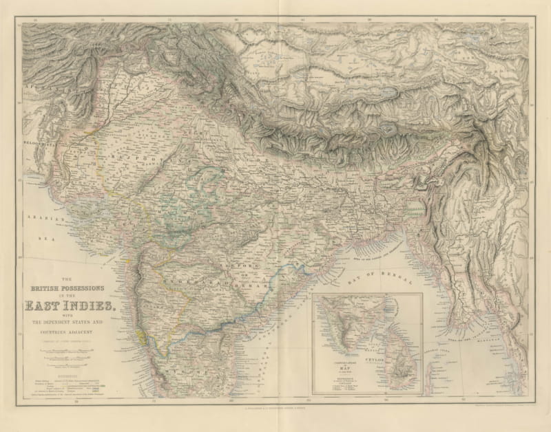
Antique Map of British India with Ceylon Continuation Inset, circa 1860
circa 1860 · € 465
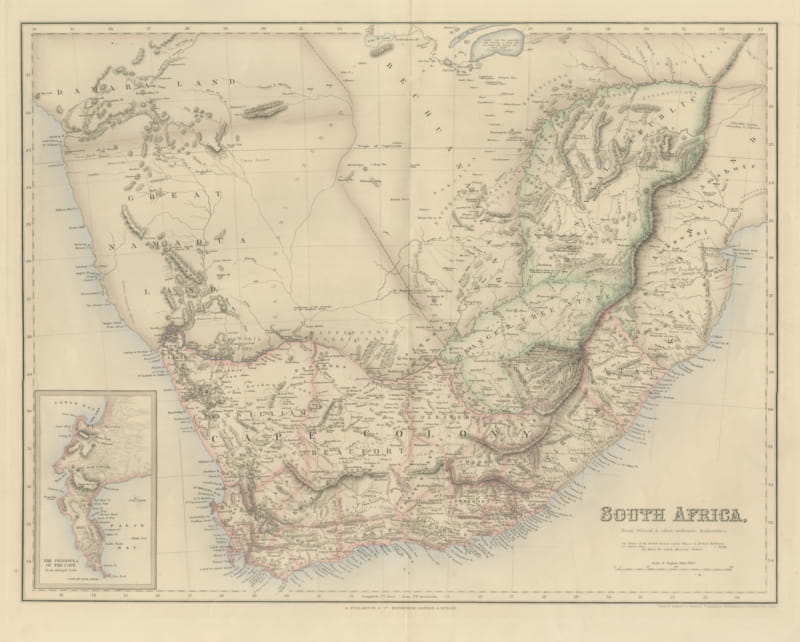
Antique Map of South Africa with the Peninsula of the Cape Inset, circa 1860
circa 1860 · € 485
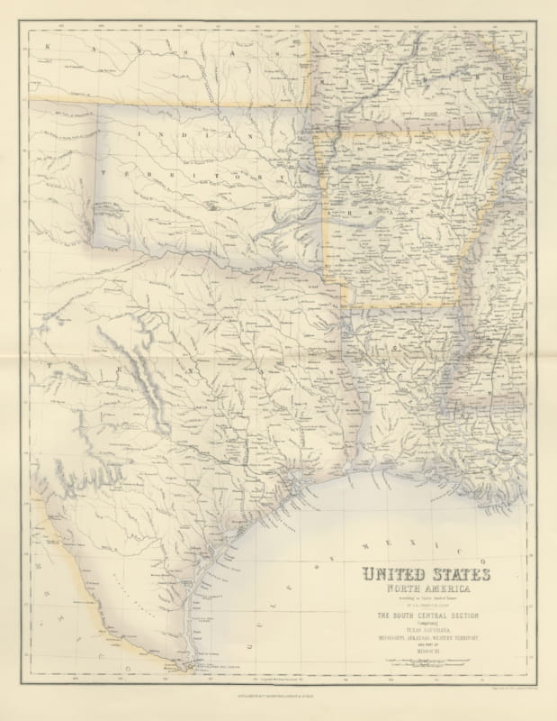
Antique Map of Texas and Louisiana with Indian Territory, circa 1860
circa 1860 · € 625
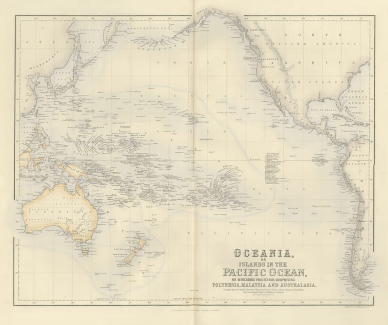
Antique Map of Oceania and the Pacific with the Sandwich Islands, circa 1860
circa 1860 · € 495
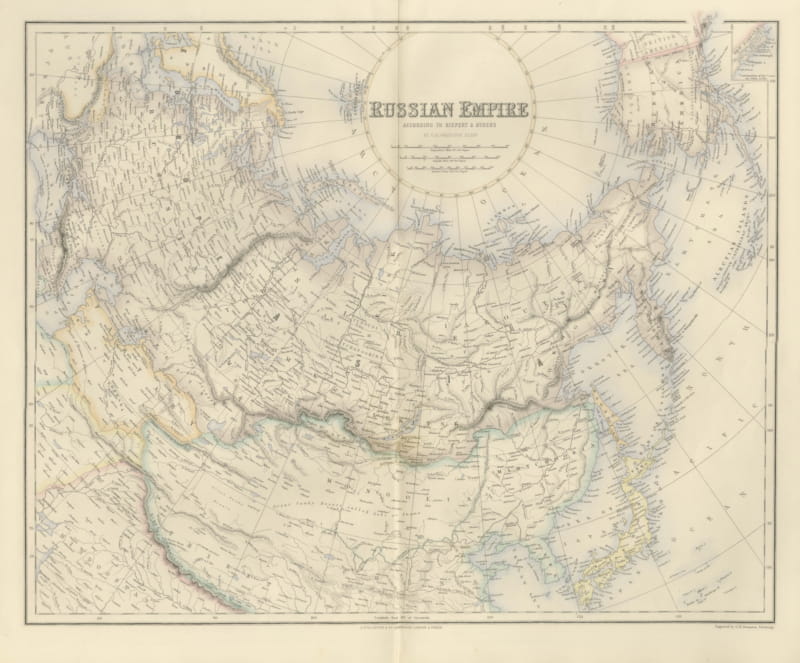
Antique Map of the Russian Empire with Russian America, circa 1860
circa 1860 · € 475
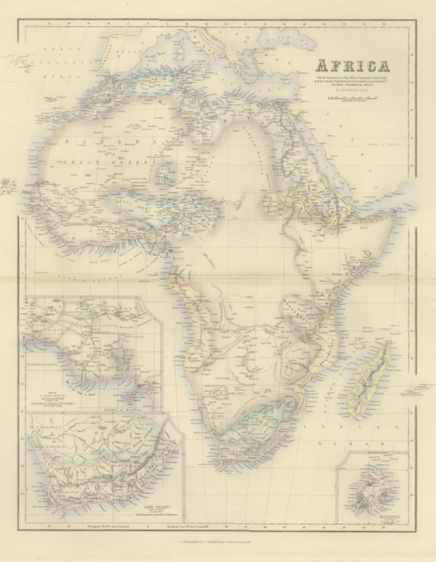
Antique Map of Africa with Cape Colony and Mauritius Insets, circa 1860
circa 1860 · € 525
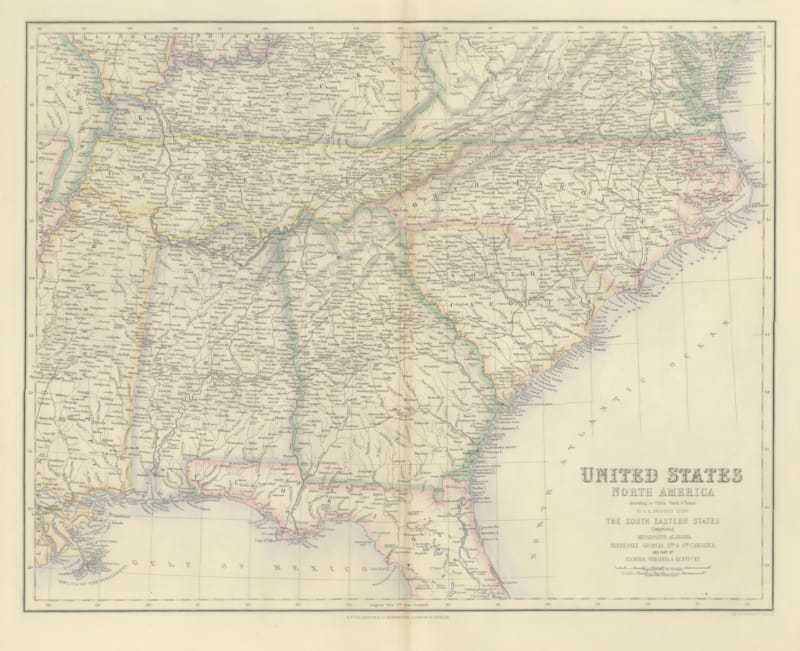
Antique Map of the South Eastern United States with Cape Hatteras, circa 1860
circa 1860 · € 465
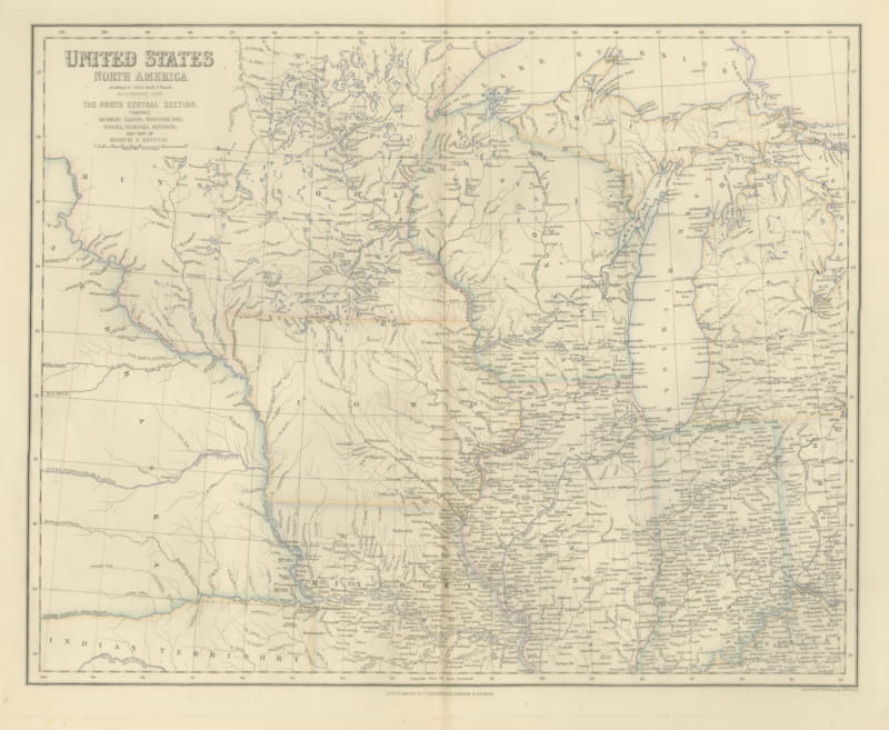
Antique Map of the North Central United States and Lake Michigan, circa 1860
circa 1860 · € 465
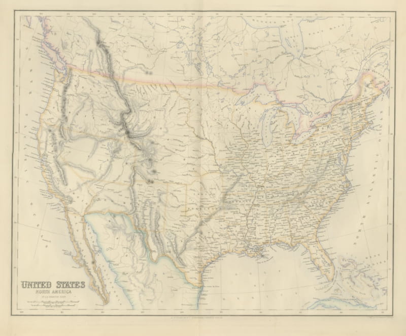
Antique Map of the United States with Oregon Territory, circa 1860
circa 1860 · € 485
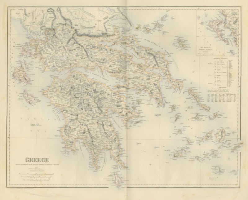
Antique Map of Greece with the Northern Ionian Islands Inset, circa 1860
circa 1860 · € 435
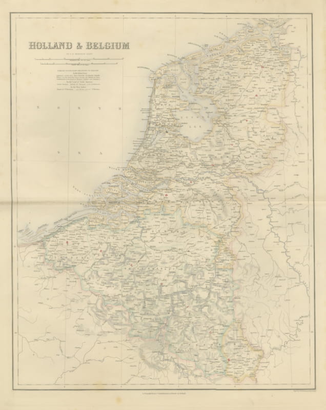
Antique Map of Holland and Belgium with Foreign Possessions Table, circa 1860
circa 1860 · € 370
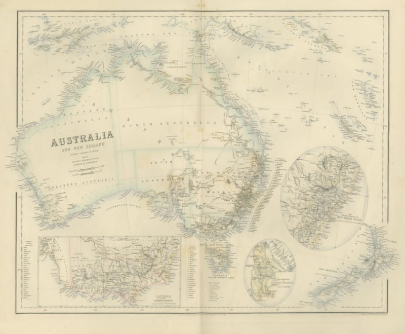
Antique Map of Australia and New Zealand with Mount Alexander Inset, circa 1860
circa 1860 · € 525
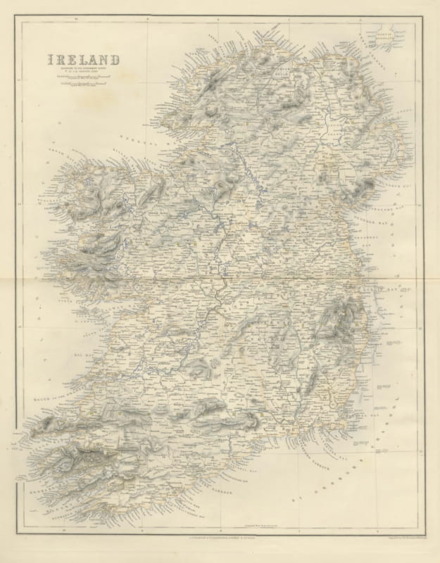
Antique Map of Ireland According to the Government Survey, circa 1860
circa 1860 · € 465
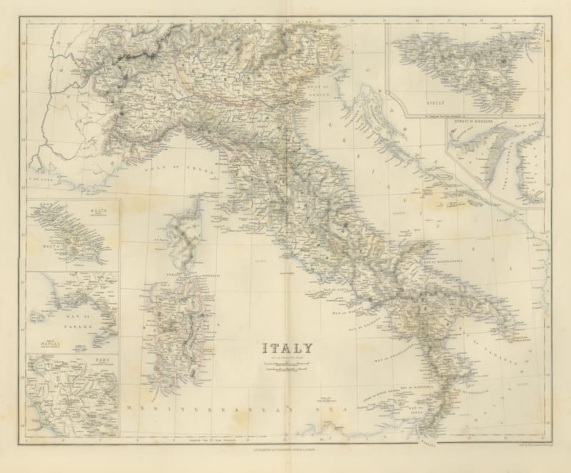
Antique Map of Italy with Sicily, Malta and Bay of Naples Insets, circa 1860
circa 1860 · € 495
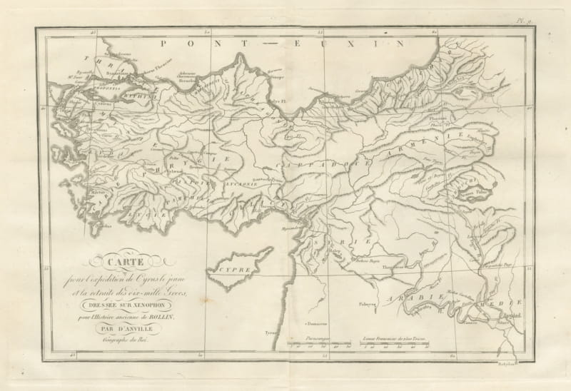
March of Cyrus and Retreat of the Ten Thousand after Xenophon, 1818
1818 · € 245
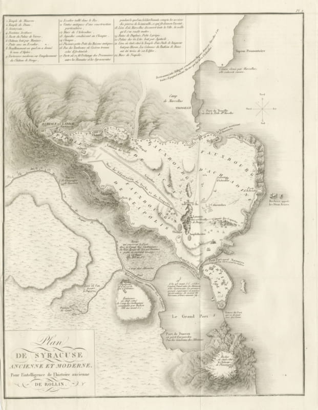
Plan of Ancient and Modern Syracuse with Numbered Key, Rollin Atlas, 1818
1818 · € 295
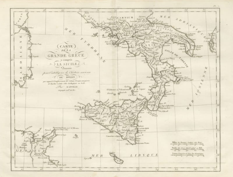
Magna Graecia and Sicily, Greek Colonies Map after d'Anville, 1818
1818 · € 255
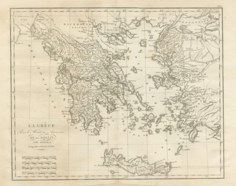
Ancient Greece and the Aegean with Crete, d'Anville for Rollin, 1818
1818 · € 255
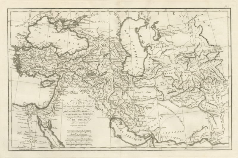
Assyria, Media, Babylonia and Persia, d'Anville Rollin Atlas Map, 1818
1818 · € 345