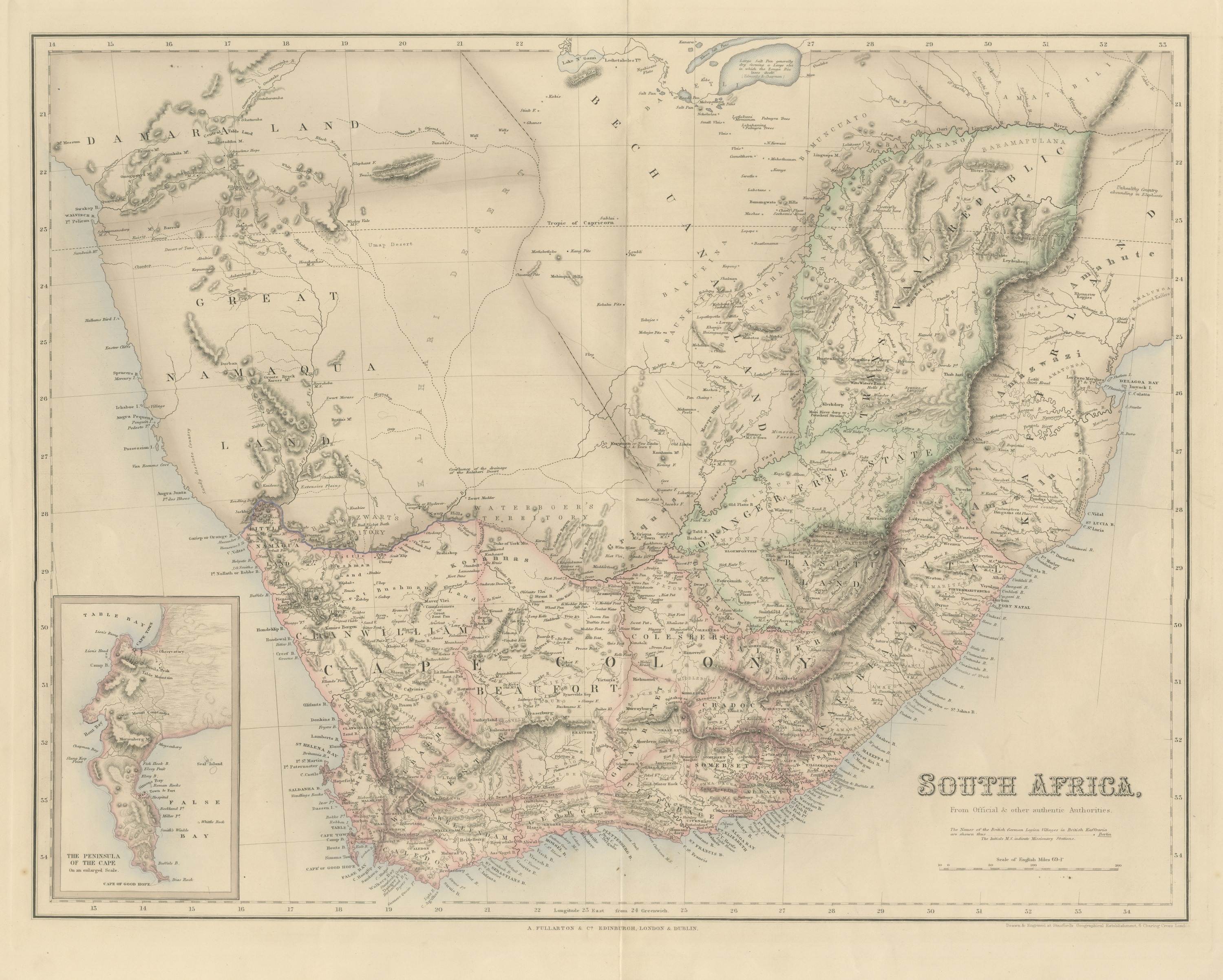
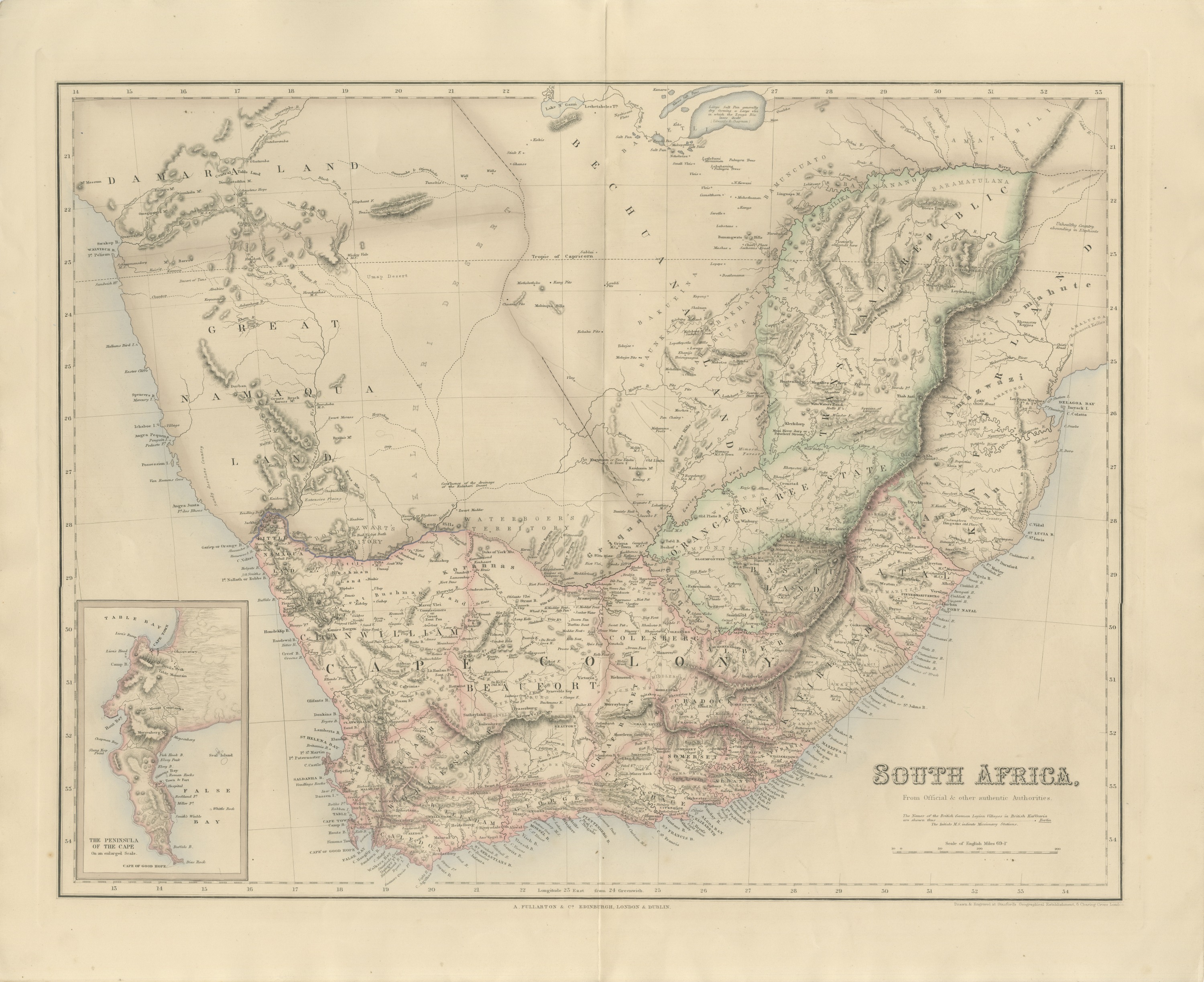
Antique Map of South Africa with the Peninsula of the Cape Inset, circa 1860
€ 485
Original antique · The actual sheet photographed · Certificate of authenticity on request · Sold unframed · Worldwide shipping from € 15 (rates)
Date
circa 1860
Mapmaker / artist
Drawn and engraved at Stanford's Geographical Establishment, London
Publisher
A. Fullarton and Co.
Technique
Engraving
Coloring
Hand colored
Condition
Good
Reference
BG-14396-13
What the condition grades mean
Excellent
Bright and clean, with no faults worth mentioning.
Very good
Only light signs of age, such as faint toning.
Good
Normal signs of age for a sheet of this period: toning, some foxing, small marks or neat old repairs.
Fair
Clear faults such as staining, tears or repairs, priced to match.
Every fault we see is written in the condition note, and the whole sheet is shown uncropped in the photos.
Condition
Even age toning. A few small foxing spots in the margin. Complete sheet, all four corners present. Original center fold as issued.
About this sheet
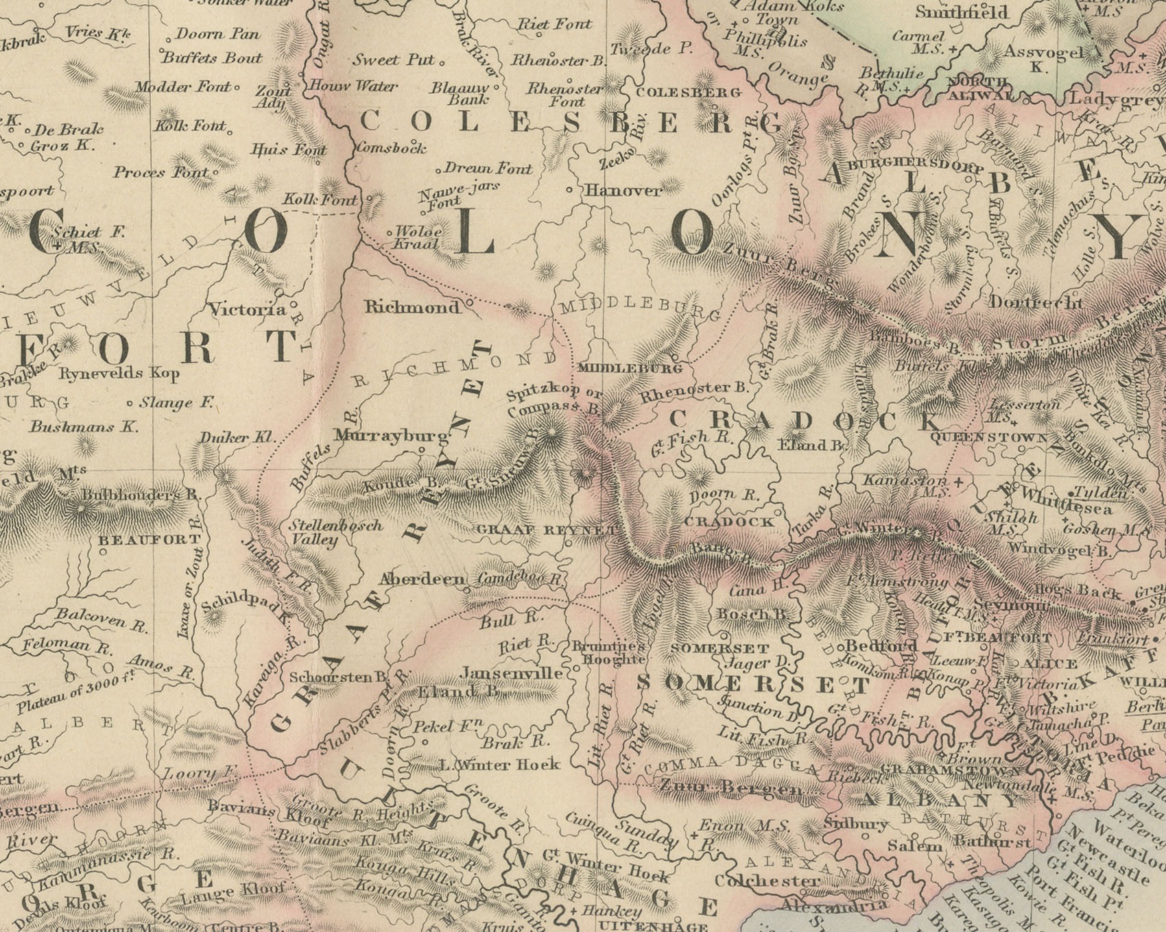
This is an original antique engraved map, colored by hand, from Fullarton's Companion Atlas to the Gazetteer of the World. The title in the lower right reads "SOUTH AFRICA," with the line "From Official & other authentic Authorities." beneath it. The map covers southern Africa from Damaraland, Great Namaqualand and Lake Ngami in the north down to the Cape of Good Hope, and east across the Orange Free State and the Transvaal Republic to Natal and Delagoa Bay. Cape Colony, Natal and the inland states are set off in outline color.
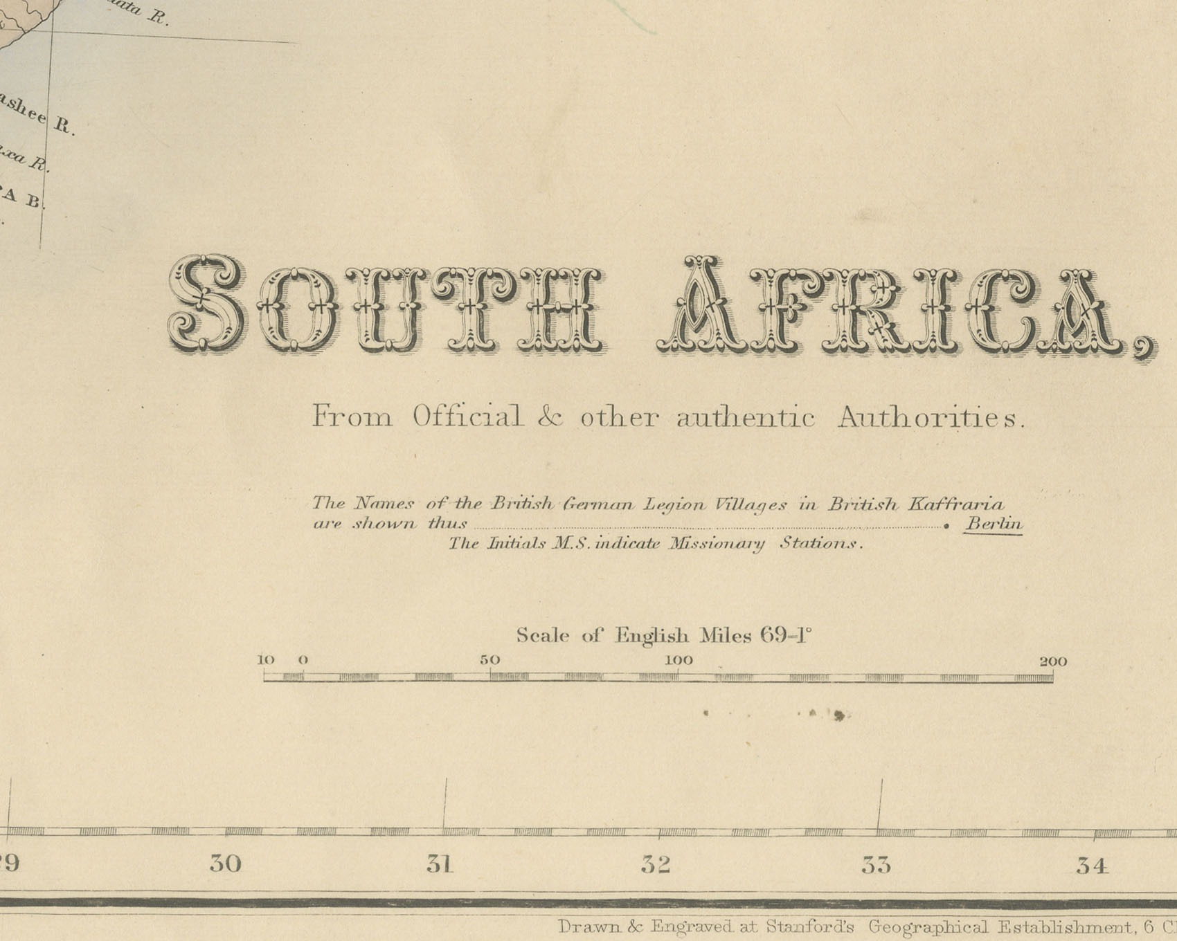
A rectangular inset in the lower left is titled "THE PENINSULA OF THE CAPE On an enlarged Scale." and shows Table Bay, Cape Town, Table Mountain, Simons Bay and False Bay. On the main map the eastern frontier is lettered "B. KAFFRARIA", with Basuto Land and Natal to the north of it. A key below the title reads "The Names of the British German Legion Villages in British Kaffraria are shown thus" with "Berlin" underlined as the example, followed by "The Initials M.S. indicate Missionary Stations." Berlin, Hamburg and Frankfort are underlined on the map accordingly. Beyond the Transvaal a note reads "Unhealthy Country abounding in Elephants", and the bar scale is captioned "Scale of English Miles 69-1°".
The title names no compiler. The line below the lower right corner of the border reads "Drawn & Engraved at Stanford's Geographical Establishment, 6 Charing Cross London." The imprint below the center of the border reads "A. FULLARTON & Co. EDINBURGH, LONDON & DUBLIN."
The Companion Atlas to the Gazetteer of the World was published by A. Fullarton and Co. of London, Edinburgh and Dublin and issued to subscribers in parts. The original printed wrapper of Part 7 survives with these maps; it bills forty-three maps, names G. H. Swanston as engraver, and is marked "Colored Copy". This sheet itself credits Stanford's establishment, not Swanston. The British German Legion named in the key had been raised for the Crimean War, and many of its men were settled in British Kaffraria after the war ended.
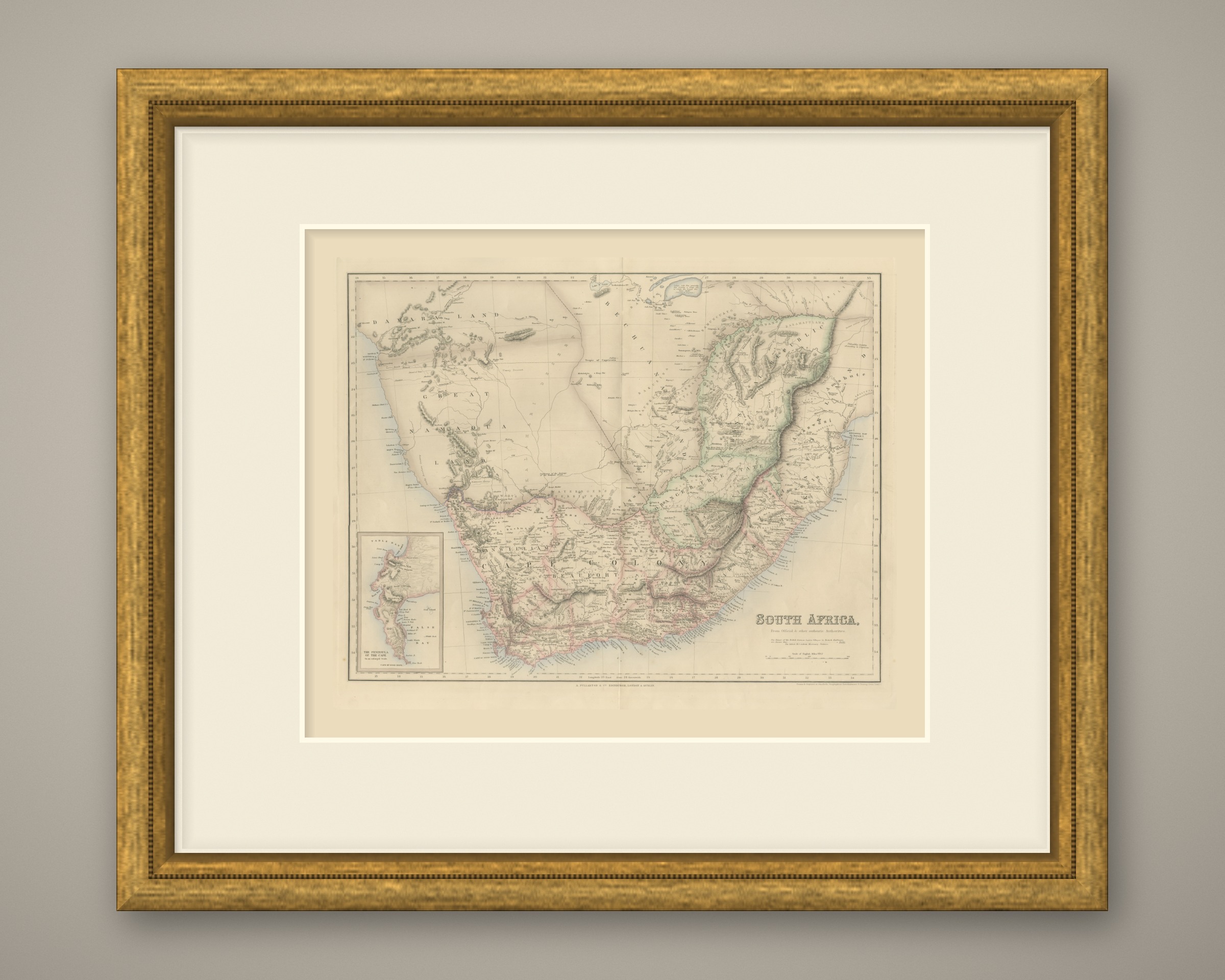
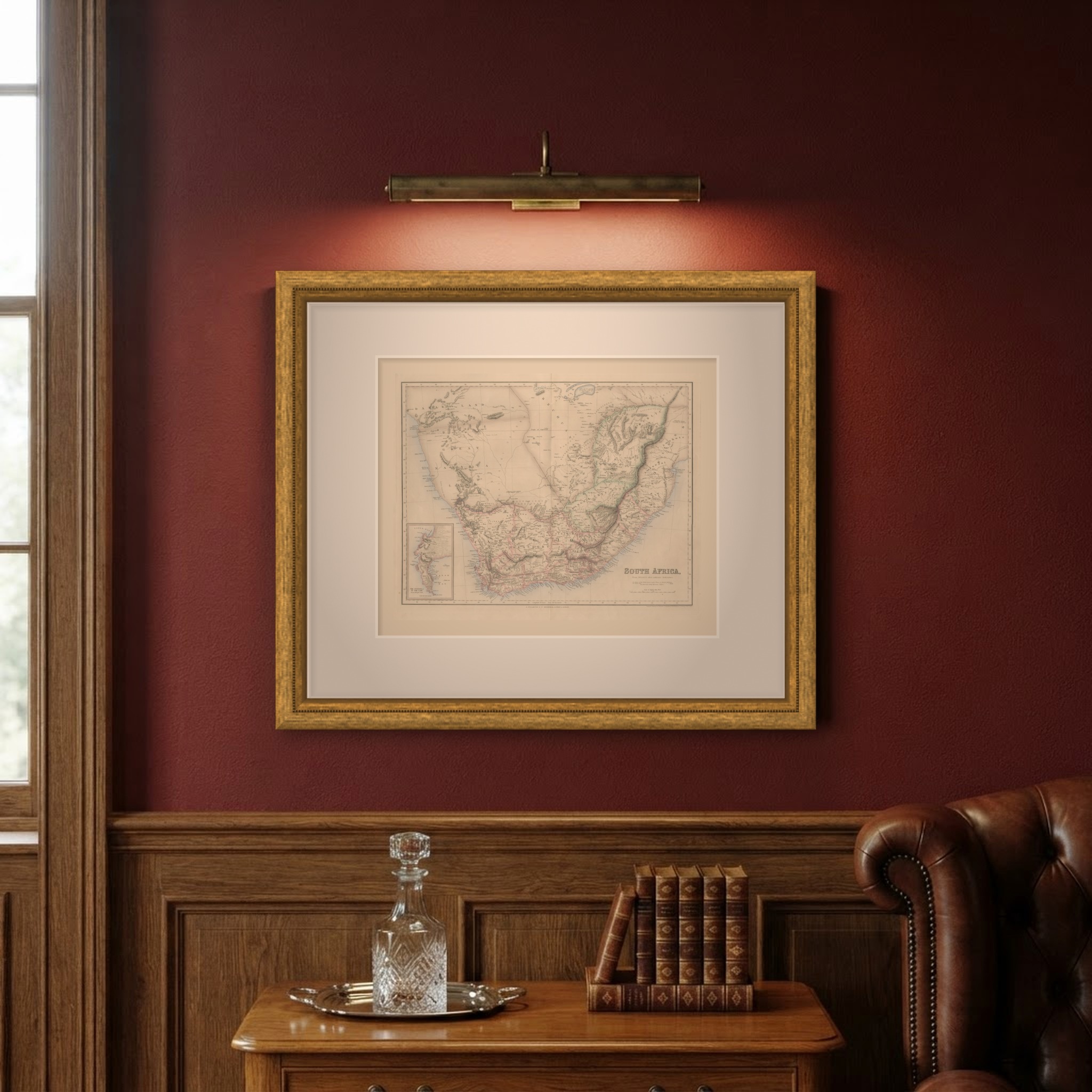
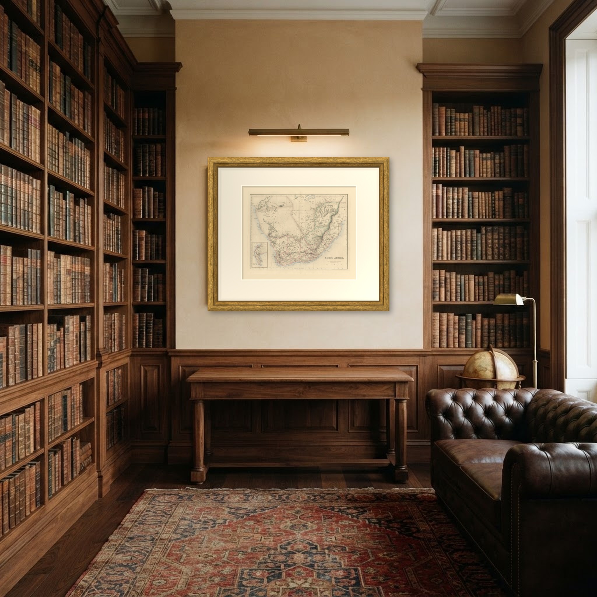
This is an original antique map, not a modern reproduction. This item is sold unframed. Any framed or interior images are shown for presentation and inspiration only, unless the listing explicitly states that the item is sold framed.