About this sheet
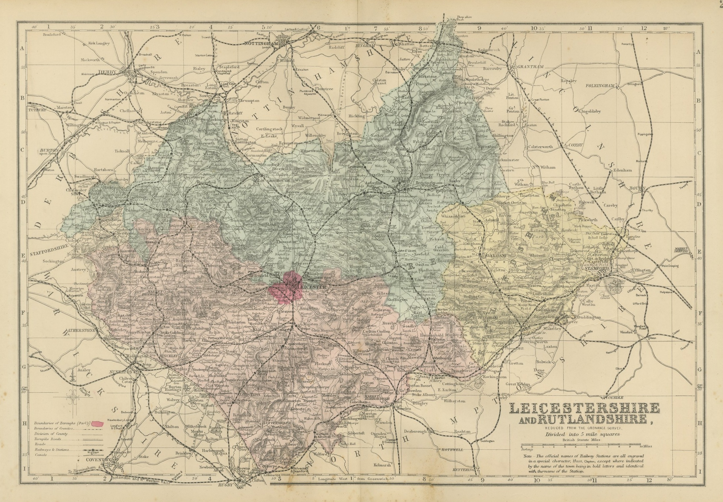
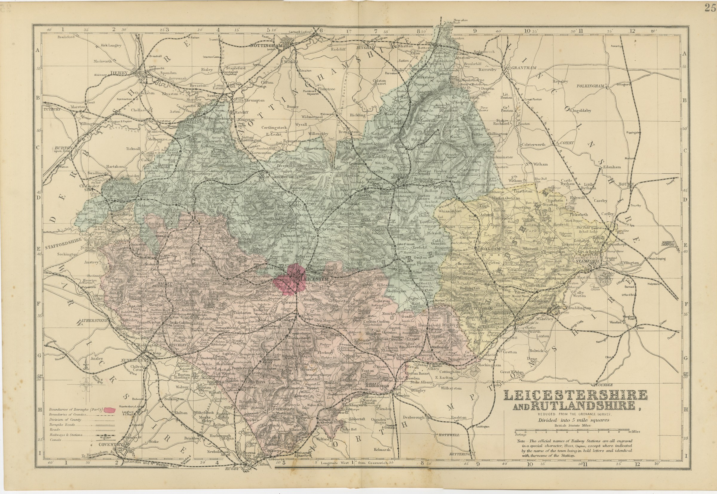
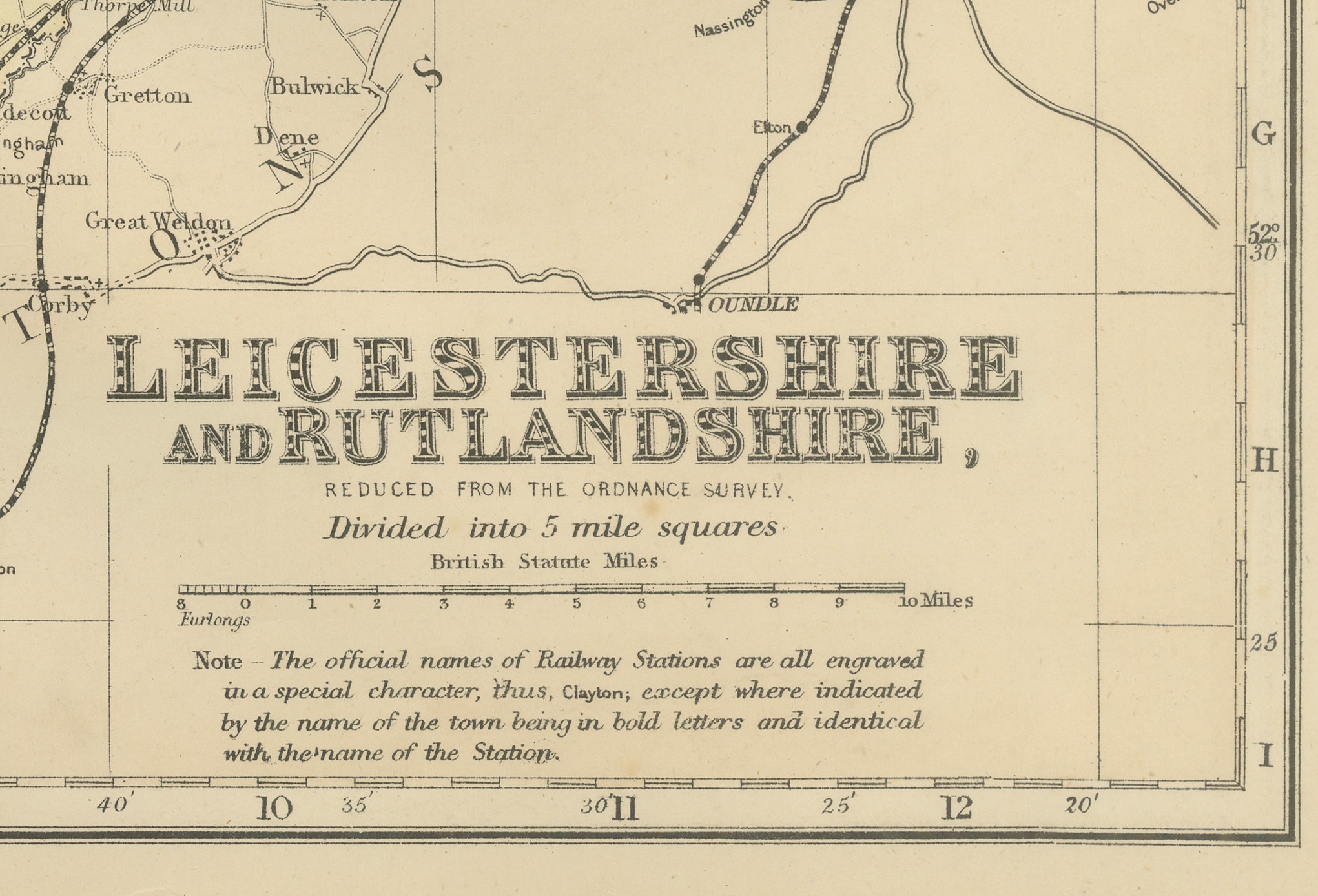
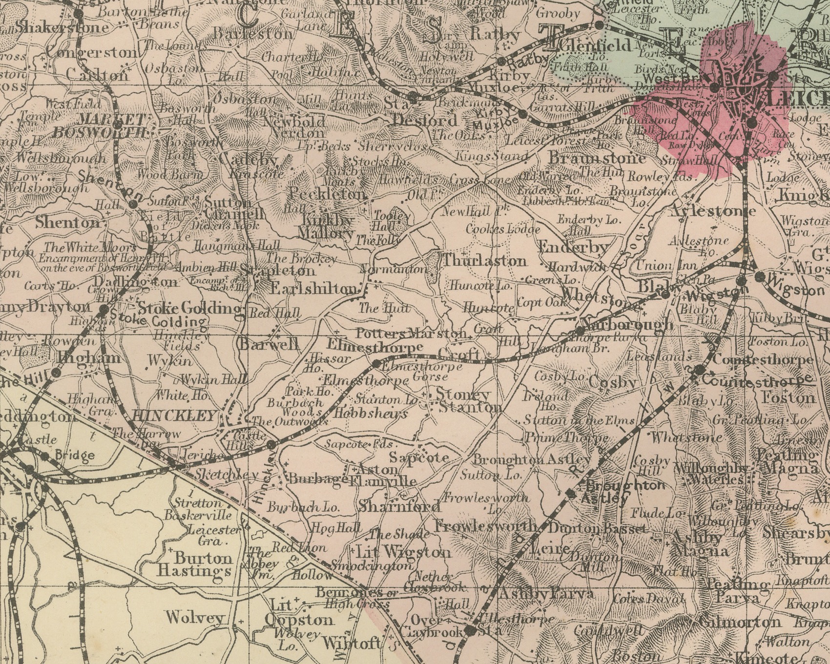
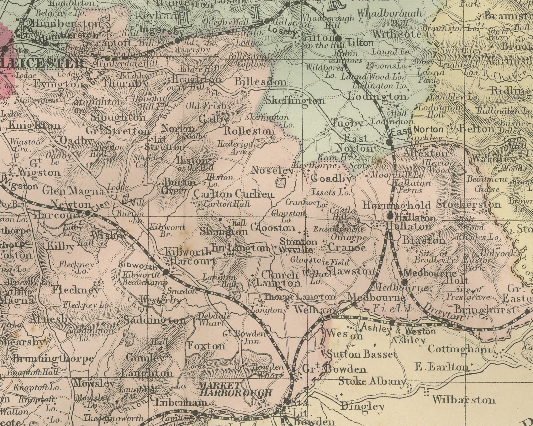
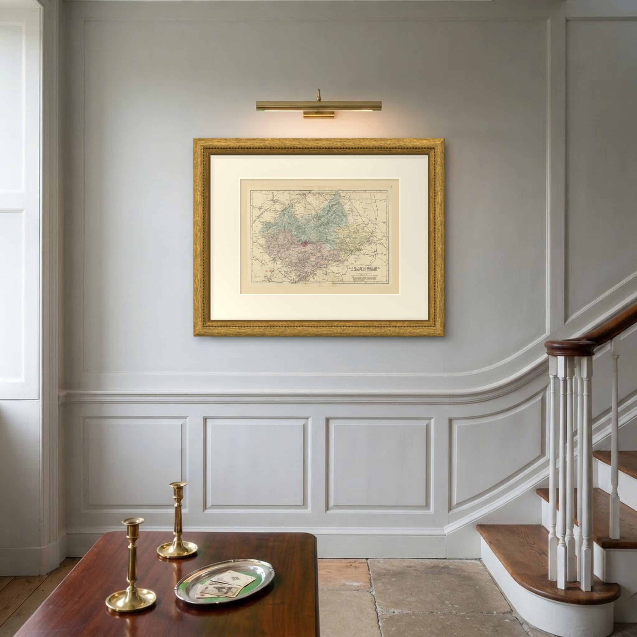
An original antique map of Leicestershire and Rutland, printed by lithography with original hand coloring, from the 1885 edition of The New Large Scale Ordnance Atlas of the British Isles. The title at the lower right reads "LEICESTERSHIRE" and "AND RUTLANDSHIRE,", with "REDUCED FROM THE ORDNANCE SURVEY." and "Divided into 5 mile squares" beneath it. There is no credit line for Weller on this sheet.
Leicester lies near the center of the sheet, with Loughborough and Mount Sorrel to the north, Melton Mowbray to the northeast, Market Harborough and Lutterworth to the south and Hinckley, Market Bosworth and Ashby de la Zouch to the west. Rutland, with Oakham and Uppingham, sits to the east, and Stamford stands just beyond it. Around the two counties are Nottinghamshire with Nottingham, Derbyshire with Derby, Warwickshire with Coventry, Nuneaton and Rugby, Northamptonshire with Kettering, and Lincolnshire with Grantham.
Leicestershire is washed in green for the northern division and rose for the southern, Rutland in yellow, and the borough of Leicester is picked out in crimson. An explanation at the lower left gives borough and county boundaries, the division of the county, turnpike roads, roads, railways and stations and canals, and the title panel carries the atlas note on station names: "The official names of Railway Stations are all engraved in a special character, thus, Clayton; except where indicated by the name of the town being in bold letters and identical with the name of the Station." The sheet is divided into five mile squares with letters and figures in the border, and a scale of British Statute Miles sits below the title. The sheet number 25 is printed at the upper right.
The sheet comes from The New Large Scale Ordnance Atlas of the British Isles, the atlas of county and town maps reduced from the Ordnance Survey by Edward Weller, F.R.G.S., and published in London by G. W. Bacon and Co. The date 1885 comes from the volume the sheets were taken from; the year is not printed on the sheet, and Bacon's name does not appear on it. Edward Weller (1819 to 1884) was a London map engraver and draftsman and a Fellow of the Royal Geographical Society.
Vertical fold down the center from binding. Light uneven toning, browner towards the edges. Handling soiling along the bottom, left and top edges. Scattered light foxing in the margin. Slight wear at the bottom left corner.
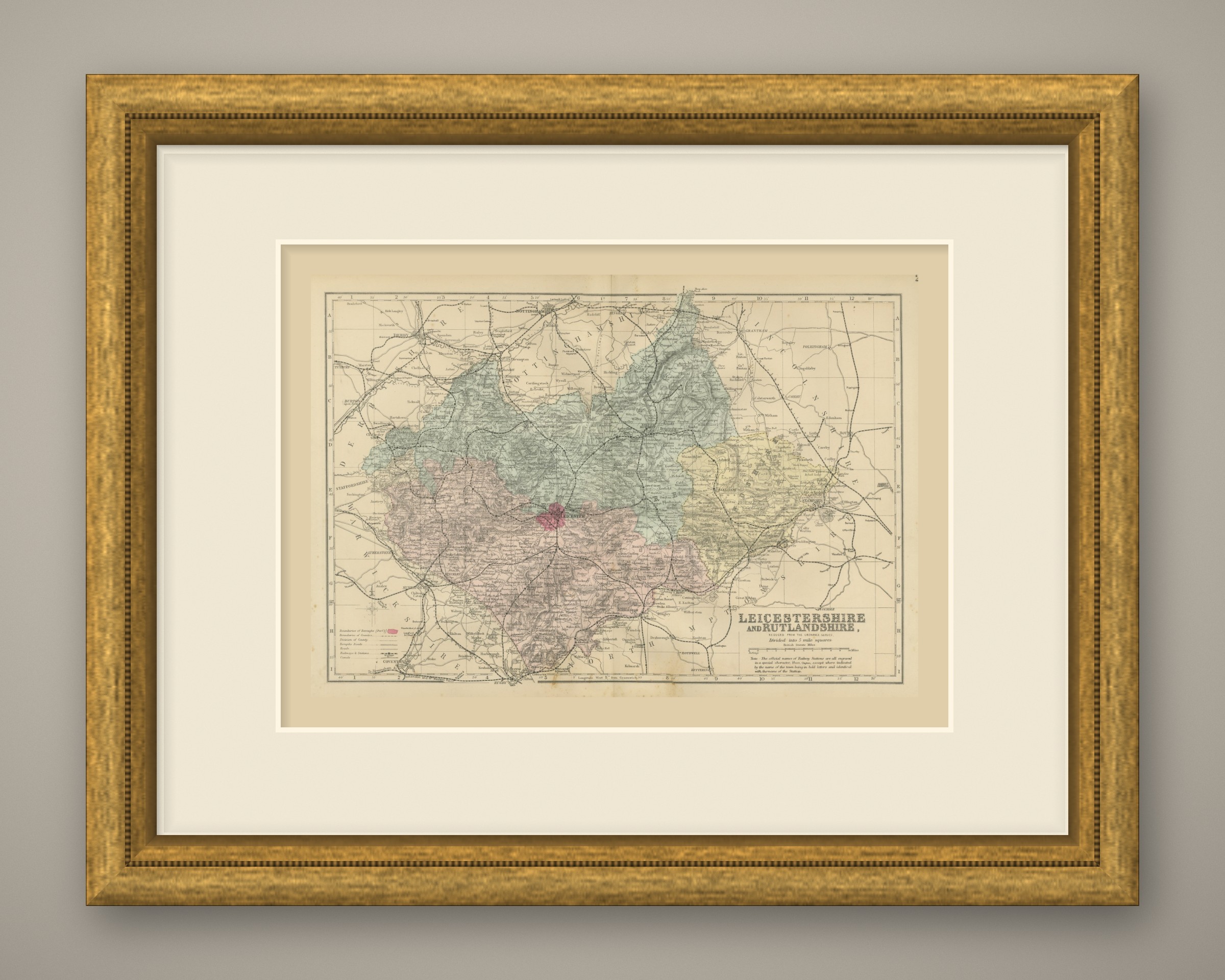
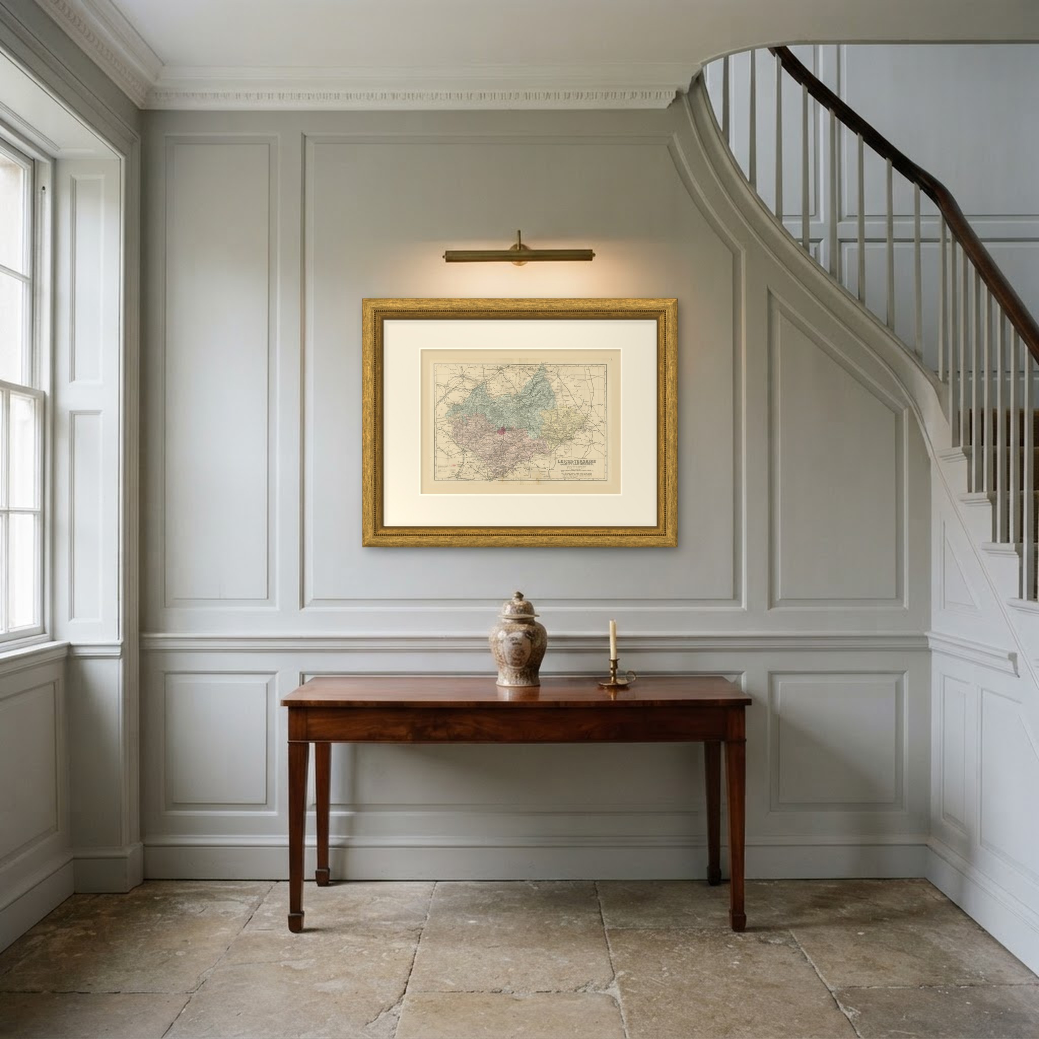
This is an original antique map, not a modern reproduction. This item is sold unframed. Any framed or interior images are shown for presentation and inspiration only, unless the listing explicitly states that the item is sold framed.