Antique Map of Ireland According to the Government Survey, circa 1860
€ 465
Original antique · The actual sheet photographed · Certificate of authenticity on request · Sold unframed · Worldwide shipping from € 15 (rates)
Date
circa 1860
Mapmaker / artist
Engraved by G. H. Swanston
Publisher
A. Fullarton and Co.
Technique
Engraving
Coloring
Hand colored
Condition
Good
Reference
BG-14396-2
What the condition grades mean
Excellent
Bright and clean, with no faults worth mentioning.
Very good
Only light signs of age, such as faint toning.
Good
Normal signs of age for a sheet of this period: toning, some foxing, small marks or neat old repairs.
Fair
Clear faults such as staining, tears or repairs, priced to match.
Every fault we see is written in the condition note, and the whole sheet is shown uncropped in the photos.
Condition
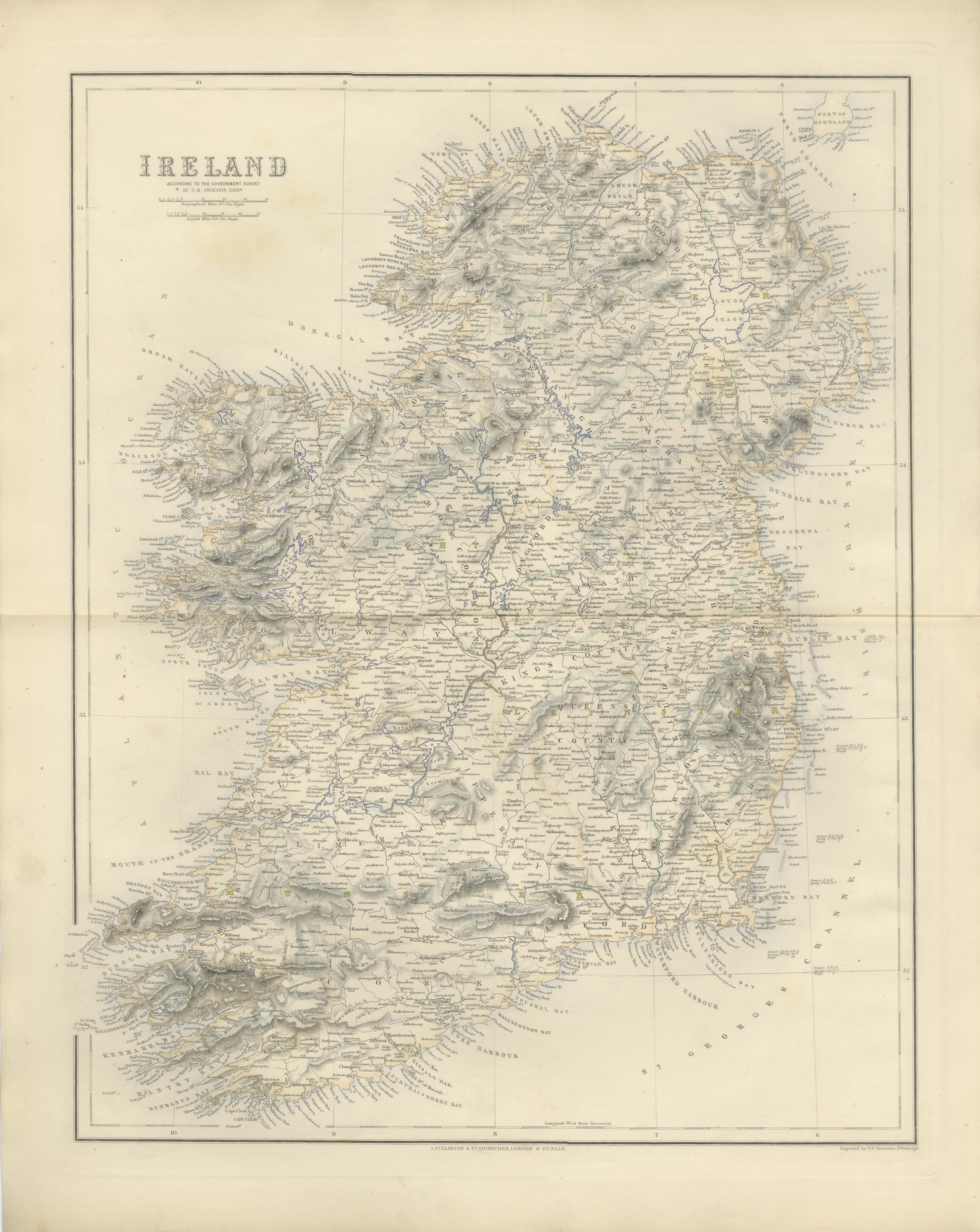
Even age toning. Marked handling soiling along the bottom, left and top edges. Scattered light foxing in the margin. Complete sheet, all four corners present. Several larger brown marks. Original center fold as issued.
About this sheet
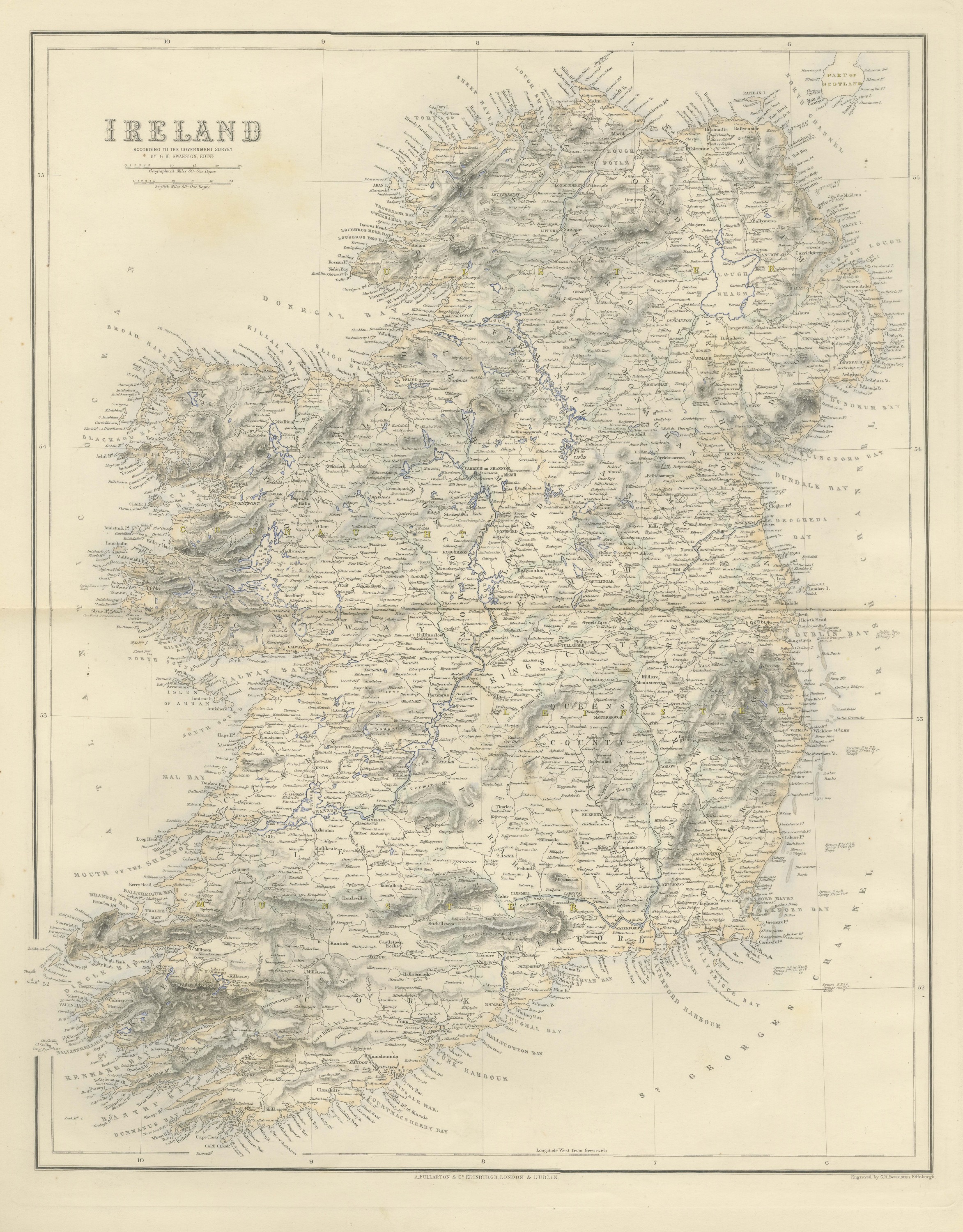
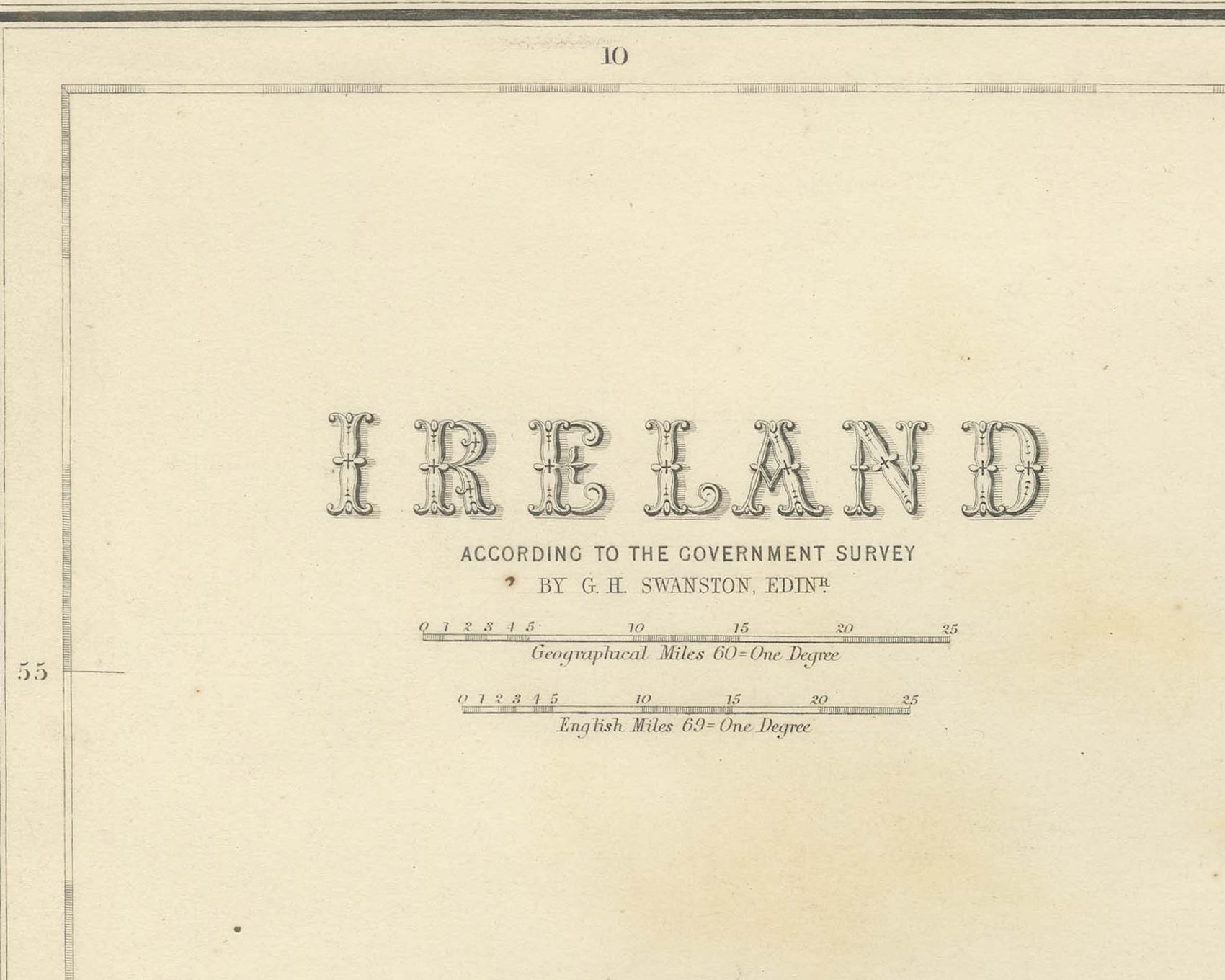
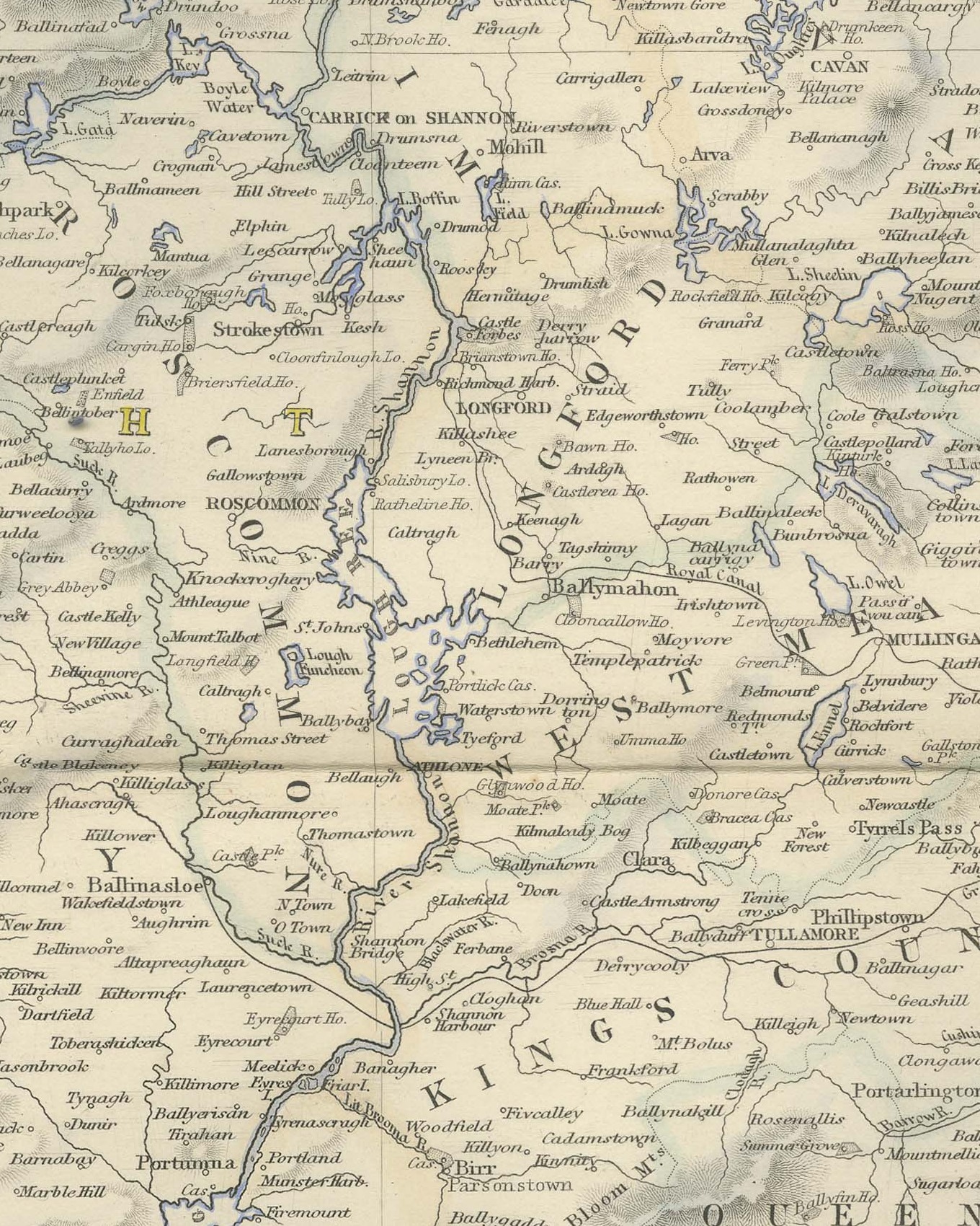
This is an original antique engraved map, colored by hand, from Fullarton's Companion Atlas to the Gazetteer of the World. The title in the upper left reads "IRELAND", with the line "ACCORDING TO THE GOVERNMENT SURVEY" beneath it. The whole island is shown upright on one sheet, with the Mull of Cantyre at the upper right, lettered "PART OF SCOTLAND", across the "NORTH CHANNEL", and St. George's Channel along the lower right. The county boundaries are outlined in color, and the mountains are shown by hachures.
Every county is named in large spaced lettering, and the province names are lettered across them in color. In the midlands the two counties appear under their old names, "KINGS COUNTY" and "QUEENS COUNTY", with Tullamore, Parsonstown and Maryborough marked within them. The Royal Canal and the Grand Canal are traced across the center of the island toward the Shannon. Along the coasts are a great many headlands, bays and harbors, among them Bantry Bay, Kenmare Bay and Dundalk Bay. Two scale bars give "Geographical Miles 60 = One Degree" and "English Miles 69 = One Degree".
Below the title the map is credited "BY G. H. SWANSTON, EDINR." The engraver's line below the lower right corner of the border reads "Engraved by G.H. Swanston, Edinburgh.", and the imprint centered below the border reads "A. FULLARTON & Co. EDINBURGH, LONDON & DUBLIN."
The sheet comes from The Companion Atlas to the Gazetteer of the World, published by A. Fullarton and Co. of London, Edinburgh and Dublin and issued to subscribers in parts. The printed wrapper of Part 7, which survives with these maps, bills the work as comprehending forty-three beautifully colored maps engraved by G. H. Swanston, and it is marked "Colored Copy". King's County and Queen's County were renamed Offaly and Laois after the founding of the Irish Free State in 1922.
Condition: Even age toning. Marked handling soiling along the bottom, left and top edges. Scattered light foxing in the margin. Complete sheet, all four corners present. Several larger brown marks. Original center fold as issued.
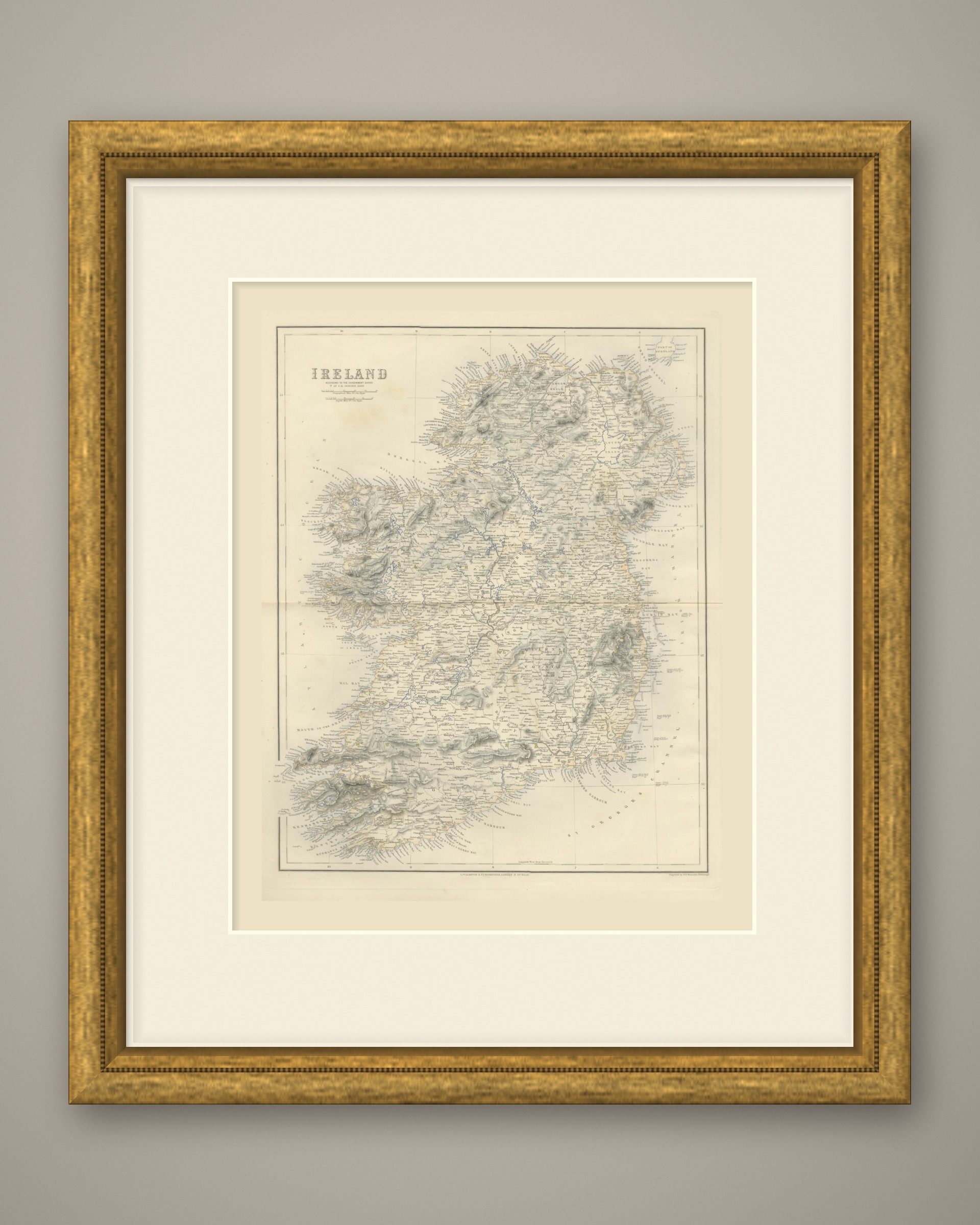
This is an original antique map, not a modern reproduction. This item is sold unframed. Any framed or interior images are shown for presentation and inspiration only, unless the listing explicitly states that the item is sold framed.