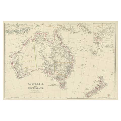
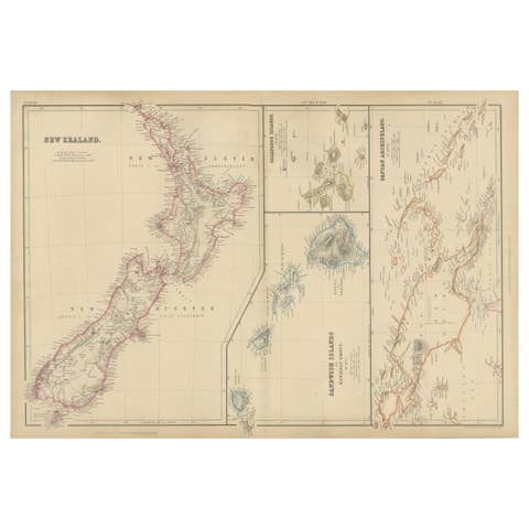
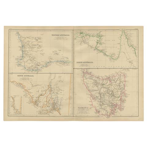
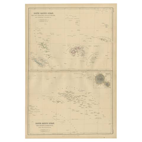
Antique Map of Australia and New Zealand with Mount Alexander Inset, circa 1860
€ 525
Original antique · The actual sheet photographed · Certificate of authenticity on request · Sold unframed · Worldwide shipping from € 15 (rates)
Date
circa 1860
Mapmaker / artist
Drawn by Augustus Petermann; engraved by G. H. Swanston
Publisher
A. Fullarton and Co.
Technique
Engraving
Coloring
Hand colored
Condition
Good
Reference
BG-14396-3
What the condition grades mean
Excellent
Bright and clean, with no faults worth mentioning.
Very good
Only light signs of age, such as faint toning.
Good
Normal signs of age for a sheet of this period: toning, some foxing, small marks or neat old repairs.
Fair
Clear faults such as staining, tears or repairs, priced to match.
Every fault we see is written in the condition note, and the whole sheet is shown uncropped in the photos.
Condition
Even age toning. Marked handling soiling along the left and right edges. Scattered light foxing in the margin. Complete sheet, all four corners present. Several larger brown marks. Original center fold as issued.
About this sheet
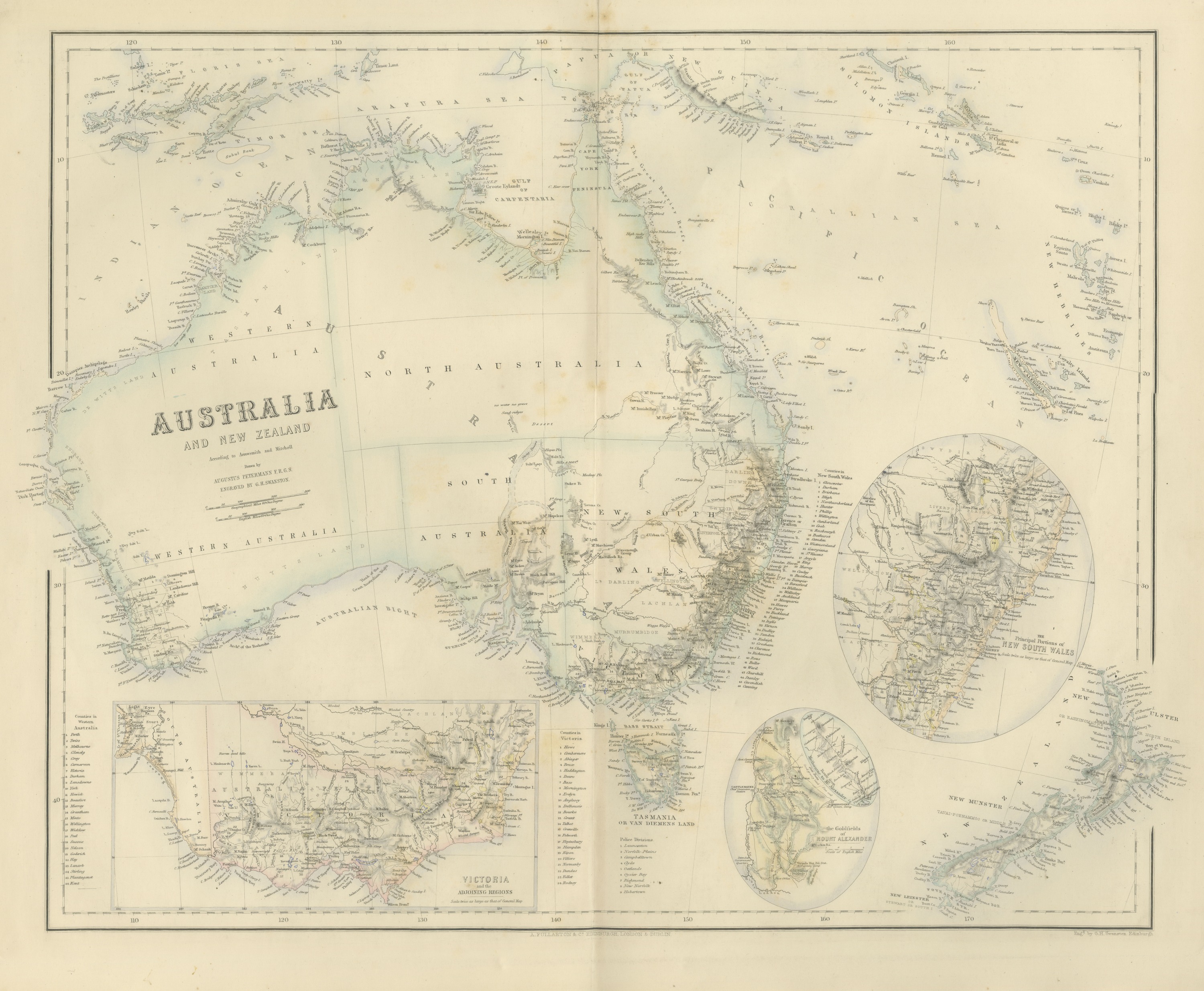
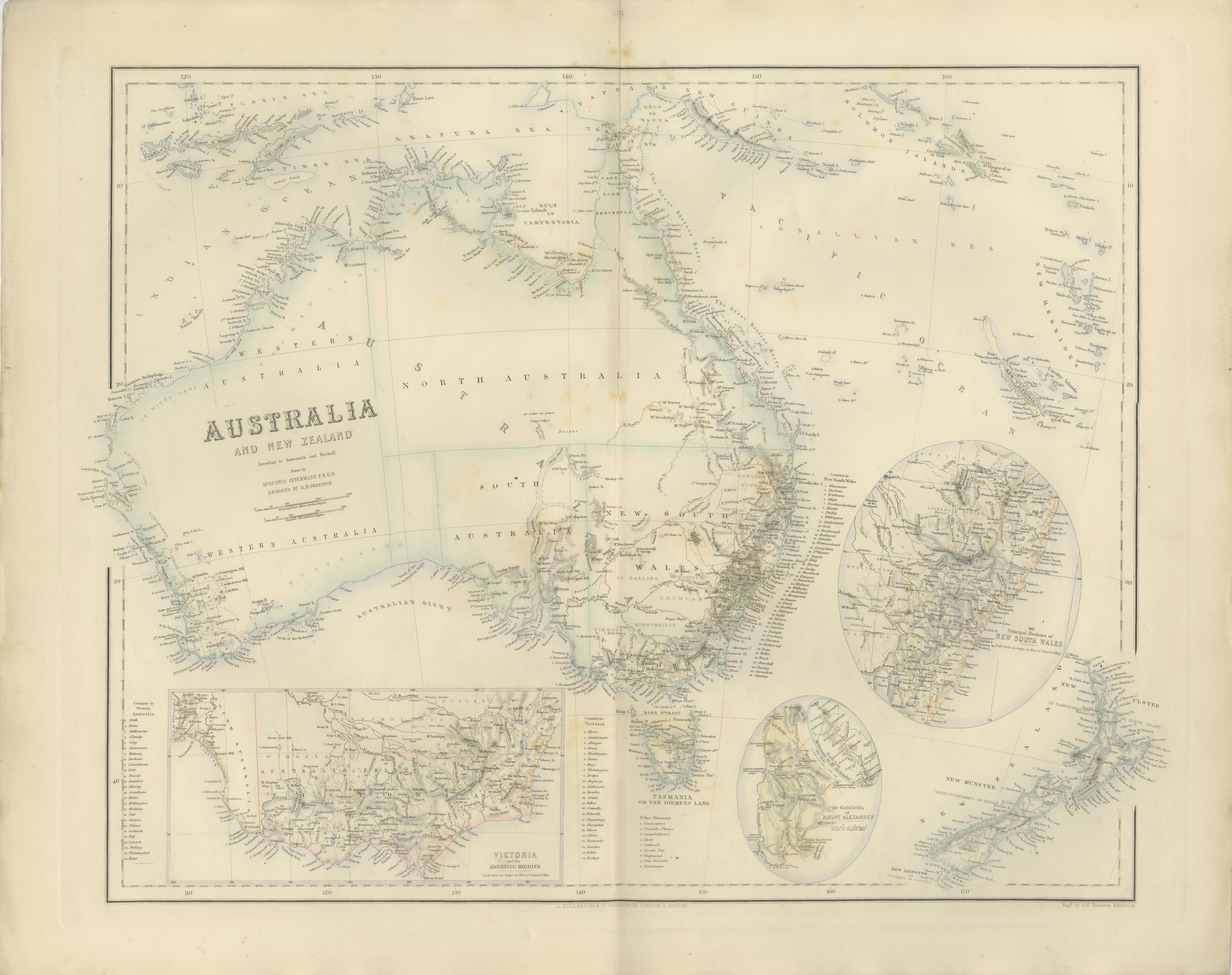
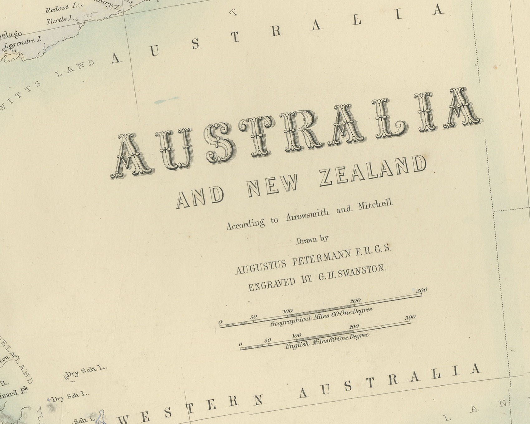
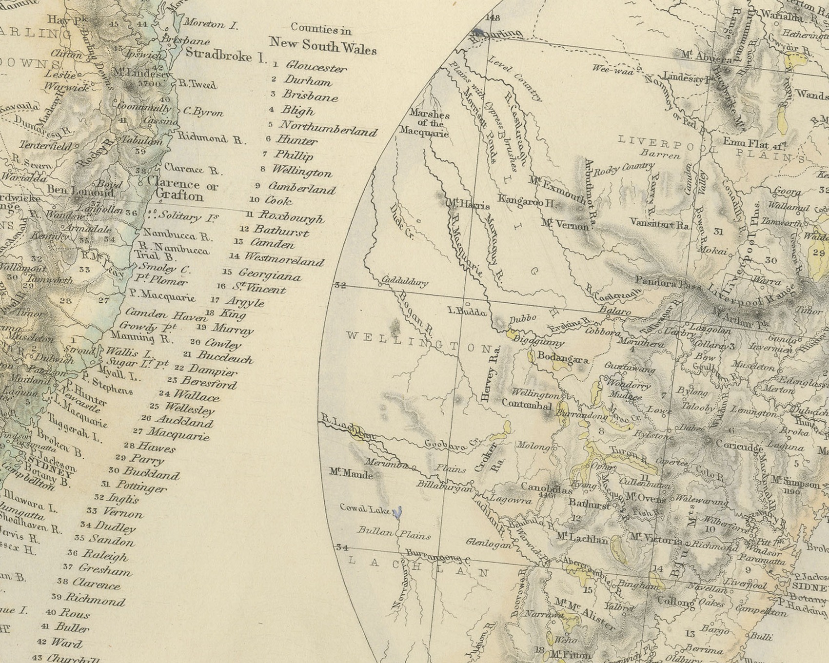
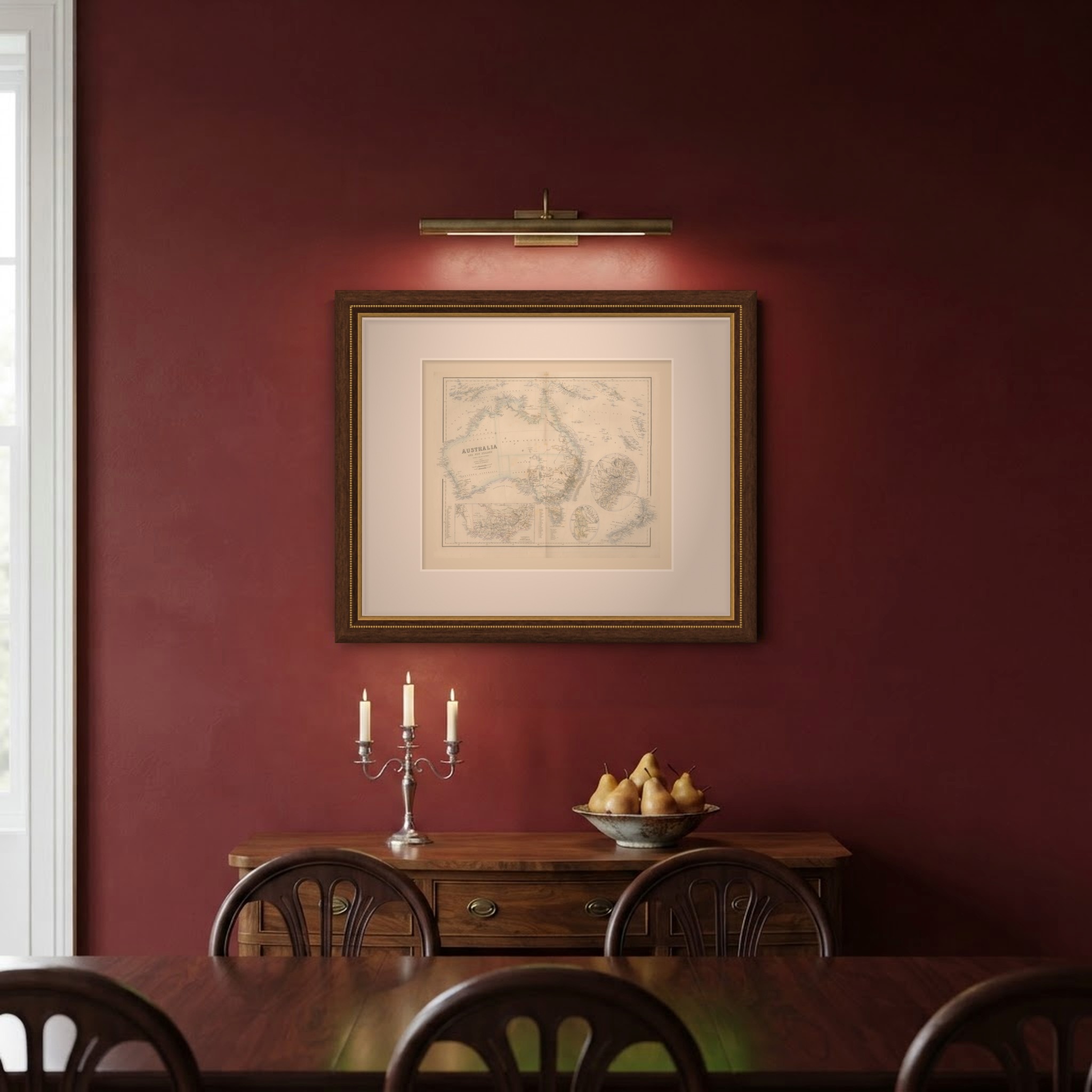
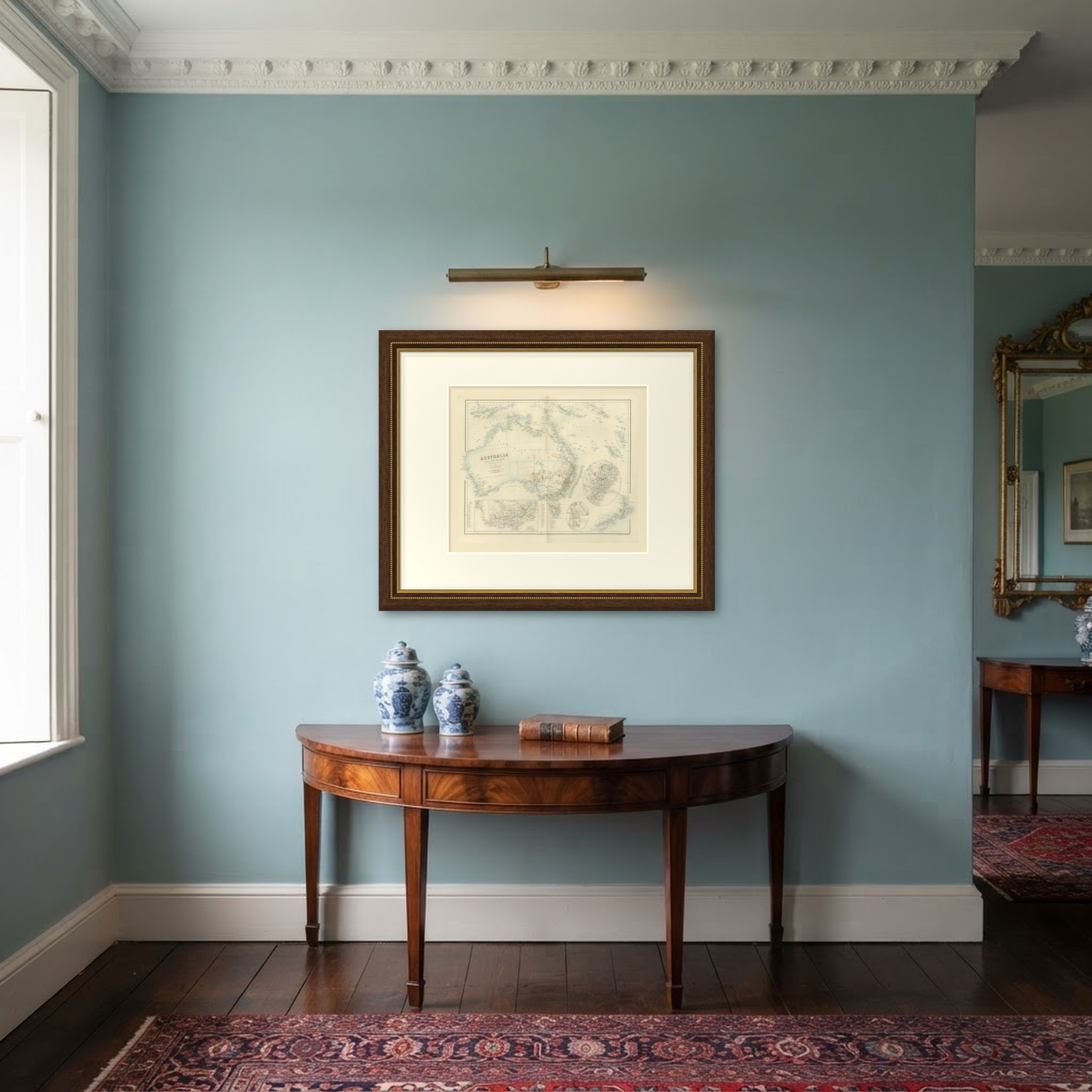
This is an original antique engraved map, colored by hand, from Fullarton's Companion Atlas to the Gazetteer of the World. The title reads "AUSTRALIA AND NEW ZEALAND", with the line "According to Arrowsmith and Mitchell". The general map shows the whole continent with southern New Guinea, the Arafura Sea and the islands to the north, the Solomon Islands and the New Hebrides to the east, and New Zealand at the lower right. Across the interior are lettered "WESTERN AUSTRALIA", "NORTH AUSTRALIA", "SOUTH AUSTRALIA" and "NEW SOUTH WALES"; the coasts and boundaries are colored by hand.
Three insets fill the lower part and right side of the sheet. At the lower left is "VICTORIA and the ADJOINING REGIONS", lettered "Scale twice as large as that of General Map". An oval inset shows "the Goldfields of MOUNT ALEXANDER", with Castlemaine, Golden Point, Forest Creek and the diggings, together with a small "Route from Melbourne to Mt. Alexander". A large circular inset at the right center is titled "THE Principal Portions of NEW SOUTH WALES", with Sydney lettered "SIDNEY". On the general map the island is lettered "TASMANIA OR VAN DIEMENS LAND", with a list of its "Police Divisions", and New Zealand is divided into "NEW ULSTER", "NEW MUNSTER" and "NEW LEINSTER". Numbered lists name the counties of the colonies.
The cartouche reads "Drawn by AUGUSTUS PETERMANN F.R.G.S." and "ENGRAVED BY G.H. SWANSTON." The engraver's line below the lower right corner of the border reads "Engd. by G.H. Swanston Edinburgh", and the imprint centered below the border reads "A. FULLARTON & Co. EDINBURGH, LONDON & DUBLIN."
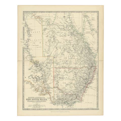
The sheet comes from The Companion Atlas to the Gazetteer of the World, published by A. Fullarton and Co. of London, Edinburgh and Dublin and issued to subscribers in parts. The printed wrapper of Part 7, which survives with these maps, bills the work as comprehending forty-three beautifully colored maps engraved by G. H. Swanston, and it is marked "Colored Copy". Van Diemen's Land was officially renamed Tasmania in 1856, and New Ulster and New Munster were provinces of the colony of New Zealand until 1853.
Condition: Even age toning. Marked handling soiling along the left and right edges. Scattered light foxing in the margin. Complete sheet, all four corners present. Several larger brown marks. Original center fold as issued.
This is an original antique map, not a modern reproduction. This item is sold unframed. Any framed or interior images are shown for presentation and inspiration only, unless the listing explicitly states that the item is sold framed.