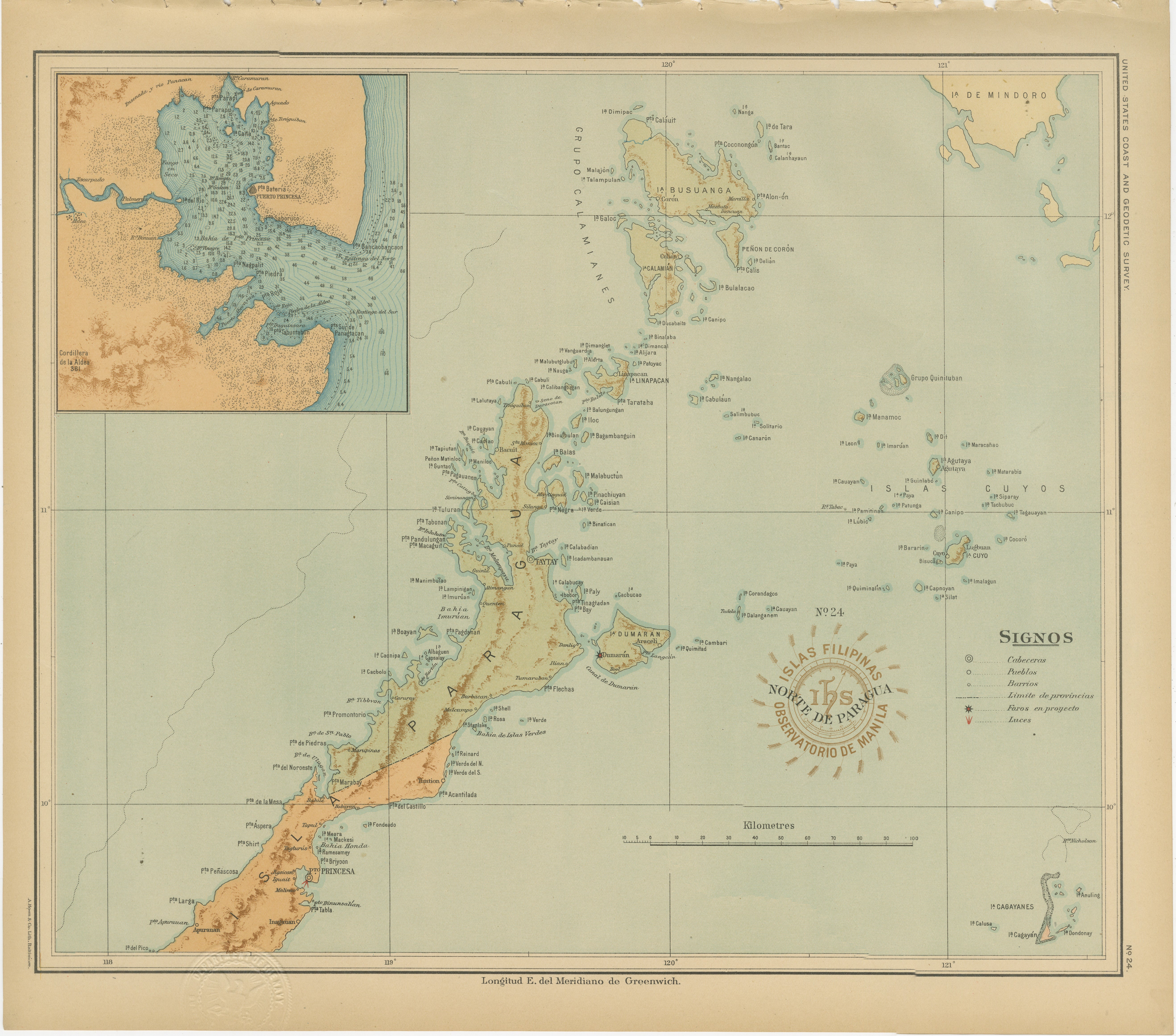
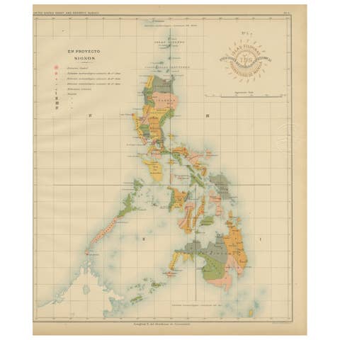
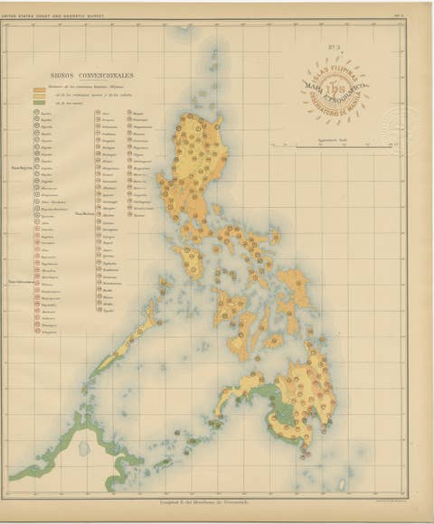
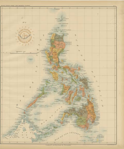
Map of the Northern Part of Palawan – Observatorio de Manila, 1899
€ 440
One of a kind: this is the sheet in the photographs. Ships from Langweer, the Netherlands.
Date
1899
Sheet size
32.5 × 37 cm (12.8 × 14.6 in)
Condition
Excellent
Reference
BG-12176-24
Condition
with strong, clean color and minor age toning confined to the edges. Embossed and inked institutional seals are clear and intact.
About this sheet
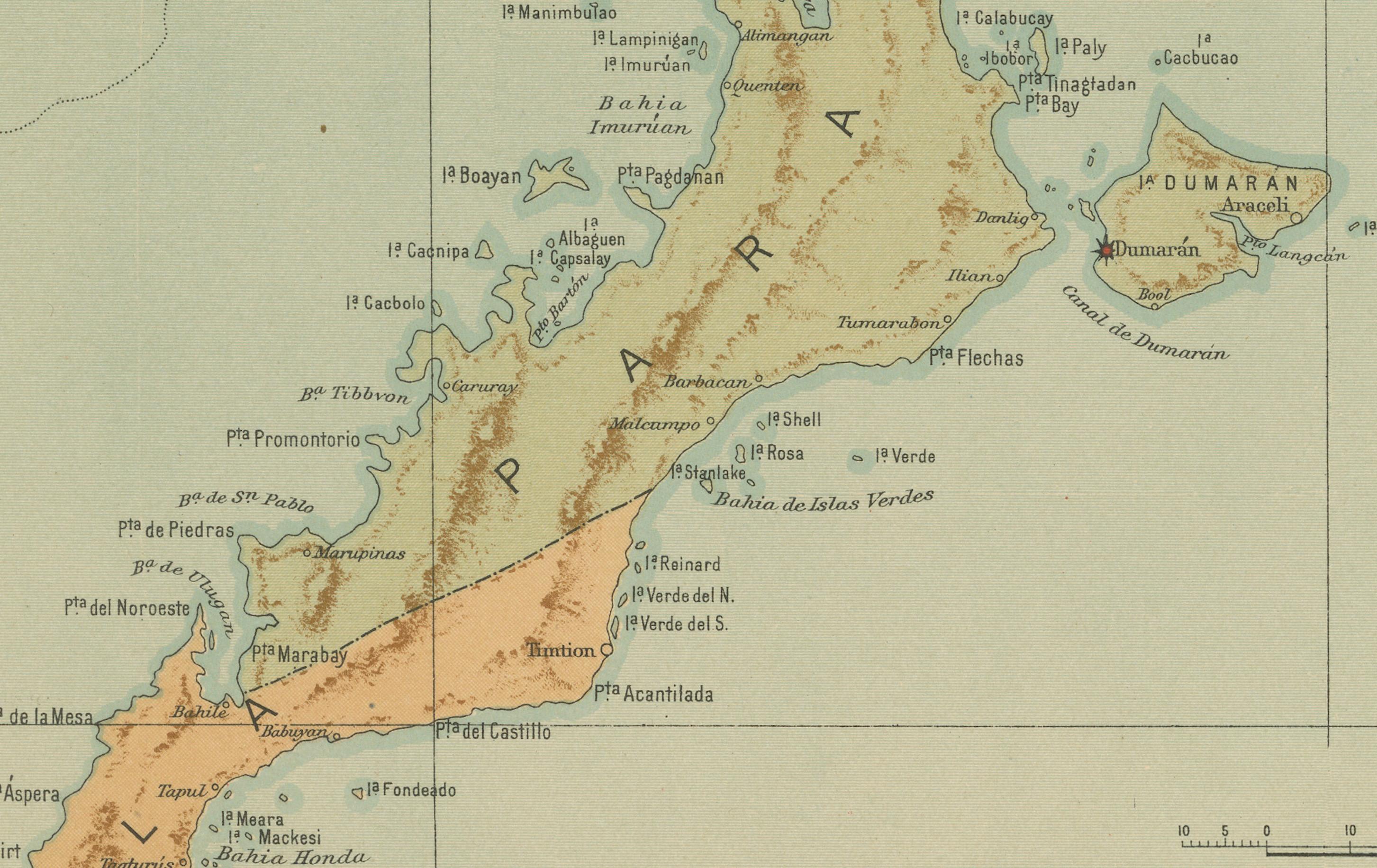
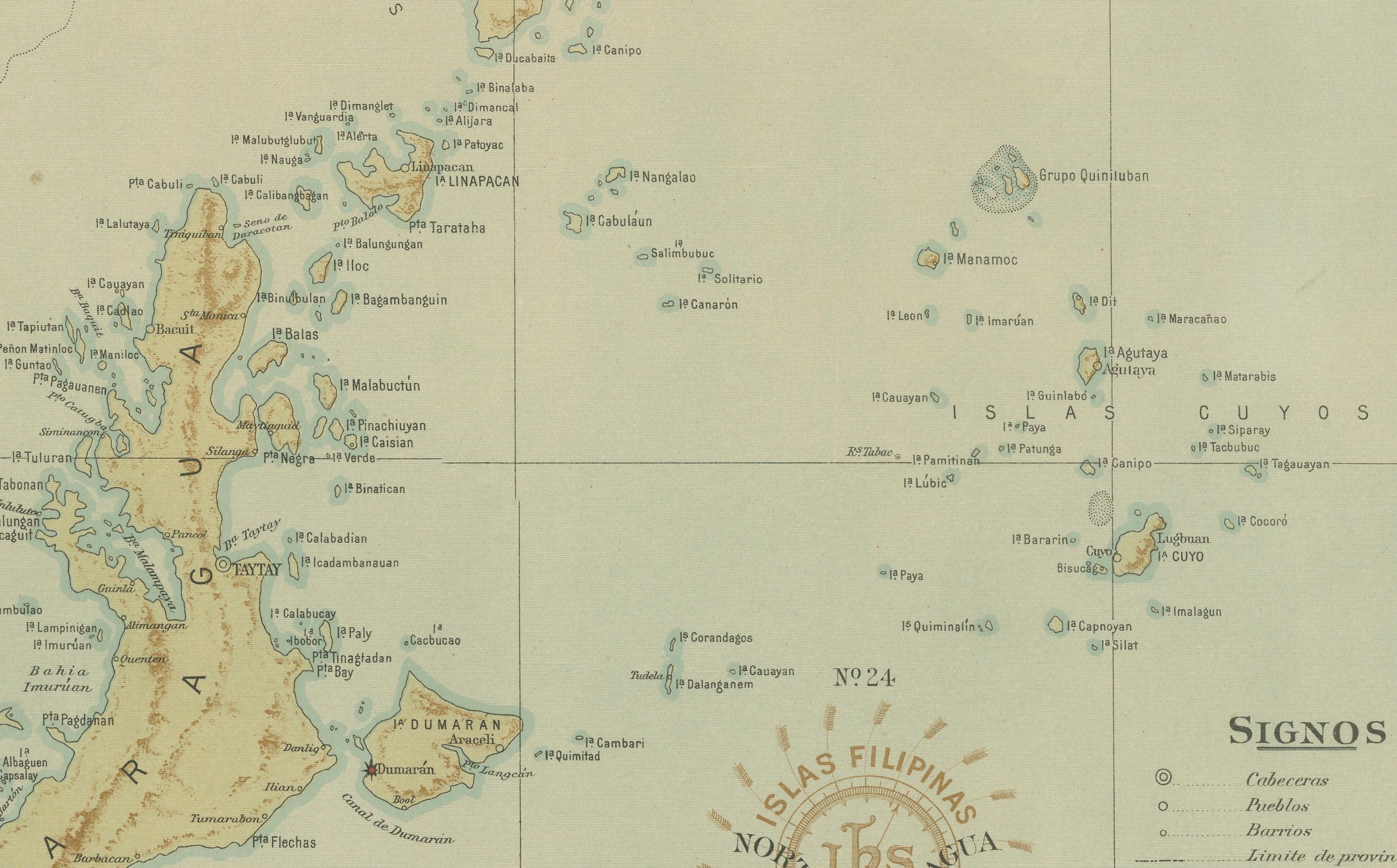
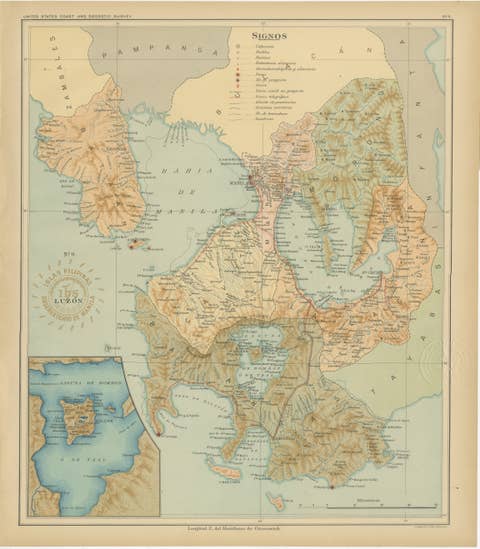
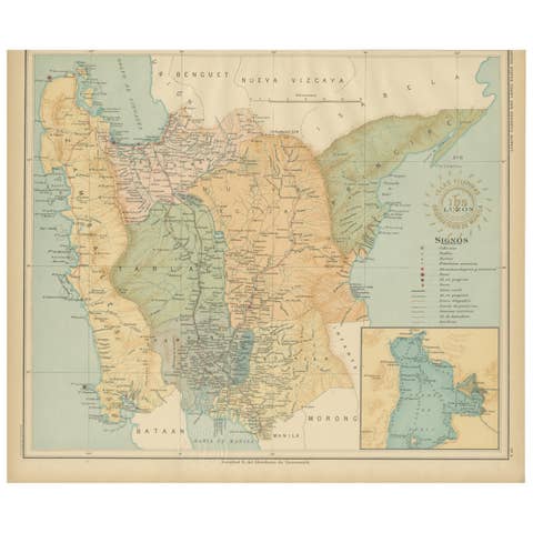
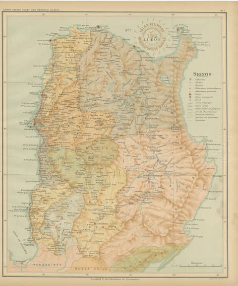
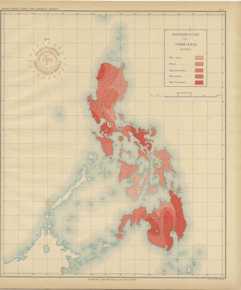
This finely detailed chromolithograph titled “Islas Filipinas – Norte de Paragua” depicts the northern region of Palawan (then known as Paragua) and was published in 1899 under the direction of Rev. José Algué, S.J., Director of the Observatorio de Manila. It is Plate No. 24 from the Atlas de Filipinas, one of the most scientifically important and visually refined atlases of the late 19th century.
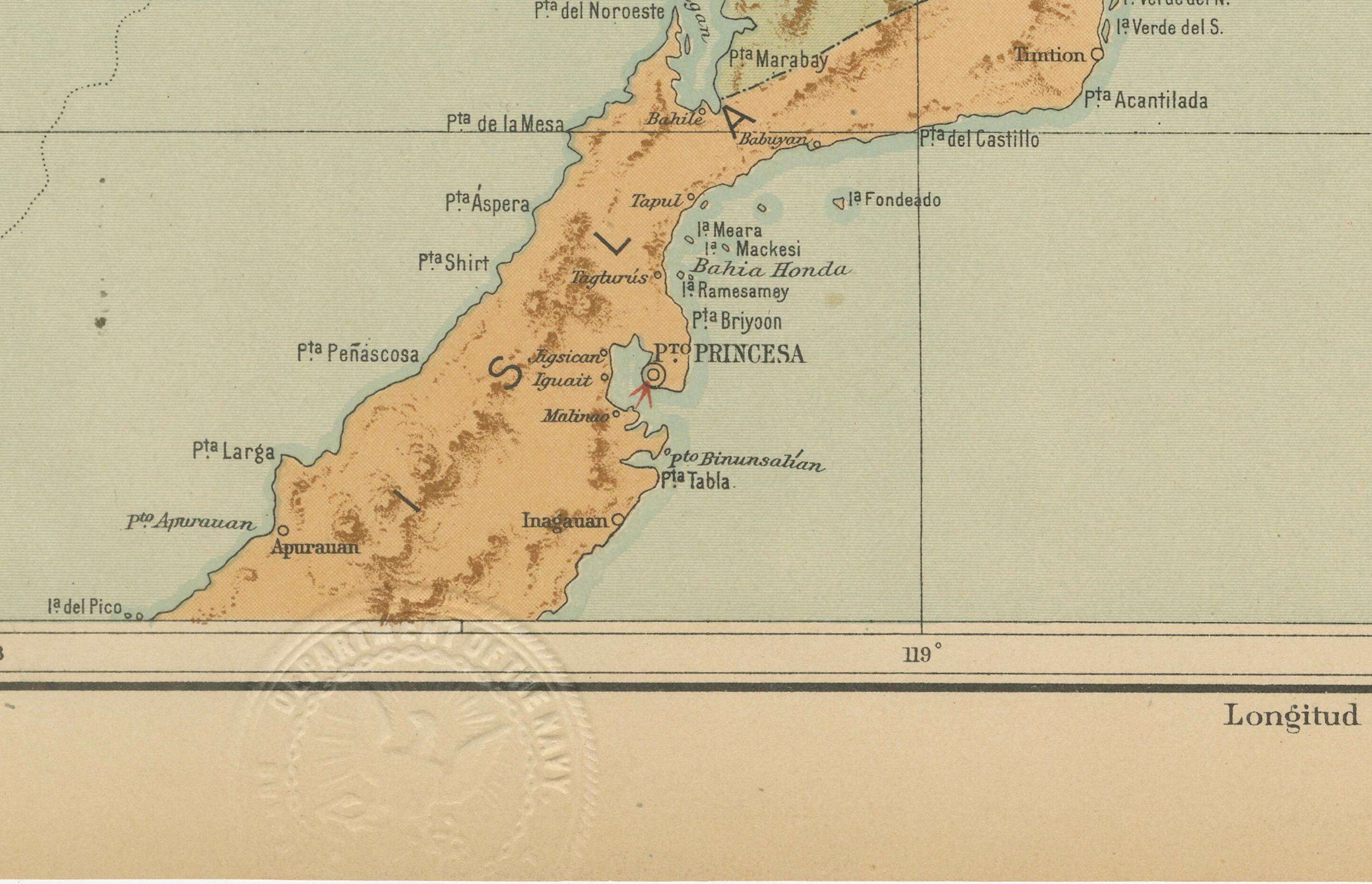
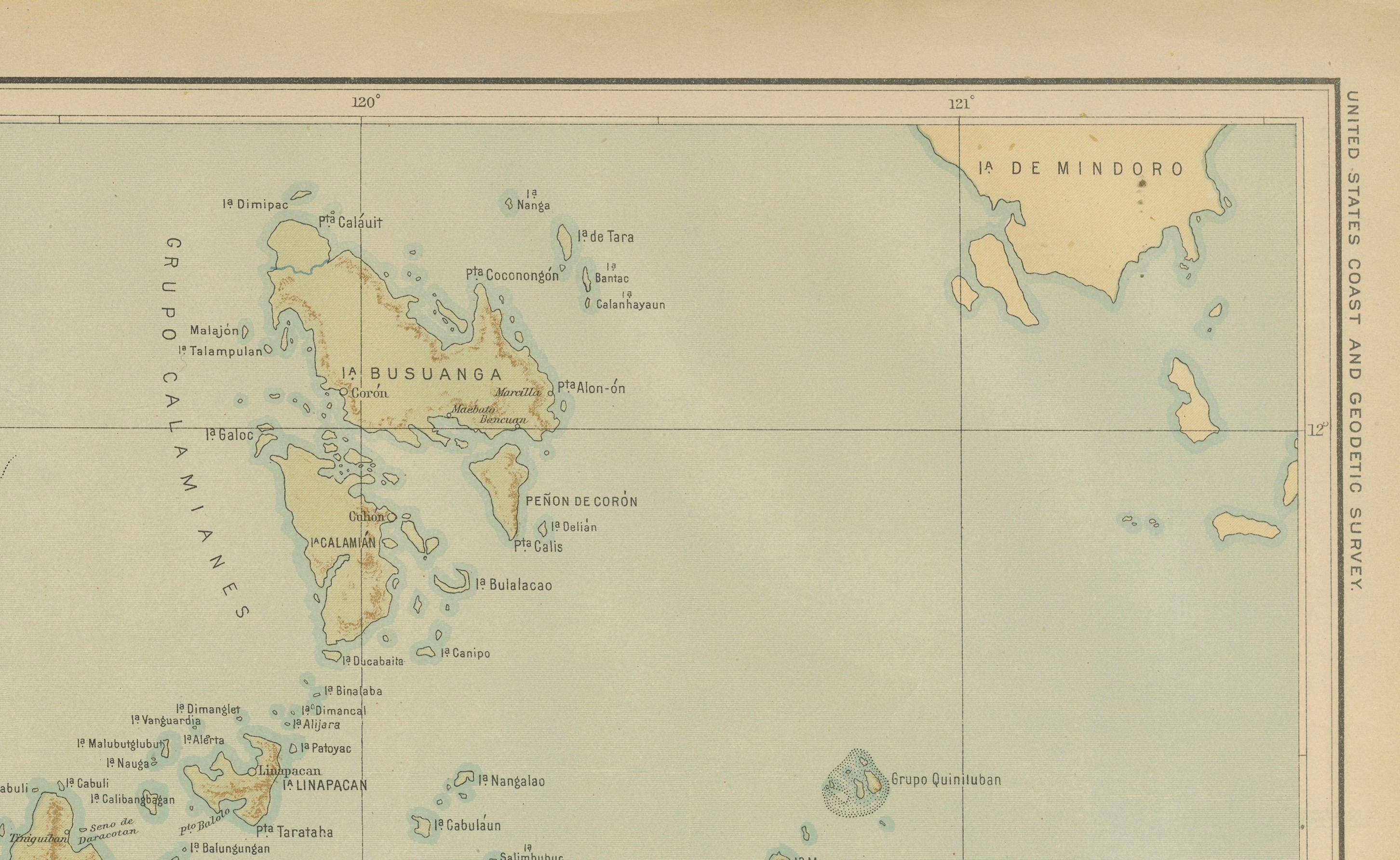
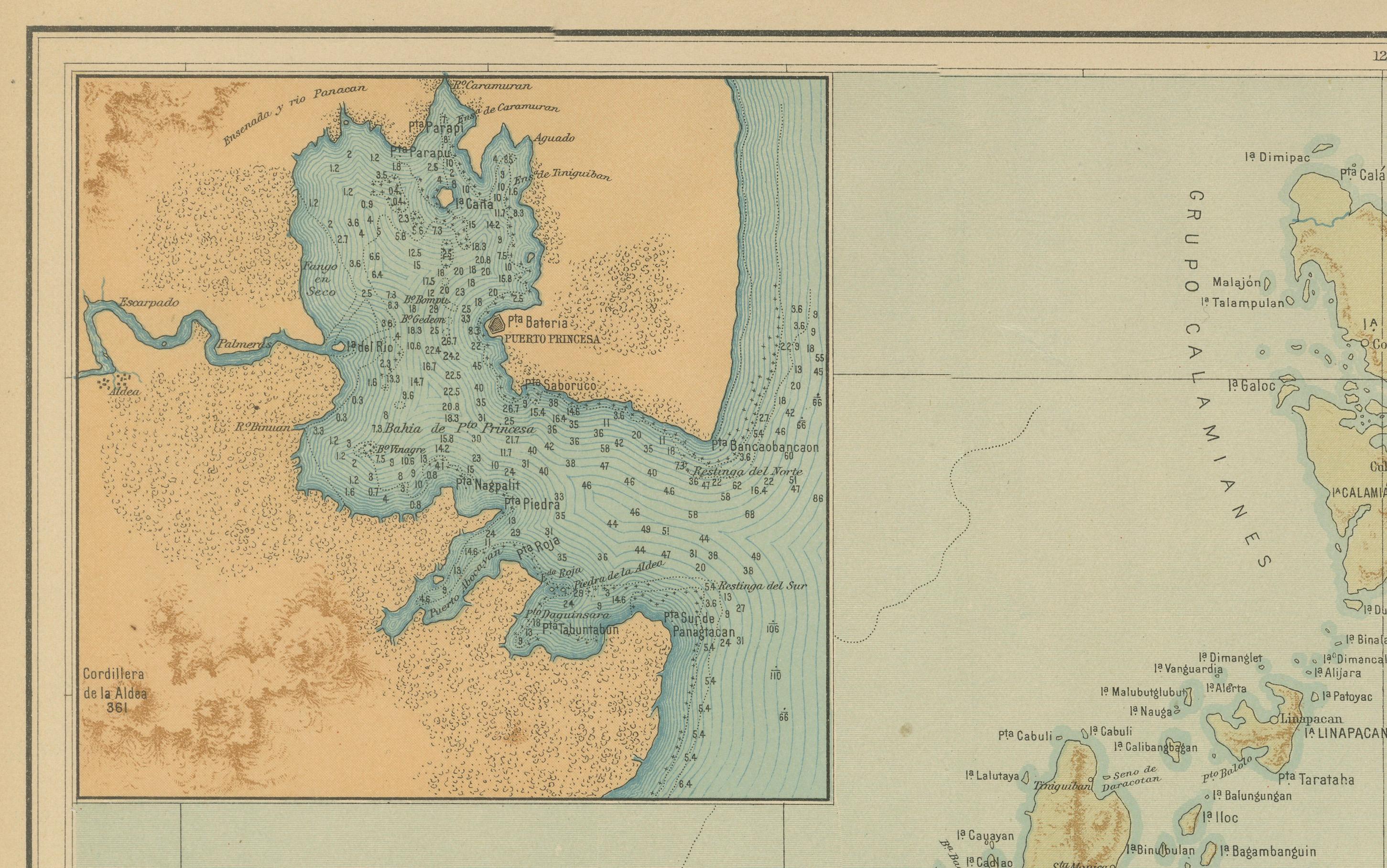
The map captures the elongated and rugged geography of Palawan with exceptional accuracy, from the mountainous spine of the island to its extensive archipelagic coastline. Numerous offshore islands and reefs — including Busuanga, Coron, Culion, and the Cuyo Islands — are clearly labeled, forming an intricate maritime network between the Sulu Sea and the South China Sea. The upper-left inset provides a detailed nautical chart of Puerto Princesa Bay, highlighting depth soundings and coastal features, reflecting the Jesuit Observatory’s collaboration with maritime authorities.
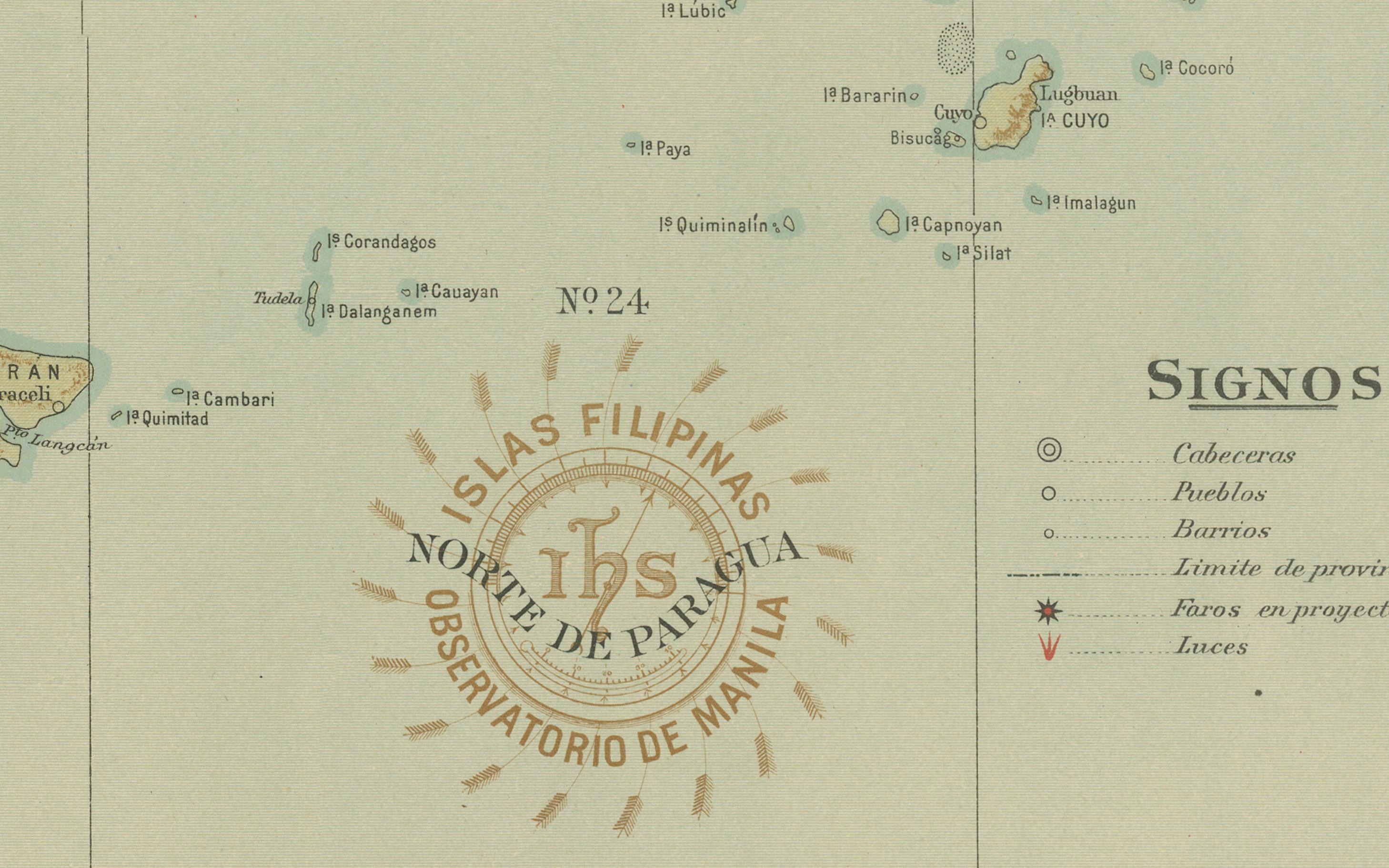
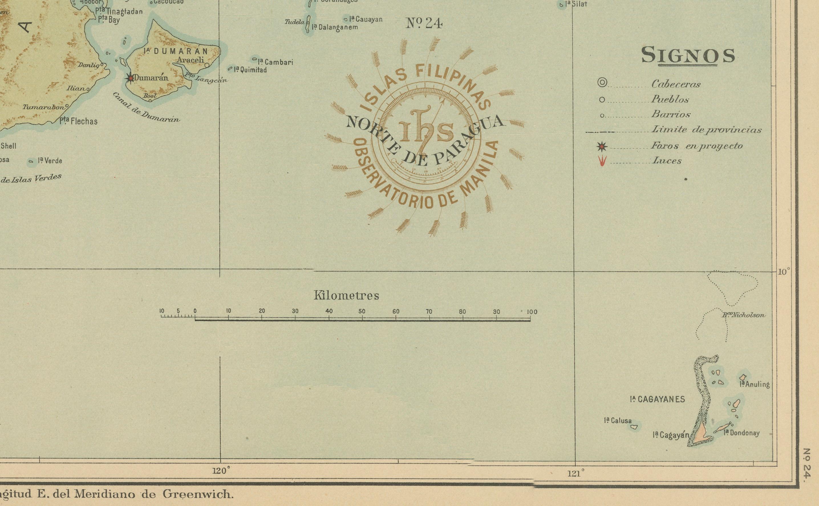
The map’s legend (“Signos”) lists cartographic symbols for provincial capitals, towns, barrios, telegraph lines, and meteorological observatories. The Observatorio de Manila’s round brown stamp appears prominently near the center, alongside the embossed seal of the “U.S. Coast and Geodetic Survey,” confirming this map’s inclusion in the 1900 *Atlas of the Philippine Islands* printed in Washington by the U.S. Government Printing Office.
Originally executed by Filipino draftsmen under Jesuit supervision, this map exemplifies the synthesis of scientific precision and artistic presentation achieved by the Manila Observatory at the turn of the century. Its clarity, pastel color palette, and elegant typography make it both a valuable historical document and an aesthetically striking piece of early Philippine cartography.
Condition: Excellent, with strong, clean color and minor age toning confined to the edges. Embossed and inked institutional seals are clear and intact.
Framing tips: This map is best displayed in a teak or dark oak frame with a soft cream or pale blue mat to complement its maritime tones. It pairs beautifully with other Philippine island maps from the same atlas.
Technique: Chromolithograph on paper Maker: Rev. José Algué, S.J., Observatorio de Manila, 1899