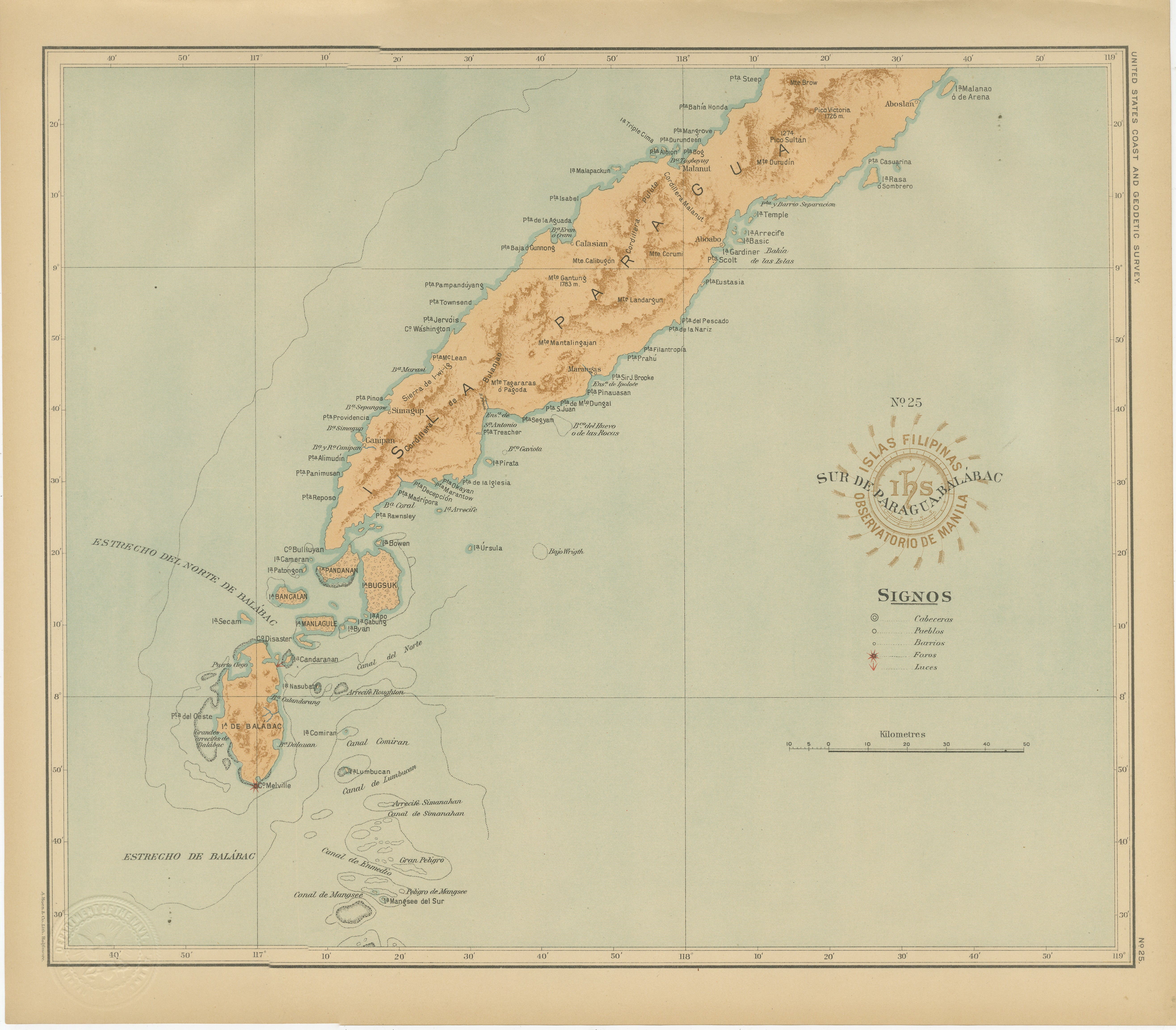
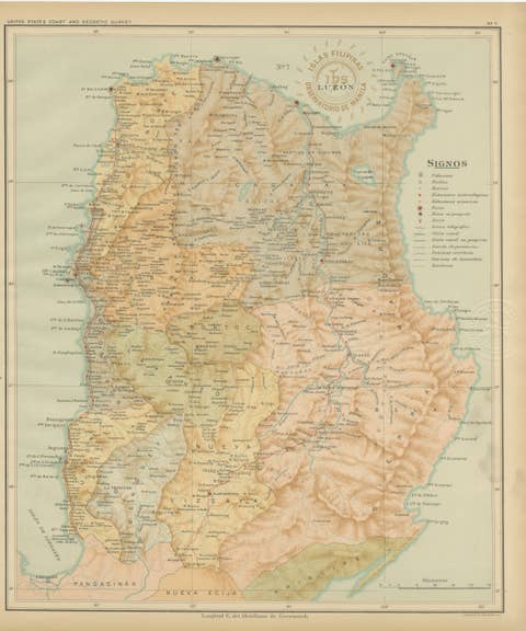
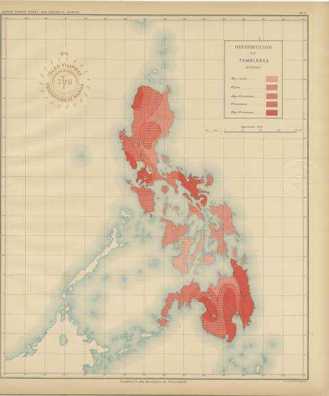
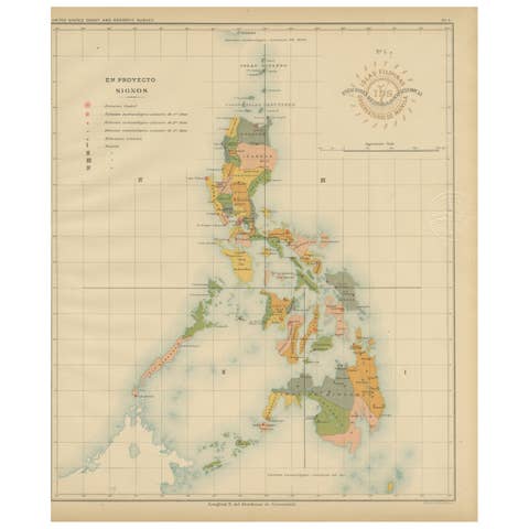
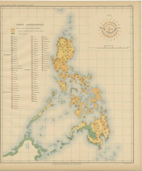
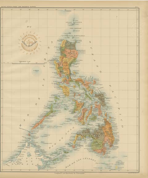
Map of Southern Palawan and the Balabac Islands – Observatorio de Manila, 1899
€ 440
One of a kind: this is the sheet in the photographs. Ships from Langweer, the Netherlands.
Date
1899
Sheet size
32.5 × 37 cm (12.8 × 14.6 in)
Condition
Excellent
Reference
BG-12176-25
Condition
with bright original color, clean paper, and faint toning to the outer margins. Both embossed and inked institutional seals are sharp and legible.
About this sheet
Map of Southern Palawan and the Balabac Islands – Observatorio de Manila, 1899
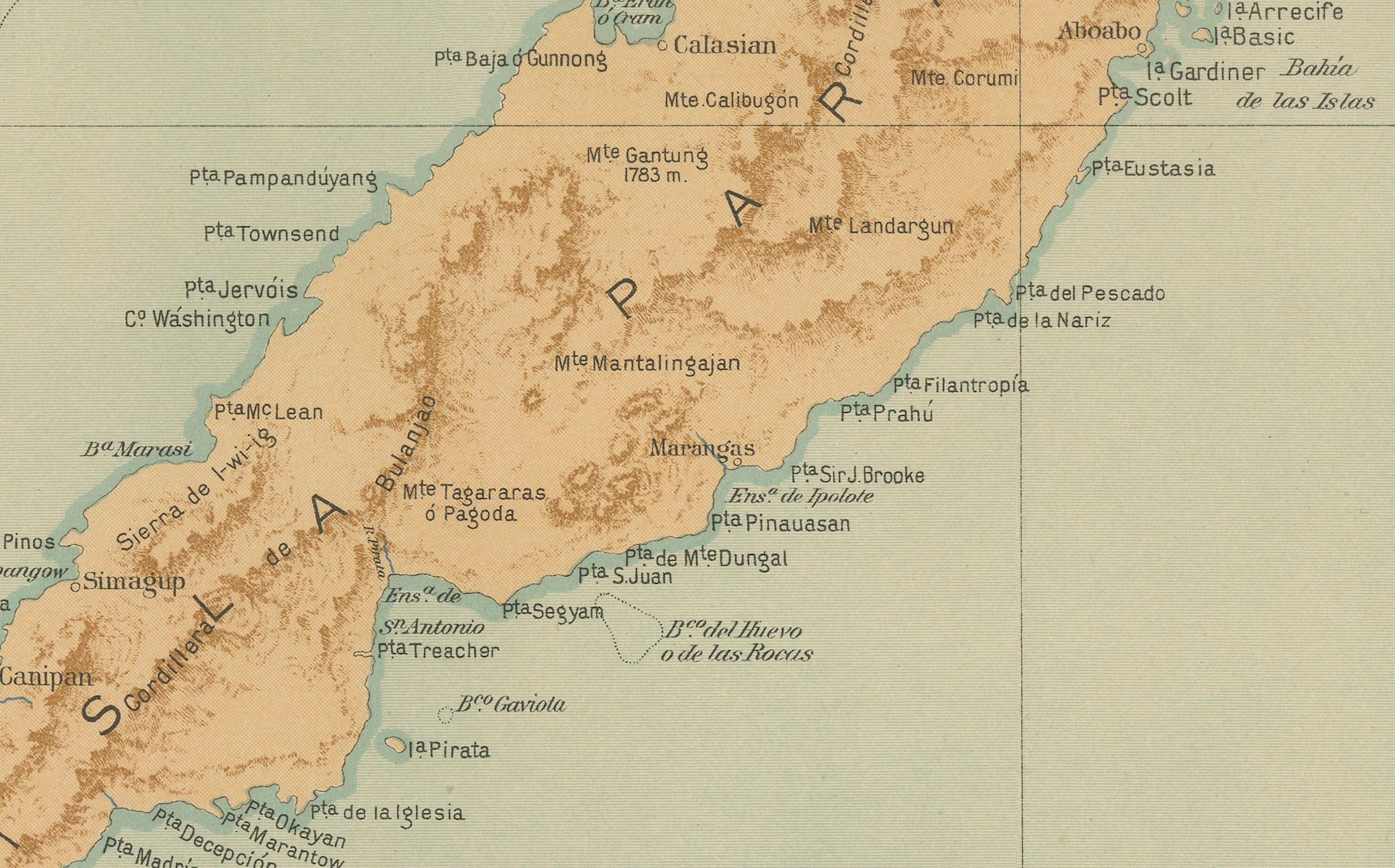
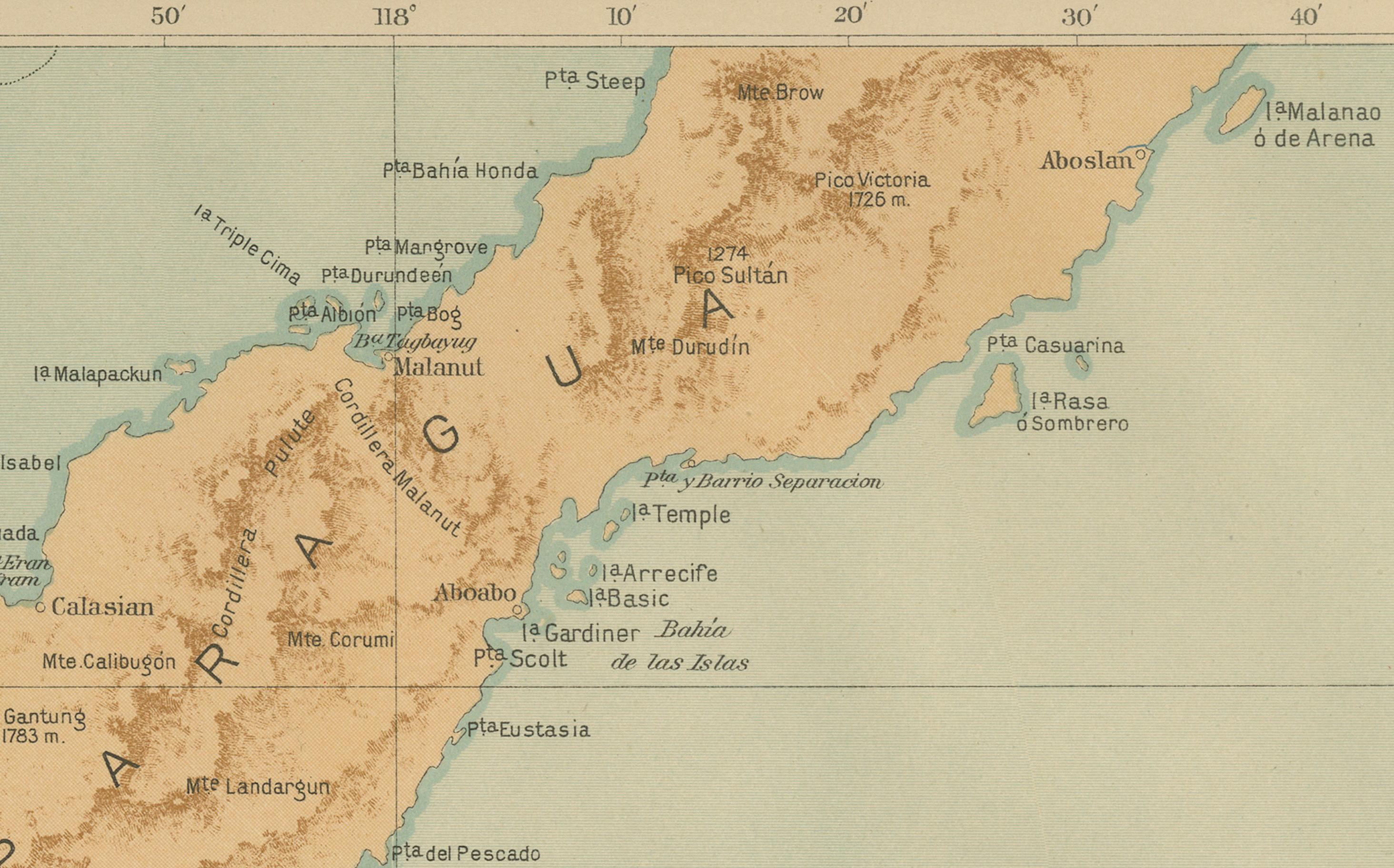
This original chromolithograph titled “Islas Filipinas – Sur de Paragua y Balabac” was produced under the direction of Rev. José Algué, S.J., Director of the Observatorio de Manila, and published in 1899 as Plate No. 25 from the Atlas de Filipinas. It depicts the southern portion of Palawan (then known as Paragua) along with the remote Balabac Islands, situated at the southwestern edge of the Philippine archipelago near Borneo.
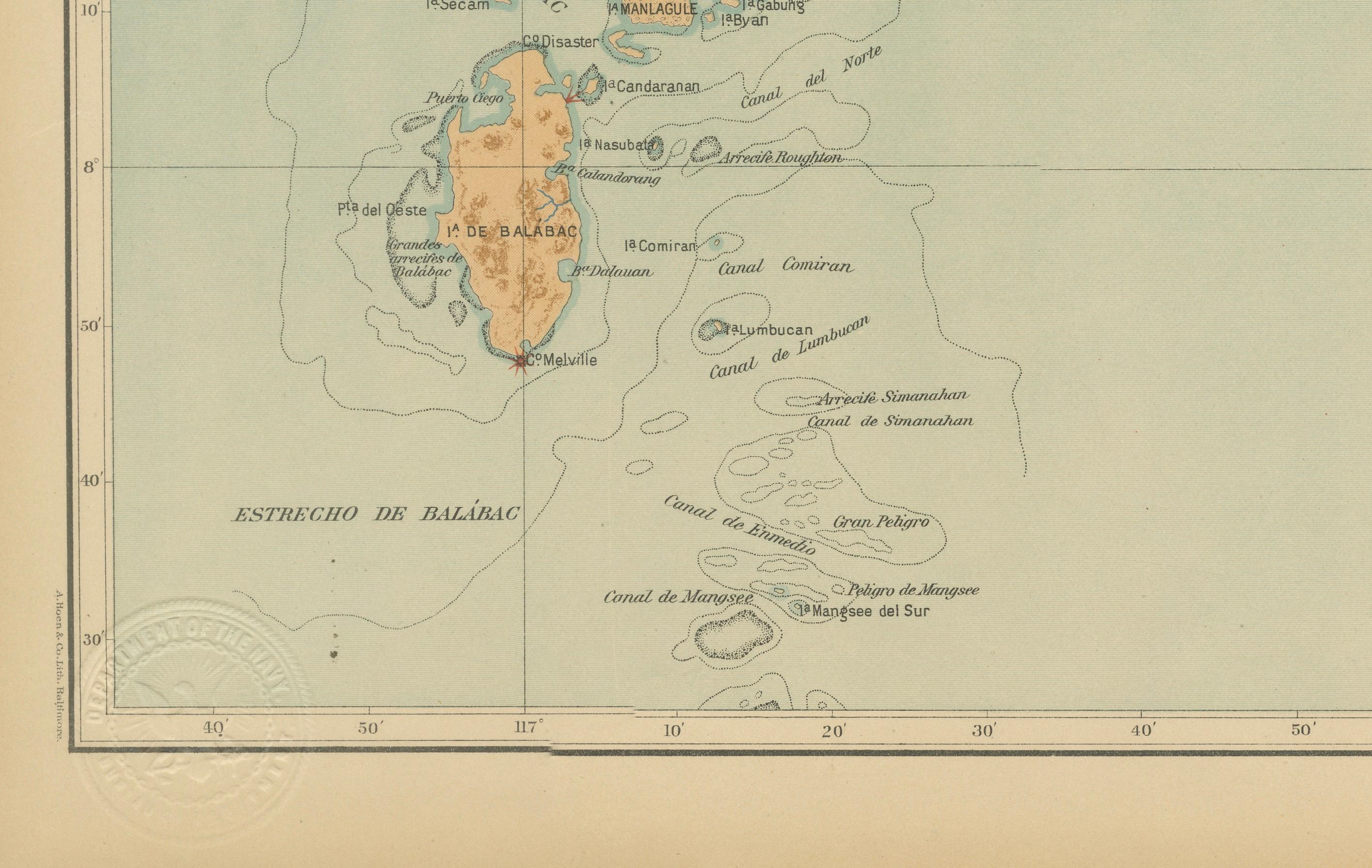
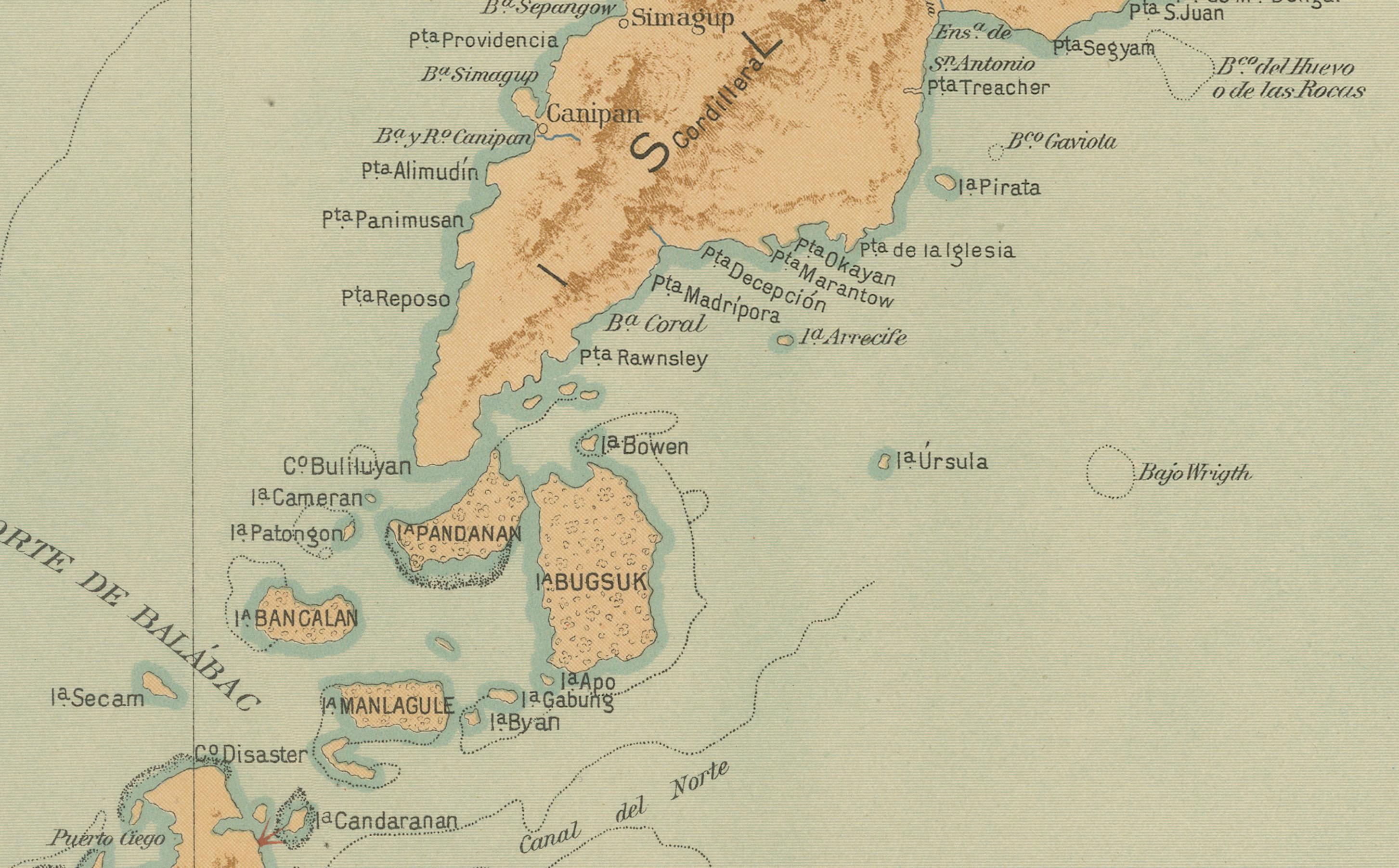
The map captures the long, tapering form of Palawan’s southern peninsula in remarkable detail, with finely shaded relief illustrating its mountainous interior and intricate coastal geography. Numerous settlements, bays, and small offshore islands are precisely identified, including the key towns of Quezon, Brooke’s Point, and Balabac. Maritime features such as the *Estrecho del Norte de Balabac* and *Estrecho de Balábac* (the Balabac Strait) are clearly labeled, marking one of the main sea passages between the Philippines and northern Borneo.
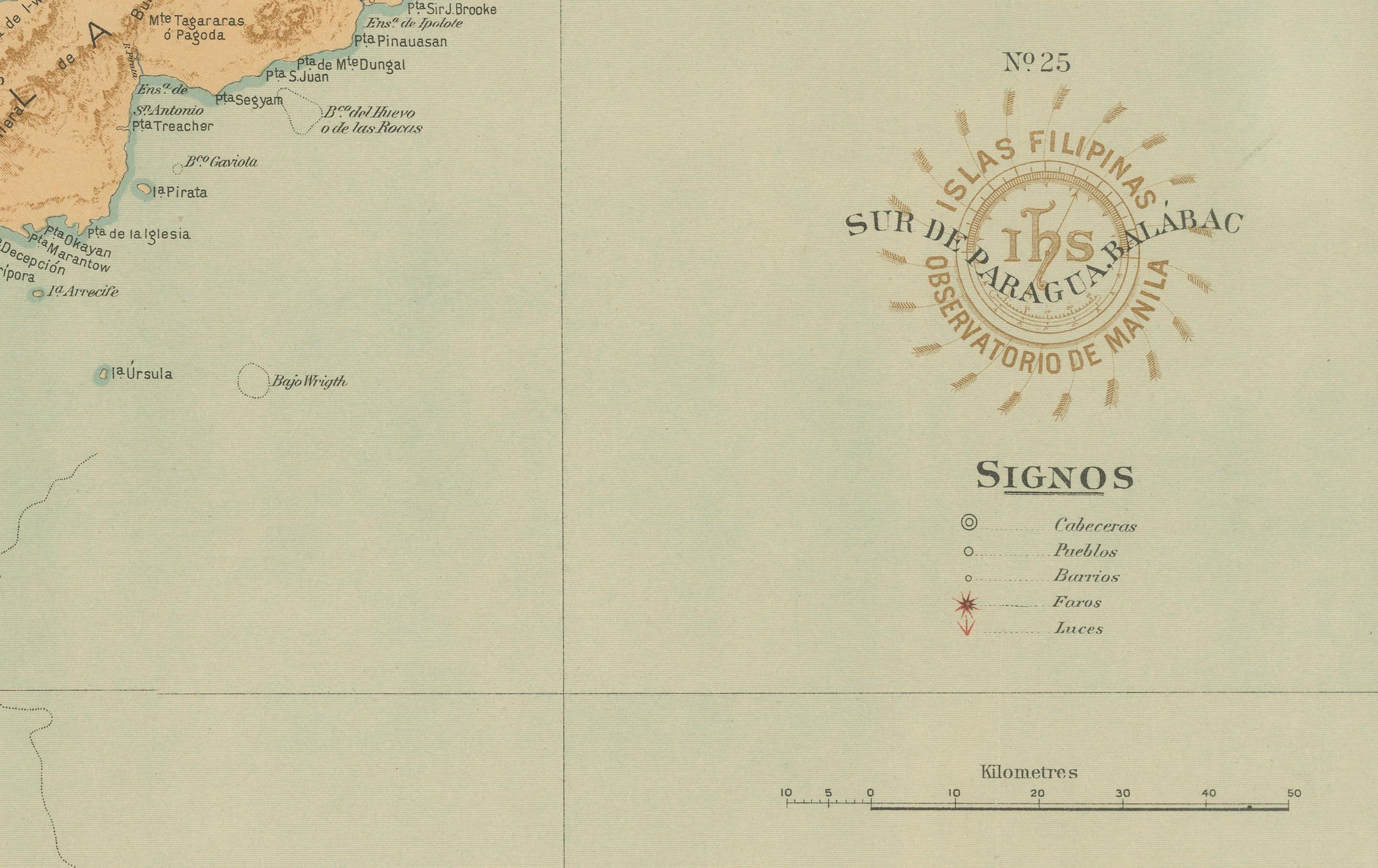
The legend (“Signos”) identifies symbols for capitals, pueblos, barrios, and meteorological observatories, reflecting the Jesuit Observatory’s scientific methodology. The warm brown and soft aqua tones of the chromolithography create an elegant visual balance, highlighting both the rugged topography and surrounding marine environment.
Stamped with the distinctive circular seal of the “Observatorio de Manila” and bearing the embossed emblem of the “U.S. Coast and Geodetic Survey,” this plate later appeared in the 1900 *Atlas of the Philippine Islands*, published in Washington by the U.S. Government Printing Office. The collaboration between Filipino draftsmen and Jesuit scientists produced what remains one of the finest examples of late 19th-century Philippine scientific cartography.
Condition: Excellent, with bright original color, clean paper, and faint toning to the outer margins. Both embossed and inked institutional seals are sharp and legible.
Framing tips: Ideally displayed in a dark walnut or teak frame with a cream mat to emphasize the natural tones of land and sea. A striking historical piece that pairs beautifully with the companion map of Northern Palawan.
Technique: Chromolithograph on paper Maker: Rev. José Algué, S.J., Observatorio de Manila, 1899