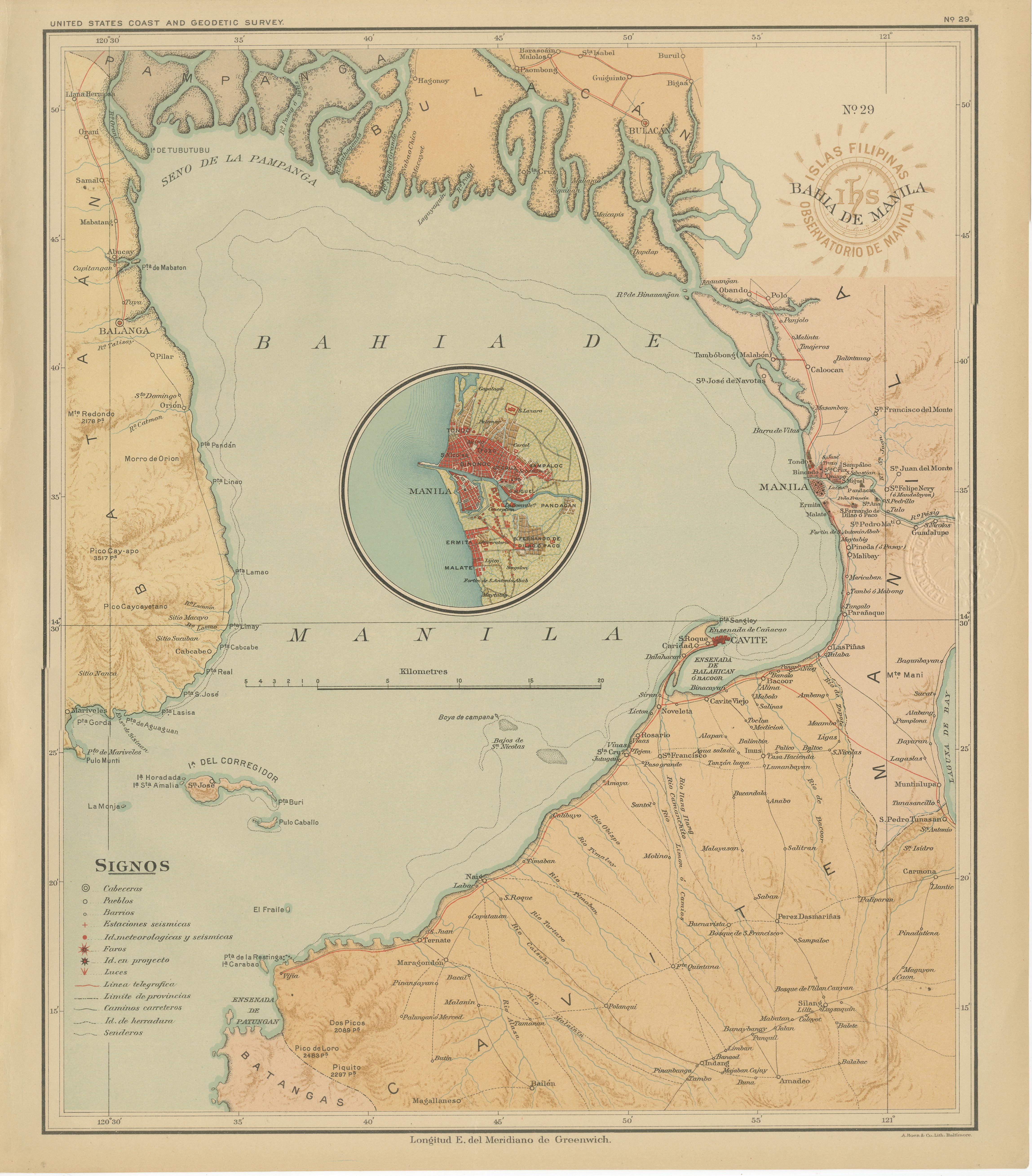
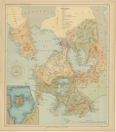
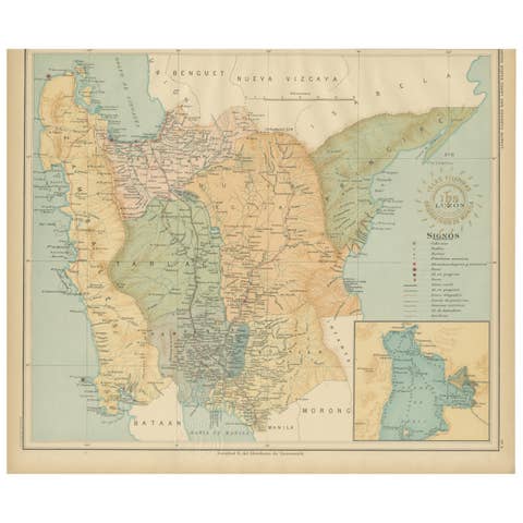
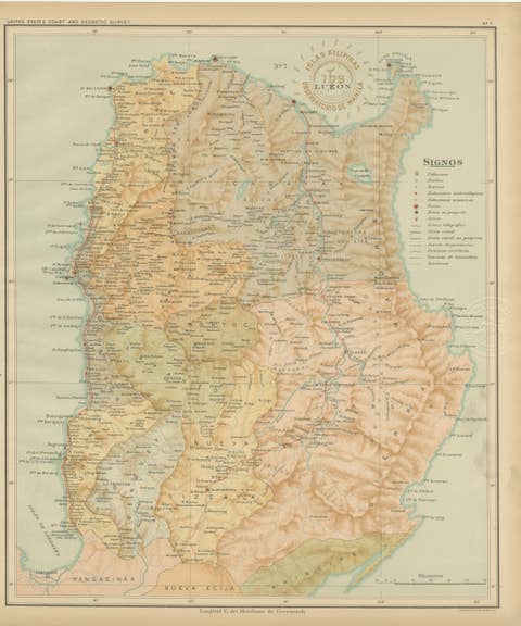
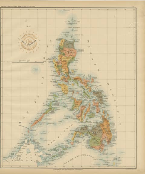
Map of Manila Bay and Environs – Observatorio de Manila, 1899
€ 720
Original antique · The actual sheet photographed · Certificate of authenticity on request · Sold unframed · Worldwide shipping from € 15 (rates)
Date
1899
Mapmaker / artist
Rev. José Algué, S.J., Observatorio de Manila, 1899
Technique
Chromolithograph on paper
Sheet size
32.5 × 37 cm (12.8 × 14.6 in)
Condition
Excellent
Reference
BG-12176-29
What the condition grades mean
Excellent
Bright and clean, with no faults worth mentioning.
Very good
Only light signs of age, such as faint toning.
Good
Normal signs of age for a sheet of this period: toning, some foxing, small marks or neat old repairs.
Fair
Clear faults such as staining, tears or repairs, priced to match.
Every fault we see is written in the condition note, and the whole sheet is shown uncropped in the photos.
Condition
With bright, original color and fine detail. Minor toning to the outer edges and a crisp, well-preserved impression. Embossed and ink seals remain strong and fully legible.
About this sheet
This original chromolithographed map titled “Islas Filipinas – Bahía de Manila” (Plate No. 29) was created under the supervision of Rev. José Algué, S.J., Director of the Observatorio de Manila, and published in 1899 as part of the Atlas de Filipinas. It is one of the most historically significant and visually striking maps from the series, illustrating the region surrounding Manila Bay — the heart of Spanish colonial administration and commerce in the Philippines.
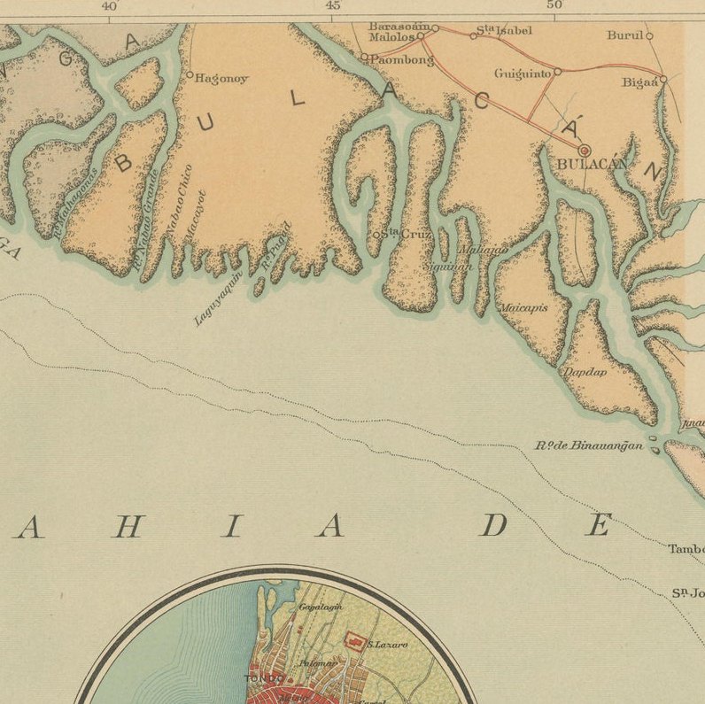
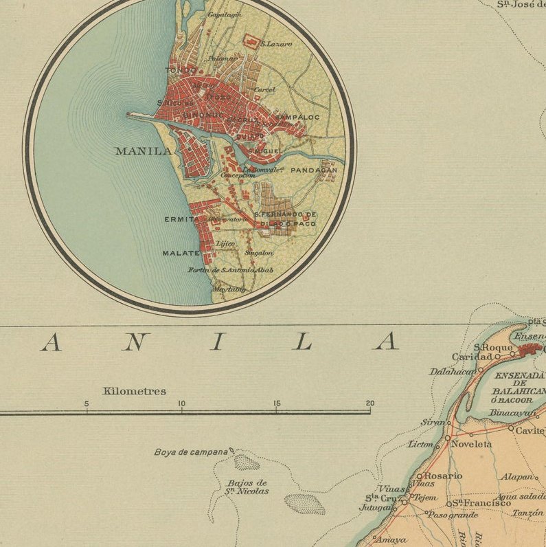
The map presents the entire bay, bordered by Cavite to the south and the Pampanga River delta to the north, capturing the geography and infrastructure of the late 19th century with remarkable precision. A circular inset at the center features a detailed plan of the city of Manila, showing its walled district (Intramuros), surrounding suburbs such as Binondo, Malate, and Quiapo, as well as the Pasig River with its bridges and wharves. This inset offers an invaluable historical record of the capital at the close of Spanish rule.
The color lithography employs delicate hues of tan, green, and blue to distinguish terrain and water depth, with soundings marked along the bay’s floor to aid maritime navigation. Roads, telegraph lines, rivers, and urban areas are finely delineated, while the legend (“Signos”) at lower left identifies symbols for capitals, pueblos, military posts, telegraph stations, and hydrographic soundings.
Stamped with the brown circular seal of the “Observatorio de Manila” and embossed with the insignia of the “U.S. Coast and Geodetic Survey,” this edition was included in the 1900 Atlas of the Philippine Islands, published in Washington by the U.S. Government Printing Office. It represents a pivotal moment in Philippine cartography — when Spanish scientific mapping transitioned to American survey standards.
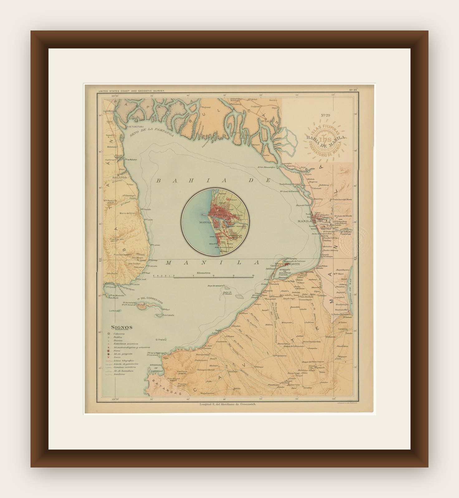
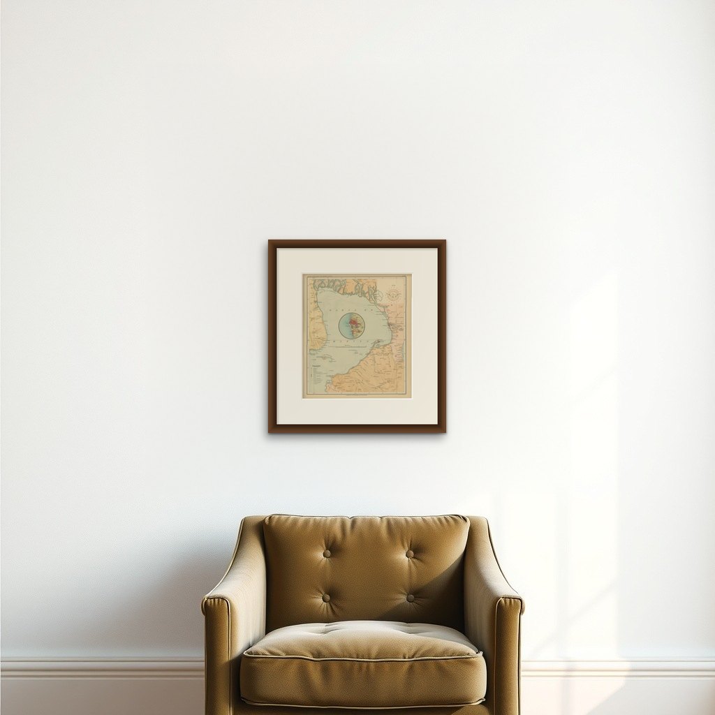
Framing tips: Frame in dark walnut or mahogany with an ivory mat to highlight the soft pastel tones of the map. The circular inset of Manila serves as a natural focal point, making this piece ideal for display in a historical or nautical-themed setting.