About this sheet
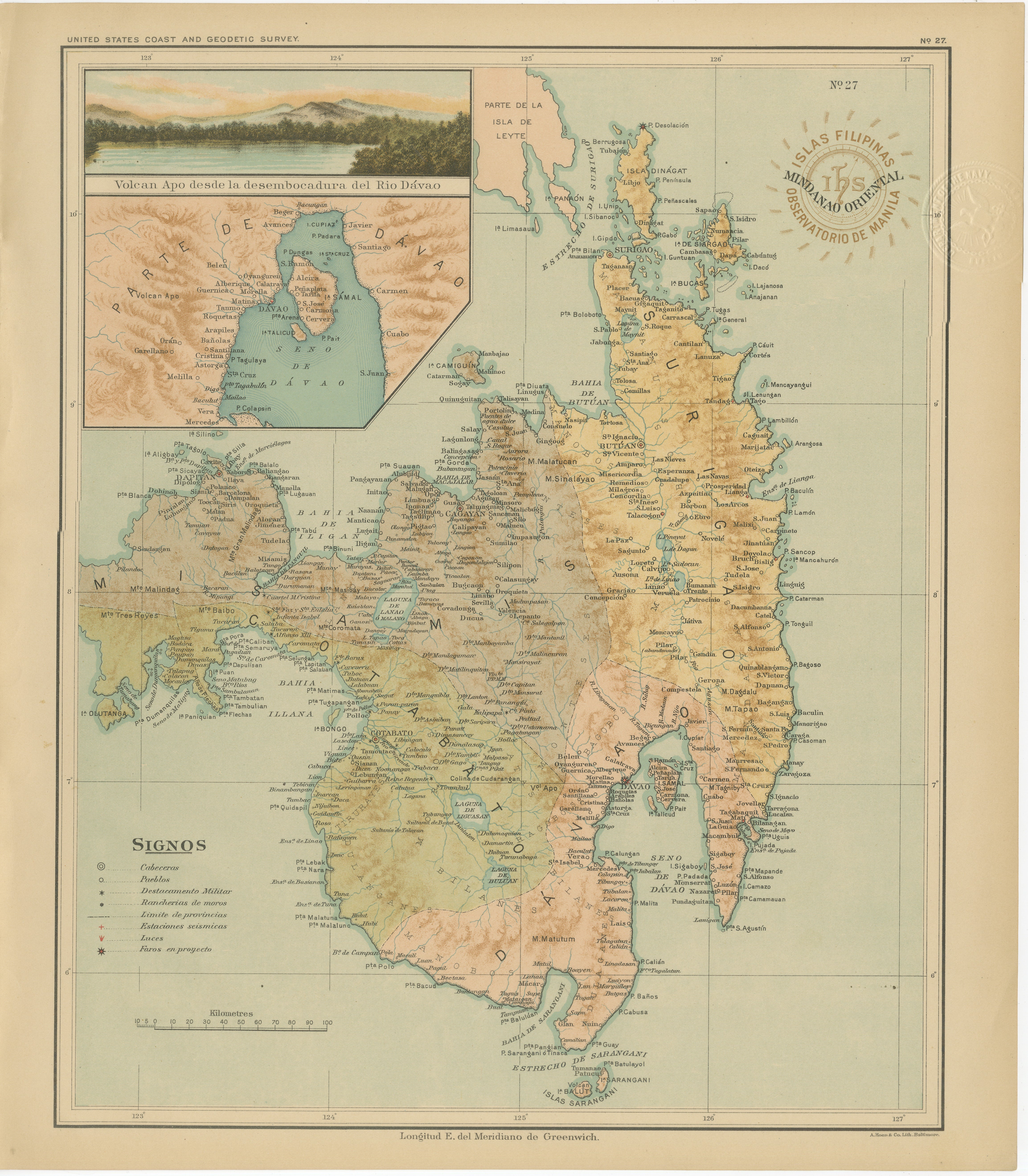
Map of Eastern Mindanao with Mount Apo – Observatorio de Manila, 1899
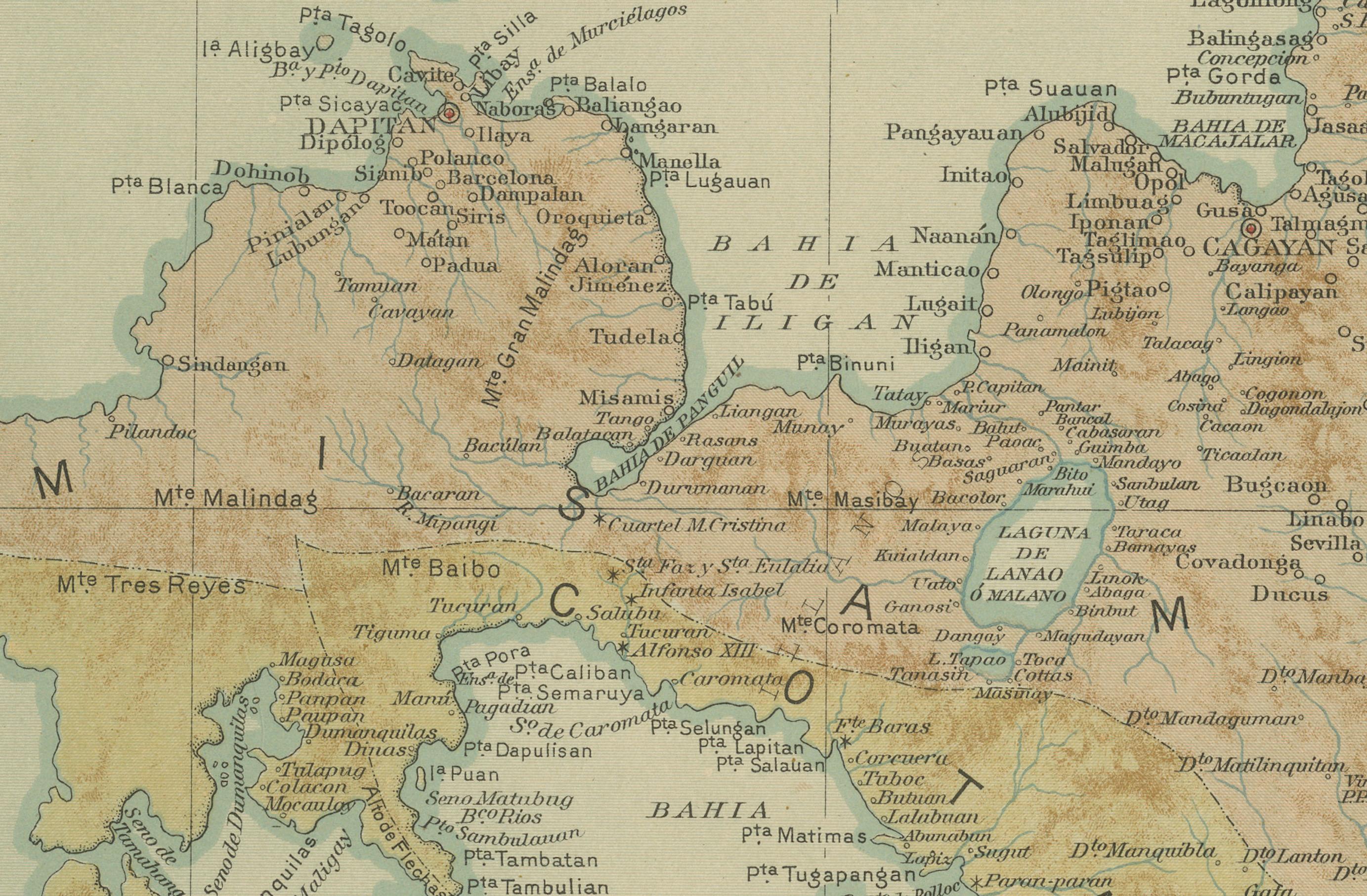
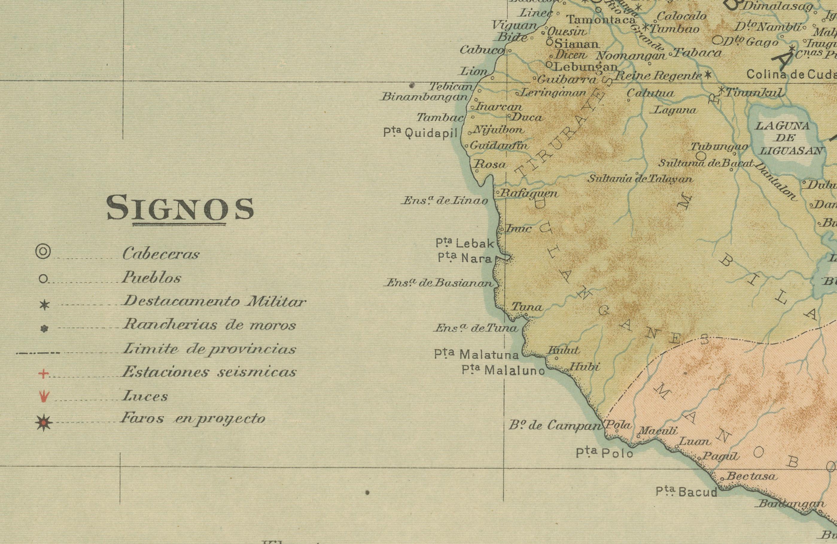
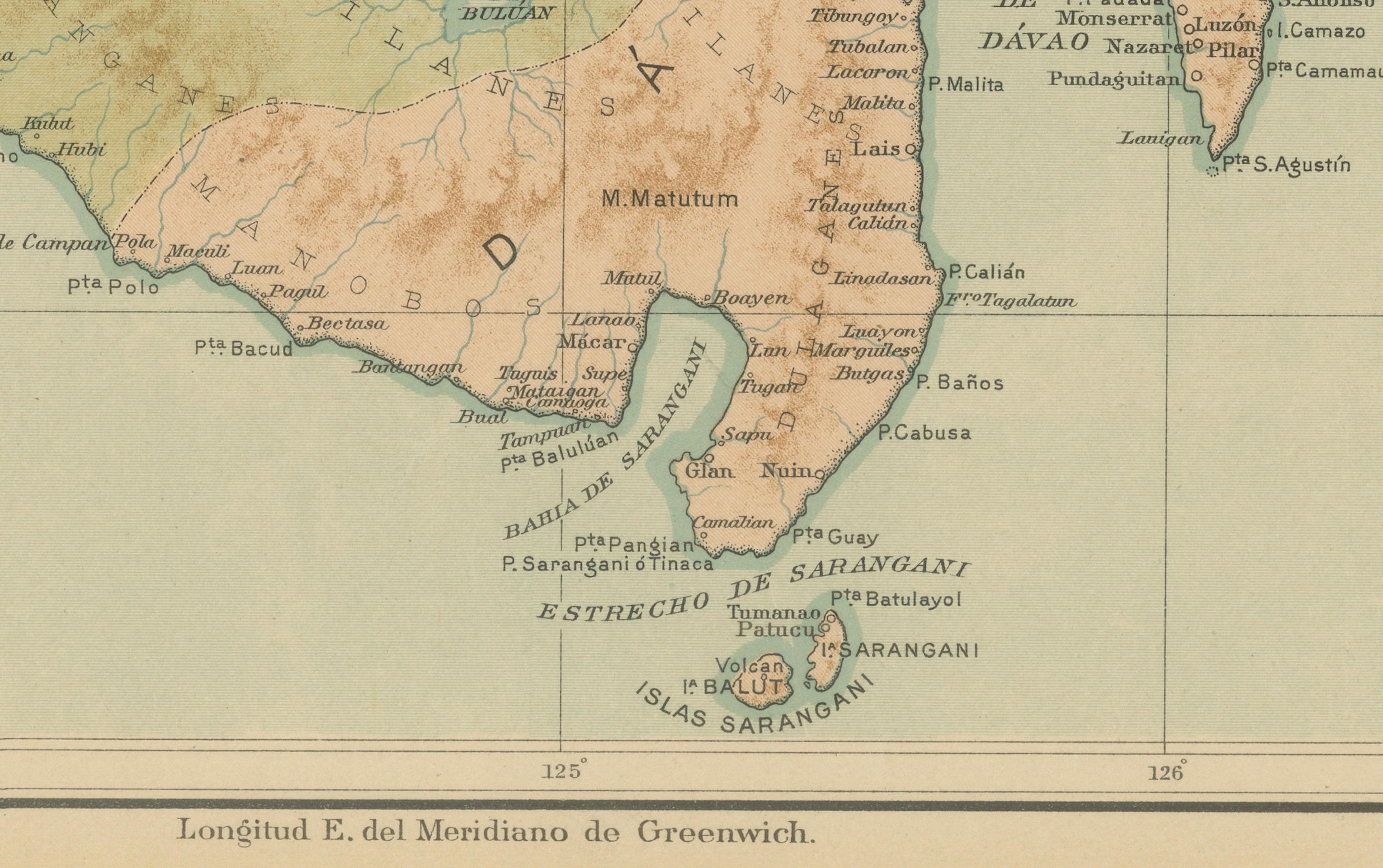
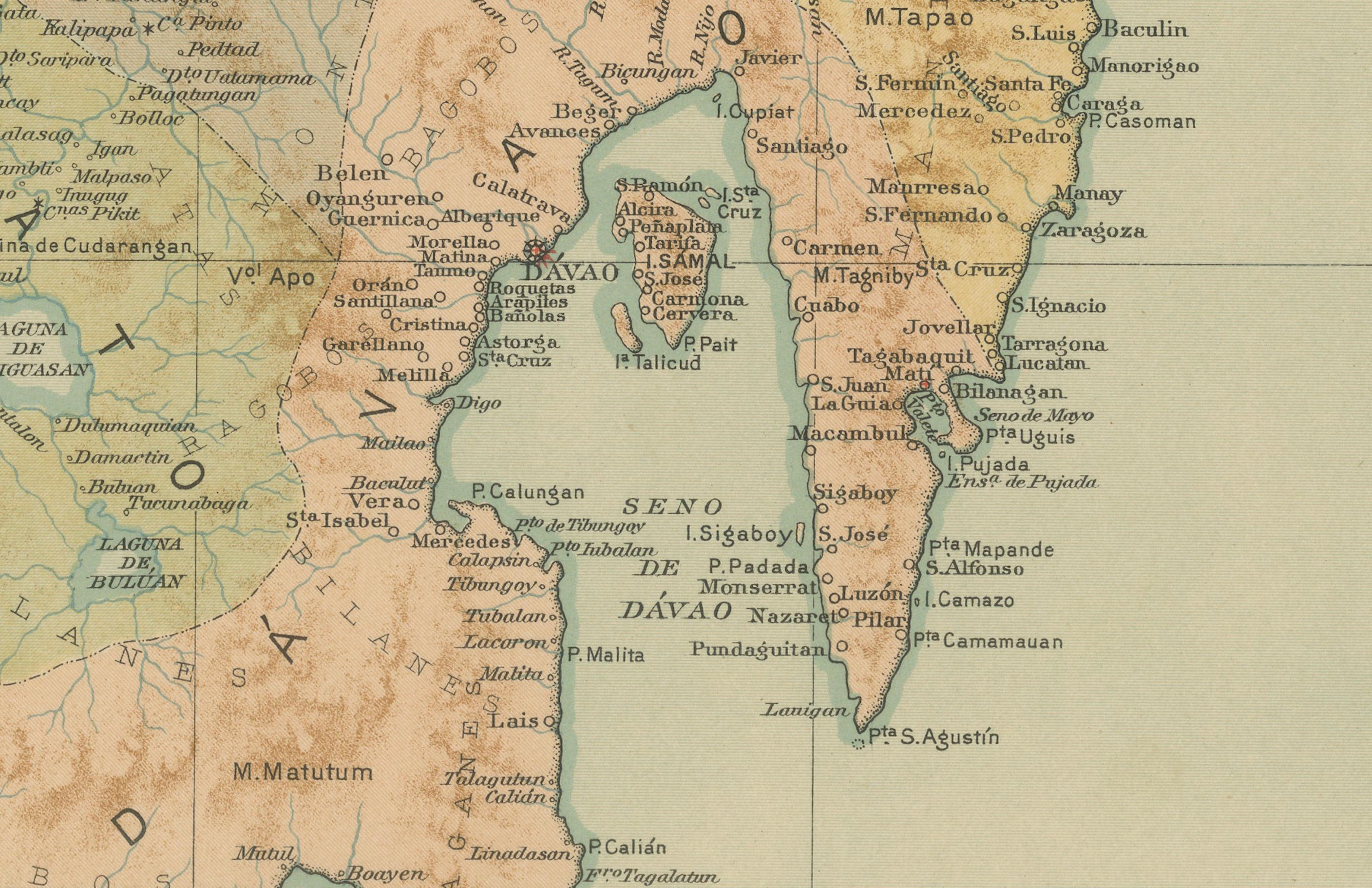
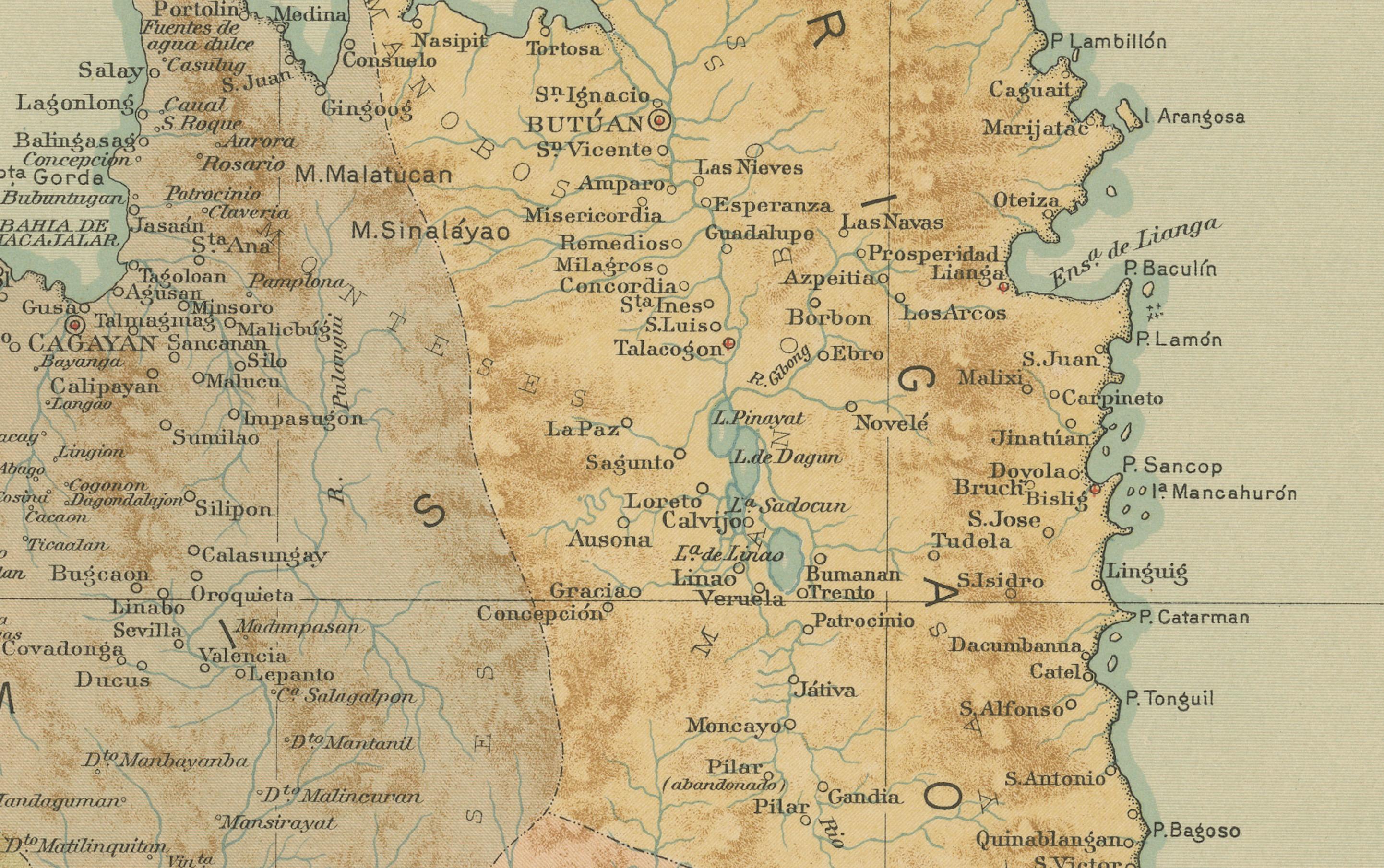
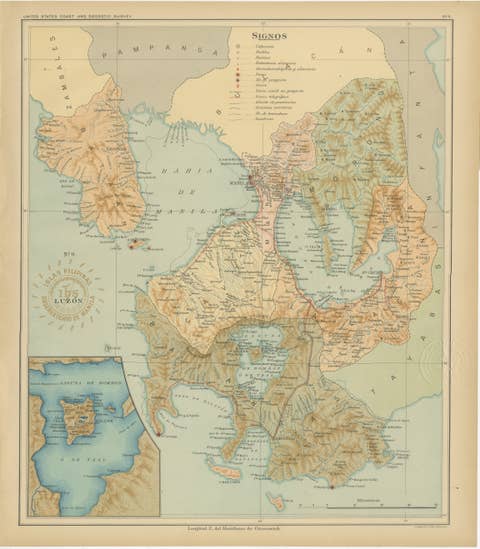
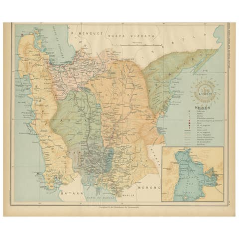
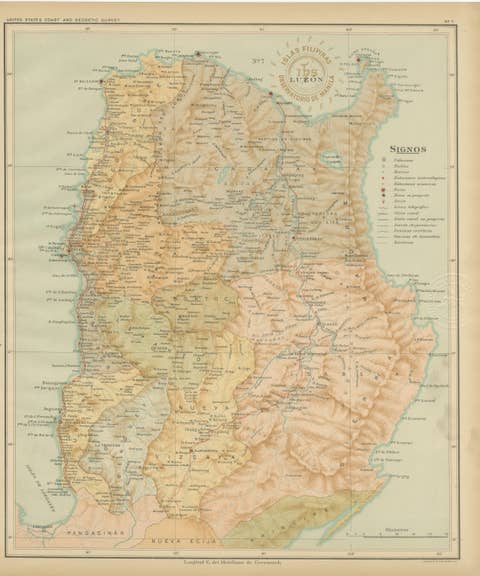
This original chromolithograph titled “Islas Filipinas – Mindanao Oriental” (Plate No. 27) was created under the direction of Rev. José Algué, S.J., Director of the Observatorio de Manila, and published in 1899 as part of the Atlas de Filipinas. It presents the eastern section of Mindanao in exquisite scientific and artistic detail, highlighting one of the most geographically and geologically complex regions of the Philippine archipelago.
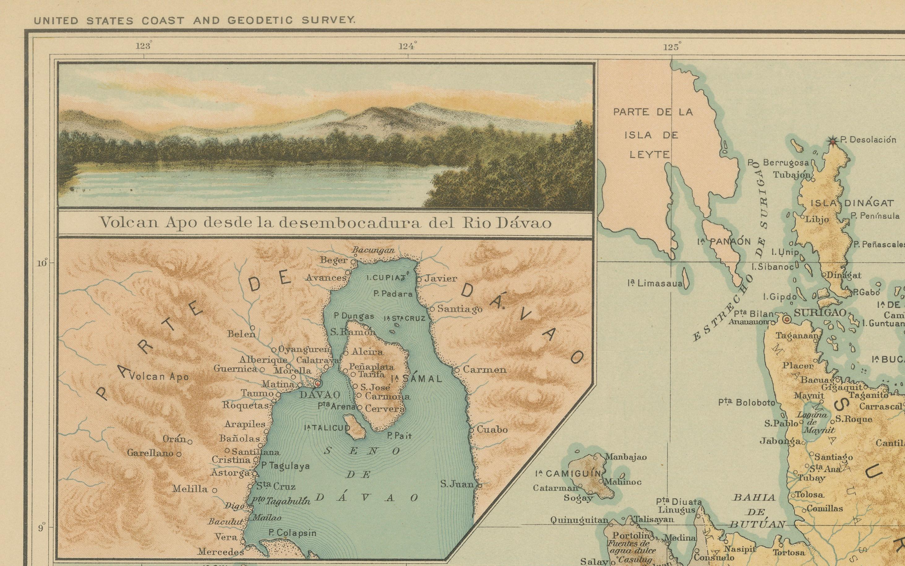
The map captures the provinces along the Davao Gulf and Surigao coastlines with remarkable precision, delineating their rugged mountain ranges, major rivers, and fertile lowlands. An inset in the upper left corner features a dramatic chromolithographic view of “Volcán Apo desde la desembocadura del Río Dávao” — a scenic depiction of Mount Apo, the highest peak in the Philippines, viewed from the mouth of the Davao River. This artistic addition reflects the Jesuit Observatory’s dual emphasis on scientific observation and visual documentation.
Numerous towns and administrative centers are labeled, along with telegraph lines, roads, and river systems. The “Signos” legend at the bottom left provides symbols for capitals, pueblos, and meteorological or military stations. The fine topographical shading conveys both elevation and terrain structure, making this plate an exceptional example of late 19th-century Jesuit cartography.
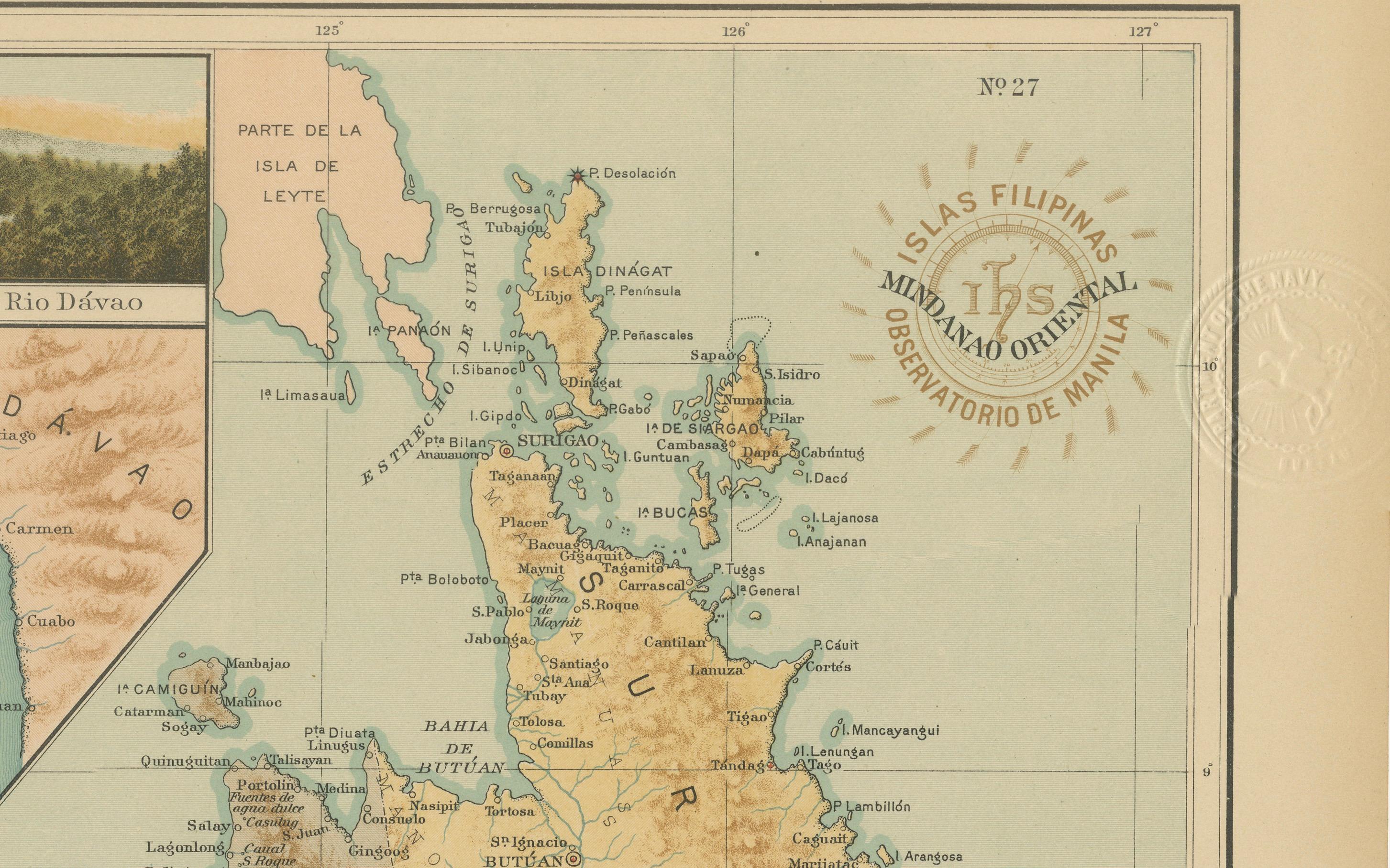
The round brown seal of the “Observatorio de Manila” appears prominently at the center right, alongside the embossed insignia of the “U.S. Coast and Geodetic Survey,” confirming that this map was later issued in the 1900 *Atlas of the Philippine Islands* printed by the U.S. Government Printing Office in Washington. These marks testify to the collaboration between Spanish Jesuit scientists, Filipino draftsmen, and early American cartographic authorities during the transition from Spanish to U.S. administration.
Condition: Excellent, with fresh color and crisp impressions. Paper lightly toned at edges; embossed and ink seals clean and fully legible.
Framing tips: Frame in warm walnut or mahogany with a soft cream mat to complement the earthy tones of the map. For a distinguished presentation, pair with the companion plate of Western Mindanao from the same atlas.
Technique: Chromolithograph on paper
Maker: Rev. José Algué, S.J., Observatorio de Manila, 1899