maps-prints.com
✦
Black Friday Sale
Friday 20 to Monday 30 November: up to 30% off original antique maps and prints
The terms
- Up to 30% off selected original antique maps and prints. Every piece is an original, printed in its own time; none is a reproduction.
- The sale runs from Friday 20 November to Monday 30 November. Sale prices shown here apply from Friday 20 November; until then pieces are sold at their regular price.
- Free FedEx shipping on qualifying orders placed on our own websites: USA, Canada, UK and Europe over $500 / €450; rest of the world over $750 / €675. Smaller orders pay our normal shipping rate.
- Orders placed from 15 to 30 November ship from 1 December, in time for Christmas. Our shipping partner is InXpress.
- Each piece is unique, so the sale is while stock lasts.
Collection:AllAmericanSea chartsMilitaryNatural historyFashionArchitectureBotanicalSacredEast Indies
Sale prices apply from Friday 20 November. Save the pieces you like with the heart and come back on Friday.
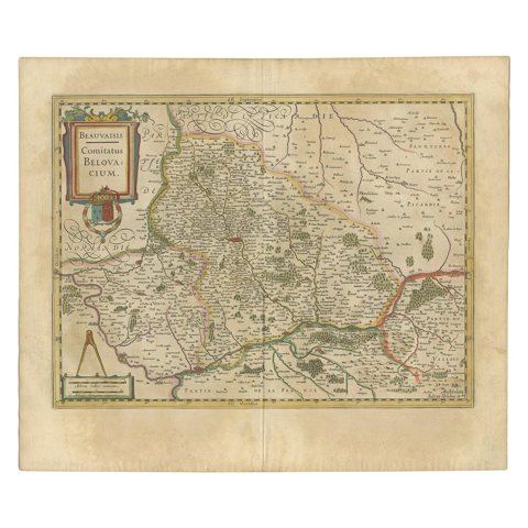 Antique Map of the Region of Beauvais by Hondius, circa 1630
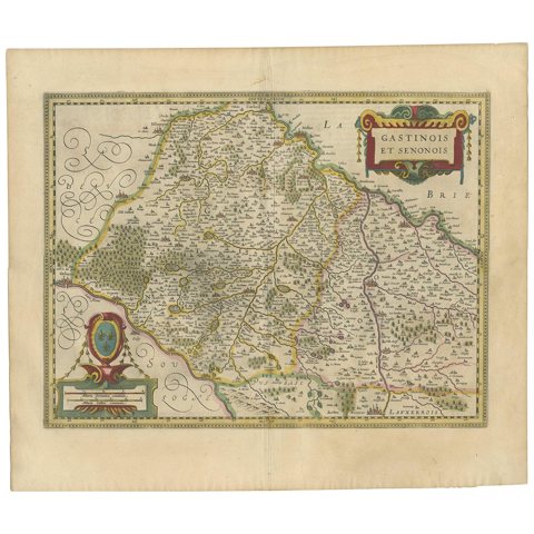 Antique Map of the Region of Étampes and Sens by Hondius, circa 1630
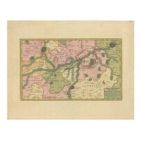 Antique Map of the Region of Bouchain and Cambrai by Visscher 'circa 1680'
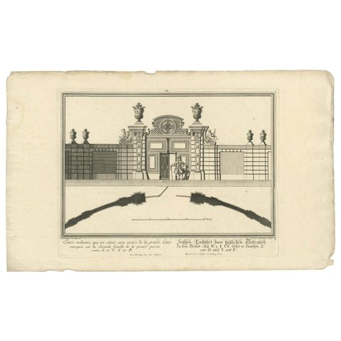 Antique Print of a Courtyard Gate by Wolff, 1736
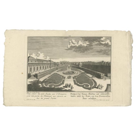 Antique Print of a Small Garden and Building by Wolff, 1737
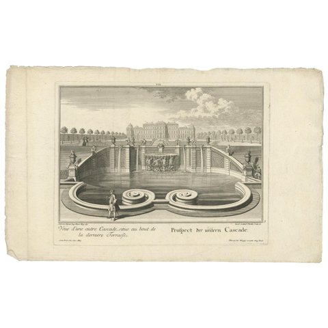 Antique Print of the Lower Cascade by Wolff '1737'
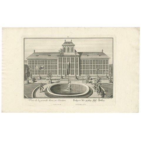 Antique Print of the Large Glass House by Wolff '1738'
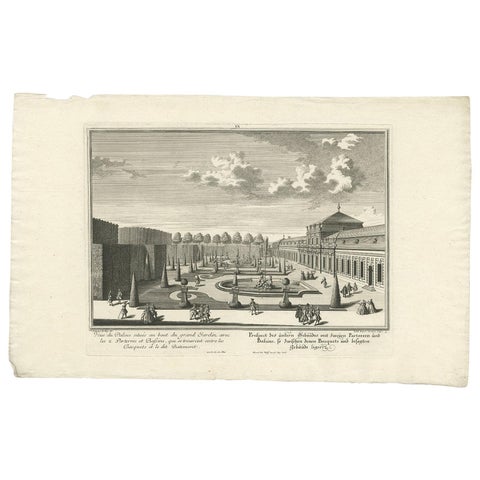 Antique Print of the Lower Building with Ground Floors by Wolff '1738'
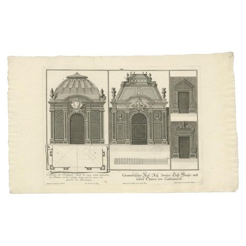 Antique Print of Two Pavilions and Gates by Wolff '1737'
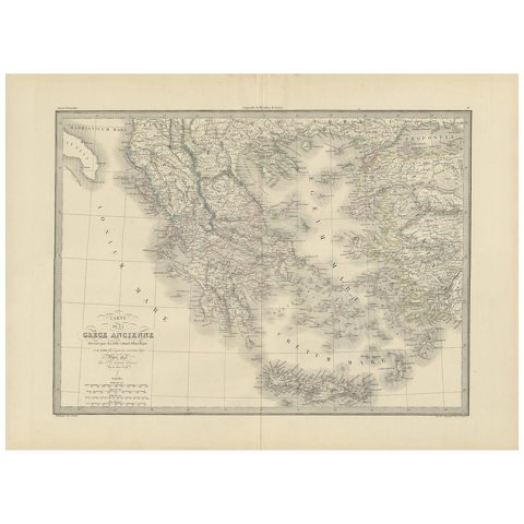 Antique 1842 Map of Greece by Pierre M. Lapie, Mid-19th Century
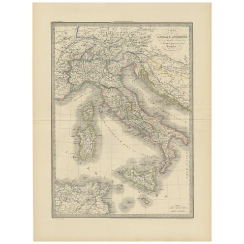 Antique Map of Italy by Pierre M. Lapie, Paper Print, Mid-19th Century
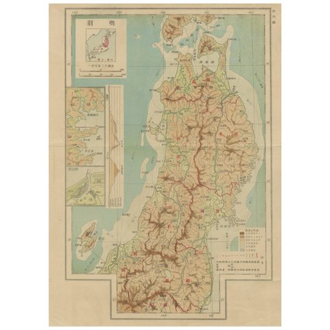 Set of 11 Antique Maps of Japan Originating from a Japanese Atlas, 1906
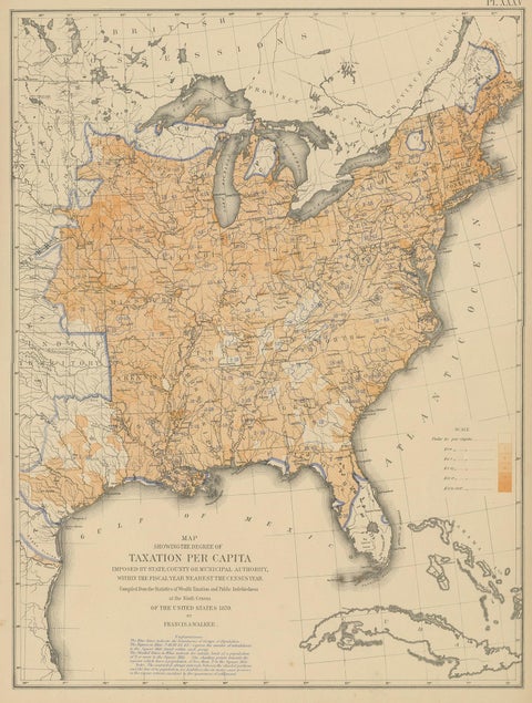 Pl. 35 Antique Chart of the US Taxation, 1874
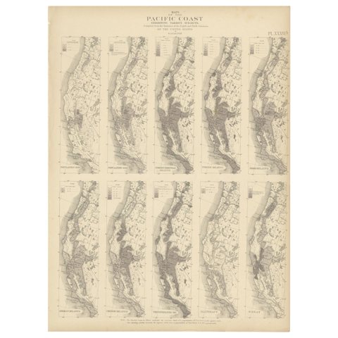 Antique Chart of the Pacific Coast '1874'
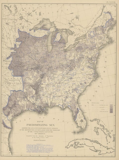 Antique Chart of the US Predominating Sex, 1874
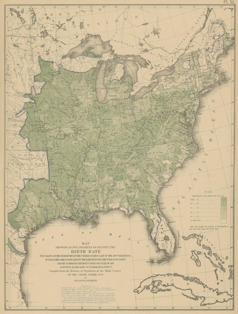 Pl. 40 Antique Chart of the US Birth Rate, 1874
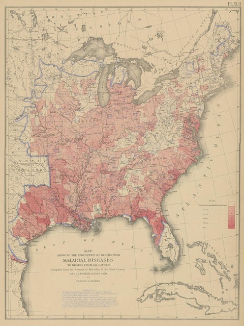 Antique Chart of the US Malarial Deaths, '1874'
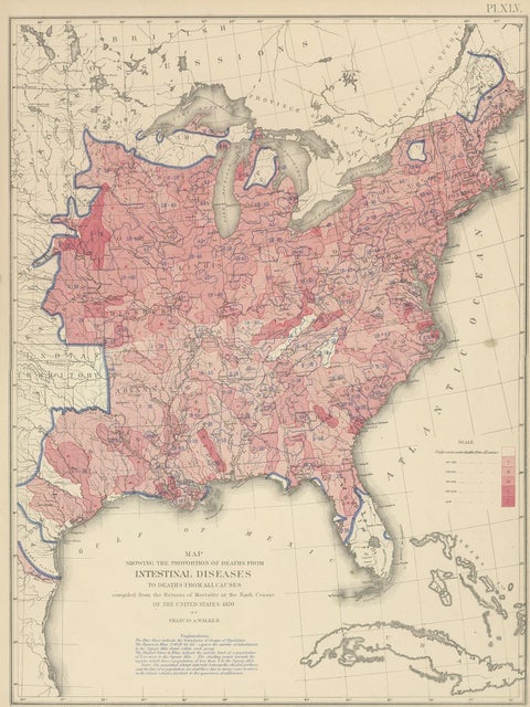 Pl. 45 Antique Chart of the US Inestinal Diseases Deaths, 1874
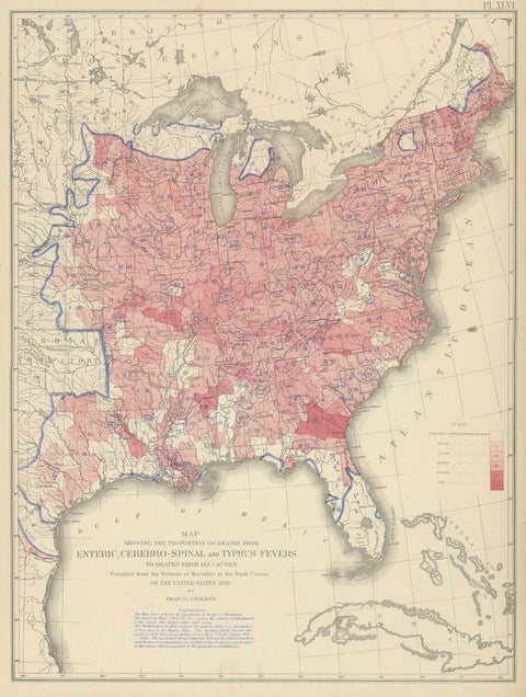 Antique Chart of the US Enteric, Cerebro-Spinal, Typhus Deaths, '1874'
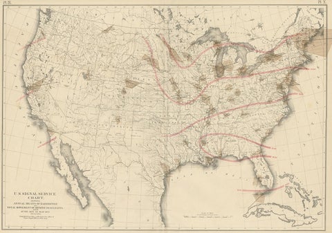 Pl. 9 Antique Map of the Air Movement of the United States by Walker '1874'
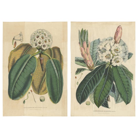 Set of 2 Antique Botany Prints, Rhododendron, by Louis van Houtte, 1849
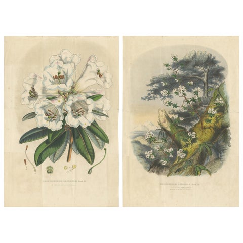 Set of 2 Antique Botany Prints, Rhododendron Dalhousiae, by Van Houtte '1849'
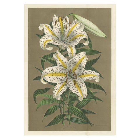 Antique Botany Print of the Lilium Auratum by Van Houtte, 'circa 1862'
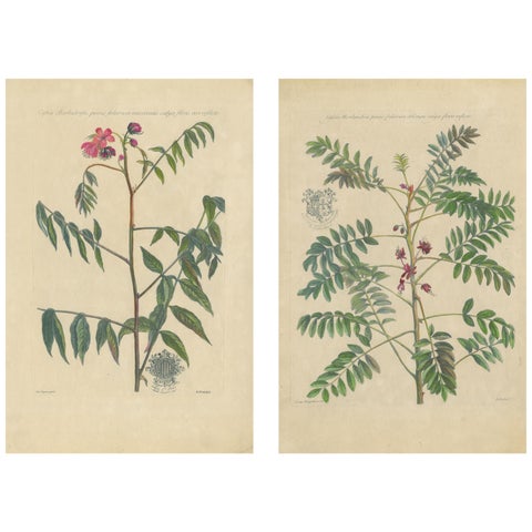 Set - Cassia Barbadensis & Marilandica – Botanical Prints by John Martyn c.1728
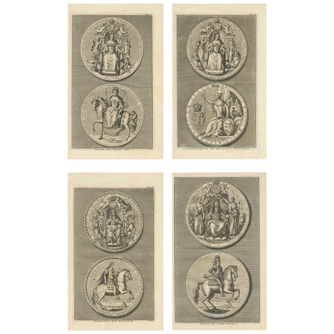 Set of 4 Antique Print of Great Seals by Rapin de Thoyras, circa 1780
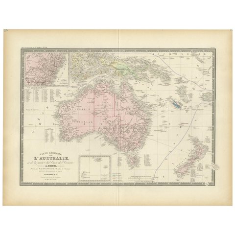 Antique Map of Australia by Levasseur, '1875'
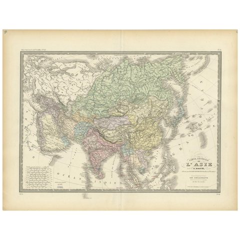 Antique Map of the Asian Continent by Levasseur, '1875'
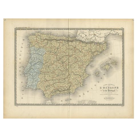 Antique Map of Spain and Portugal by Levasseur, '1875'
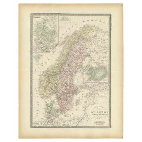 Map of Scandinavia – Antique Atlas Map by A. Levasseur, France, 1875
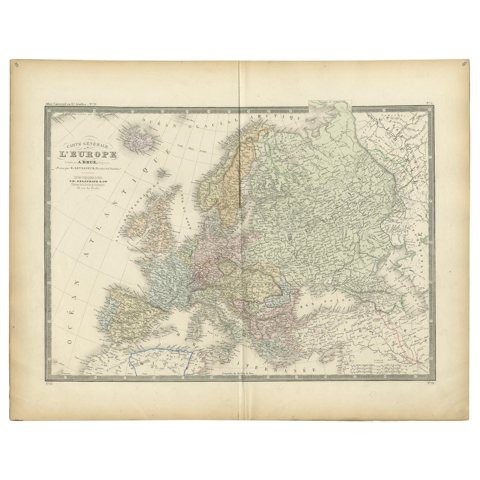 Antique Map of Europe by Levasseur, '1875'
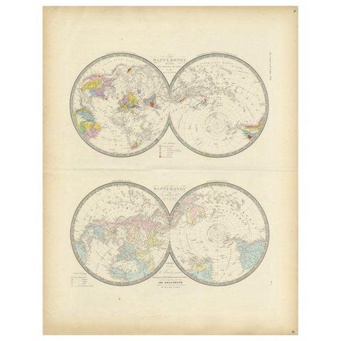 Antique Hemisphere Map of the World 'Two on One Sheet' by Levasseur, '1875'
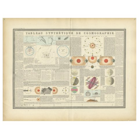 Antique Print of the Planetary Systems of the World by Levasseur, '1875'
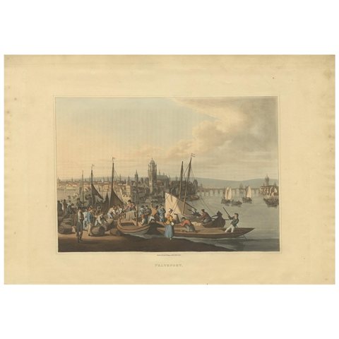 Antique Print of Frankfurt by Bowyer, '1816'
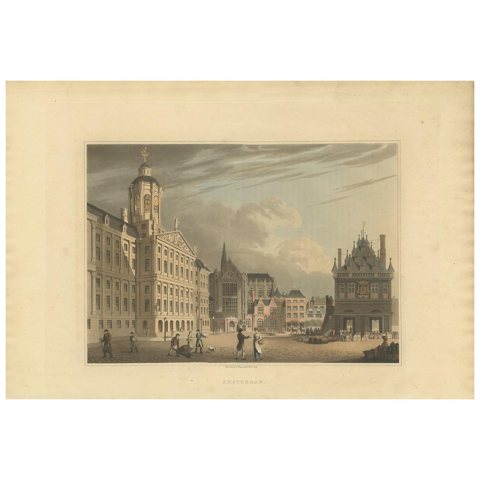 Antique Print of Amsterdam by Bowyer, '1816'
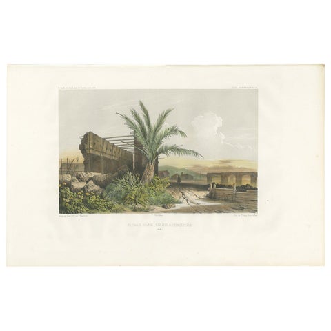 Antique Print of a Ruin in Concepción 'Chile' by D'Urville, circa 1850
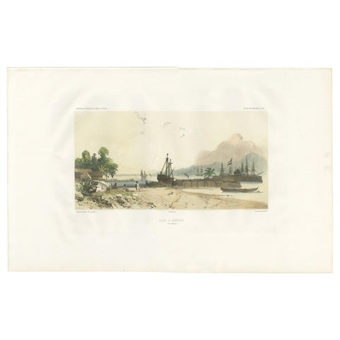 Antique Print of the Port of Ambon by D'Urville, circa 1850
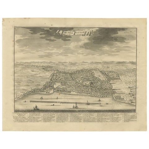 Antique Print of Bantam or Banten, Java, Indonesia, '1726'
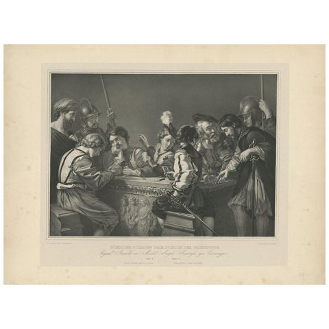 Antique Print of a Caravaggio Painting showing Soldiers Gambling, 'circa 1840'
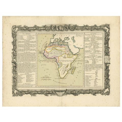 Antique Map of Africa by Claude Buy de Mornas '1761'
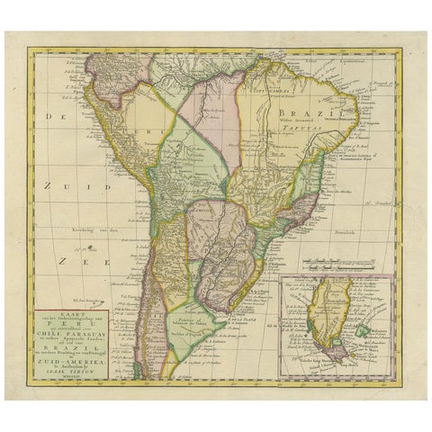 Antique Map of South America by Tirion 'circa 1765'
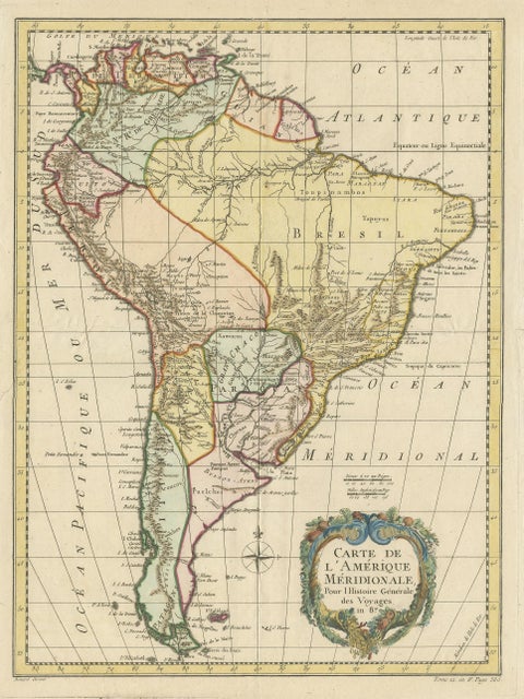 Antique Map of South America by De la Harpe '1780'
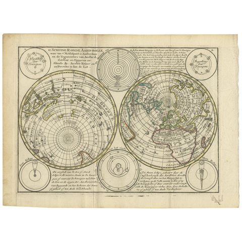 Antique Map of the World in Hemispheres by Keizer & de Lat, 1788
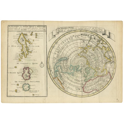 Antique Map of the North Pole & Sangihe Archipelago by Keizer & de Lat, 1788
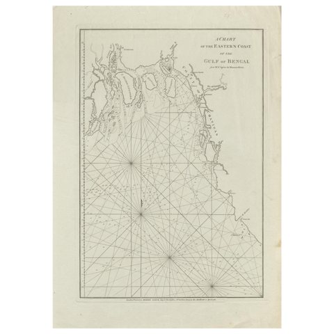 Antique Map of the Bay of Bengal Printed for Robert Sayer, 1787
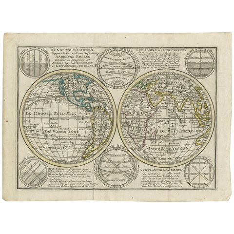 Interesting Antique Engraving of the World in Hemispheres with 6 Diagrams, 1788
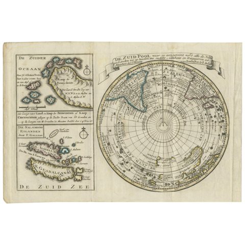 Antique Map of the South Pole by Keizer & de Lat, 1788
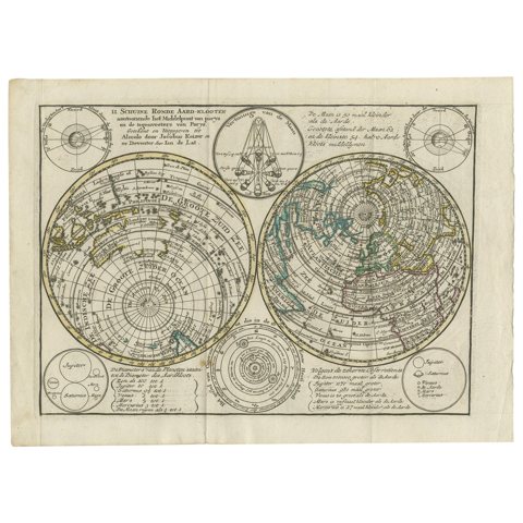 Antique Map of the World with Polar Projections by Keizer & de Lat, 1788
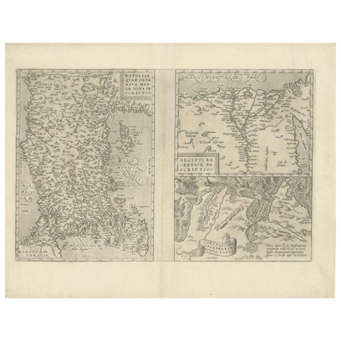 Antique Map of Asia Minor, Region of the Nile and Region of the City of Carthage
Sharing the sale? Download the Black Friday banners.