Maps & PrintsBartele Gallery · Langweer
Home / Antique Maps / Asia / West Asia & the Holy Land

West Asia & the Holy Land

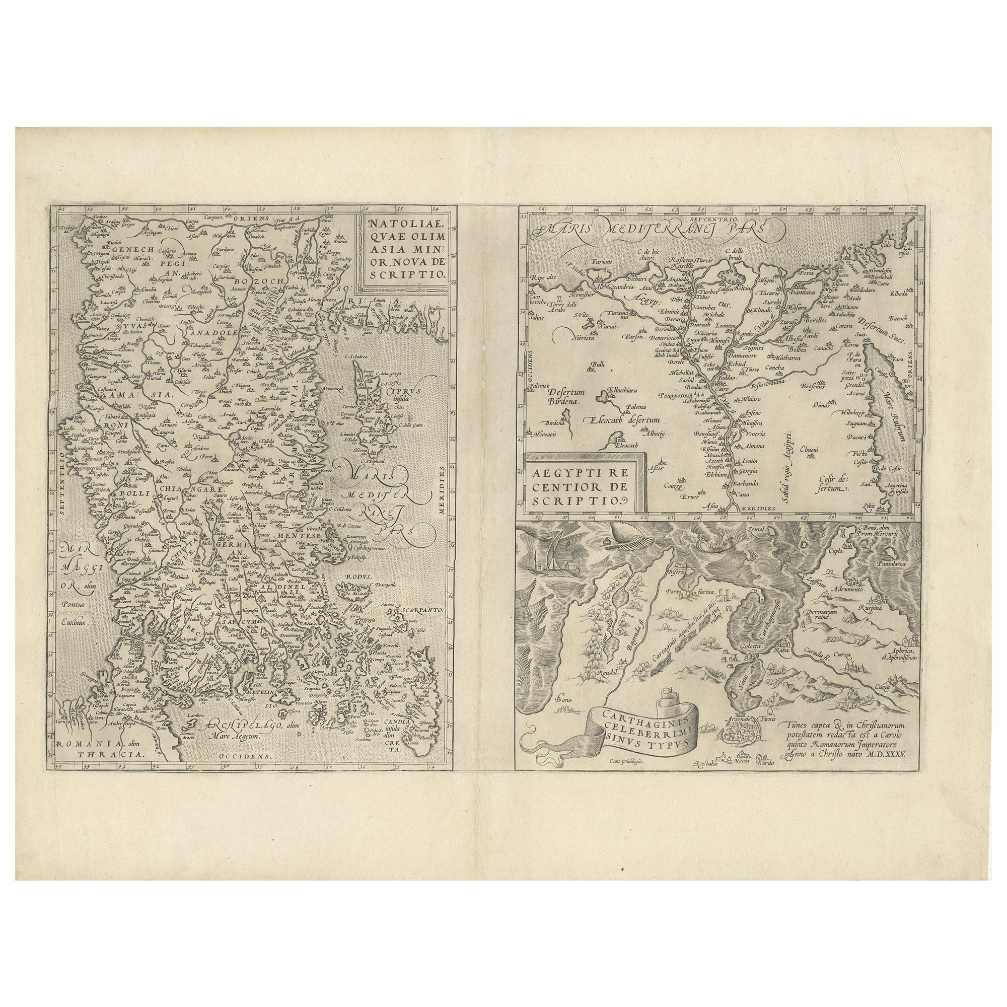
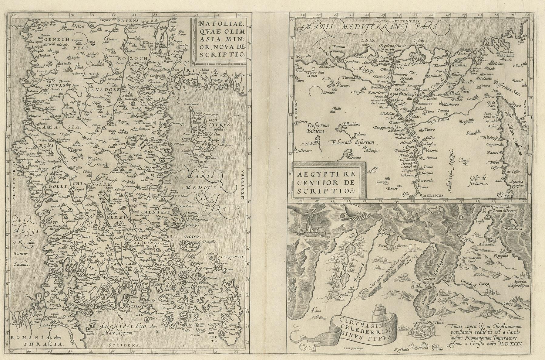
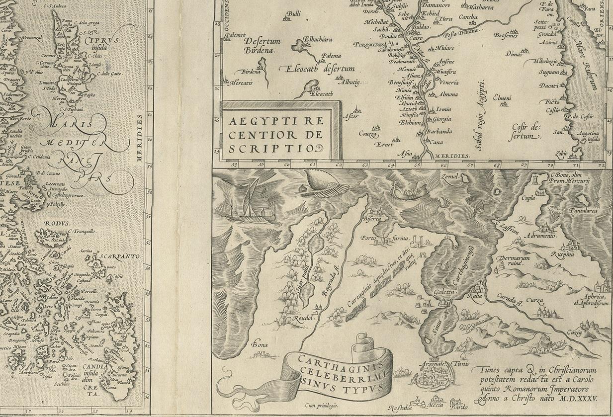
Antique Map of Asia Minor, Region of the Nile and Region of the City of Carthage

€ 500

One of a kind: this is the sheet in the photographs. Ships from Langweer, the Netherlands.

Sheet size
43 × 56 cm (16.9 × 22.0 in)
Condition
Good
Reference
BG-12879-3

Condition

Repaired: Please read description below. General age-related toning, minor wear. Latin text verso, central vertical fold with several repairs to small loss. Please study images carefully.
About this sheet

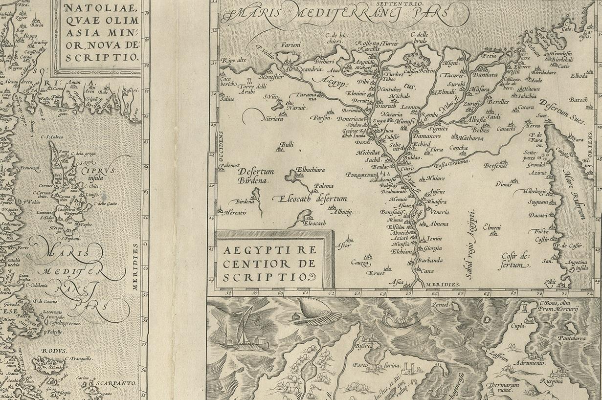
Three antique maps on one sheet titled 'Natoliae quae olim Asia Minor [with] Aegypti recentior descriptio [with] Carthaginis Celeberrimisinus Typus'. The first map covers Asia Minor, Cyprus, and the Eastern Mediterranean. The second map shows the region around the Nile, as far as Aswan. The third map shows the environs of the City of Carthage. Published by A. Ortelius, circa 1571.

More from West Asia & the Holy Land

Ask about this sheet

Antique Map of Asia Minor, Region of the Nile and Region of the City of Carthage
Ref. BG-12879-3 · € 500
We reply by email, usually within one working day.